You what the parliament of marmots is? This 16 km long hike takes you from Pederoa via the Fanes pastures to San Cassiano and passes by some magic venues of Dolomite sagas
Image gallery: Hike in the Kingdom of Fanes
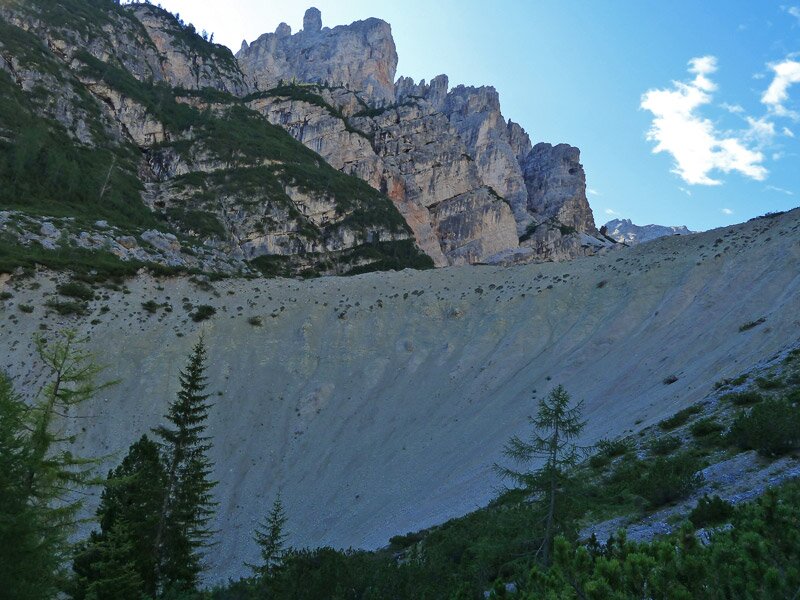

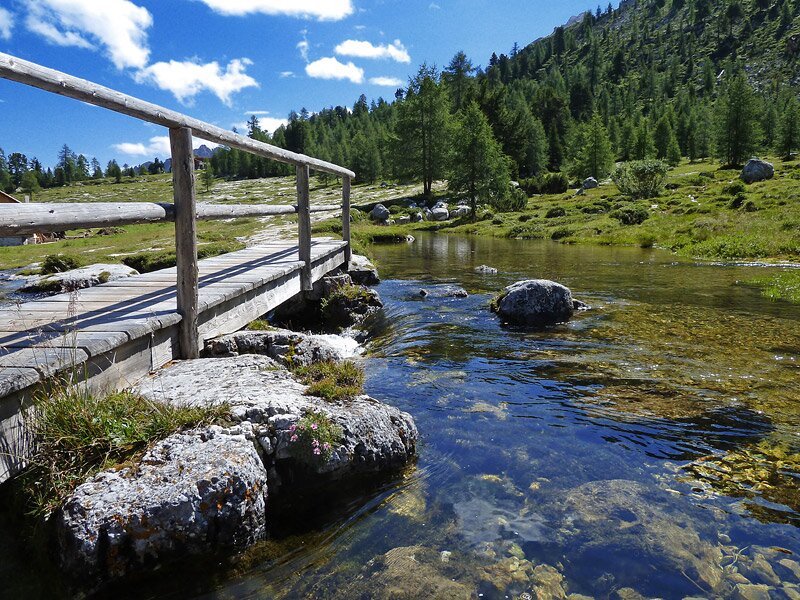
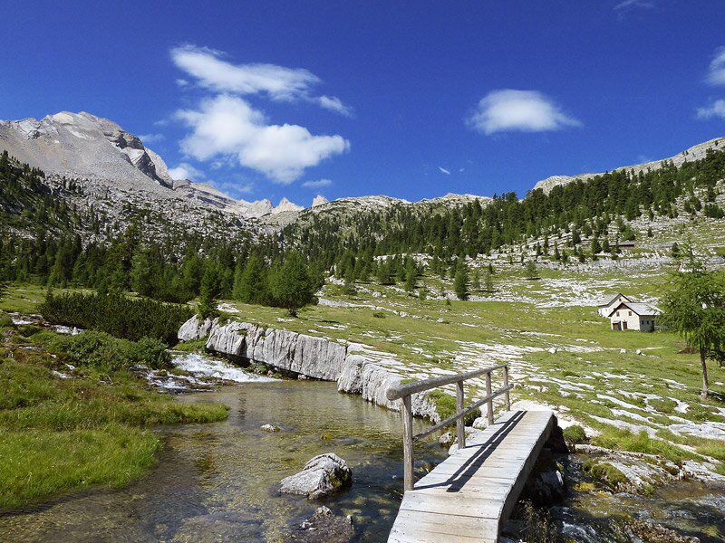
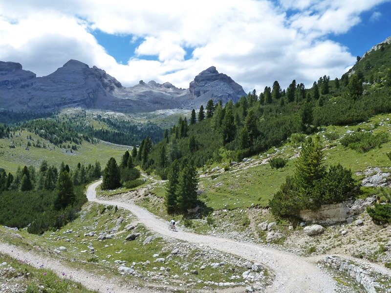
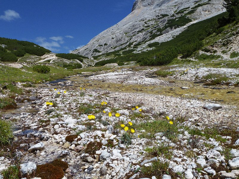
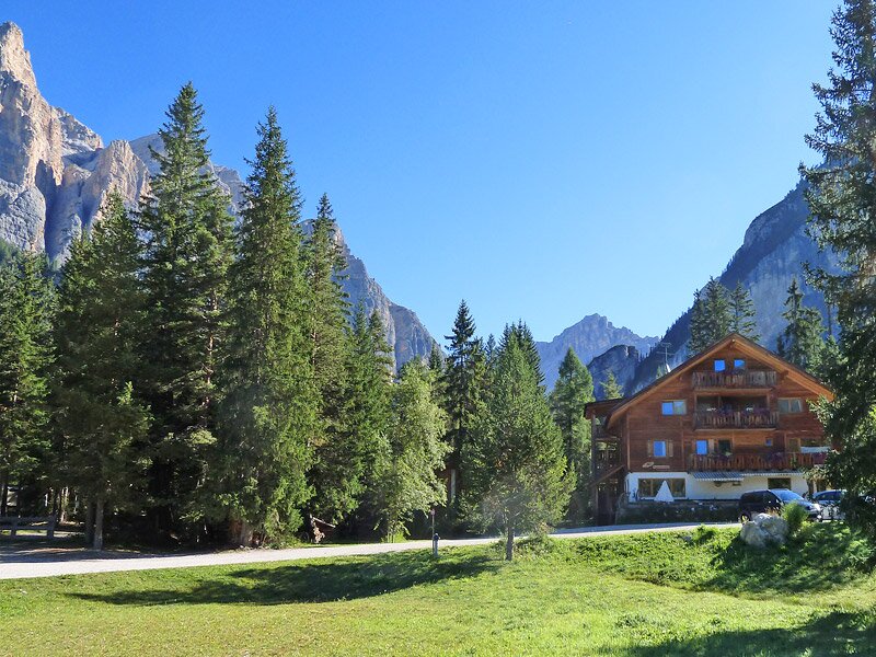

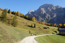
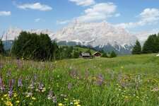
The shuttle bus takes us from S. Vigilio di Marebbe to the Valle di Tamores to the Rif. Pederü. This is where our hiking tour, leading to a completely different world, starts. The path winds up along a funnel-shaped cone of Dolomite stones and takes us to a high-valley that is covered by mountain pines. A little more comfortable, the path proceeds to the meadows of the Pices Fanes pasture.
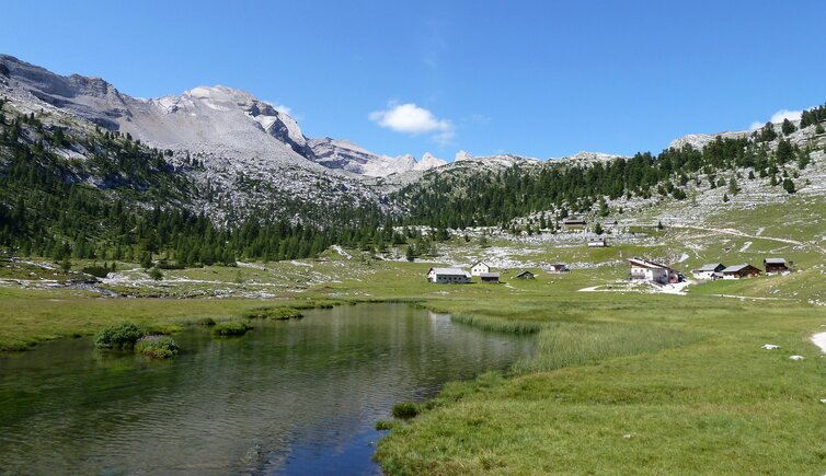
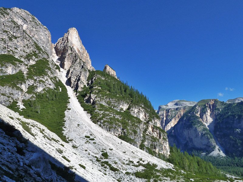
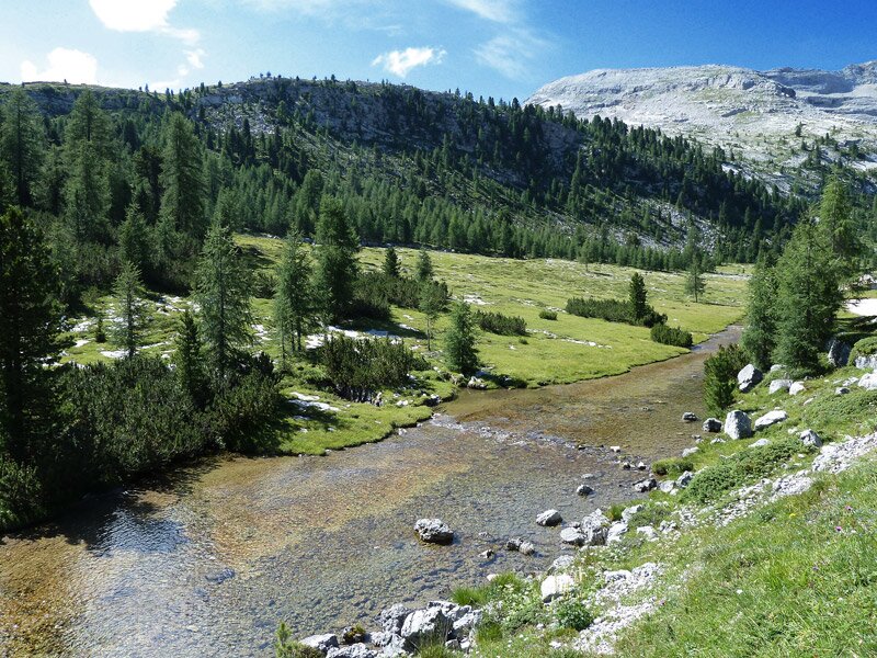
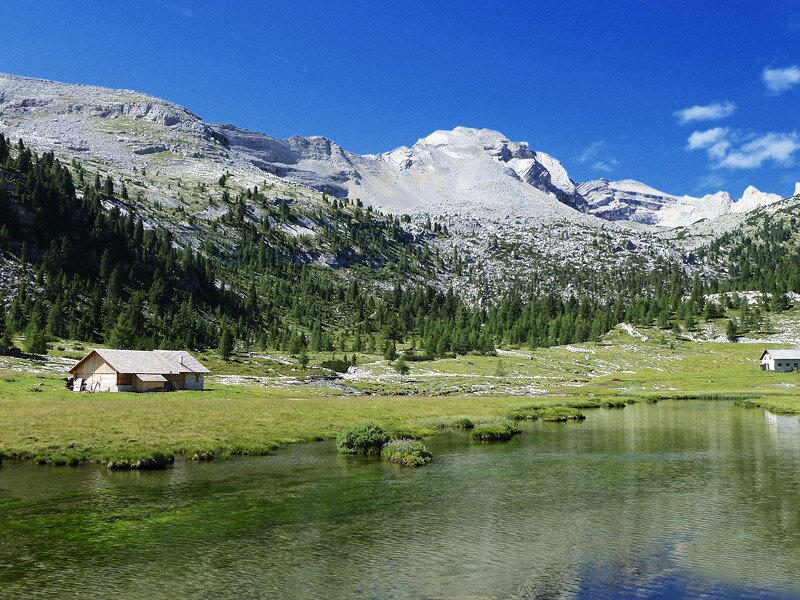
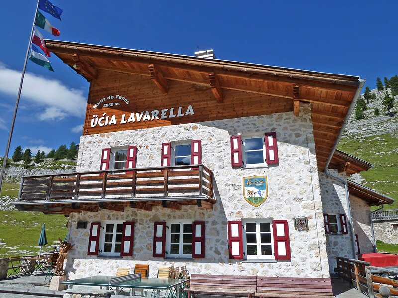
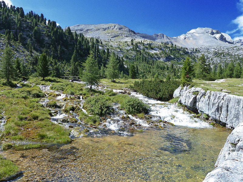
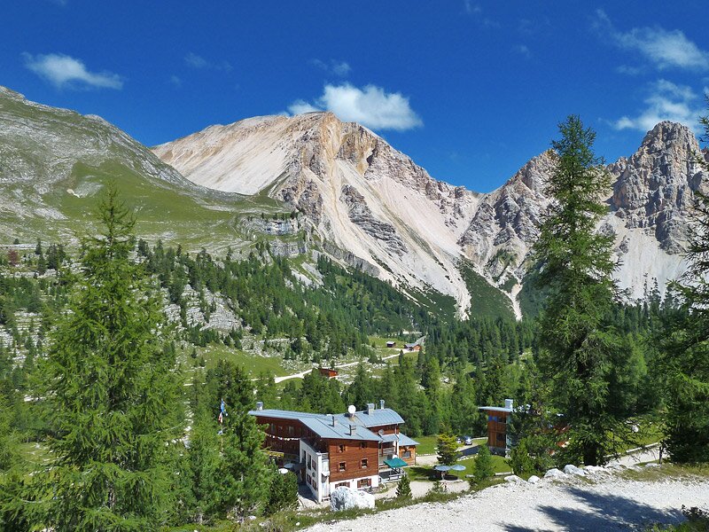
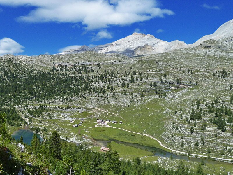
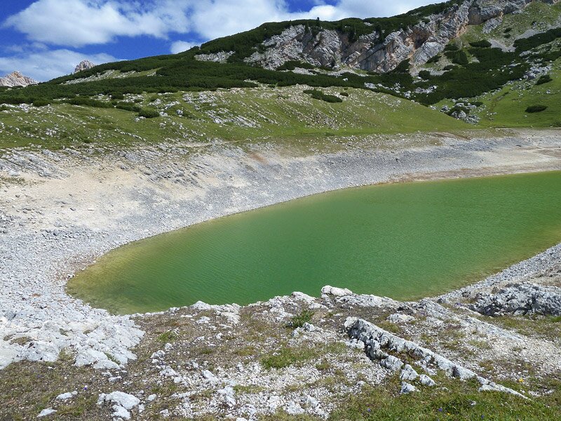
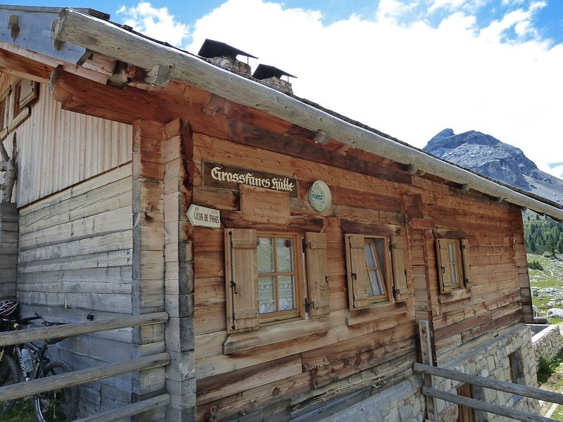
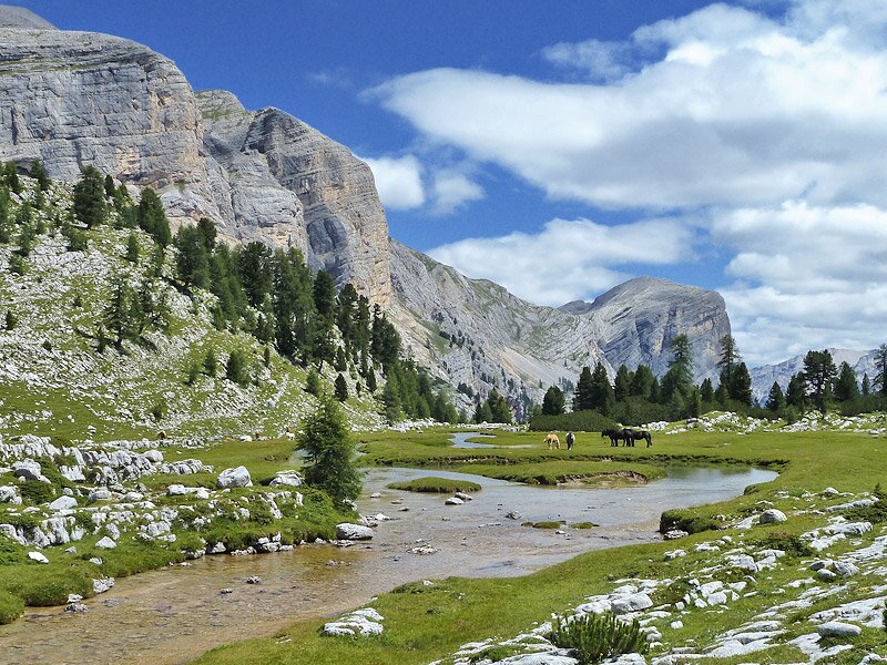
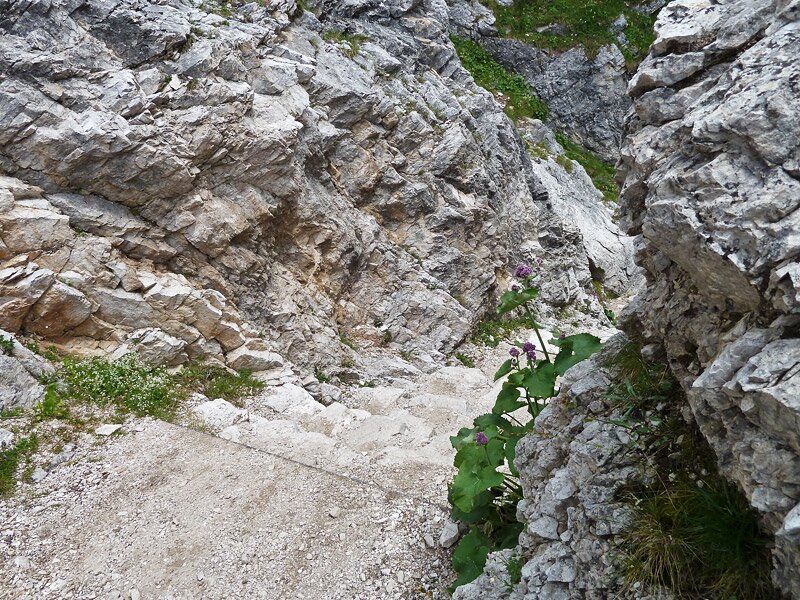
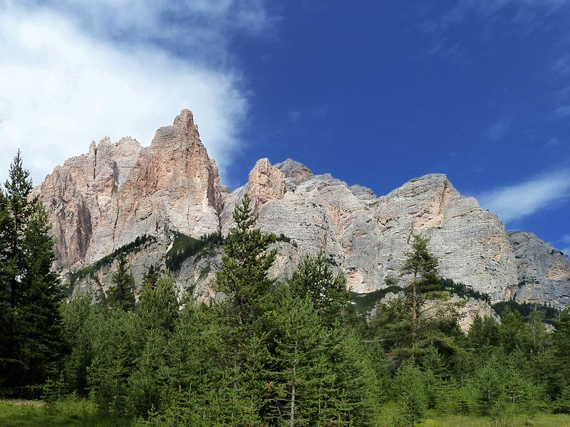
A fairytale-landscape with meandering rivers in the middle of the high moor and the light stones of the Dolomite rocks accompany us to the Lavarella mountain hut. A natural, gigantic amphitheatre, the strata of which consist of Dolomite rocks, surrounds us. It is the parliament of marmots (Parlament der Murmeltiere in German), to make the beautiful landscape even more impressive. We continue to the Passo Limo, passing by the Lé Vert and the Rif. Fanes. This is where we can fully enjoy the beauty of the natural landscape. Of course there are also marmots calling. We proceed further up, until we reach the Passo Limo at 2,170 m asl. This is where also Lake Limo is located, striking above all due to its yellow-green colours and its location right under the Col Bechei.
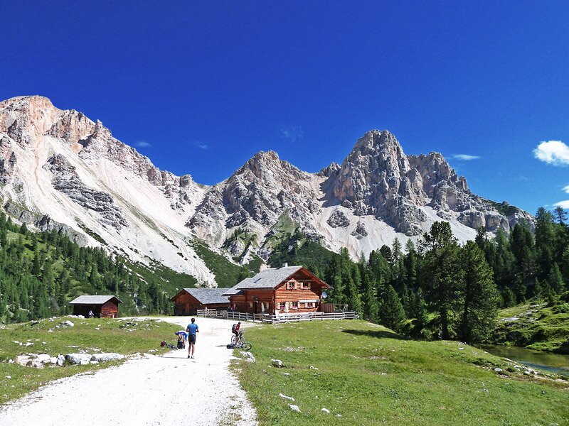
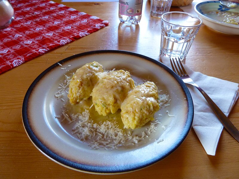
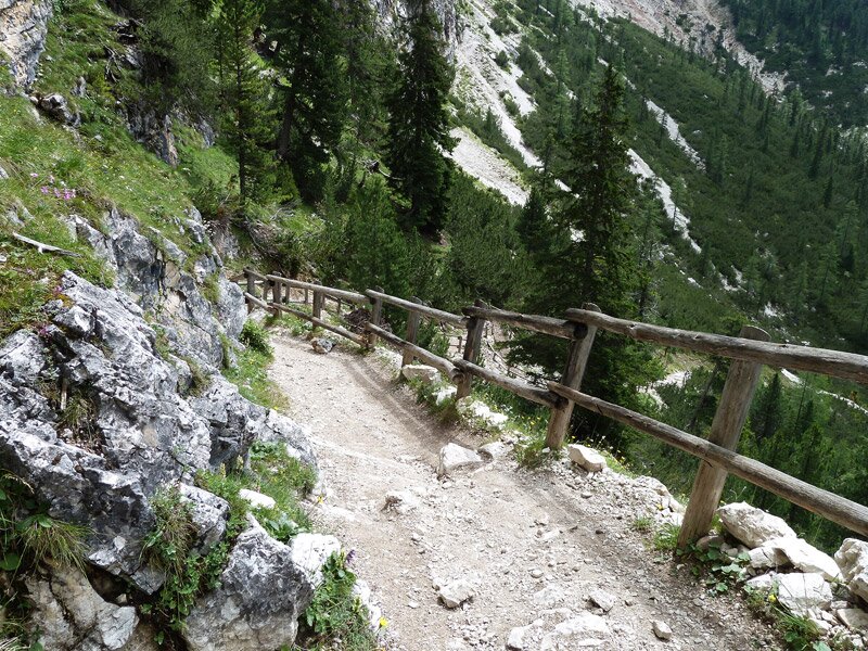
The first walk down follows, leading to the Malga Gran Fanes. As it is midday, we have lunch in this mountain hut. The landscape surrounding us at the watershed to the Piave is not less impressive than the scenery of this morning. Via the path no. 11 we prodeed to Sciaré at San Cassiano, taking a short but rough path and a longer, almost flat path. In Sarè we get on the bus, taking us back to the municipality of Marebbe.
Author: AT
-
- Starting point:
- Rif. Pederü in the Valle di Tamores (can be reached by bus from Marebbe)
-
- Overall time:
- 05:30 h
-
- Total route length:
- 16,7 km
-
- Altitude:
- from 1.539 m to 2.170 m
-
- Altitude difference:
- +779 m | -659 m
-
- Route:
- Pederü - Rif. Lavarella - Jù de Limo - Malga Gran Fanes - Jù dal'Ega - Col de Locia - Saré
-
- Signposts:
- no. 7, 11
-
- Destination:
- Sciaré (Saré), bus stop
-
- Resting points:
- Rifugio Lavarella, Rifugio Fanes, Ucia de Gran Fanes (mountain huts)
-
- Recommended time of year:
- Jan Feb Mar Apr May Jun Jul Aug Sep Oct Nov Dec
-
- Download GPX track:
- Hike in the Kingdom of Fanes
If you want to do this hike, we suggest you to check the weather and trail conditions in advance and on site before setting out.