From Mt. Col Pradat, the viewpoint below the Sassongher, the route climbs up to the Gardenaccia plateau and on to the Rifugio Puez
Image gallery: Hike from the Col Pradat to the Rifugio Puez
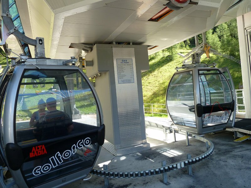

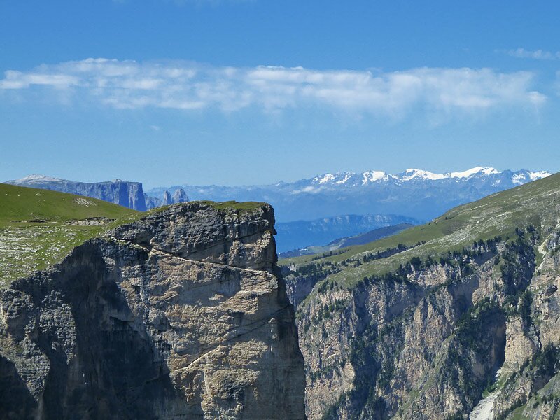

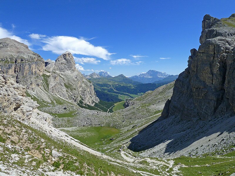
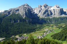
The Col Pradat Cable Car starts in Colfosco, taking us to an altitude of 2,030 metres in just a few minutes. From here, we can take in the striking landscape of the Dolomites - the view stretches from the Fanes Group to the Marmolada, with the mighty Sella Group in front of us and the green landscape extending from the Passo Gardena to Corvara. We set off along path 4A.
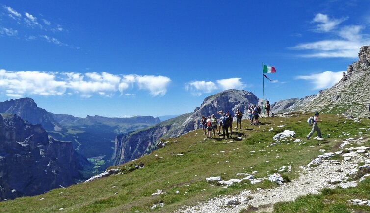
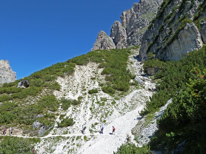
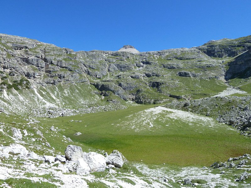
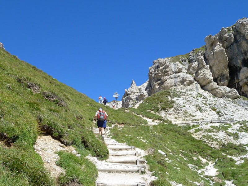
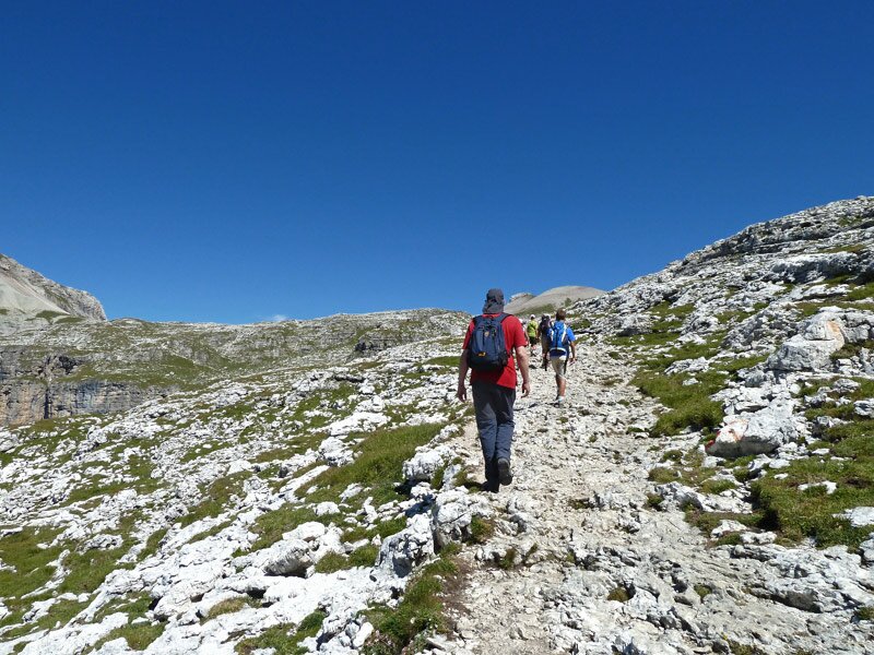
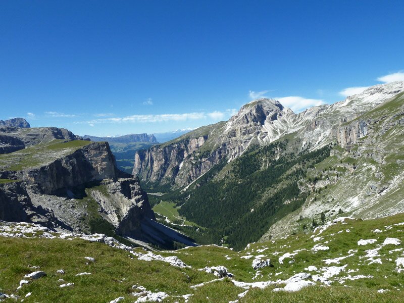
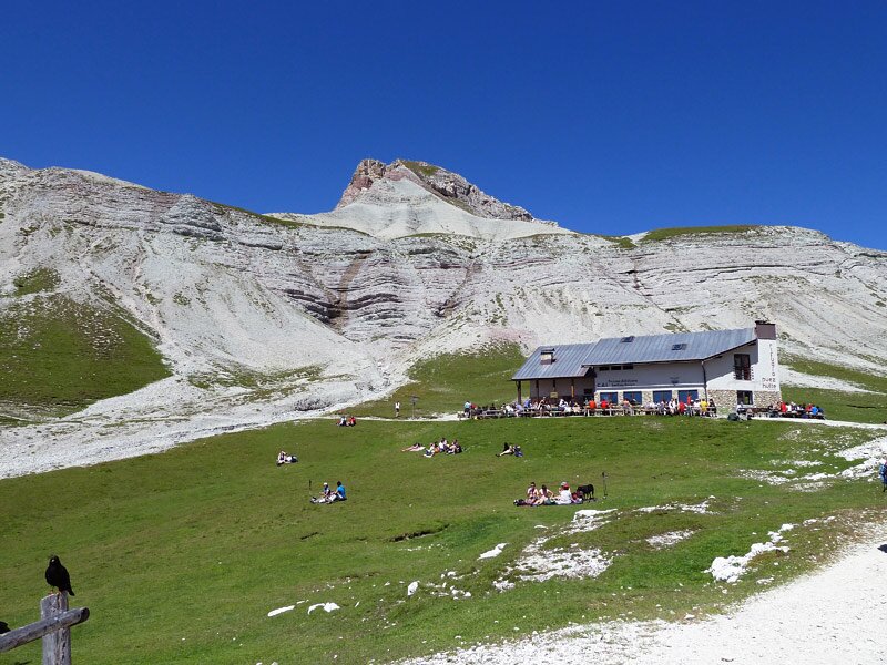
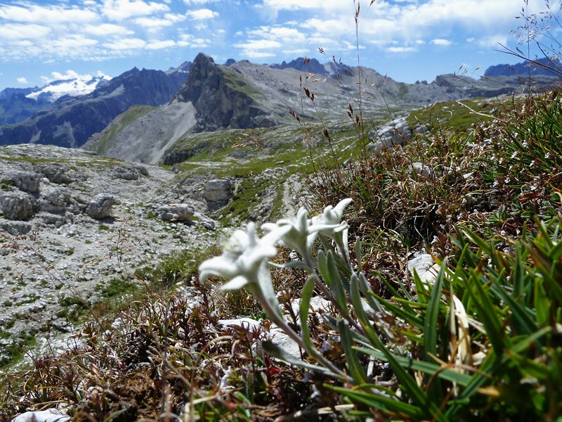
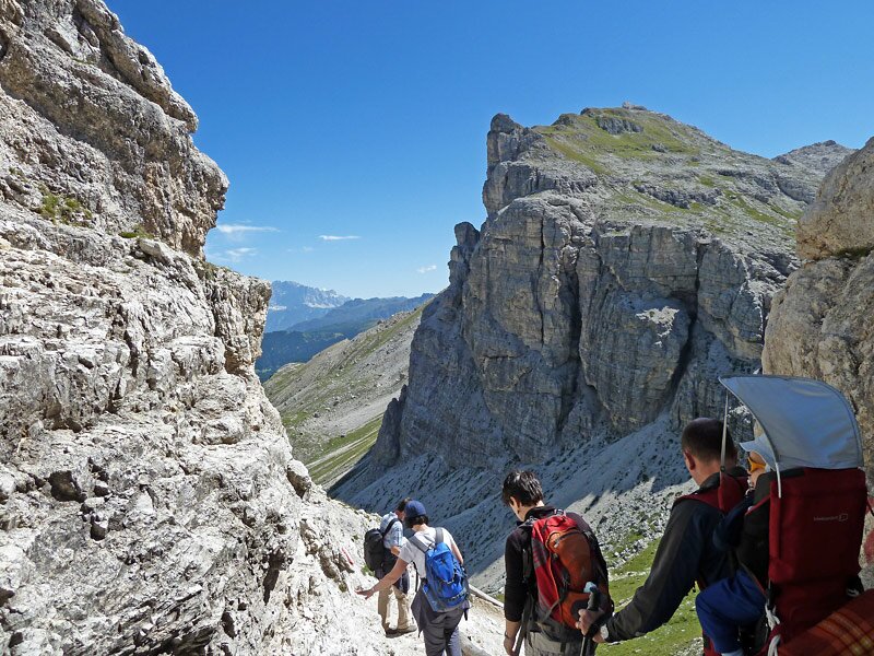
First, the path descends for 100 metres. It then climbs steadily, with the incline gradually increasing. Soon, our trail joins path no. 4, which leads up from Colfosco through the Edelweiss Valley. The route becomes narrower and slightly rougher, with the walls of the Sasso Ciampac on the left and the Sassongher on the right. Passing the somewhat dry Lake Ciampac, the path climbs to the Forcella Ciampëi, which opens up a view into the Vallunga valley. The main climb is now behind us, and we continue comfortably to the right along path no. 2 to the Puez Hut.
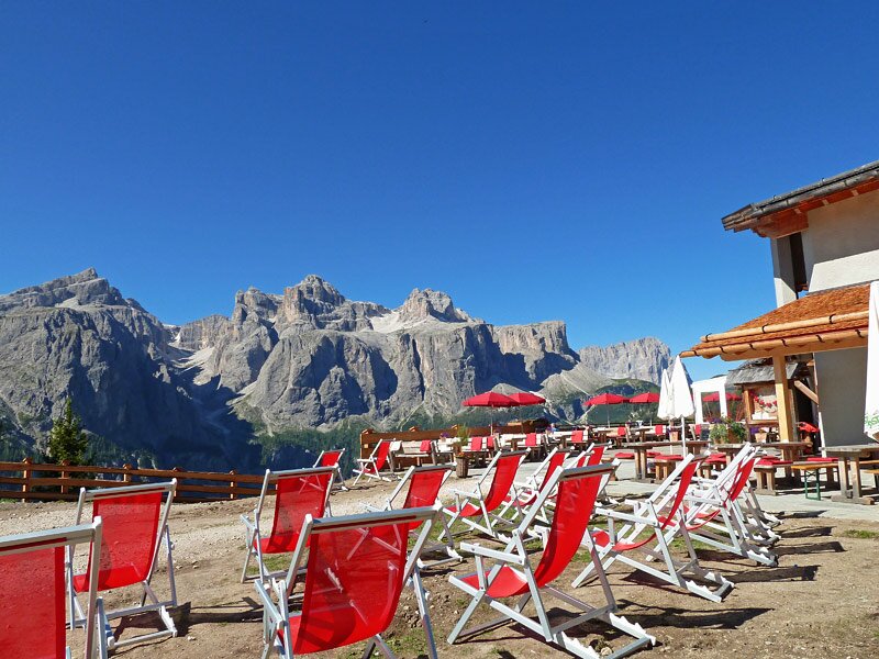
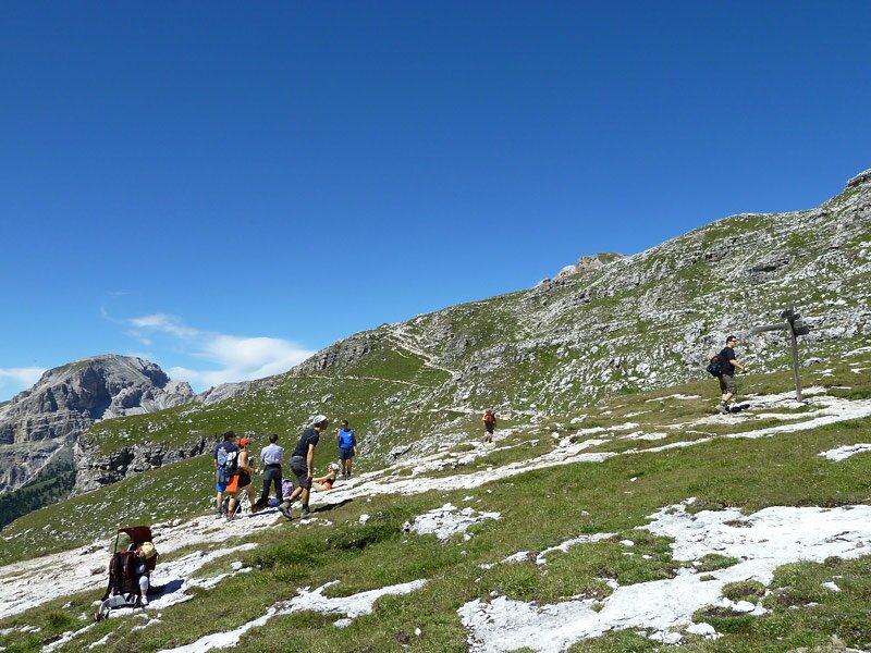
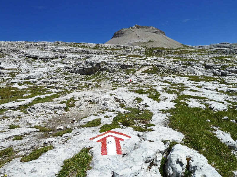
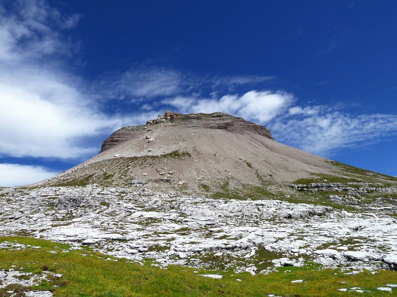
When we reach it, we have been walking for almost two hours. It is time for something to eat, and the mountain hut is exactly what we need. On the way up, we noticed an unusual hill, the Col de la Sone. We want to take a closer look at it, so we make a detour there on the way back, crossing the vast expanses of the Gardenaccia plateau following the path no. 5.
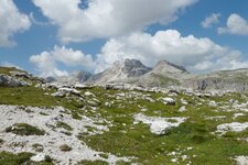
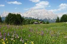
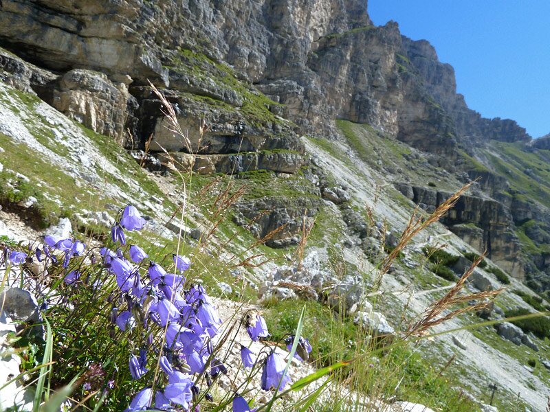
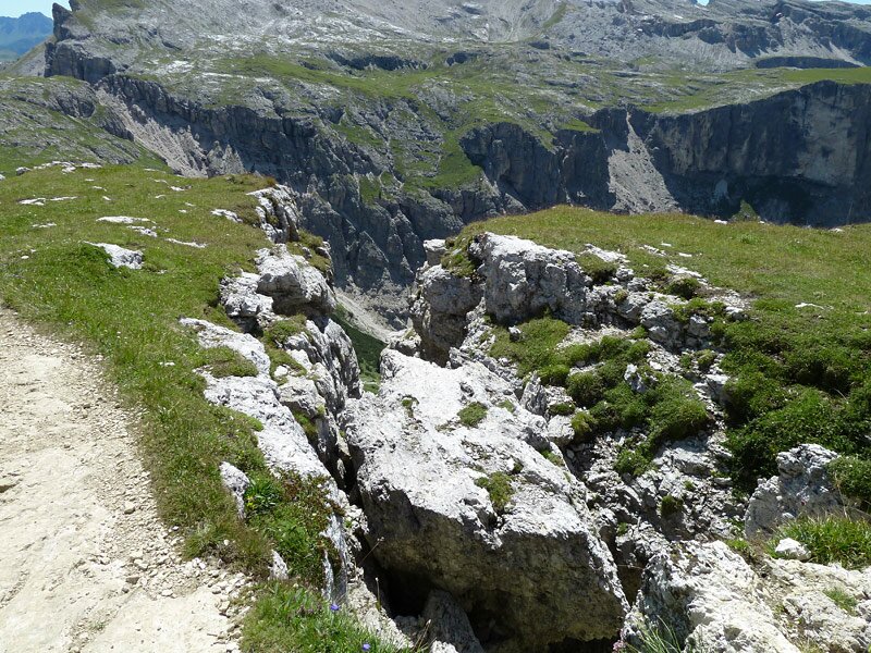
The lunar landscape at an altitude of 2,500 metres, the delicate alpine flowers, and the striking panorama of the Dolomites make this hike a great experience, particularly with the beautiful weather we enjoyed on this August day.
Author: AT
Experienced: August 2021
Last updated: 2026
-
- Starting point:
- Colfosco, Col Pradat mountain station
-
- Overall time:
- 04:15 h
-
- Total route length:
- 12,4 km
-
- Altitude:
- from 1.992 m to 2.506 m
-
- Altitude difference (uphill | downhill):
- +610 m | -610 m
-
- Signposts:
- no. 4A, 4, 2, 15, 4, 2
-
- Destination:
- Puez Mountain Hut
-
- Resting points:
- Puez Mountain Hut (June to September/October)
-
- Recommended time of year:
- Jan Feb Mar Apr May Jun Jul Aug Sep Oct Nov Dec
-
- Download GPX track:
- Hike from the Col Pradat to the Rifugio Puez
-
- More information:
- The total time indicated above refers to the walking time only, excluding breaks.
If you want to undertake this hike, we recommend checking the weather and trail conditions in advance and on site before starting this hike!