Anyone aiming for the “easiest three-thousander in the Dolomites” from Corvara can certainly work up a sweat
Image gallery: Mountain tour to the Piz Boé
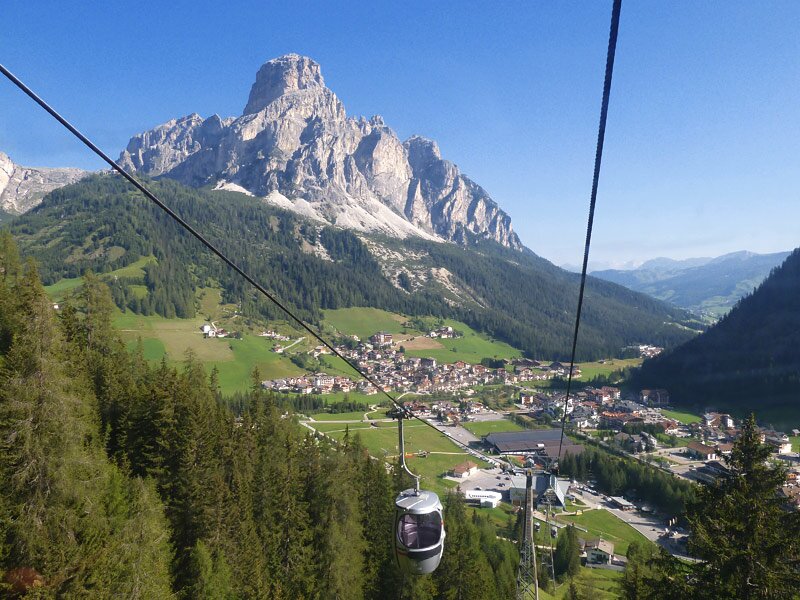
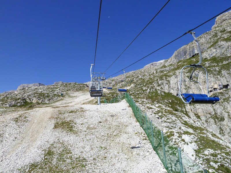

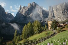
At 3,152 metres high, Mt. Piz Boè is considered one of the easiest three-thousanders. We decide to climb it on a hot August day. Starting from Corvara, we first take the Boè Cable Car up to 2,200 metres above sea level, followed by the Vallon chairlift to an altitude of 2,500 metres.
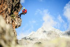
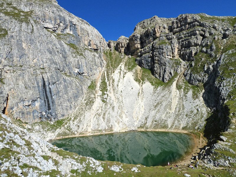
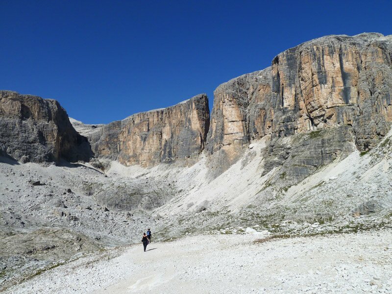
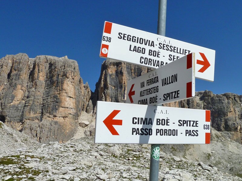
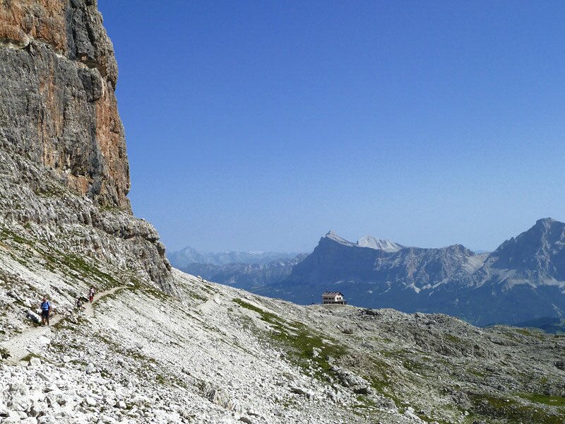
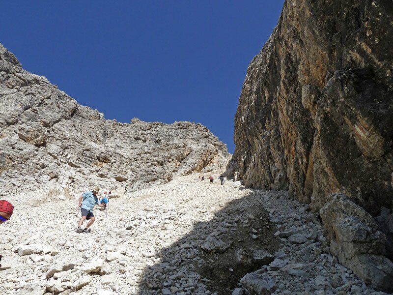
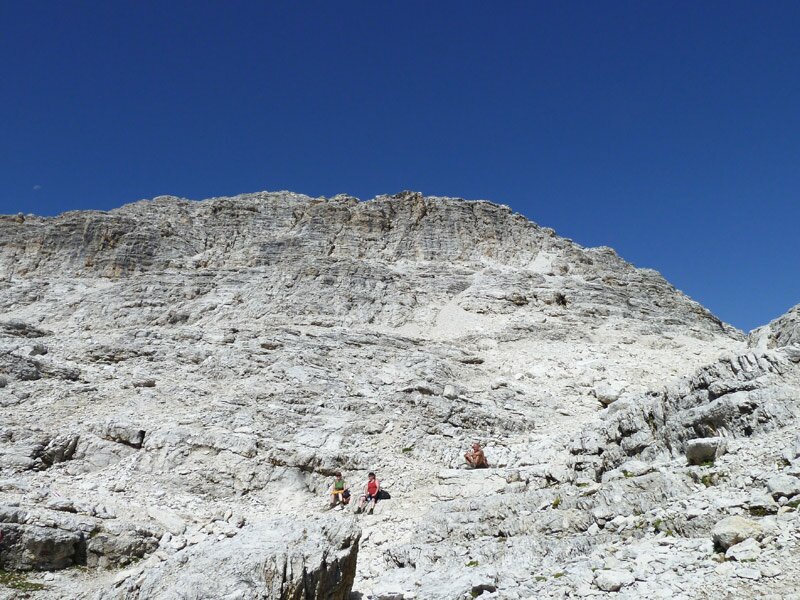
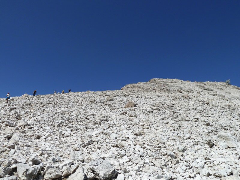
We now find ourselves in the rocky wasteland below the crags of the Sella Group and head south-west along path no. 638, passing the Ütia Franz Kostner al Valun (Ütia, in Ladin, means hut). The trail leads around the rocks with a gentle incline until it suddenly climbs steeply up a slippery scree slope. Without climbing equipment, this section requires concentration to master, assuming sure-footedness and experience - after all, it is classified as a difficult alpine trail.
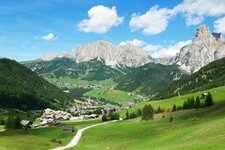
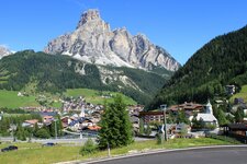
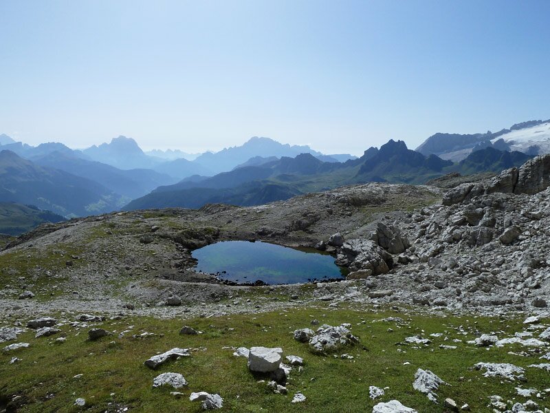
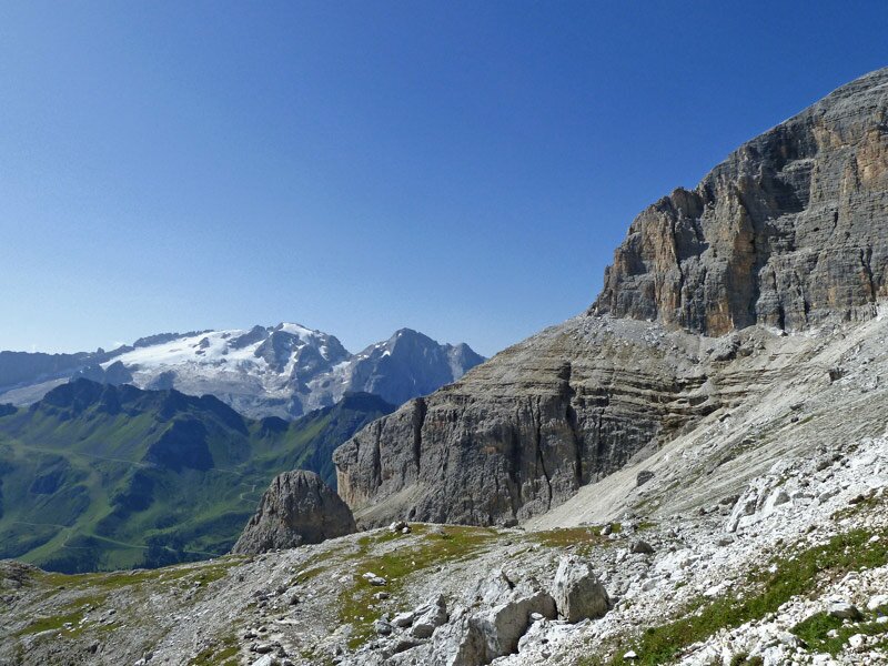
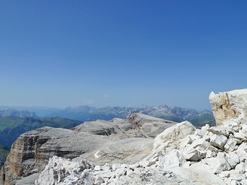
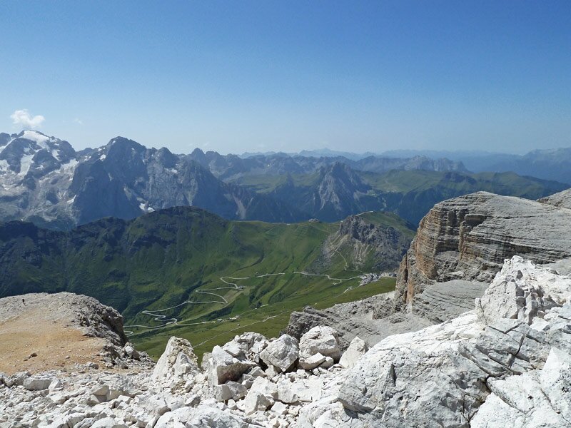
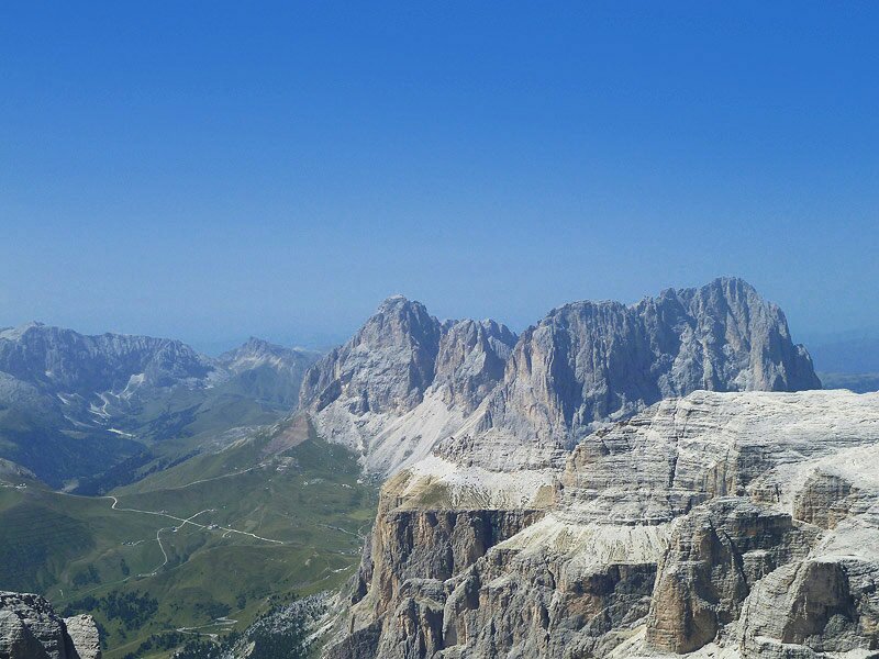
The route then continues upwards through more stable terrain. The ever-changing panorama that opens up to us along the way provides great photo opportunities of the Dolomites between Badia, Alleghe, Fassa, and the Alpe di Siusi. The Fanes peaks, the icy Punta Penia of the Marmolada, the Catinaccio, and the Sassolungo are all visible, to name just a few.
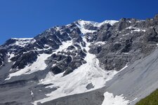
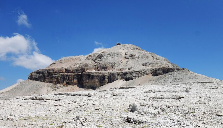
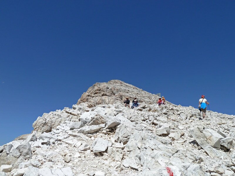
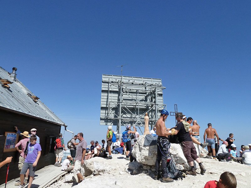
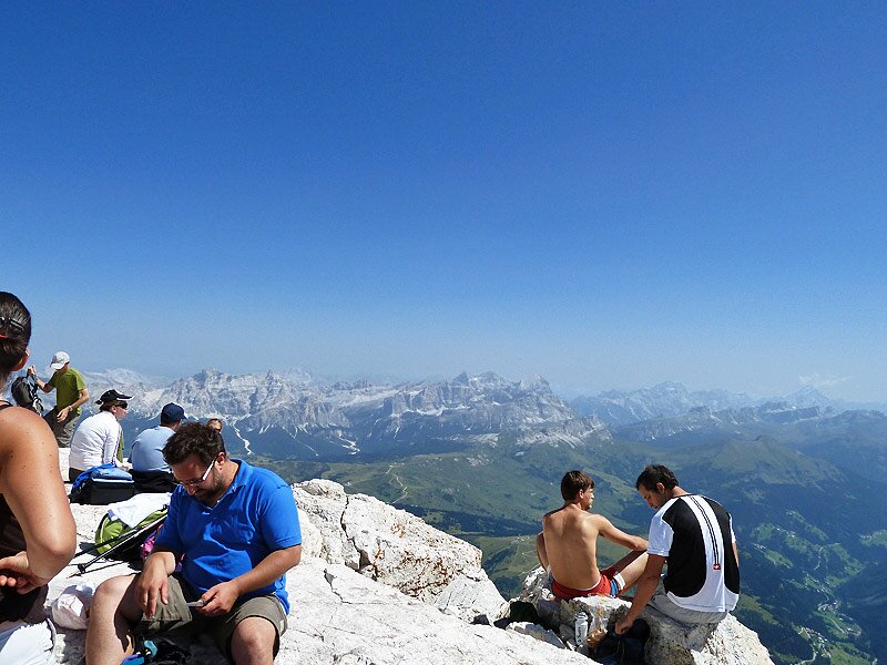
We hike for just under two and a half hours before reaching the summit. There, squeezed into a few square metres, are the summit cross, the Capanna Piz Fassa, a helicopter landing pad, and several dozen peak baggers, all delighted to have made it to the top. We look out over the entire Sella massif towards the Odle peaks before beginning our descent.
Incidentally, there are several other paths up here, such as no. 672 (also leading to Vallon) or the (easier) trails to Sass Pordoi, where a cable car departs for the Passo Pordoi.
Author: AT
Experienced: August 2012
Last updated: 2026
-
- Starting point:
- Vallon mountain station (reachable with the Boè Cable Car from Corvara)
-
- Overall time:
- 03:30 h
-
- Total route length:
- 16,9 km
-
- Altitude:
- from 2.497 m to 3.152 m
-
- Altitude difference (uphill | downhill):
- +851 m | -851 m
-
- Signposts:
- no. 638
-
- Destination:
- Piz Boé
-
- Resting points:
- Ütia Franz Kostner, Capanna Piz Fassa (both from June to September/October)
-
- Recommended time of year:
- Jan Feb Mar Apr May Jun Jul Aug Sep Oct Nov Dec
-
- Download GPX track:
- Mountain tour to the Piz Boé
-
- More information:
- The total time indicated above refers to the walking time only, excluding breaks.
We highly recommend checking the weather and trail conditions in advance and on site before starting this tour.