An excursion into the high mountains of the Val Senales valley, to the Giogo Tasca at 2,771 m a.s.l. and the Black Lake - and a visit to the rustic Bergl Mountain Hut at the end of the tour
Image gallery: Mountain tour to the Giogo Tasca
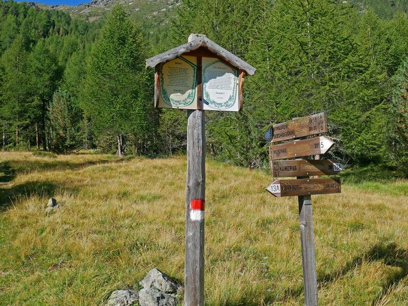
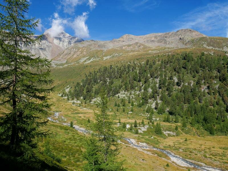

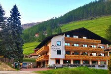
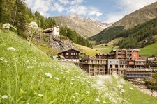
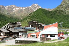
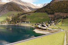
About 1,000 m in altitude we have to manage during this hike in the Val Senales valley where we will experience different high alpine landscapes. Our starting point is the parking space at the Masi del Cóvolo farms (Köflhöfe) shortly before the village of Maso Corto, at the head of the valley.
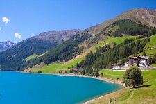
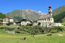
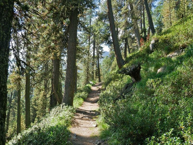
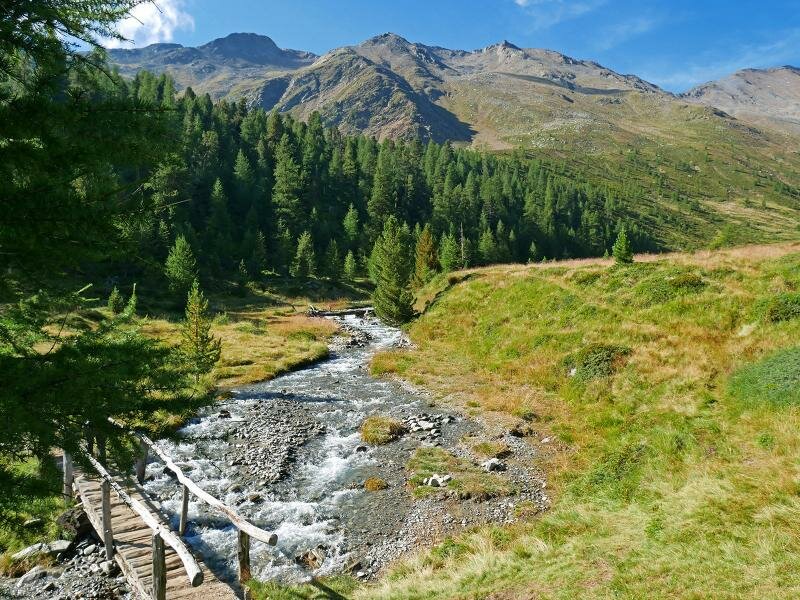
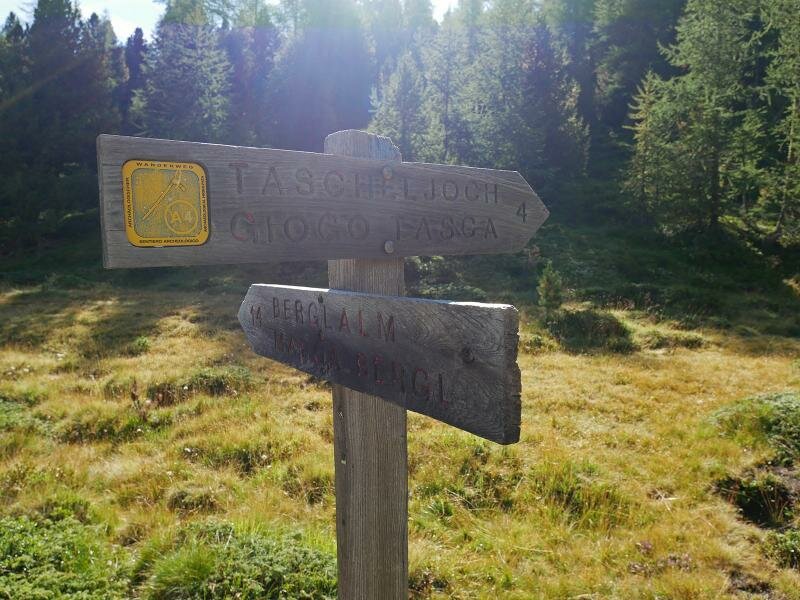
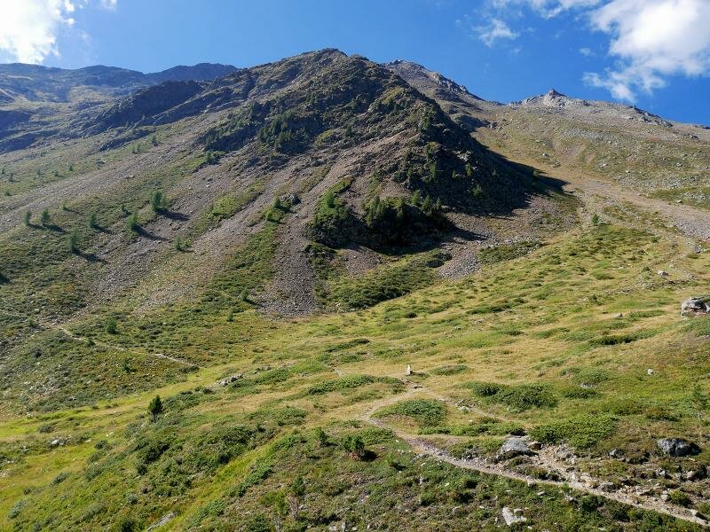
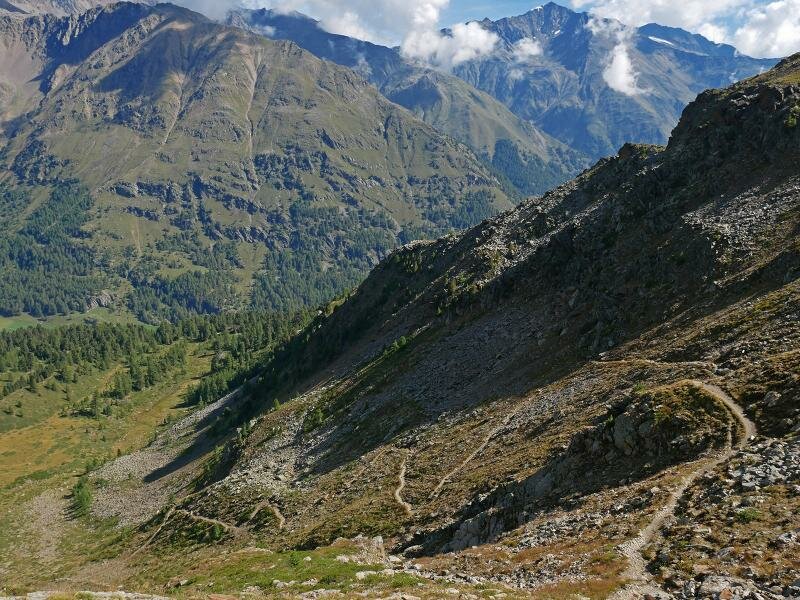
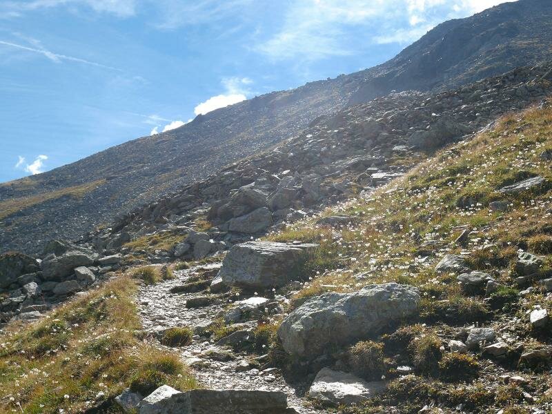
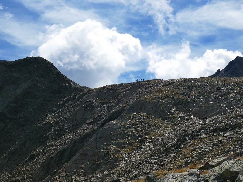
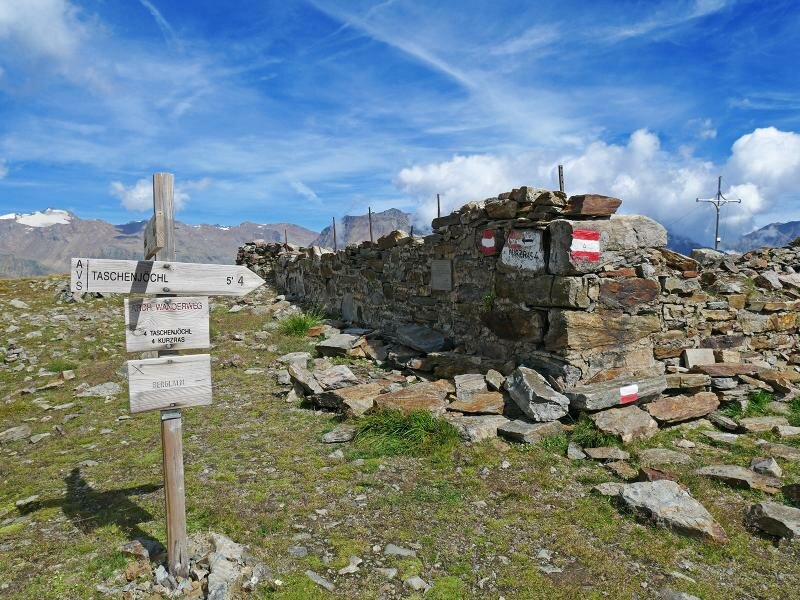
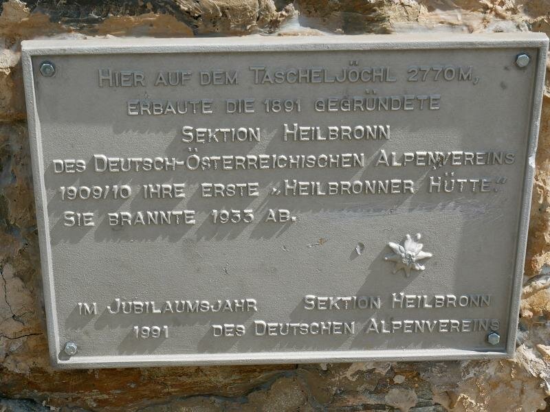
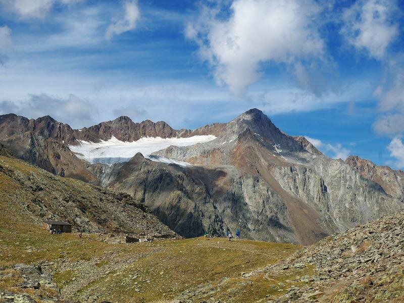
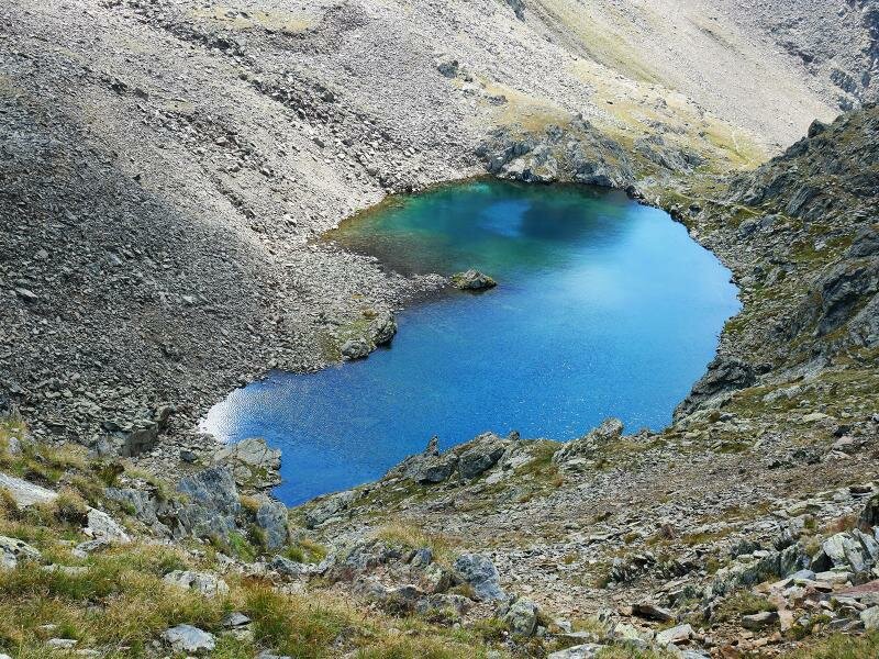
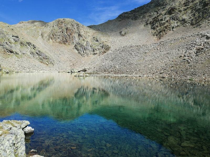
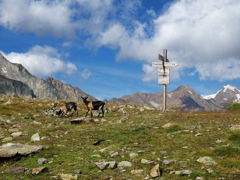
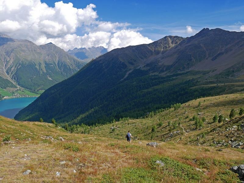
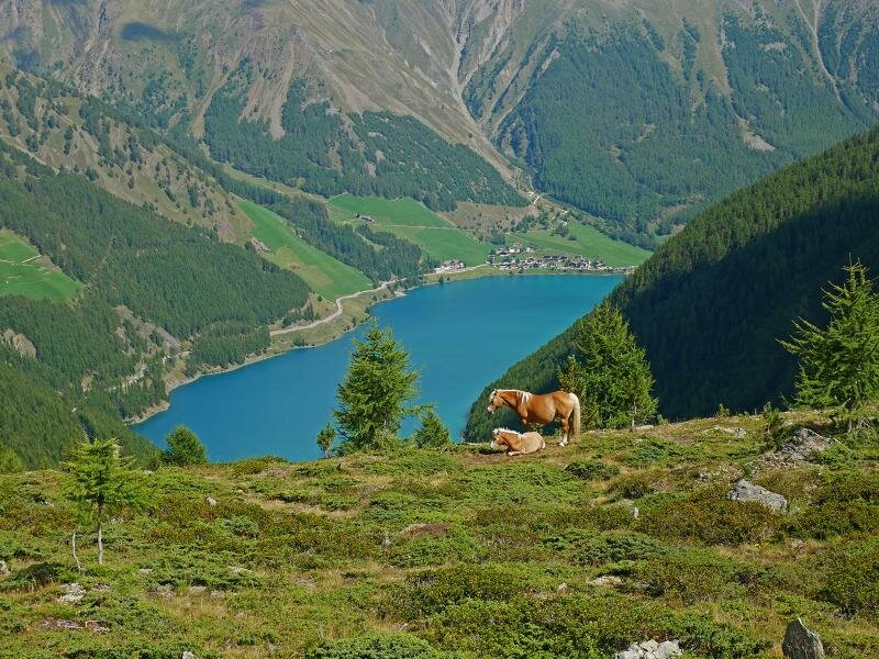
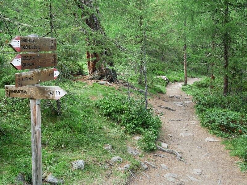
Here we follow the path no. 5 which proceeds constantly uphill along the forested slope until we have reached the Valle di Lagaun valley. Right after the bridge across the Lagaun Creek we follow the path to the Giogo Tasca ridge ((Taschenjöchl or Taschljöchl, markers 4 and A4) which proceeds steeply uphill along the rocky slope above the timberline. Curve for curve the path leads us up to more than 2,700 m a.s.l., to the cross near the Giogo Tasca summit, where still remains of the Heilbronn Mountain Hut can be found, destroyed by a fire in 1933. We enjoy a 360 degree view on the Lagaun Glacier, Mt. Palla Bianca, Mt. Punta di Finale, Lake Vernago, the mighty Tessa Group and the southern Saldura Group. Straight below us, a little mountain lake is situated, called Lake Nero (Schwarze Lacke). About 100 m in altitude we have to climb down to reach the lake.
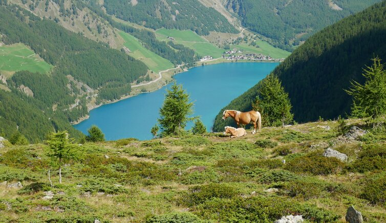
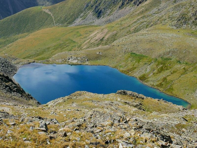
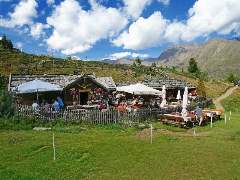
We wonder, why the lake is called "Black Lake" because it sparkles blue and turquoise. From a crest we can also watch the back Val Silandro valley where Lake Còrzes is located. Now we hike back to the Giogo Tasca and follow path no. 5 downhill to the Bergl Mountain Hut (Bergl Alm), a very nice and rustic hut, where we take a rest and enjoy local delicacies. Always following path no. 5 we come back to the parking space again, our starting point.
Author: AT
-
- Starting point:
- Maso Corto (Kofl Höfe)
-
- Overall time:
- 05:00 h
-
- Total route length:
- 11,9 km
-
- Altitude:
- from 1.939 m to 2.781 m
-
- Altitude difference:
- +919 m | -919 m
-
- Signposts:
- 5, 4, 5
-
- Destination:
- Taschenjöchl/Giogo Tasca, Bergl Alm
-
- Resting points:
- Bergl Alm
-
- Recommended time of year:
- Jan Feb Mar Apr May Jun Jul Aug Sep Oct Nov Dec
-
- Download GPX track:
- Mountain tour to the Giogo Tasca
If you want to do this hike, we suggest you to check the weather and trail conditions in advance and on site before setting out.