Not just for geologists, the Geologists’ Trail features interesting stations with plenty of information
Image gallery: Hike on the Geologists’ Trail
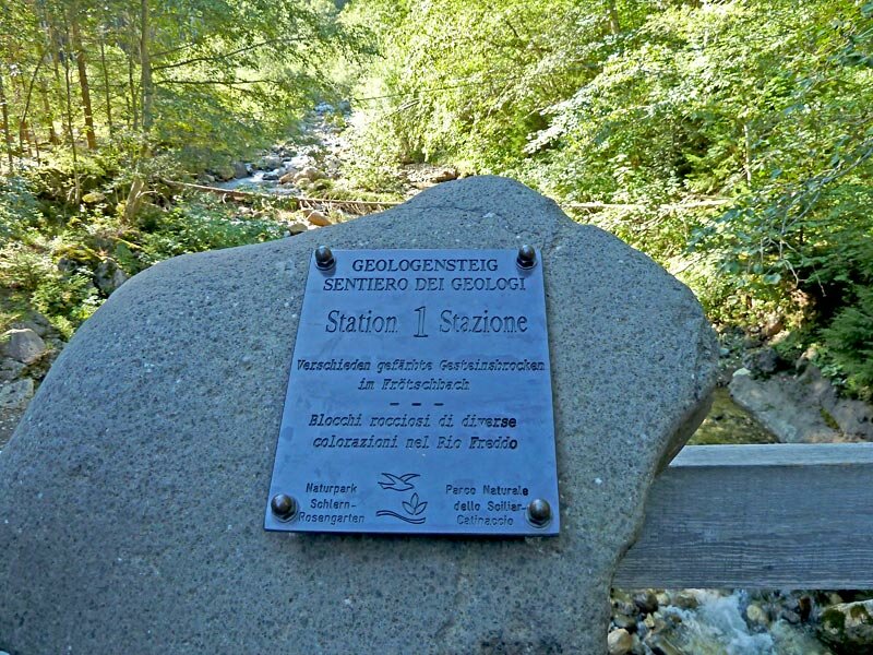
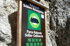
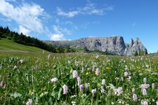
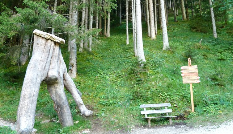
Redesigned several years ago, the Geologists' Trail connects Bagni di Ratzes, situated at an altitude of 1,210 metres near Siusi allo Sciliar, with the Prossliner Schwaige Hut. The latter is an alpine hut on the western edge of the Alpe di Siusi, a protected landscape area. The South Tyrolean Office for Nature Parks has equipped the hiking trail with information boards at ten locations.
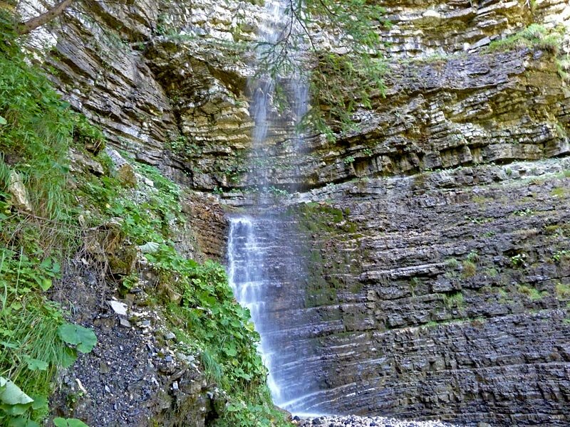
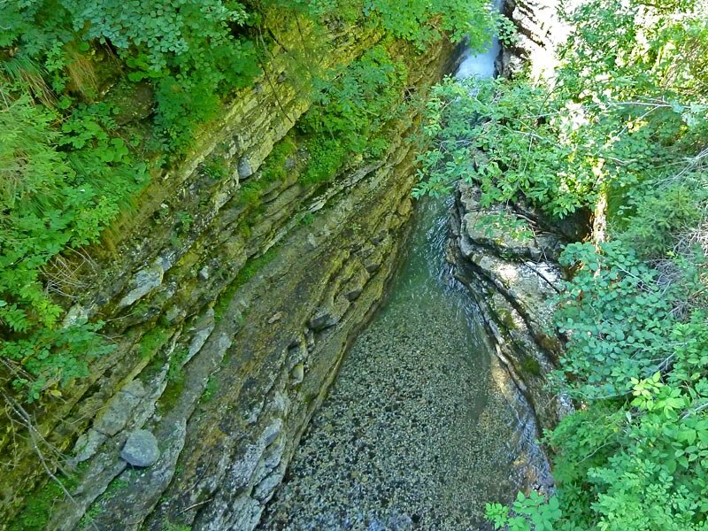
These boards detail the various rock layers that are particularly visible there. The nature trail leads along the Rio Freddo stream. Starting from the eastern part of the Sciliar-Catinaccio Nature Park, this watercourse has carved deep into the terrain. In doing so, it has exposed the different rock layers. Now for the hike itself. Starting from Bagni di Ratzes, the path crosses the Rio Freddo via a bridge and follows trail numbers 1 and 1A.
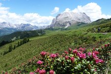
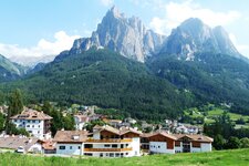
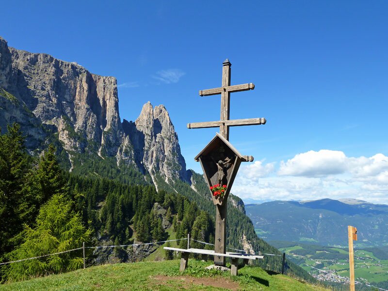
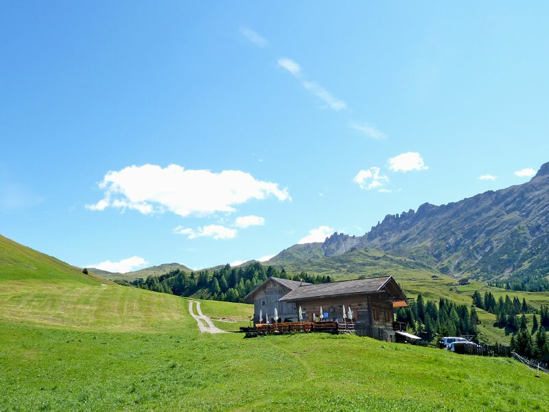
A hikers' car park and a bus service from Siusi are available at the start. The route heads towards the Prossliner Schwaige Hut. We pass waterfalls and walk through the wild gorge. Upon reaching our destination at the mountain hut, we are at an altitude of approximately 1,740 metres on the edge of the Alpe di Siusi meadows. From here, we enjoy a pleasant view over Siusi and the Sciliar.
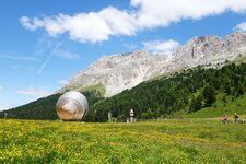
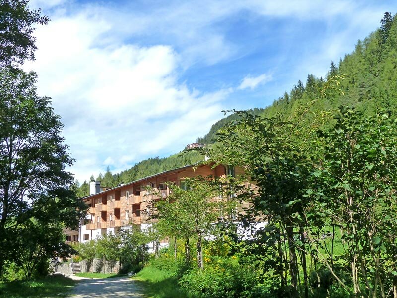
Those looking for an alternative return route can walk back to Siusi from the Prossliner Schwaige via the Spitzbühel and Compatsch, a hotel settlement on the Alpe di Siusi. Alternatively, it is possible to descend to the right via the Malghetta Sciliar Hut back to Bagni di Ratzes on trail no. 1.
Author: AT
Experienced: August 2010
Last updated: 2026
-
- Starting point:
- Bagni di Ratzes near Siusi allo Sciliar
-
- Overall time:
- 02:40 h
-
- Total route length:
- 6,9 km
-
- Altitude:
- from 1.210 m to 1.741 m
-
- Altitude difference (uphill | downhill):
- +531 m | -531 m
-
- Route:
- Geologensteig, or Sentiero dei Geologi
-
- Signposts:
- no. 1, 1A
-
- Destination:
- Prossliner Schwaige Hut (1,740 m a.s.l.)
-
- Resting points:
- Prossliner Schwaige Hut (May to October)
-
- Recommended time of year:
- Jan Feb Mar Apr May Jun Jul Aug Sep Oct Nov Dec
-
- Download GPX track:
- Hike on the Geologists’ Trail
-
- More information:
- The overall time shown above refers to the walking time only, not including breaks or stops.
If you want to undertake this hike, we recommend checking the weather and trail conditions in advance and on site before starting this hike!