A wonderful hiking tour in the Dolomites starting and ending in Santa Cristina: The Stevia Hut is located at 2,322 metres a.s.l
Image gallery: Hike to the Rifugio Stevia mountain hut
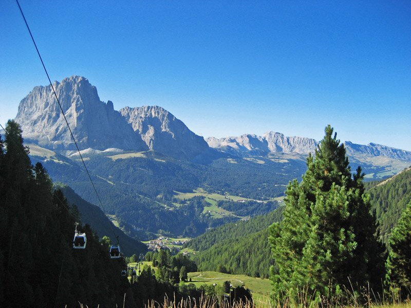
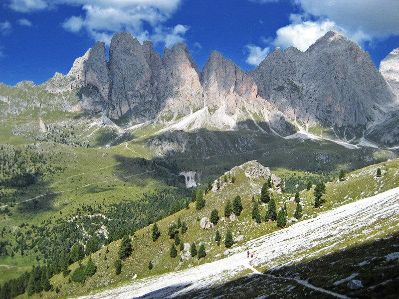
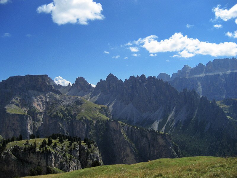
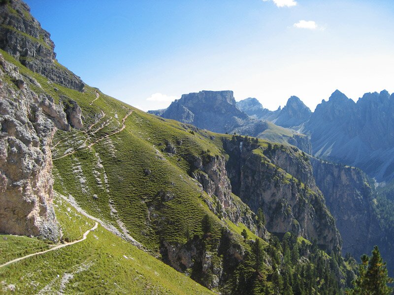
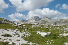
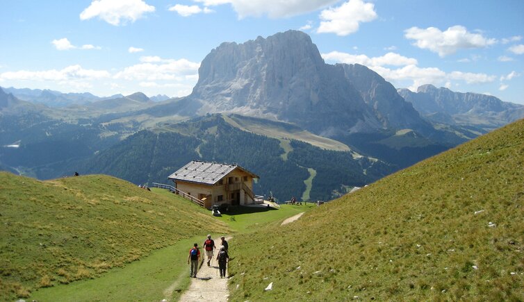
This hike from Santa Cristina Valgardena to the Stevia Hut requires a fair amount of stamina and is only suitable for experienced mountain hikers. The destination, the hut on the Stevia mountain pasture, provides a wonderful panorama from the Sella massif to the Sassolungo Group, with the Val Gardena valley stretching out below. The hike begins in Santa Cristina, at the valley station of the Col Raiser Cable Car. From here, the gondola takes us up to an altitude of 2,017 metres a.s.l.
First, we follow trail marker no. 4 to the right and slightly downhill. The path leads us directly to the Firenze in Cisles Hut at 2,037 metres above sea level. We continue our hike on trail no. 1/3 and reach a junction in just a few minutes. Here, we follow the signs for trail 17B.
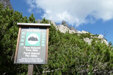
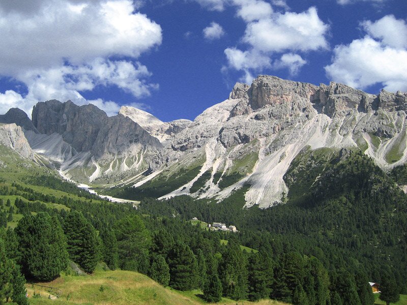
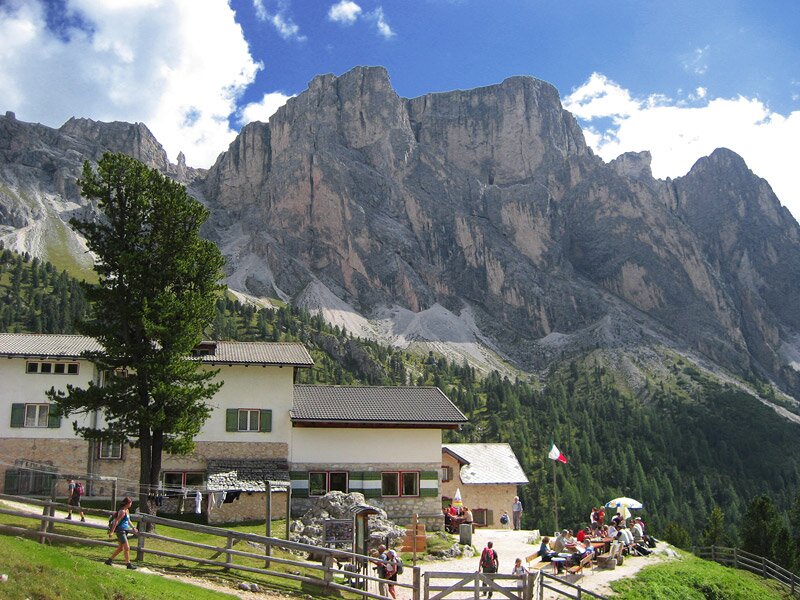
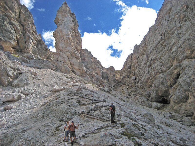
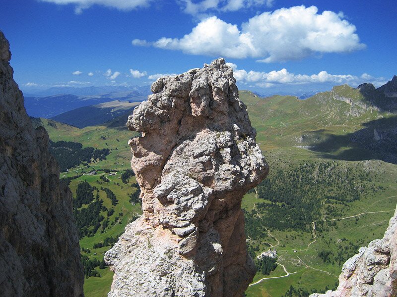
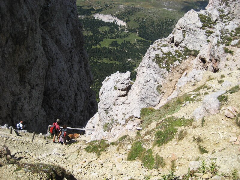
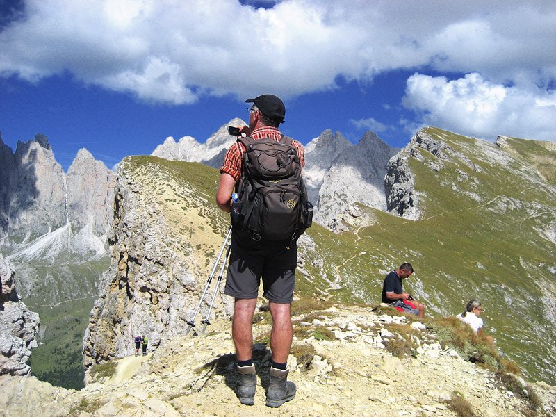
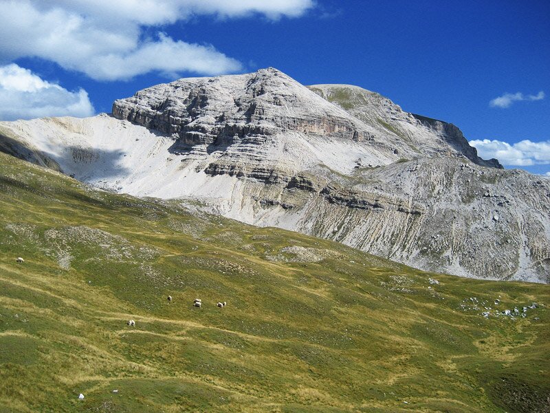
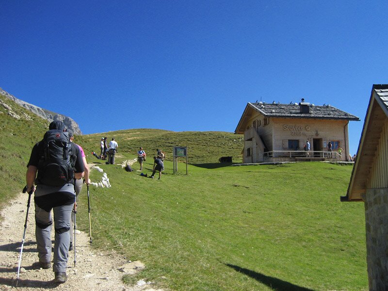
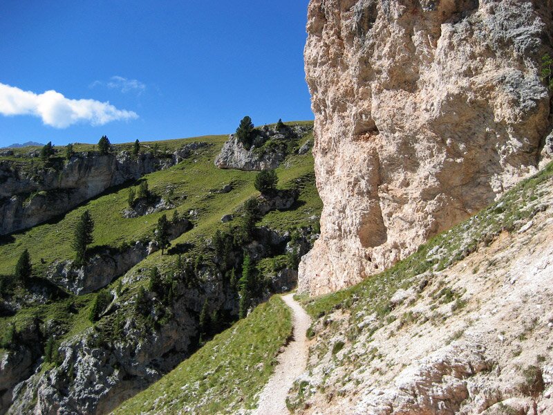
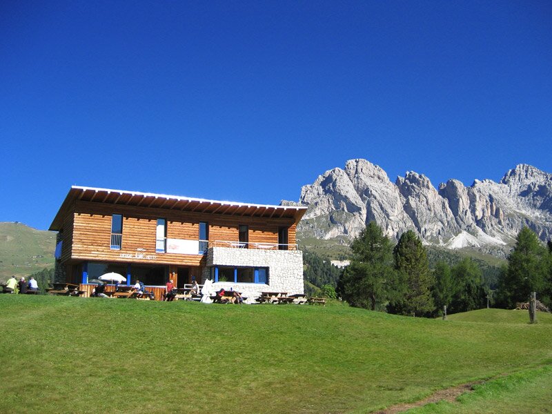
We now hike steeply up the slope in a zigzag pattern. Hand ropes make the ascent easier in a few places. Once we arrive at the Forcella Piza ridge, we find ourselves at around 2,490 metres above sea level and enjoy the wonderful views of the surrounding mountains. Now, we continue on trail no. 17, heading south across stony grassy slopes. Following a slight descent, we finally reach the Stevia Hut, known as Ütia de Stevia in Ladin. It stands at an altitude of 2,322 metres, right in the middle of the Puez Group in the Puez-Odle Nature Park.
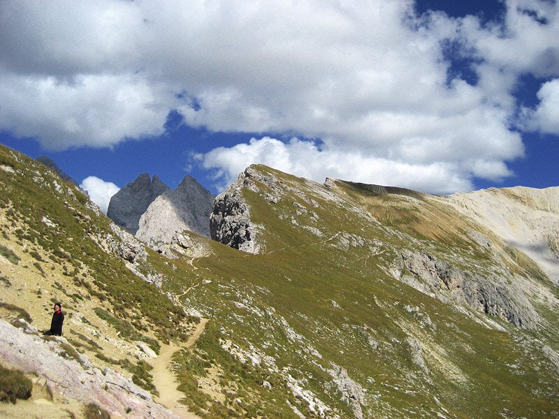
For the return journey, we set off again on trail no. 17. After a slight descent and ascent, we reach the Forcella San Silvestro ridge, from where we cross rocky terrain and pass through a forest to reach the Juac Hut. From here, we follow the wide hiking trail down into the valley.
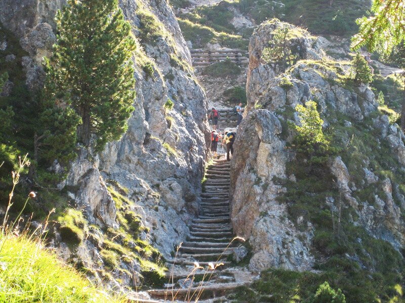
Finally, after a four-hour tour, we arrive back at the valley station of the Col Raiser Cable Car in Santa Cristina Valgardena. Some of the hiking trails are very steep and exposed. Sure-footedness and non-slip shoes are absolutely essential for this alpine tour.
Author: AT
Experienced: September 2012
Last updated: 2026
-
- Starting point:
- valley station Col Raiser Cable Car, Santa Cristina
-
- Overall time:
- 04:00 h
-
- Total route length:
- 10,3 km
-
- Altitude:
- from 1.541 m to 2.500 m
-
- Altitude difference (uphill | downhill):
- +579 m | -1141 m
-
- Signposts:
- no. 4, 17B, 17, 3, 1
-
- Destination:
- Stevia Mountain Hut (2,312 m a.s.l.)
-
- Resting points:
- Firenze in Cisles Hut, Stevia Hut (both from June to September), Juac Hut, Sangon Hut (both from June to October)
-
- Recommended time of year:
- Jan Feb Mar Apr May Jun Jul Aug Sep Oct Nov Dec
-
- Download GPX track:
- Hike to the Rifugio Stevia mountain hut
-
- More information:
- The overall time shown above refers to the walking time only, not including breaks or stops. We use the Col Raiser Cable Car for the ascent, but we skip it for the descent (which explains the big difference in uphill and downhill metres).
If you want to undertake this hike, we recommend checking the weather and trail conditions in advance and on site before starting this hike!