Tracing the history of the earth: the fault lines in the rock layers between Bulla and the Passo Pinei
Image gallery: Hike on the Geotrail Bulla

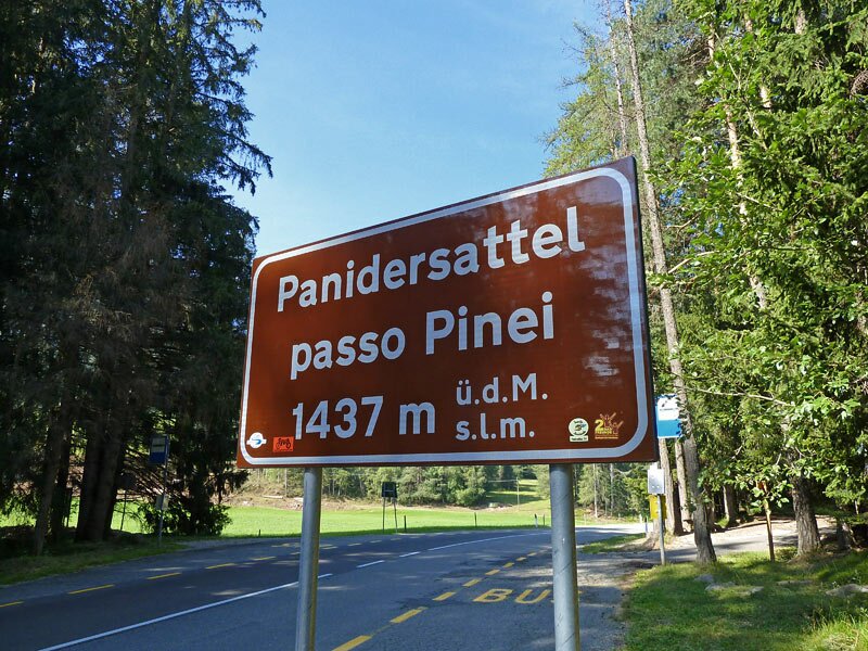

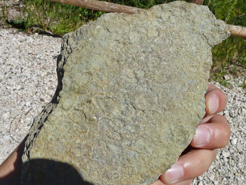
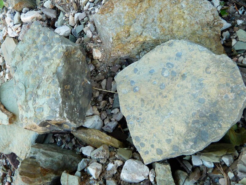
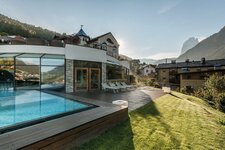
The Geotrail Bulla provides insights into past worlds. The walking route above Roncadizza near Ortisei presents many opportunities to learn about the formation of the Val Gardena landscape and the Dolomites. It also explains the rock layers and the fossil imprints found within them. The hike starts at the Passo Pinei (Panider Sattel) on the road from the Val Gardena to Castelrotto.
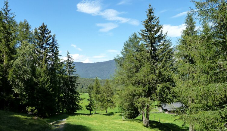
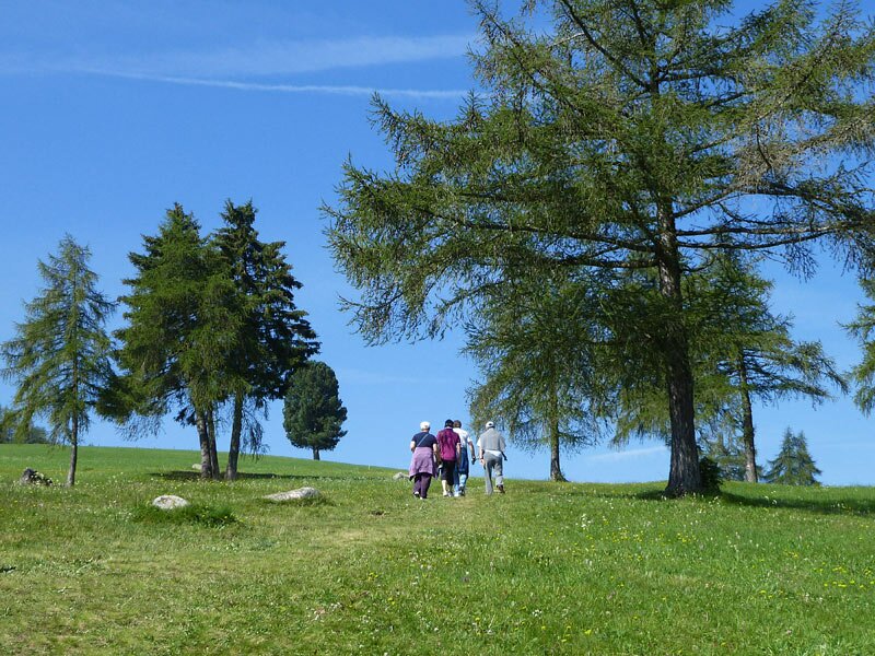
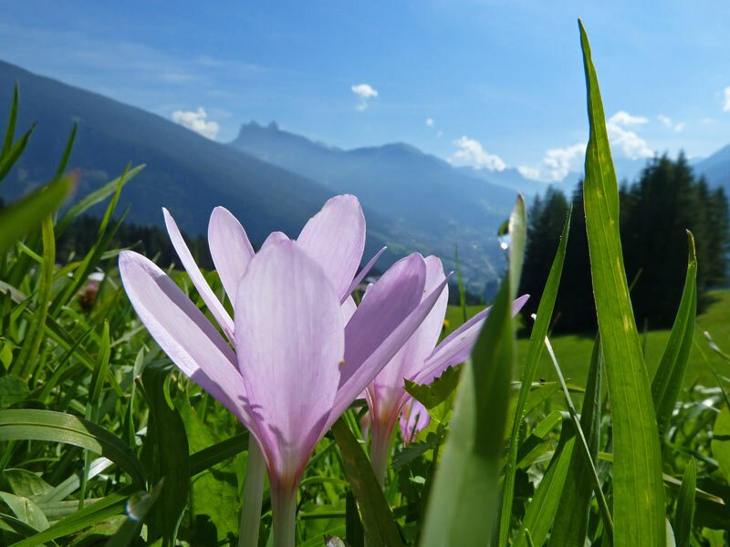
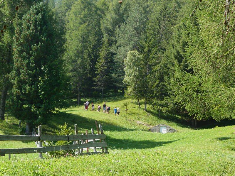
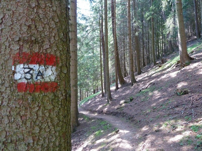
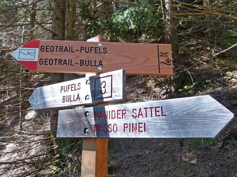
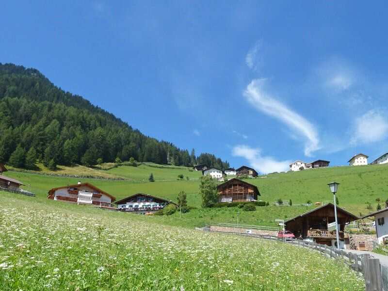
Walking past the Hotel Passo Pinei, we follow trail no. 3A towards Bulla. Flowering meadows with scattered larches and stone pines await us on this first section of the path. The narrow trail climbs slightly through the forest (no. 3A) until the "Geotrail" signpost points down to the left.
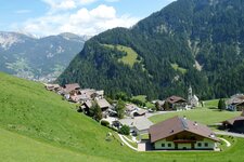
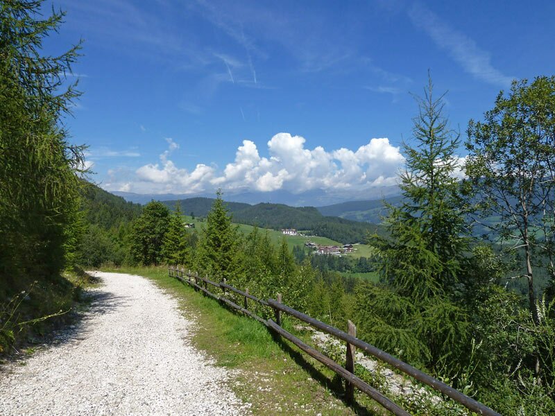
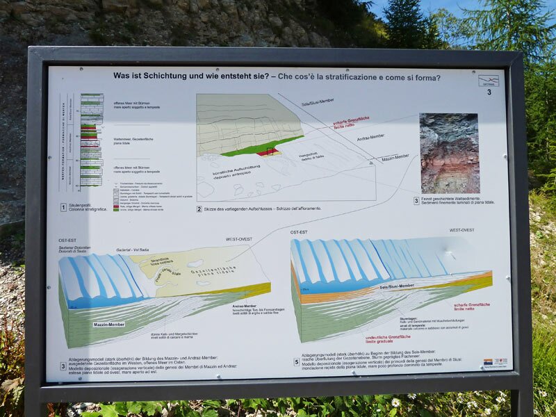
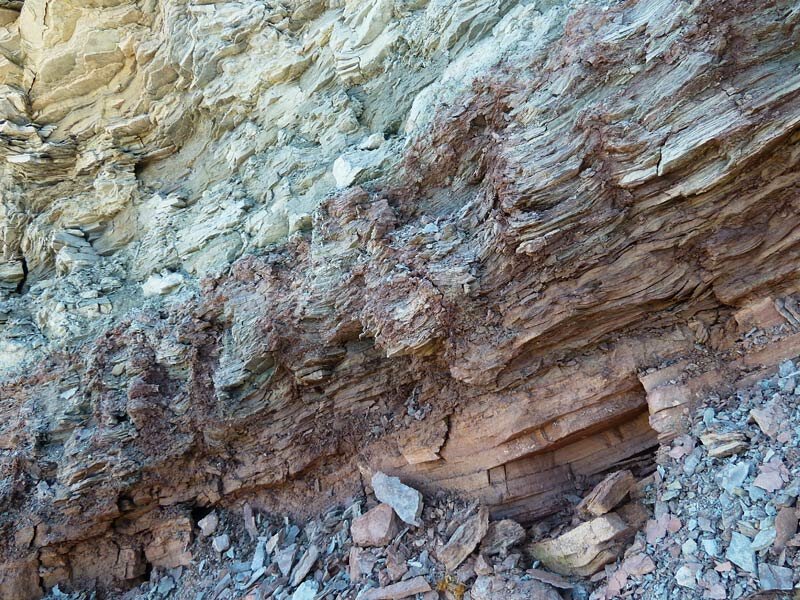
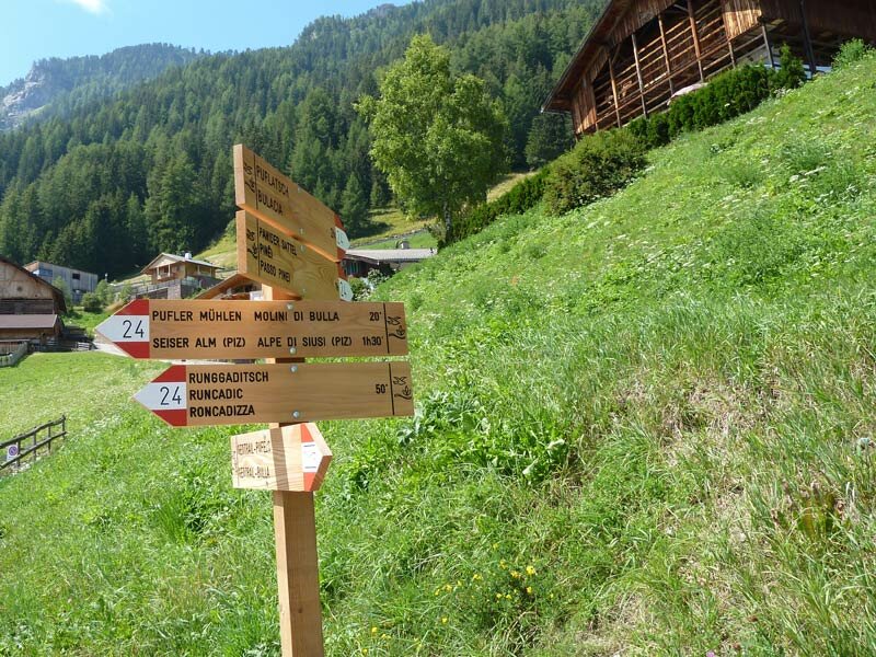
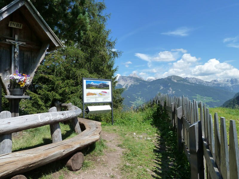
The path soon joins a forest road. This is where the well-maintained panoramic route, the actual Geotrail, begins. Information boards along the educational trail regularly tell us about the 252-million-year formation history of the Dolomites. They also explain the visible geological layers. After a bend, we can already see the hamlet of Bulla. There, the path joins the local road network. From Bulla, we head uphill across the meadows on the western slope (nos. 24 and 3A).
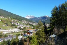
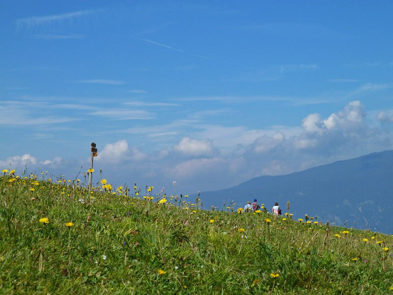
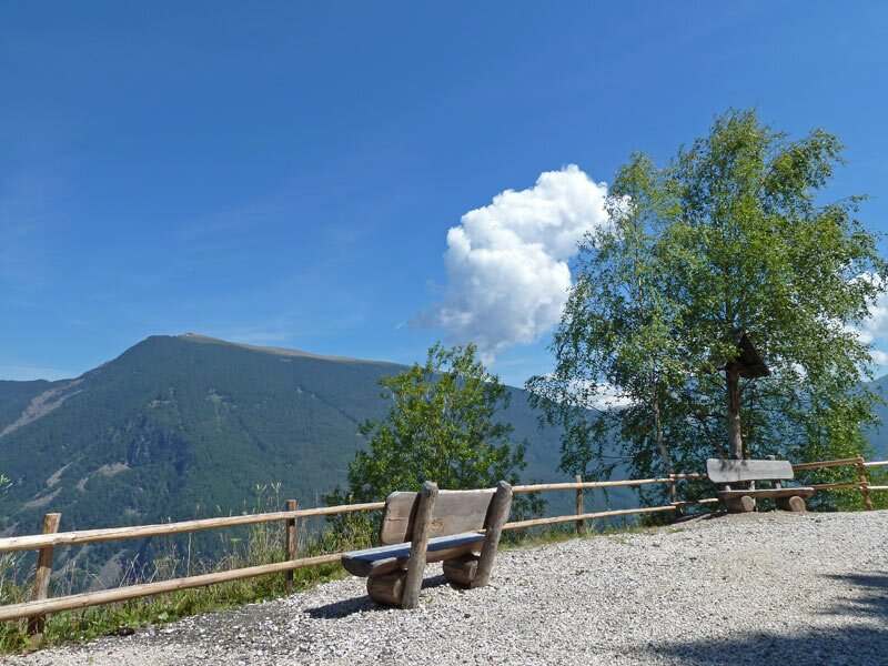
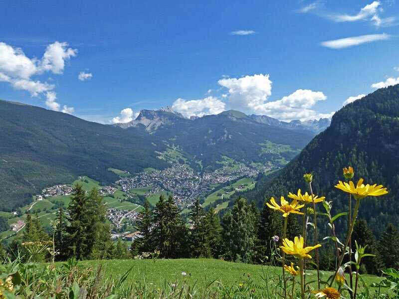
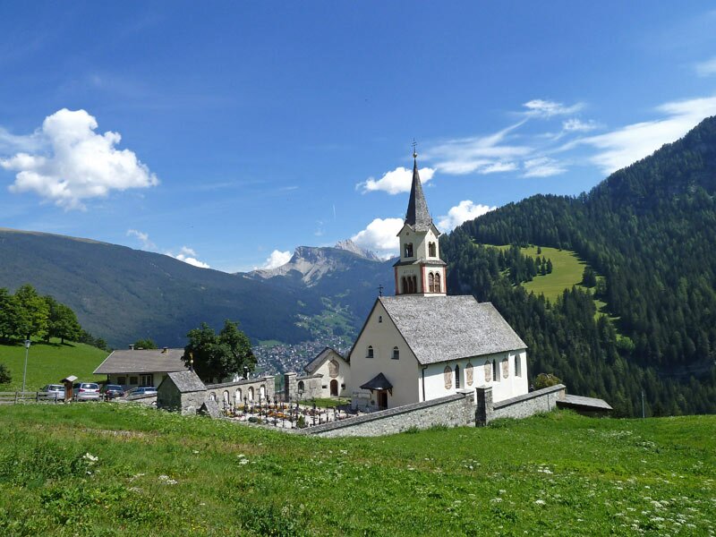
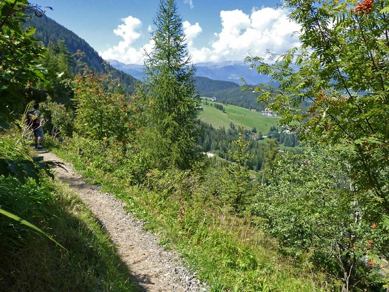
We walk past beautiful old farmhouses until we reach Col da Locia. The Geotrail now leads back to the Passo Pinei, running parallel to the outward journey but slightly higher up the mountain. The sweeping view over the Val Gardena with Ortisei, the Seceda and the Odle mountains is a highlight of the tour. This walk brings us back to the Passo Pinei after two and a half hours.
Author: AT
Experienced: August 2011
Last updated: 2026
-
- Starting point:
- Passo Pinei (1,447 m a.s.l.)
-
- Overall time:
- 02:30 h
-
- Total route length:
- 7,5 km
-
- Altitude:
- from 1.447 m to 1.606 m
-
- Altitude difference (uphill | downhill):
- +322 m | -322 m
-
- Signposts:
- no. 3A, "Geotrail Bulla", 24
-
- Destination:
- hamlet of Bulla (1,480 m a.s.l.)
-
- Resting points:
- Hotel Restaurant Platz, Bulla
-
- Recommended time of year:
- Jan Feb Mar Apr May Jun Jul Aug Sep Oct Nov Dec
-
- Download GPX track:
- Hike on the Geotrail Bulla
-
- More information:
- The overall time shown above refers to the walking time only, not including breaks or stops.
If you want to undertake this hike, we recommend checking the weather and trail conditions in advance and on site before starting this hike!