Exploring the area above the Alpe di Siusi, the Val di Fassa and the Val Gardena from Selva Gardena
Image gallery: Hike around Mt. Sassolungo and Mt. Sasso Piatto
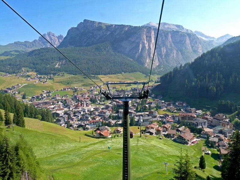
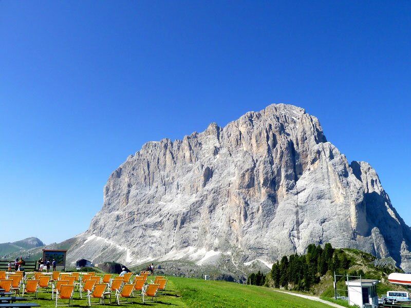
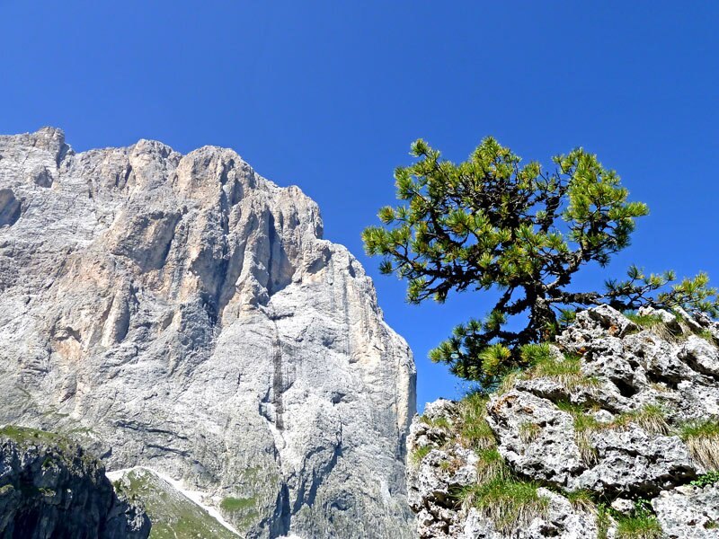
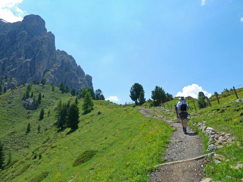
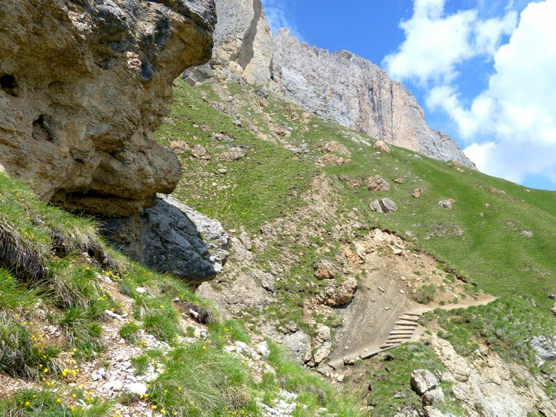
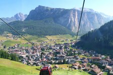
This six-hour hike reveals fantastic views of the Dolomites and their valleys. Starting from Selva Gardena, we take the Ciampinoi Cable Car, which transports us to an altitude of 2,260 metres in just a few minutes. After taking in the magnificent panorama, we walk down to the crossroads and follow trail marker no. 526A towards the Vicenza al Sassolungo Hut (Langkofelhütte). The path is rocky and narrow in parts, but the scenery compensates for the effort.
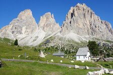
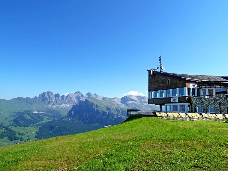
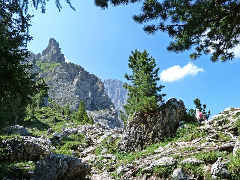
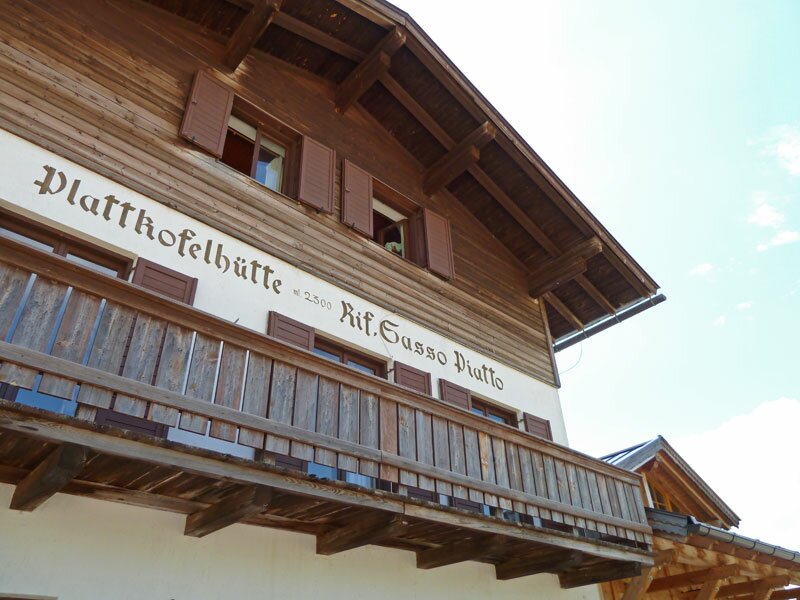
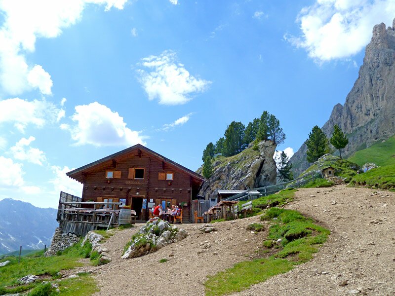
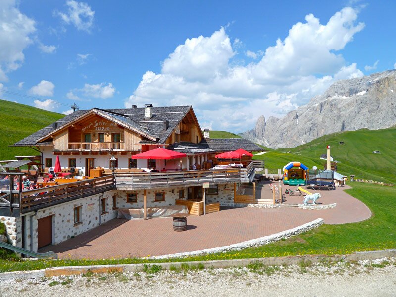
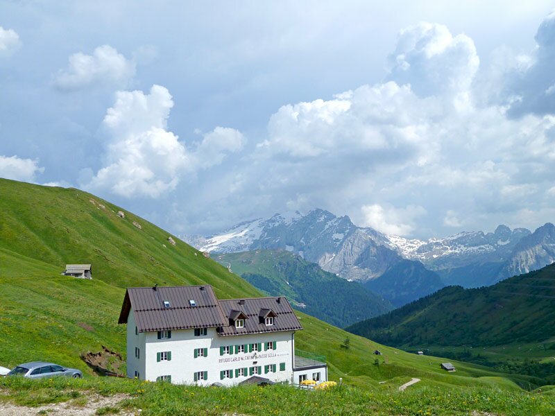
After reaching the area of Mt. Sasso Piatto below the Vicenza al Sassolungo Hut, the path (now no. 527) improves. We climb up to the Piz da Uridl and then follow the signpost further up towards the Sasso Piatto Hut at the Giogo di Fassa ridge. Once at the top, it is already time for a lunch break. From here, the path is known as the "Friedrich August Path" - this name will accompany us past the Sandro Pertini Hut and the Friedrich August Hut all the way to the Passo Sella.
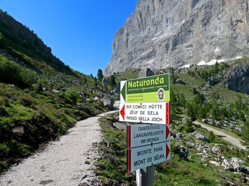
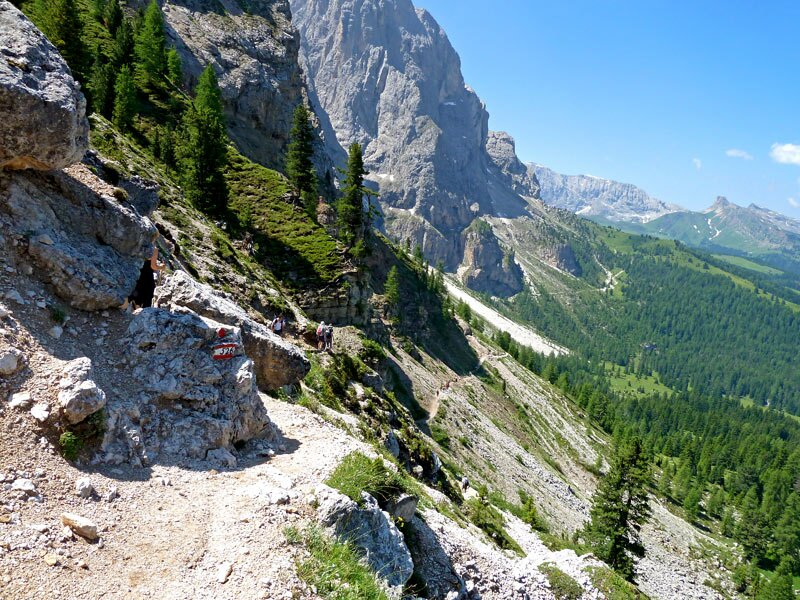
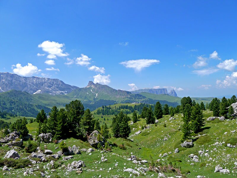
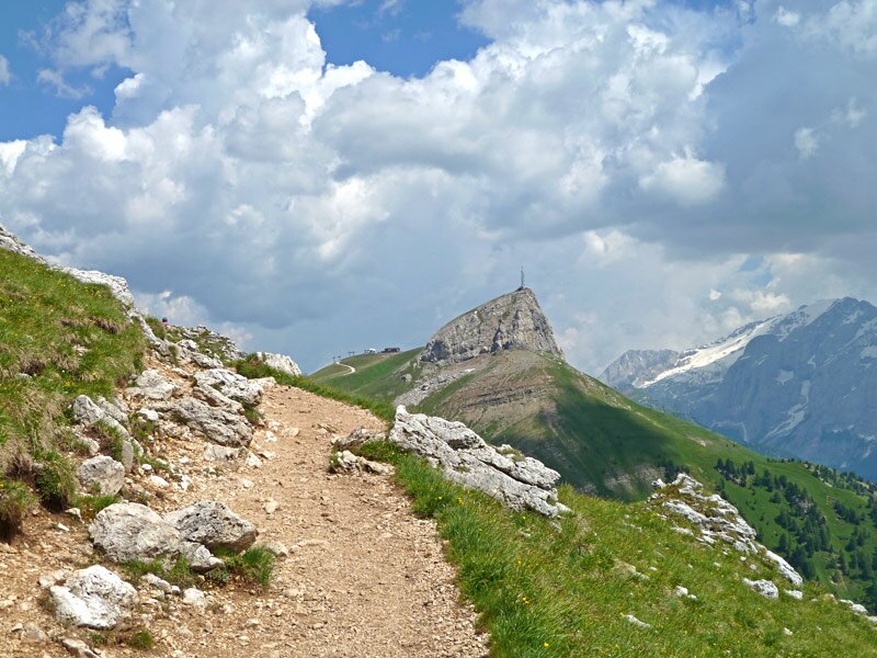
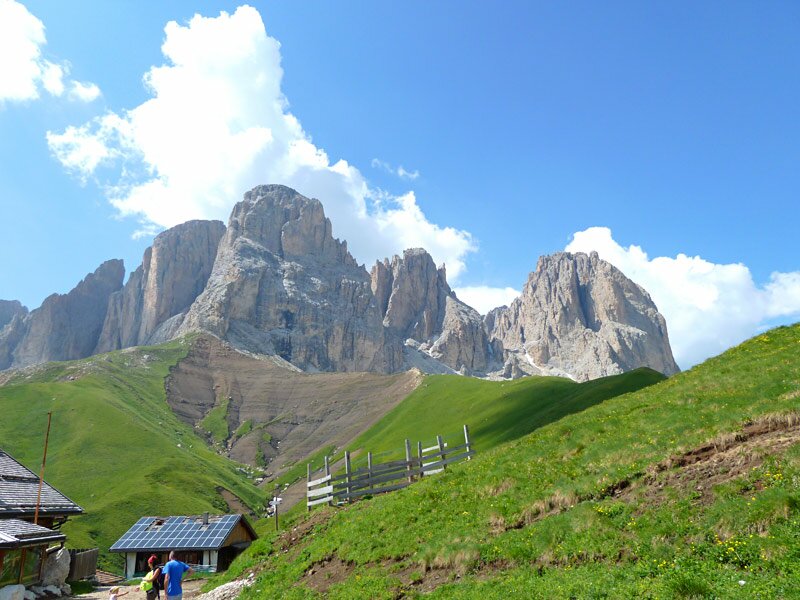
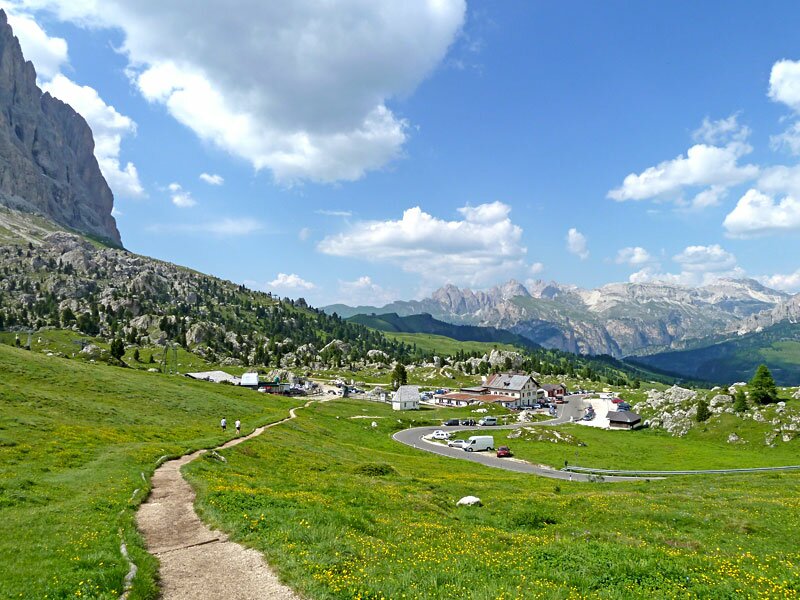
From there, we have an impressive view of the Sella Group with its Torri del Sella pinnacles, as well as the glaciated Marmolada, the highest peak in the Dolomites. On the other side, we see the peaks of the Sassolungo Group. From the Passo Sella, we walk through the fascinating "Città dei Sassi" (City of Stones) to the Piz da Sela and then ascend back to the Ciampinoi Cable Car station.
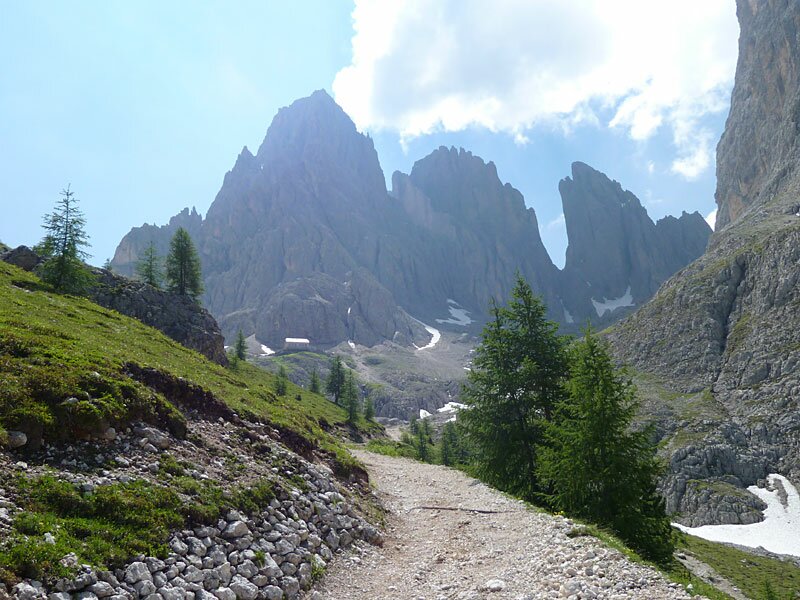
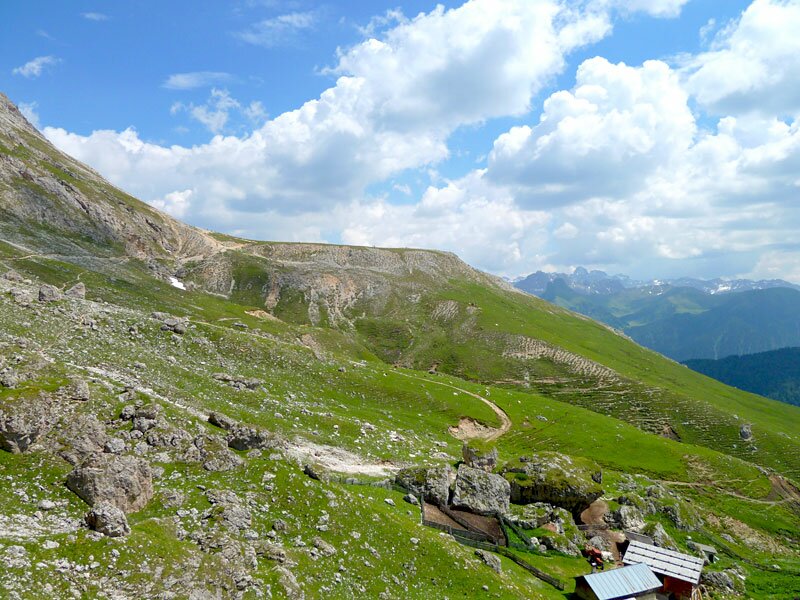
The circular hike requires a decent level of fitness, but it rewards us with memorable views of the surrounding Alpine peaks. After just over six hours, we finally return to Selva Gardena. Another route in the Sassolungo Group, which also passes through the "Città dei Sassi" and the Vicenza al Sassolungo Hut, is the hike to the Toni Demetz Hut.
Author: AT
Experienced: July 2010
Last updated: 2026
-
- Starting point:
- mountain station of the Ciampinoi Cable Car (1,952 m a.s.l.)
-
- Overall time:
- 06:05 h
-
- Total route length:
- 18,9 km
-
- Altitude:
- from 1.952 m to 2.354 m
-
- Altitude difference (uphill | downhill):
- +754 m | -754 m
-
- Route:
- Ciampinoi - Ciaulong - Mt. Piz da Uridl - Giogo di Fassa - Friedrich August Path - Passo Sella - "City of Stones" - Mt. Piz da Sela - Ciampinoi
-
- Signposts:
- no. 21, 21A, 526A, 526, 527, 557, 526, 21A, 21
-
- Resting points:
- various mountain huts along the trail (open during the summer months)
-
- Recommended time of year:
- Jan Feb Mar Apr May Jun Jul Aug Sep Oct Nov Dec
-
- Download GPX track:
- Hike around Mt. Sassolungo and Mt. Sasso Piatto
-
- More information:
- The overall time shown above refers to the walking time only, not including breaks or stops.
If you want to undertake this hike, we recommend checking the weather and trail conditions in advance and on site before starting this hike!