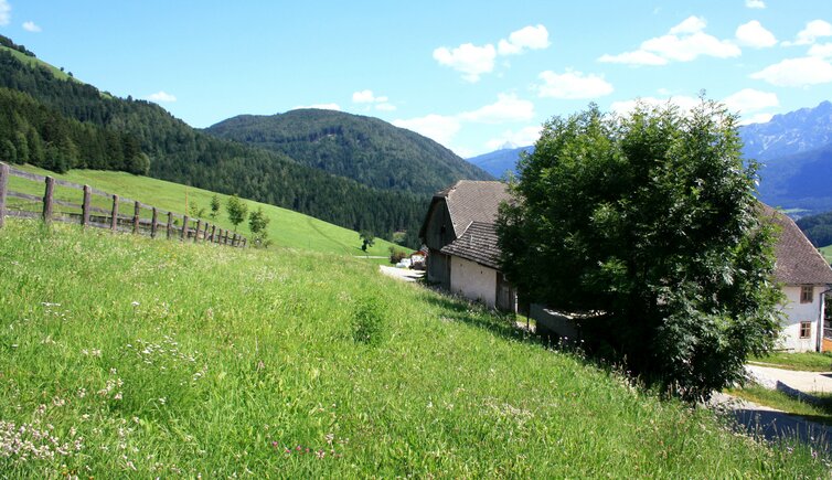
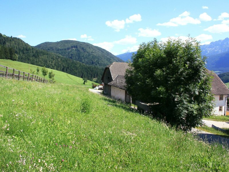
The oldest settlement in the municipality of Perca lies on a sunny mountainside: Montevila with its six historic farmhouses
Image gallery: Montevila

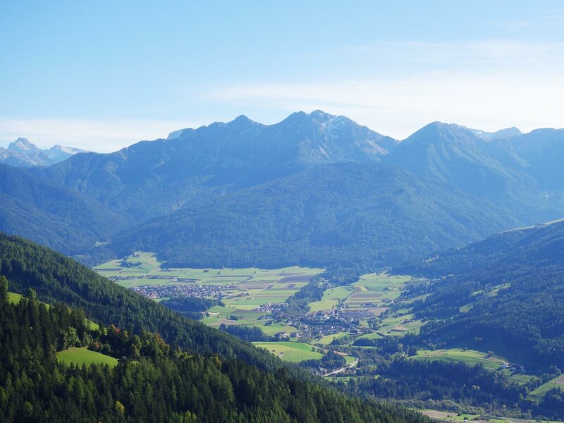
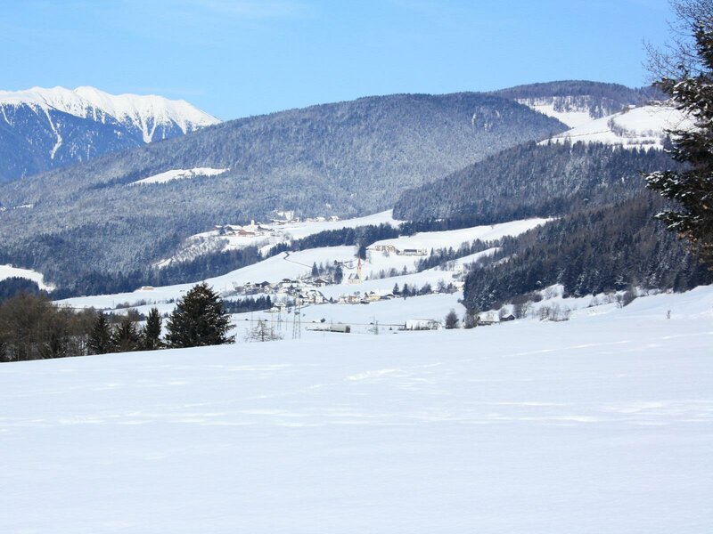
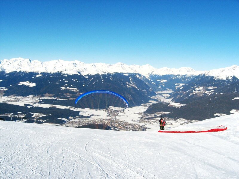
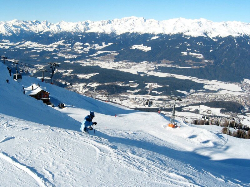
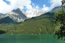
Montevila (Wielenberg) is a sunny hamlet belonging to the municipality of Perca and situated on a slope above Nessano. The eponymous Valle di Vila valley also begins here, leading into the pristine mountain landscape of the Rieserferner Group, or Vedrette di Ries. This is why Montevila, as small as it may be, is particularly popular with hikers: The Vedrette di Ries-Aurina Nature Park, which stretches out here, is an area with striking landscapes and several interesting viewpoints.
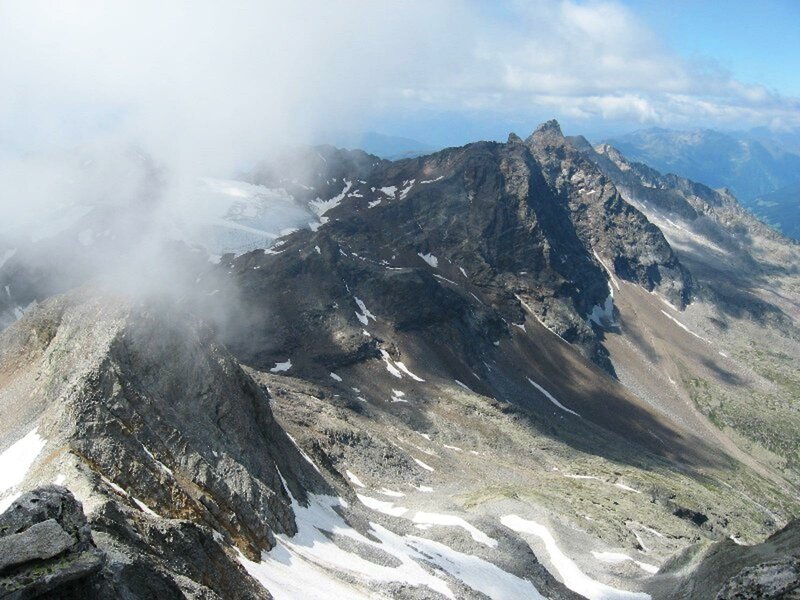
At the head of the Valle di Vila, called "Talile" (small valley), stands the Croda Nera, which at 3,105 metres is the highest point in the municipality of Perca and the southernmost three-thousander in the Rieserferner Group. If you are an experienced mountaineer, a tour to the summit from Vila di Sopra can be completed in five hours. The summit was first ascended in 1876. Today, the Vedrette di Ries Hut, located between the Valle di Riva and the Valle di Anterselva, serves as a base.
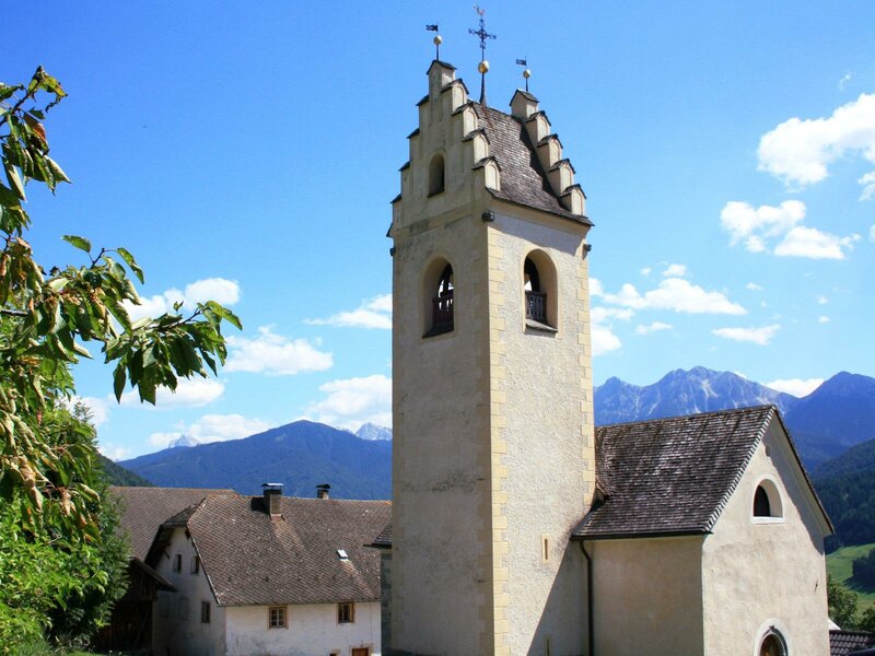
The history of Montevila dates back almost a millennium. Around 1080 AD, "Locus welinberc" already belonged to the county of the Bavarian Sieghardinger Engelbert. The small church in Montevila also dates from this period, and its Romanesque nave walls are still preserved today.
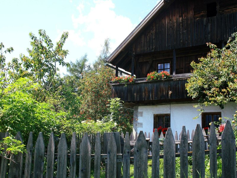
The core of Montevila consists of six ancient farmhouses: Descendants of the noble von Prey family live in the Genner, Joas and Leitl farmsteads today. In addition, there are the Harrerhof, Moarleitnerhof, and Hauserhof farms, which were built in the 16th century. The few new buildings in Montevila were only constructed after 1966, when the road was built.