The hamlets of Ponte di Stelvio and Masi di Stelvio lie on the way from the Val Venosta to the Ortles mountains
Image gallery: Ponte Stelvio - Stelvio Masi
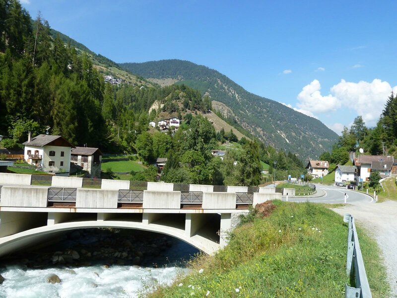
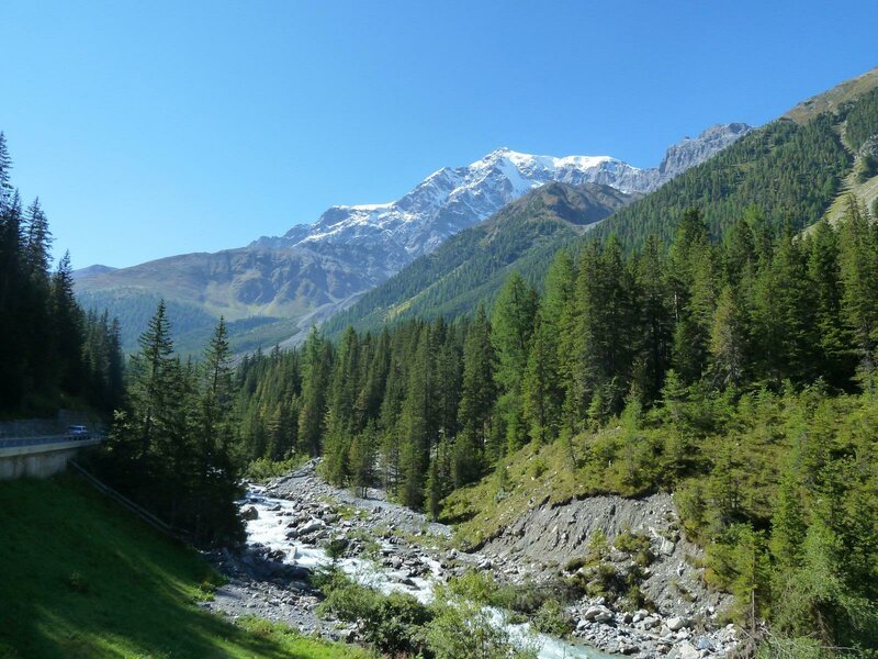
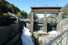
Stelvio village is built on a slope. The houses below and the farmsteads above the village form two distinct hamlets: Ponte Stelvio (literally: Stelvio Bridge) and Stelvio Masi (Stelvio Farms). The few houses of Ponte Stelvio are situated along the road on the valley floor, where the Rio Solda flows past. One of these is the Ponte Stelvio power station, which began operating in 1930 and, together with the Rio Trafoi station, today supplies electricity to the villages of Stelvio and Gomagoi. It is also featured in the Tecneum South Tyrol project, a virtual museum for technological heritage.
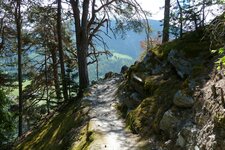
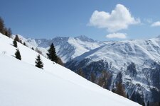
The old farmhouses of Stelvio Masi, located above the village, bear names such as Fragges, Valatsches, Platz, Faslar, and Gawierg, and are situated on the Farms Trail. This section of the path is also known as the first stage of the Ortles High Route, which stretches from the Stelvio Pass down to Stelvio. Descending, you cover almost 2,000 metres in altitude in a single day: The trail takes past the Stelvio Alpine Pasture and the Valatsches Farms, as well as the Faslar Farms.
Afterwards, the path leads down into the village. While Stelvio Masi promises peace and seclusion, Ponte Stelvio, down in the valley, is a place people pass through. Another hike starts from here, if you want to explore the area at the entrance to the Solda Valley on foot: The "Kleine Talrunde" (Short Valley Circuit) takes you along the Agumes irrigation channel to Prato allo Stelvio.
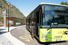
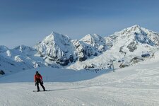
For the return journey, public bus routes are suitable, so the two-hour hike on the sunny slope of Agumes can also be shortened. In winter, you head up the valley to the neighbouring village of Gomagoi, where the road forks, leading either into Solda Valley with the Solda Skiing Area or into the Trafoi Valley towards the Stelvio Pass. The Trafoi Skiing Area is located there.