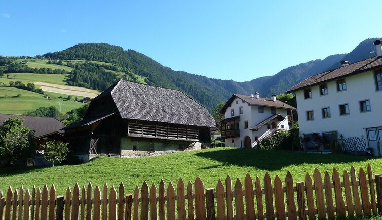
The farms above the village of Luson form the hamlet of Huben, whose Italian name “Masi” aptly means ”farmsteads”
Image gallery: Masi di Luson


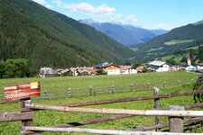
The Valle di Luson has been inhabited for a long time. Prehistoric settlements existed in Masi (Huben) and along the Burger Weg path, while the first permanent communities emerged in the protected, lower part of the valley. Here, between the Costa and the Rio Cavo ravines, several farms stand today amidst a striking natural landscape. Together with Croce and Monte, Masi is located in the lower section of the valley, with the main village of Luson at its centre.
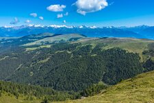
Remarkably, the fundamental structure of the valley has hardly changed since the 13th century. At that time, it was known as Lusinam or Lusna, and the forests of Luson were already mentioned in documents when King Arnulf returned them to the Bishop of Sabiona. Even today, a large part of the Valle di Luson consists of alpine meadows and forests, which extend to the high plateau of the Luson Alp. Furthermore, there is mention of seven so-called "Oblaten" as early as 1350.
These were the seven places in the valley required to pay tributes. The hamlets and settlements that still exist today essentially correspond to this almost seven-hundred-year-old division.
For hikers, the Luson Panoramic Trail is an interesting option. It passes near the village and introduces you to the valley's diverse landscape in about two hours. The Dolorama Path presents a greater challenge, being a multi-day hike divided into four stages. Its second stage touches the Luson Valley at the Passo delle Erbe and leads you from Luson into the Ladin Val Badia.