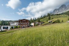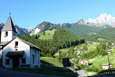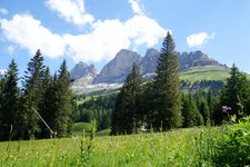
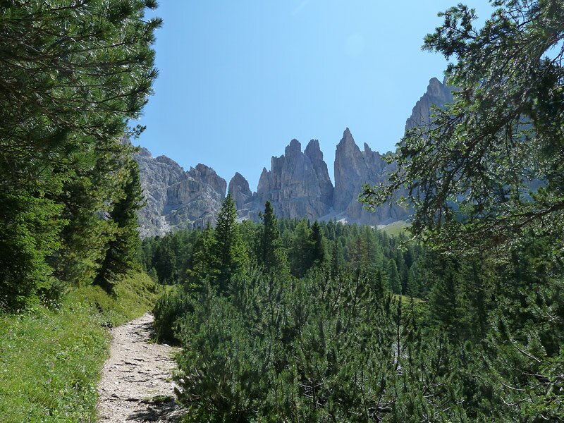
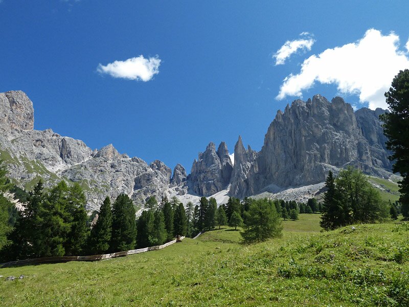
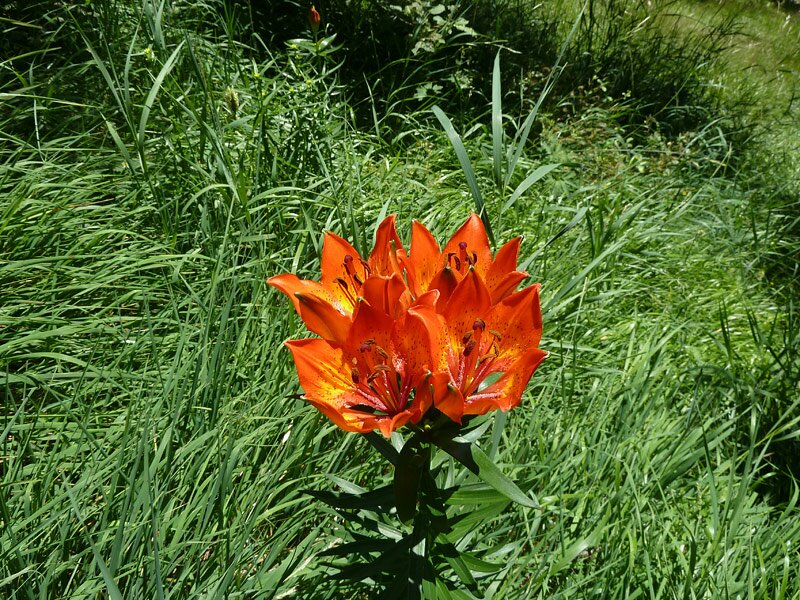
The Violet Pinnacles of the Catinaccio are the background scenery for this easy walk to the mountain pastures of at the Rio Angelbach brook in the spruce forests above Tires al Catinaccio
Image gallery: Hike to the Haniger and Plafötsch Mountain Huts
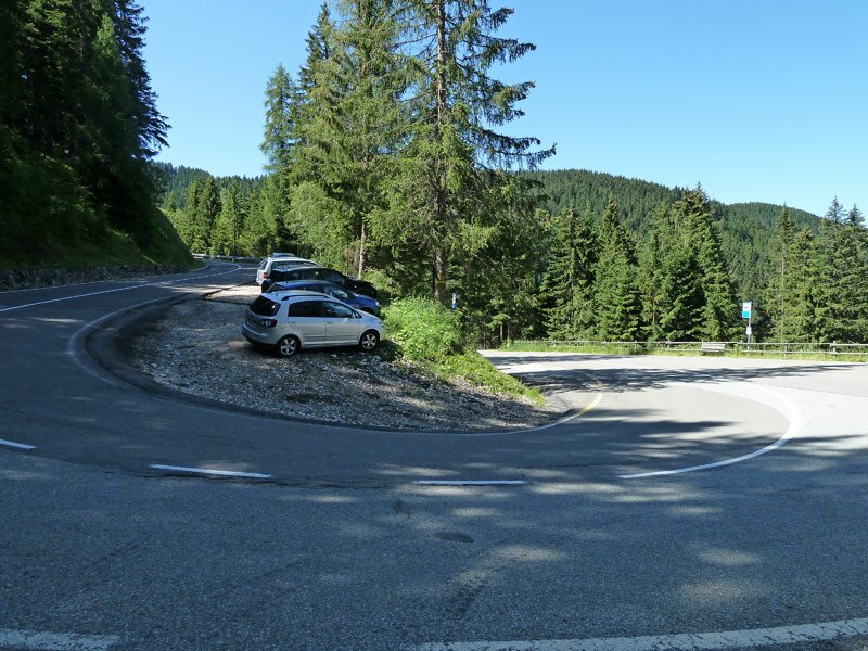
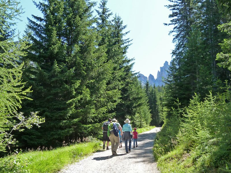
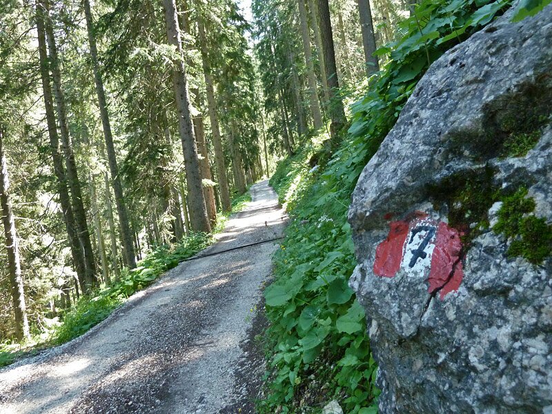
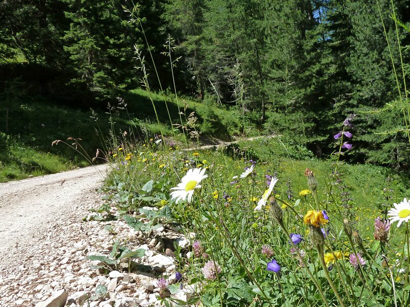
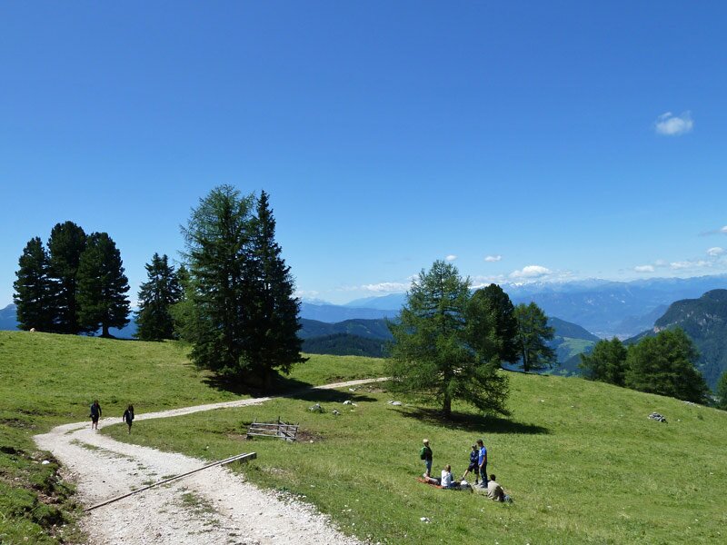
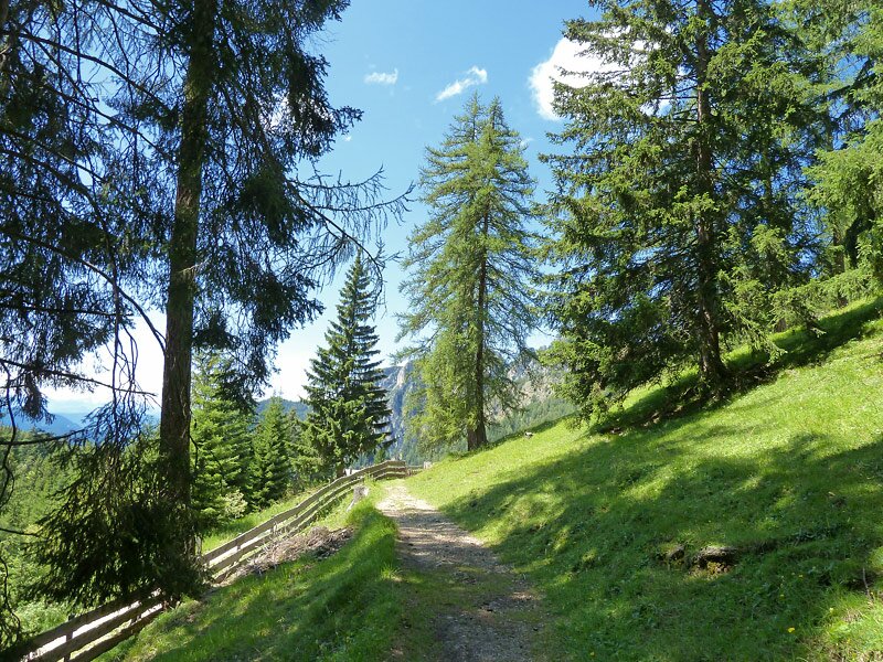
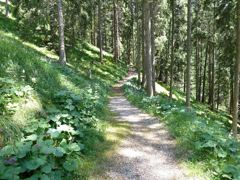
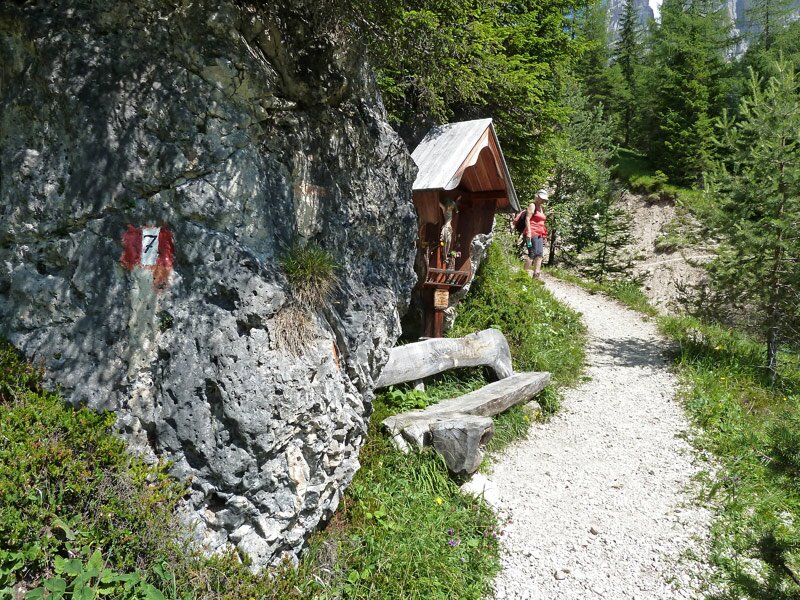
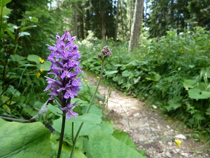
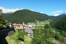
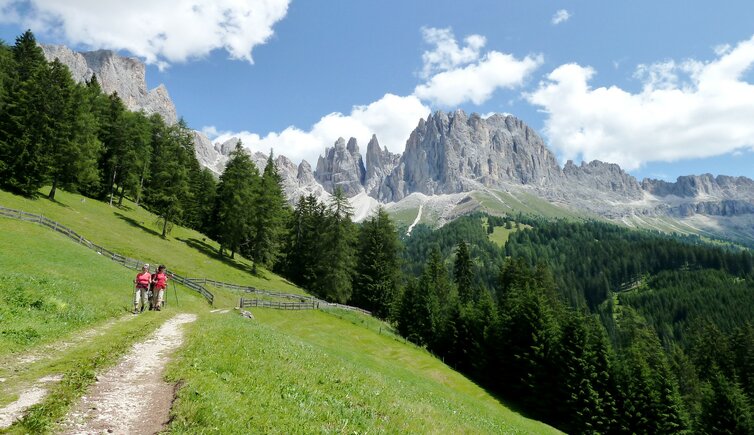
From Tires (Tiers), a mountain road takes to the Passo Nigra, directly located at the foot of the Catinaccio mountain range. At the hairpin bent no. 8, there is a little parking space which is the starting point for our walk to the Haniger Mountain Hut (Haniger Schwaige) and the Plafötsch Mountain Hut (Plafötsch Alm). First we follow the forested path no. 7A, then we take the slightly steeper trail no. 7, leading to the tree line.
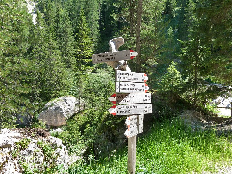
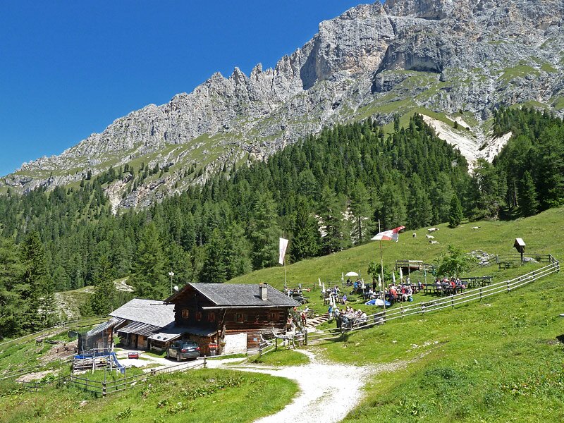
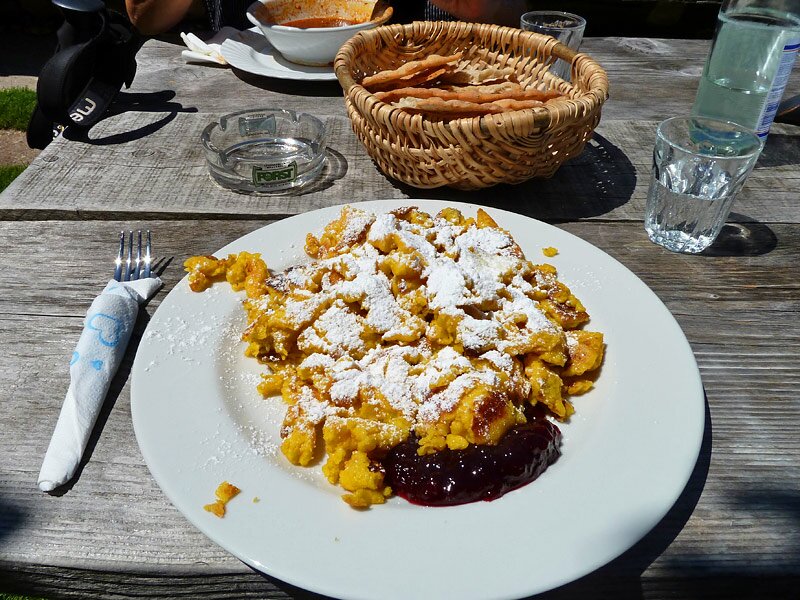
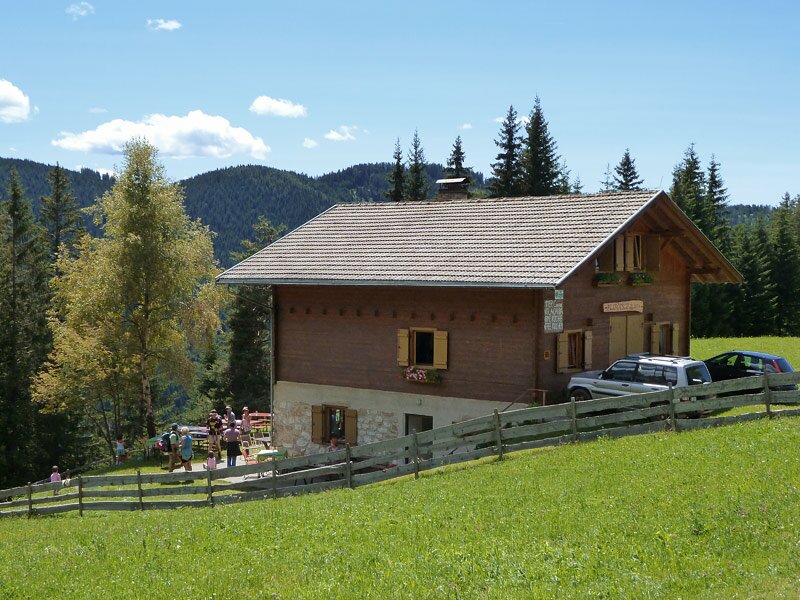
And we are now directly at the foot of the Vajolet Pinnacles in the Catinaccio mountain range. In front of us, there is the Haniger Mountain Hut. As it is already quite late, we stop at the mountain hut and enjoy delicious treats the lords offer. After lunch, we follow the trail no. 10, the way down to the meadows, then down to the valley of the Rio Angelbach brook.
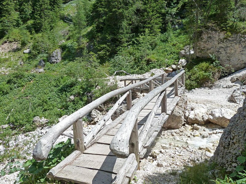
We encounter the path no. 7 at the point where we came by during our ascent, but walk across the bridge, following the path no. 10, until we reach the Plafötsch Mountain Hut. A highly enviable position, the meadows invite to a sunbath. For the way back we take the paths no. 7 and 7A.
Author: AT
-
- Starting point:
- road to the Passo Nigra, hairpin bend no. 8 (near bus station)
-
- Overall time:
- 03:30 h
-
- Total route length:
- 9,6 km
-
- Altitude:
- from 1.522 m to 1.916 m
-
- Altitude difference:
- +502 m | -502 m
-
- Signposts:
- 7A, 7, 10, 7, 7A
-
- Destination:
- Malga Haniger Schwaige, Malga Plafetsch
-
- Resting points:
- Haniger Schwaige, Plafötsch Alm
-
- Recommended time of year:
- Jan Feb Mar Apr May Jun Jul Aug Sep Oct Nov Dec
-
- Download GPX track:
- Hike to the Haniger and Plafötsch Mountain Huts
If you want to do this hike, we suggest you to check the weather and trail conditions in advance and on site before setting out.