Already in primeval times, it was considered an important way to traverse the Alps - today this path is known as Archaic or Wormision Trail and connects the Lombarian Veltlin valley and the Val Venosta via the Stelvio Pass: Here’s the stage Prato allo Stelvio - Stelvio
Image gallery: Hike along the Archaic Trail to Stelvio
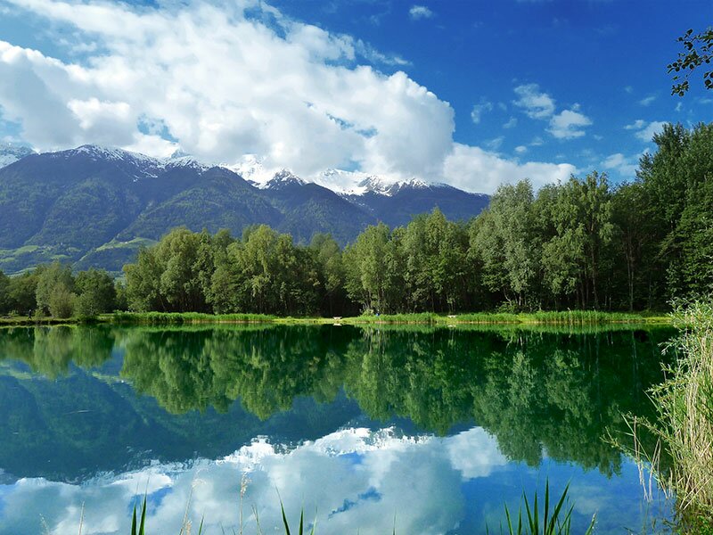
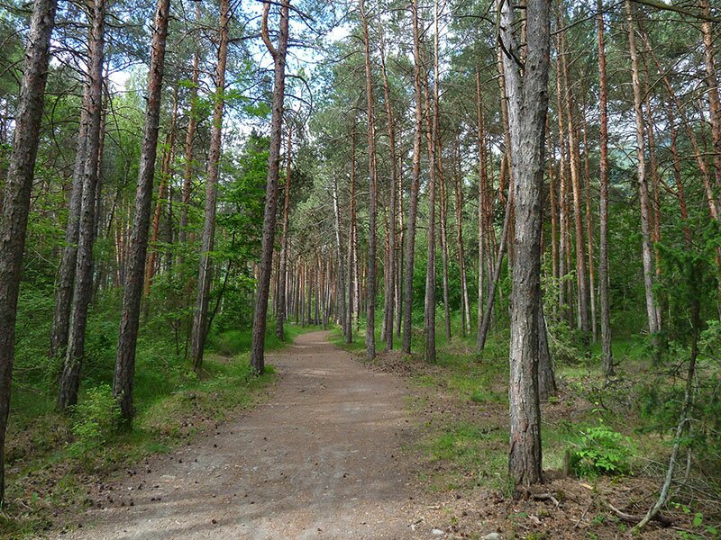
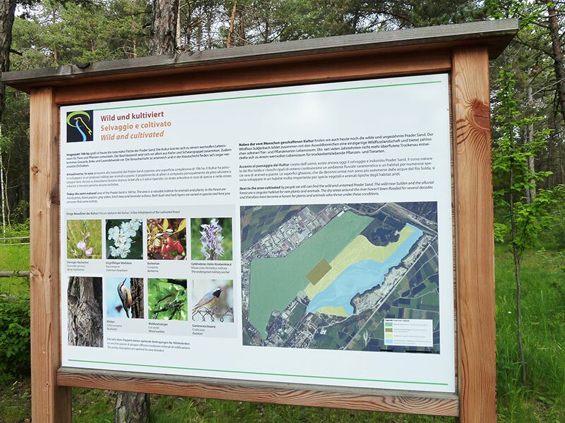
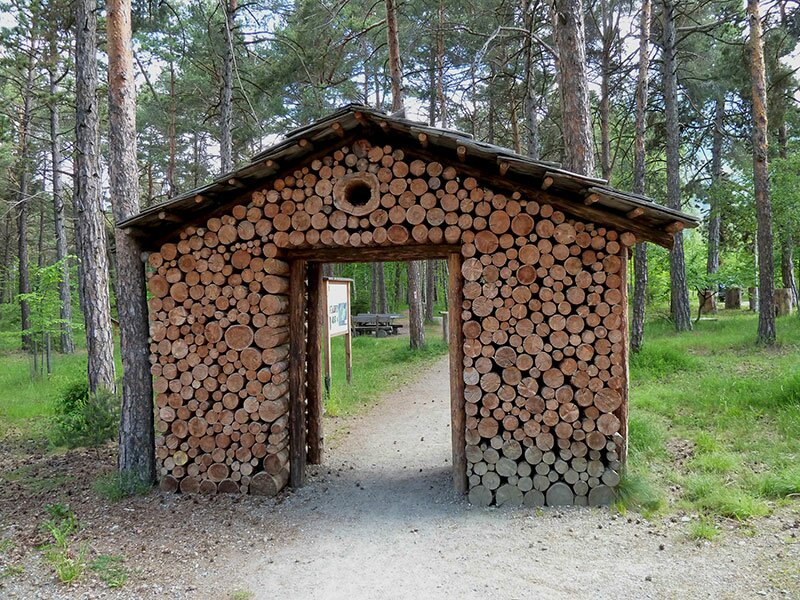
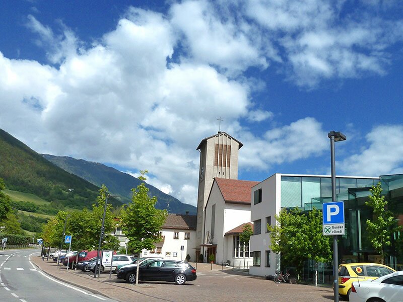
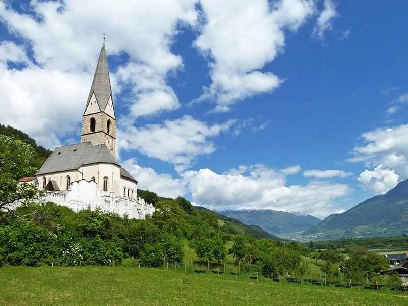
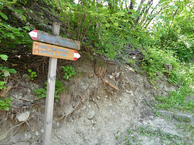
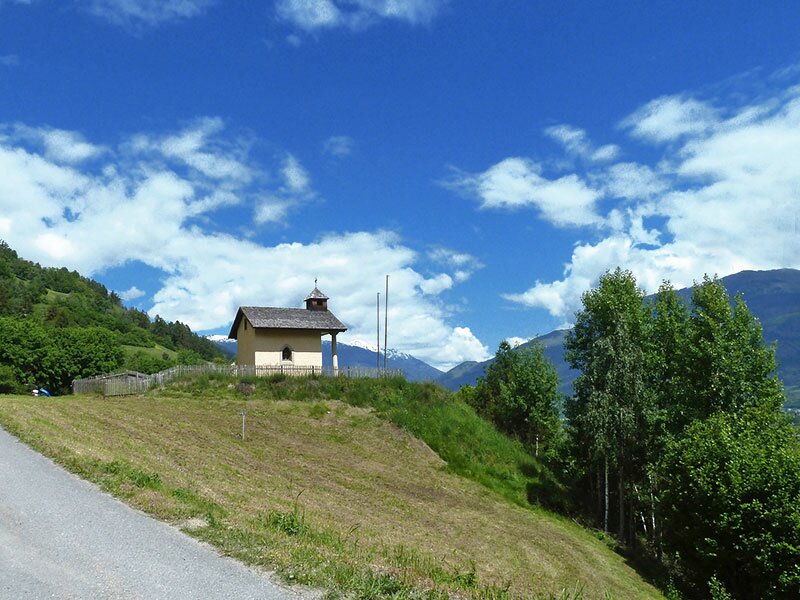
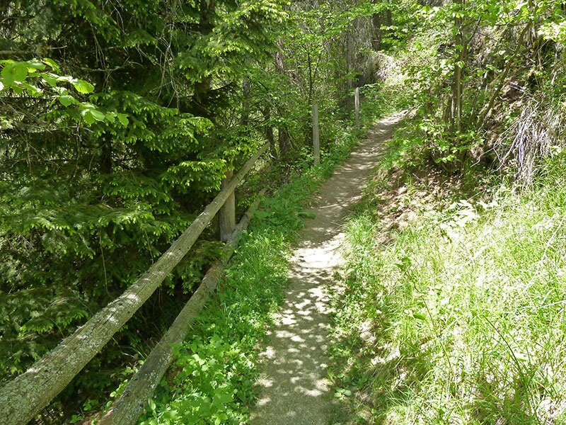
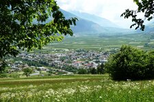
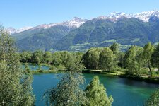
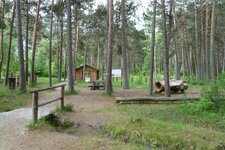
Starting point of our walk is the station of Spondigna (Spondinig), because before reaching the Archaic Trail (Archaikweg) we would like to walk across the biotope and the recreation area "Prader Sand". For this reason we follow the trail to Prato allo Stelvio (Prad am Stilfserjoch), leading us to a fish pond. From here we traverse unique forest areas and the meadows of the Rio Solda brook and walk towards the village. In Prato allo Stelvio, we follow the signposts to the church of Agumes. On the path to the Sacred Heart of Jesus Chapel, we start our ascent.
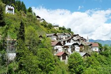
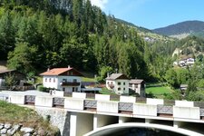
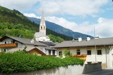
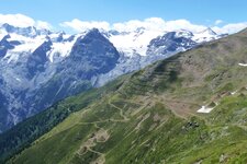
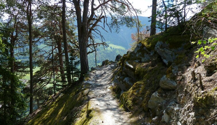
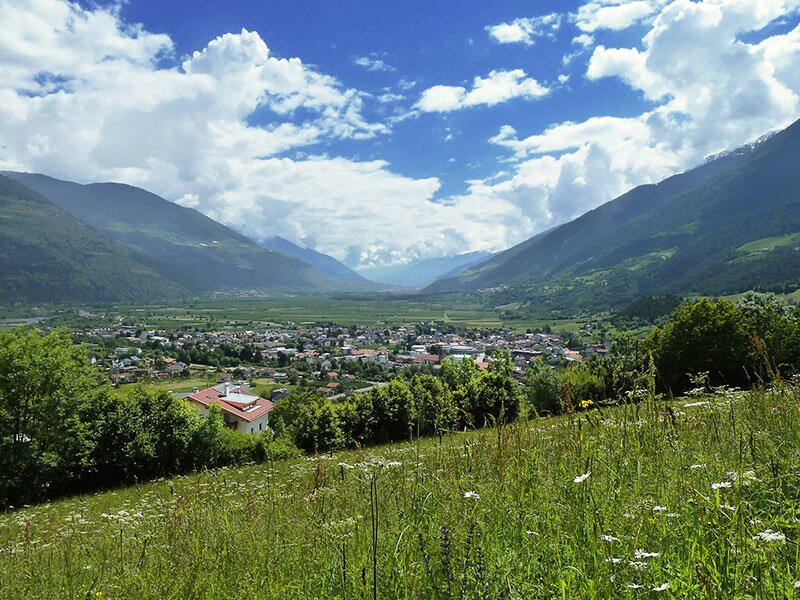
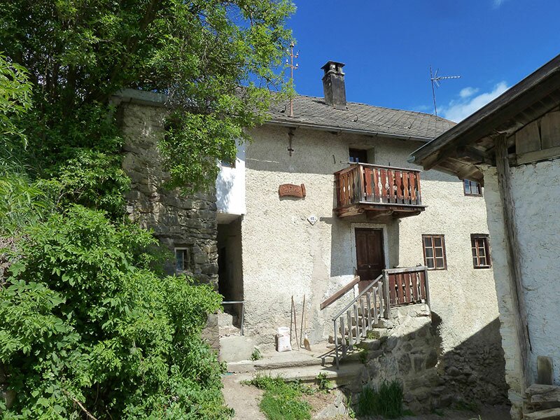
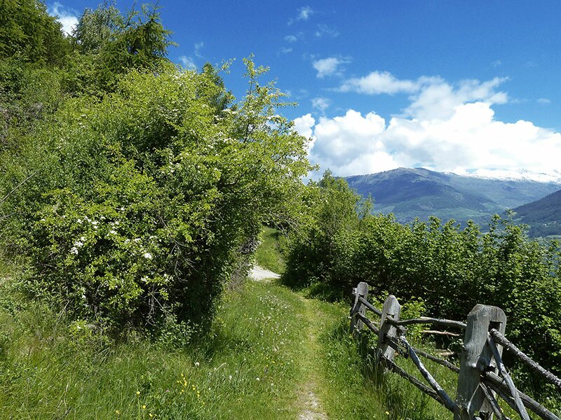
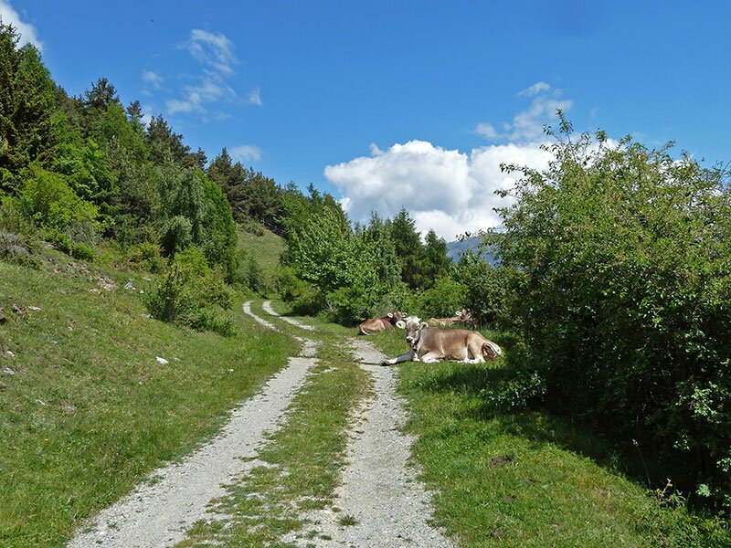
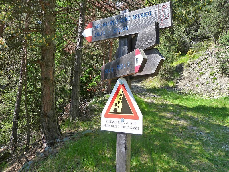
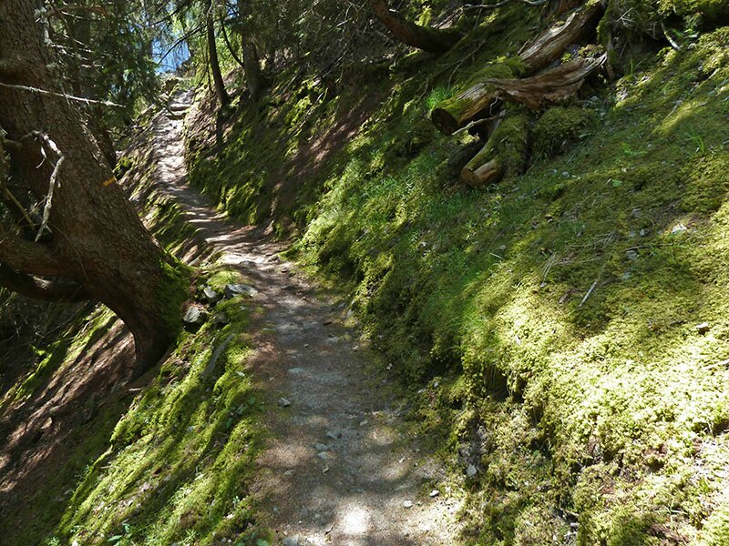
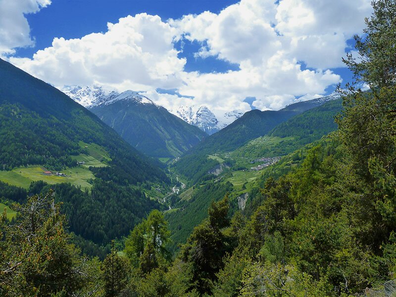
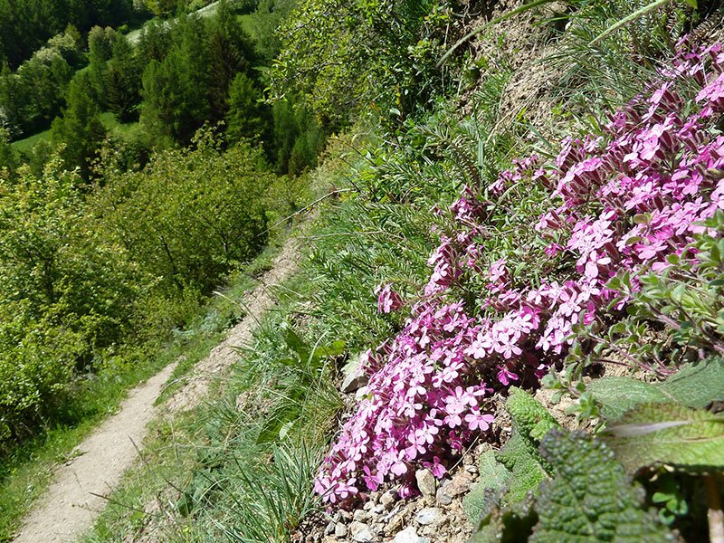
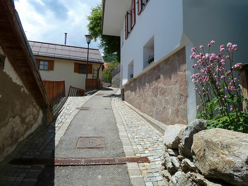
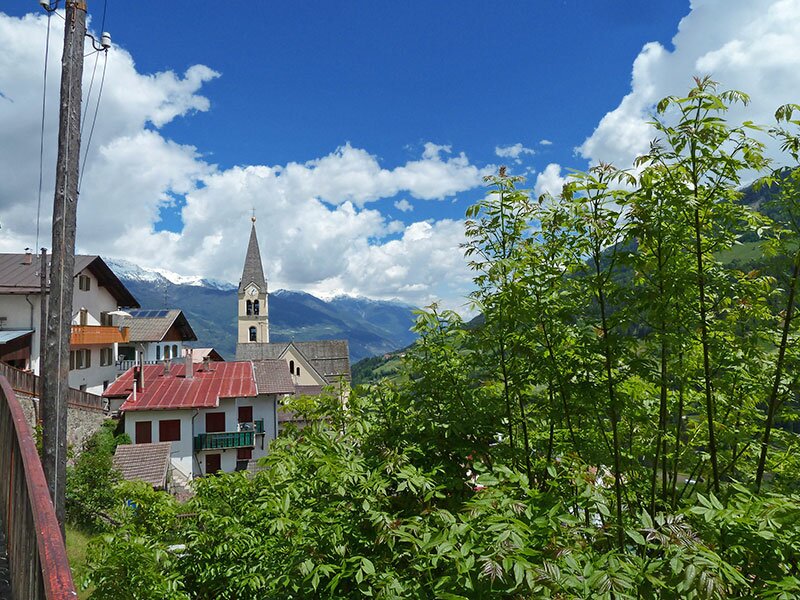
Soon we reach the first indications for the Archaic Trail of Stelvio. Past the Platzleid farm we walk up a broad trail, until a narrow trail branches off on the left. Along the slope, this path leads us across a sun-drenched landscape of mixed forests and bushes, deeper and deeper into the valley. In front of us we can admire the snow-covered peaks of the Ortles Alps, in the valley there is the village of Gomagoi, on the slope in front of us the village of Stelvio (Stilfs). Stelvio has been constructed in terraces on a steep slope, in ropes the paths traverse the village.
The rear part of the houses is seen as ground floor from the upper row buildings and turns out to be the first floor. This construction method is unique as far as South Tyrol is concerned and rather reminds on southern climes. For the way back you can either take the same route, or take the descent towards the "Stilfser Brücke" via the Waalweg path. We take the most comfortable possibility, that is to say we take the bus back to our starting point Spondigna.
Author: AT
-
- Starting point:
- Spondigna (railway station)
-
- Overall time:
- 03:40 h
-
- Total route length:
- 11,3 km
-
- Altitude:
- from 887 m to 1.428 m
-
- Altitude difference:
- +563 m | -138 m
-
- Signposts:
- no. 10, 9, 11, "Archaikweg"
-
- Destination:
- Stilfs
-
- Resting points:
- Restaurants in Prato and Stelvio
-
- Recommended time of year:
- Jan Feb Mar Apr May Jun Jul Aug Sep Oct Nov Dec
-
- Download GPX track:
- Hike along the Archaic Trail to Stelvio
If you want to do this hike, we suggest you to check the weather and trail conditions in advance and on site before setting out.