Through the wild natural landscape of the rear Val di Mazia valley we hike up to the well-known mountain hut in the Ötztal Alps
Image gallery: Hike to the Rifugio Oberettes hut
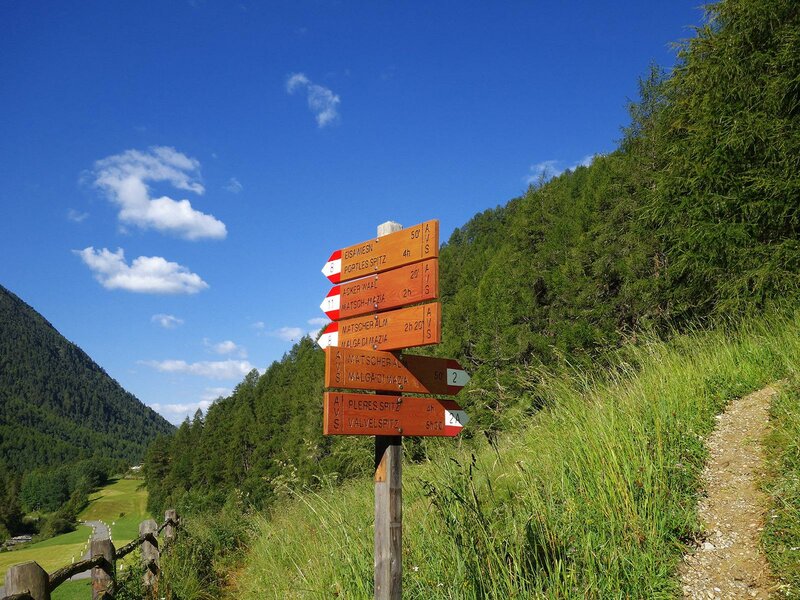

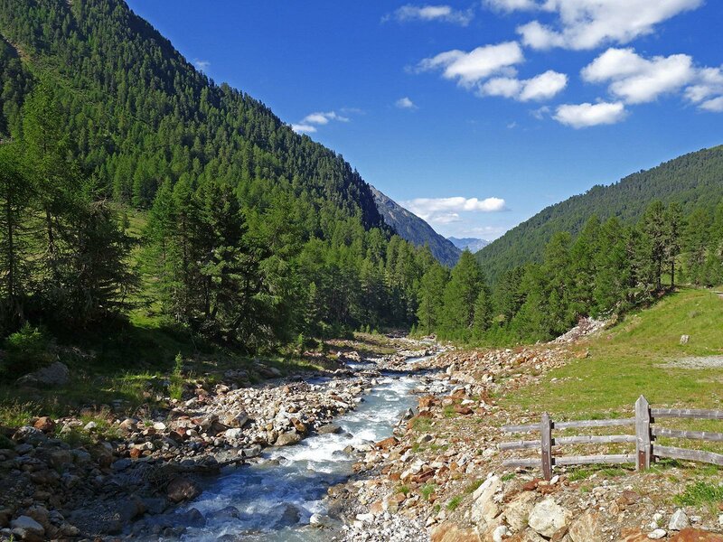
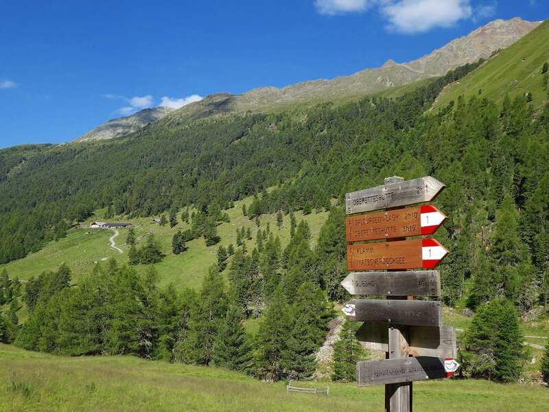
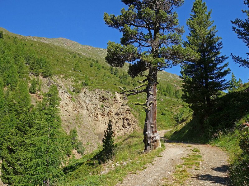
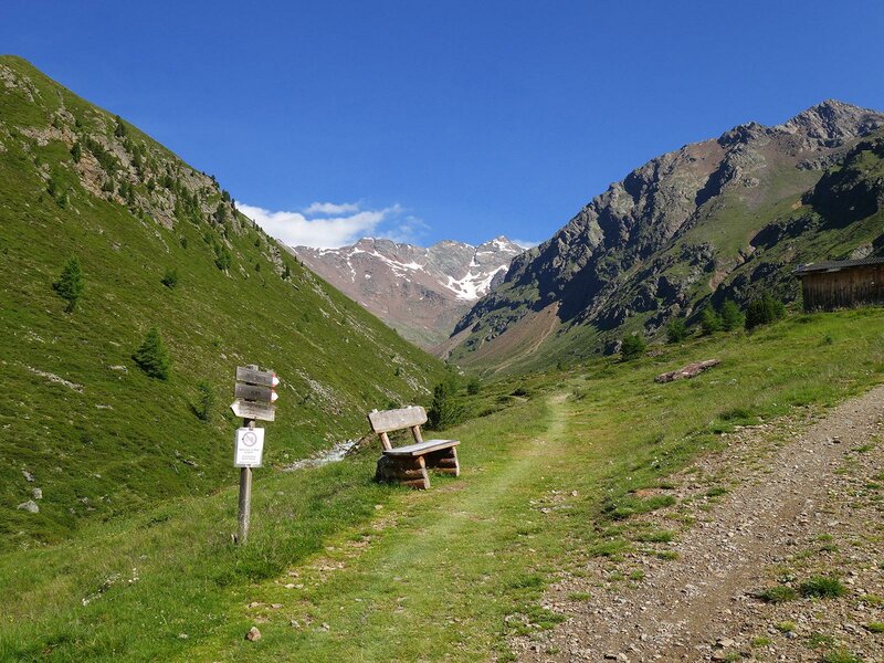
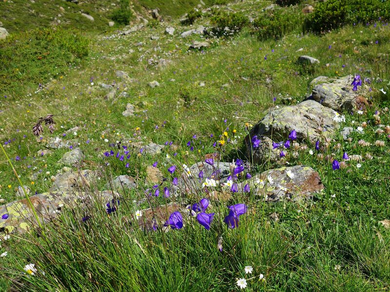
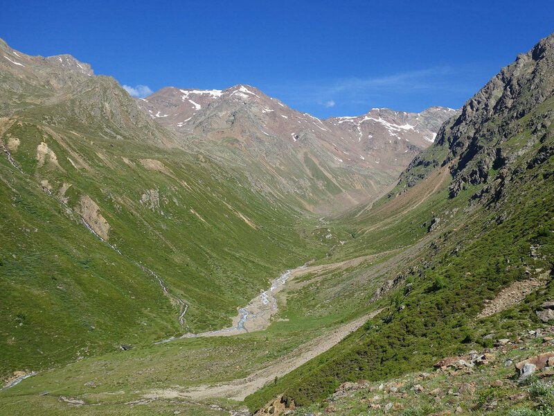
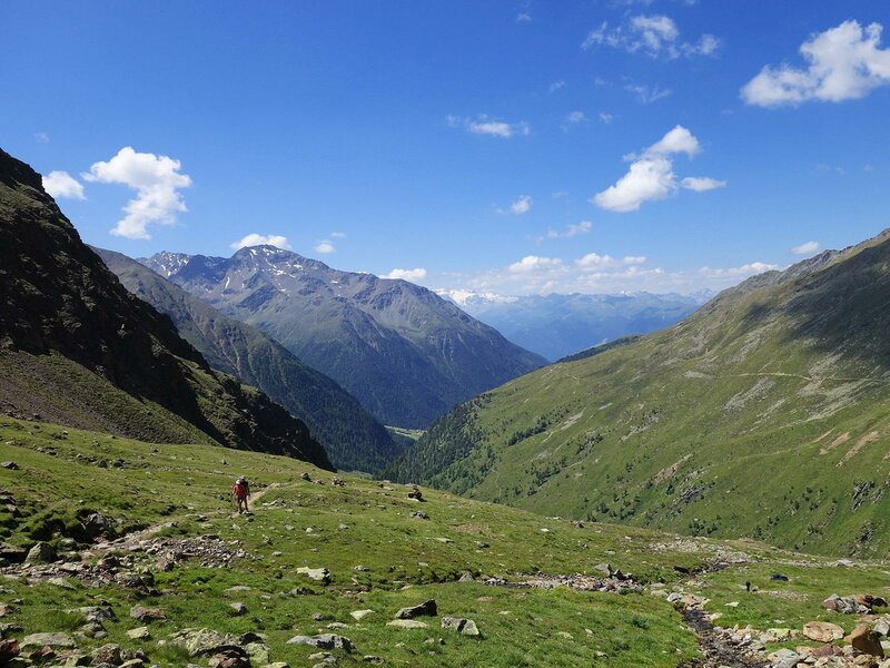
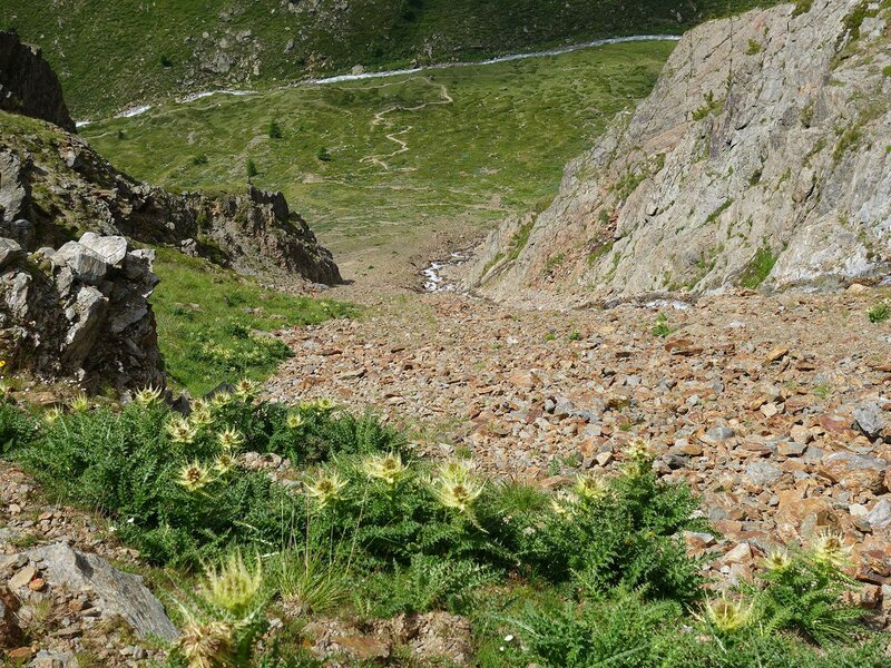
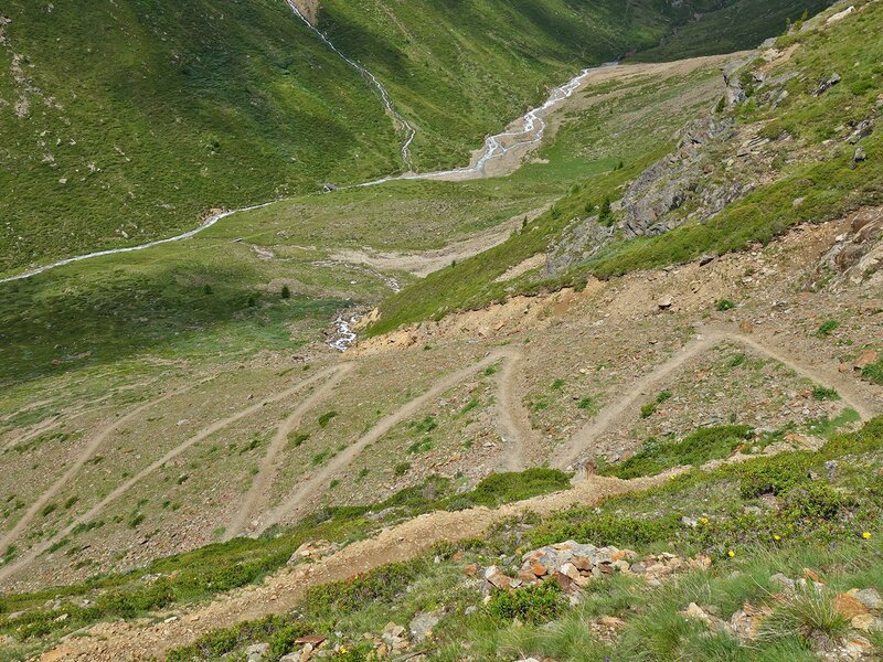
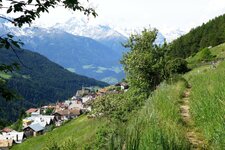
The car park at the Glieshof farm in the rear Val di Mazia valley is the starting point of our tour to the Rif. Oberettes mountain hut. We first follow the signpost no. 2 towards the Malga di Mazia (Matscher Alm). The forest road follows the course of the Saldurbach stream. After about 40 minutes we reach the junction with trail no. 1 to the Oberetteshütte mountain hut. Over a bridge, the trail changes the side of the valley. With increasing altitude, the valley shows its wild side: Fewer and fewer trees, but more and more meadows, heathland, bushes, boulders and rocks. The panorama is crowned by the icy Barba d'Orsa (Bärenbartkogel), a neighbouring peak of the Palla Bianca (Weißkugel).
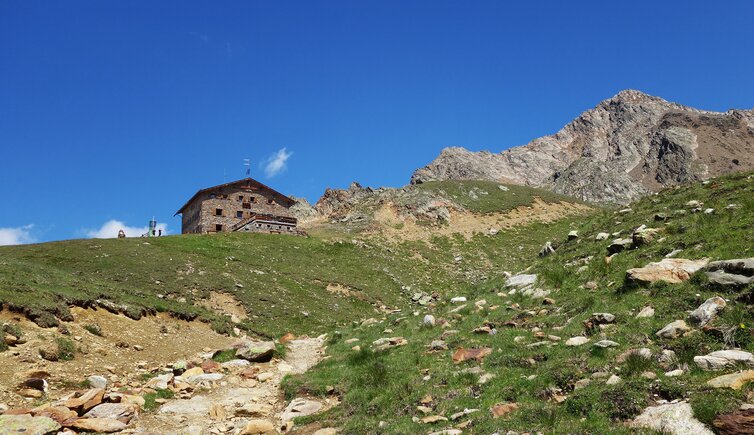
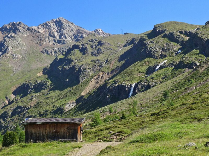
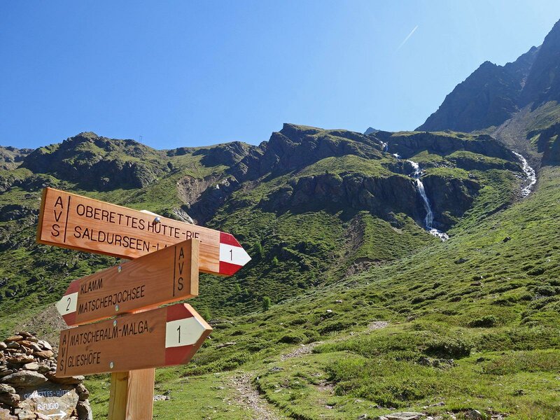
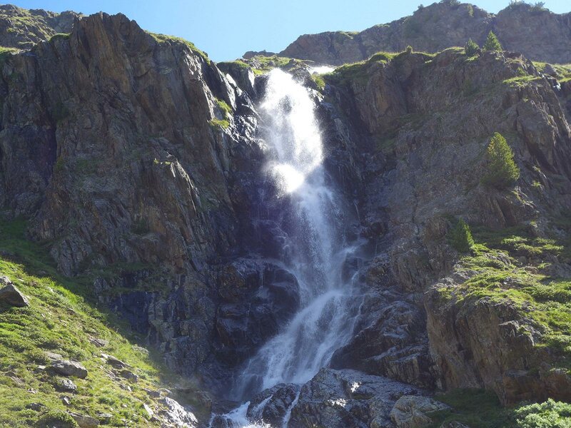
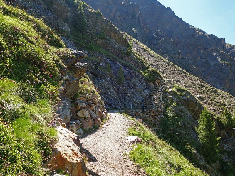
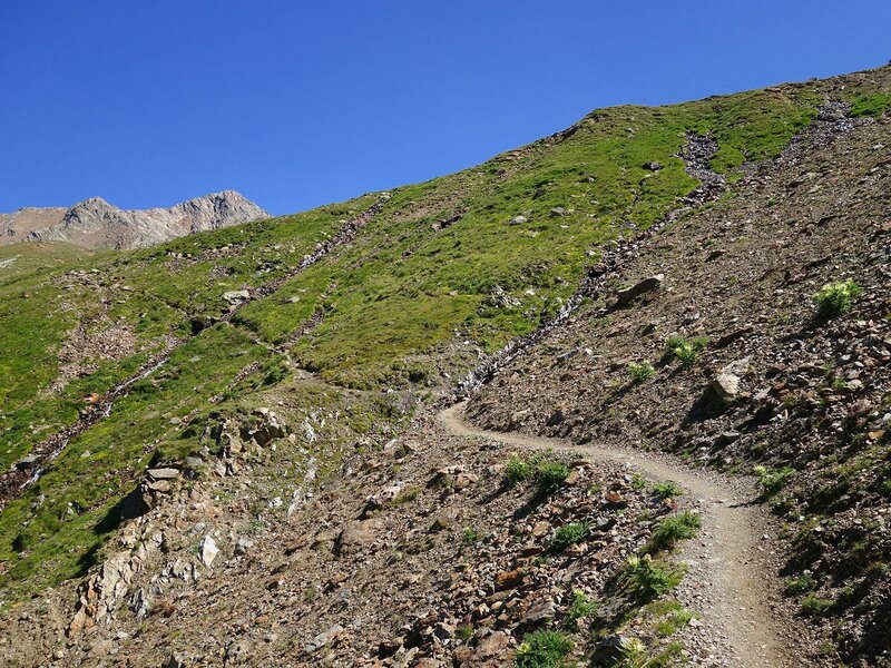
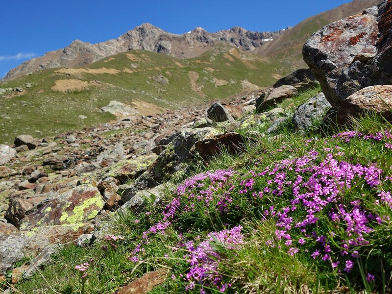
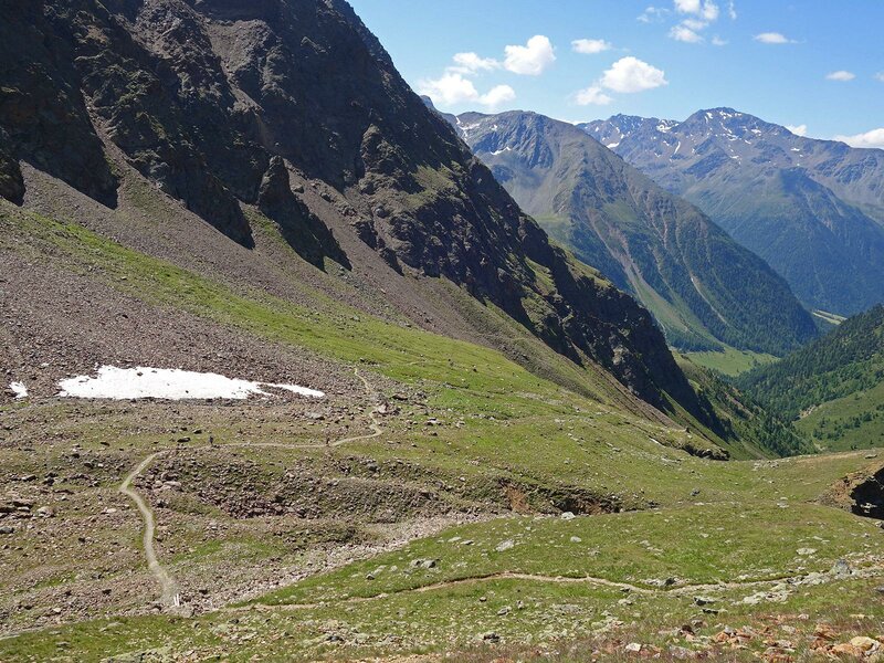
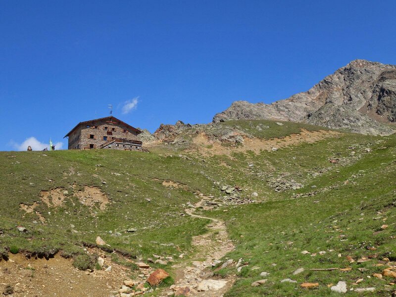
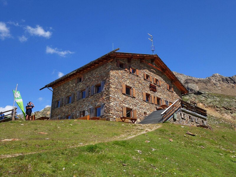
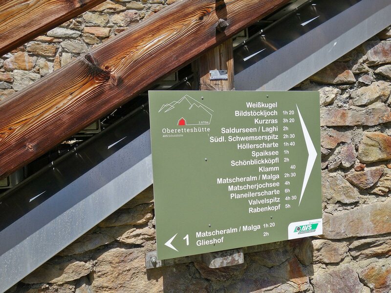
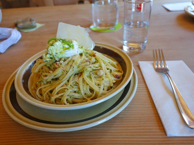
At the station of the goods cable lift, the road ends and a path continues towards the interior of the valley. Shortly afterwards, a steep trail branches off to the right and leads us directly to the Oberetteshütte mountain hut. Past a foaming waterfall, the path climbs higher and higher. The landscape becomes increasingly barren, but that is precisely what makes it so beautiful. We finally reach the mountain hut at 2,670 m a.s.l. The Oberetteshütte derives its name from the Oberettesferner glacier, which describes the "obere Ödland (upper wasteland) at the edge of the glacier. By the way, great importance is attached to the quality and regional origin of the products in the kitchen, and it truly tastes delicious!
On the way back, which follows the same route, we can enjoy the natural landscape a second time, this time with view on the massive ice and snow fields of the Ortles Group.
Author: AT
-
- Starting point:
- Mazia, Glieshof farm (hikers' car park)
-
- Overall time:
- 04:30 h
-
- Total route length:
- 13,6 km
-
- Altitude:
- from 1.806 m to 2.665 m
-
- Altitude difference:
- +859 m | -859 m
-
- Signposts:
- no. 2, 1, Oberetteshütte
-
- Destination:
- Oberetteshütte
-
- Resting points:
- Oberetteshütte, Matscher Alm
-
- Recommended time of year:
- Jan Feb Mar Apr May Jun Jul Aug Sep Oct Nov Dec
-
- Download GPX track:
- Hike to the Rifugio Oberettes hut
If you want to do this hike, we suggest you to check the weather and trail conditions in advance and on site before setting out.