Alpine mountain tour from the Forcola Mountain Hut above Trafoi to Mt. Cima Garibaldi and the Stelvio Pass, on a primeval connection trail between north and south
Image gallery: Hike on the Wormision Trail to the Stelvio Pass
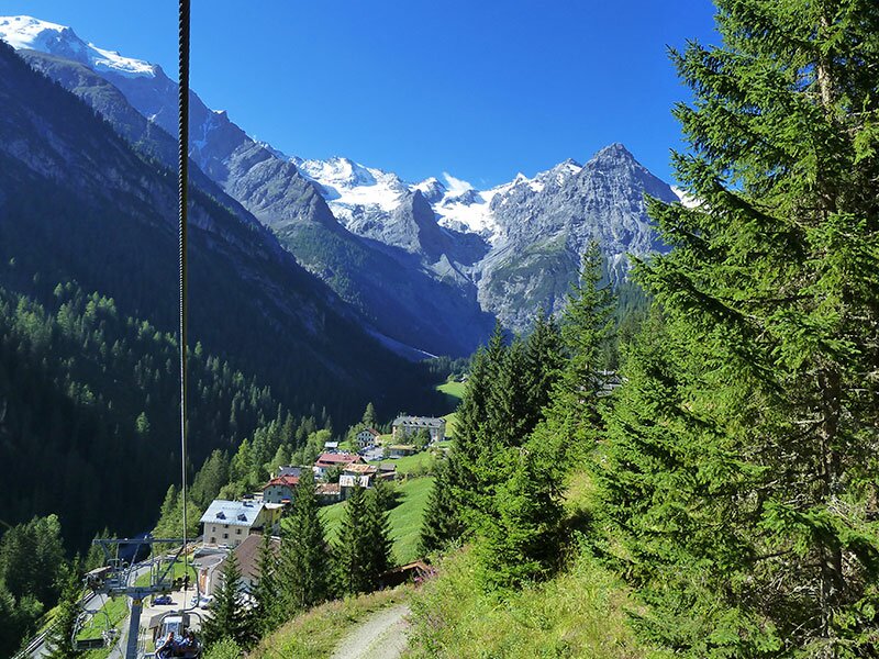
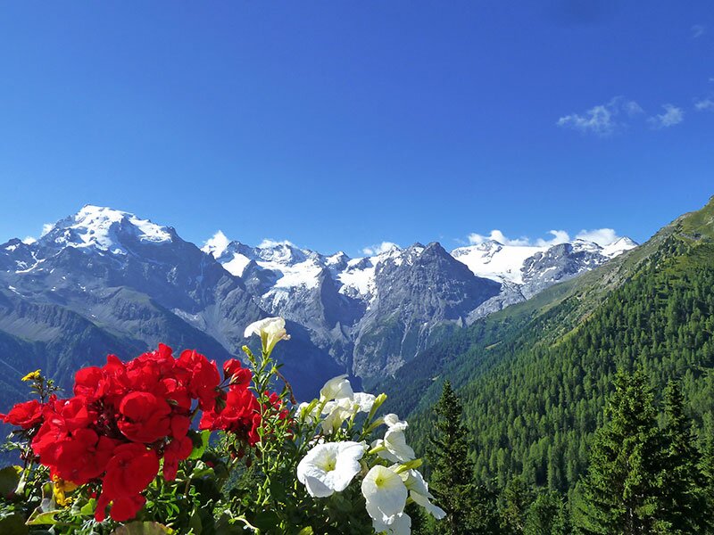
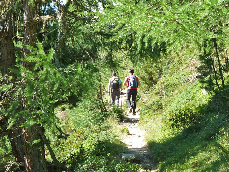
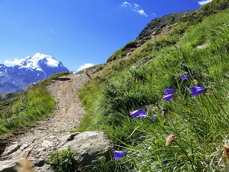
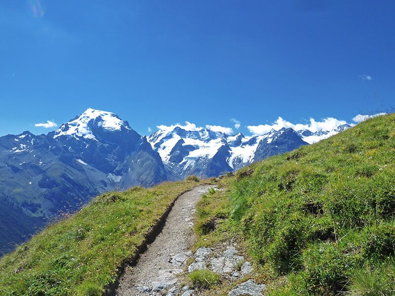
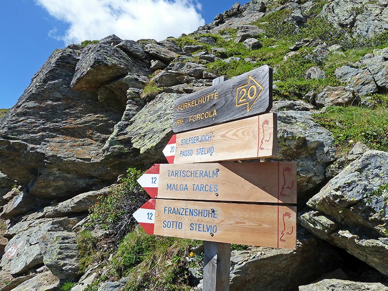
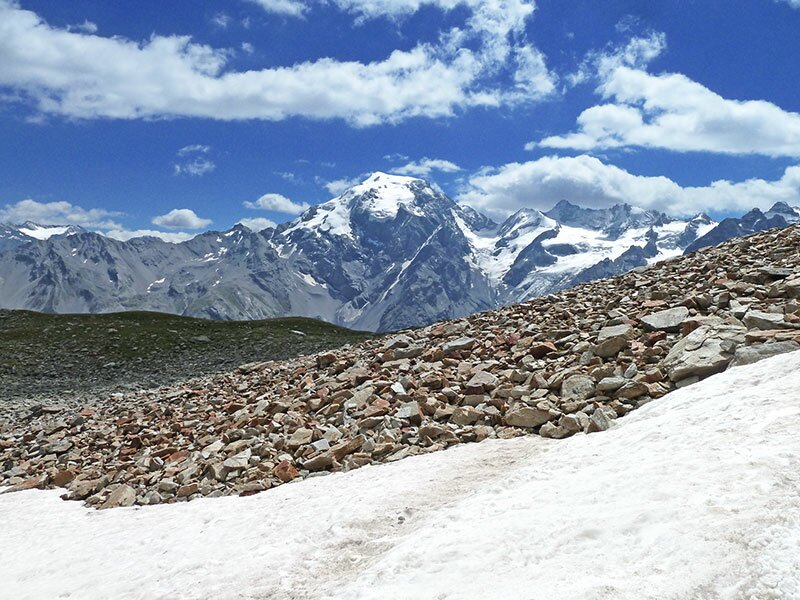
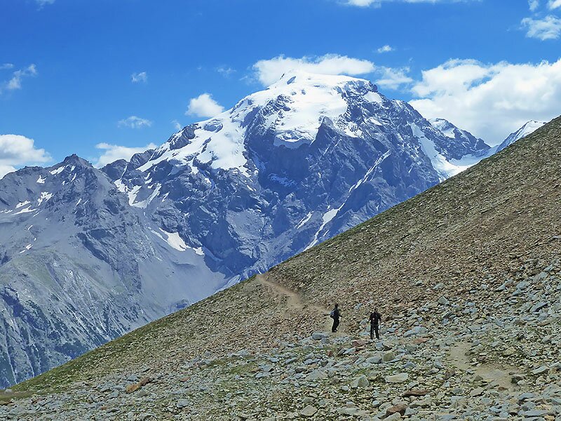

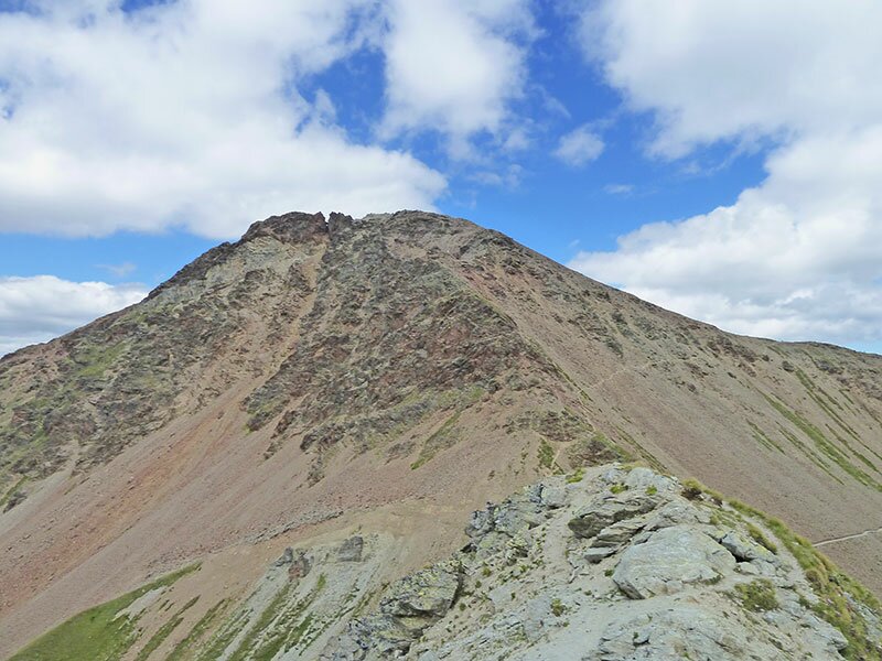
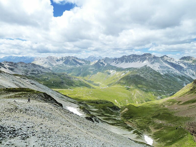
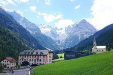
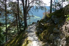
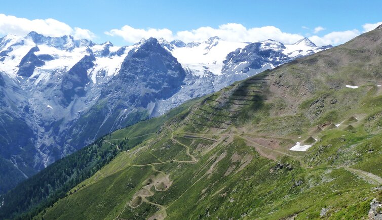
This tour takes us to different borders: tree lines, state borders, regional borders and language borders. In Trafoi, we take the chairlift, taking us to the Forcola Mountain Hut (Furkelhütte) at 2,150 m a.s.l. From this place you can enjoy a perfect view of the Ortles Glacier. The path no. 20 is a narrow, but well-maintained path, leading up towards the Passo dello Stelvio. Soon we reach the tree line and a high-Alpine landscape with scars flora strikes the eye. What prevails here is a stone desert, on the opposite side of the valley, there is the ice desert with the Ortles Glacier.
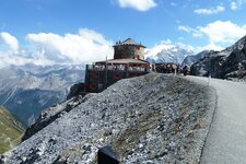
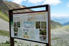
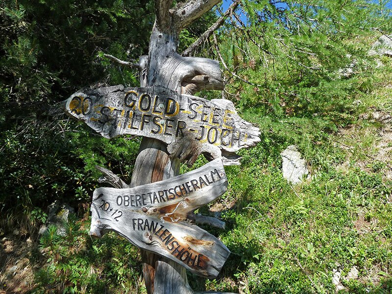
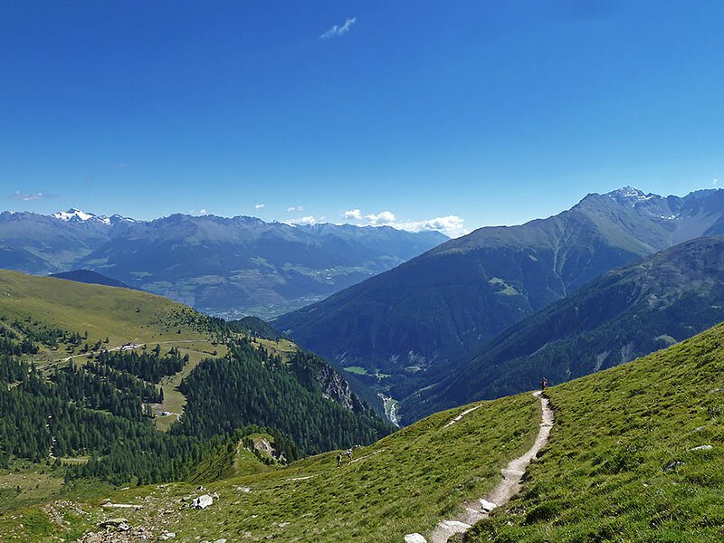
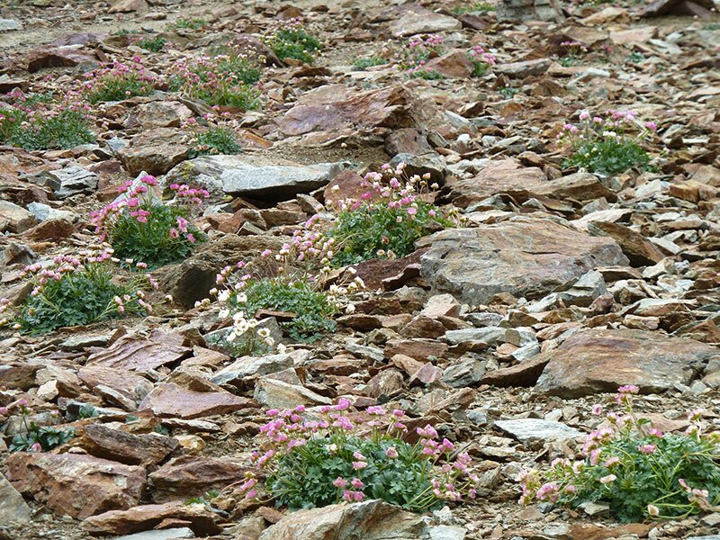
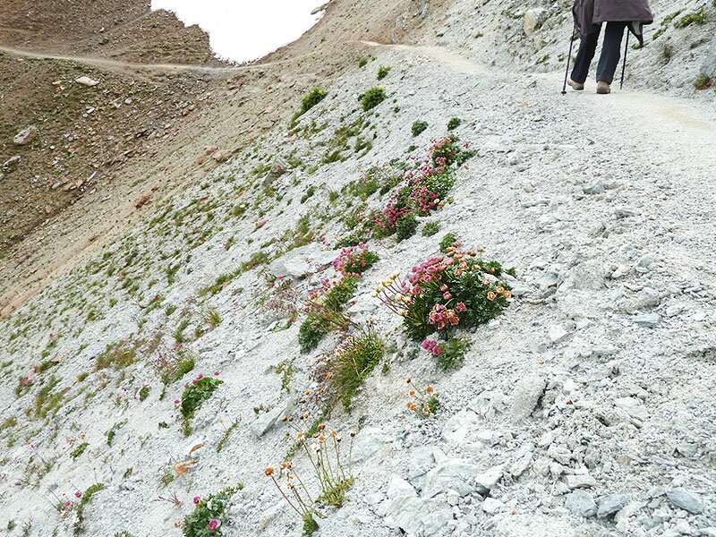
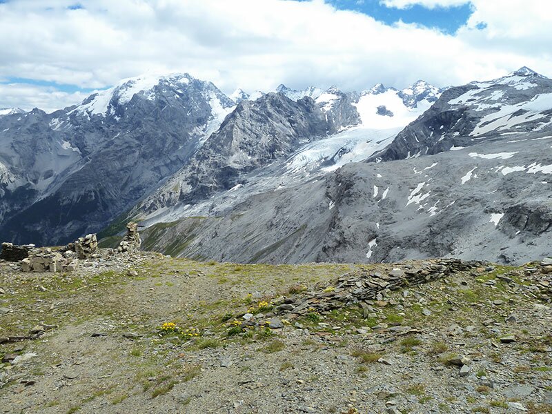
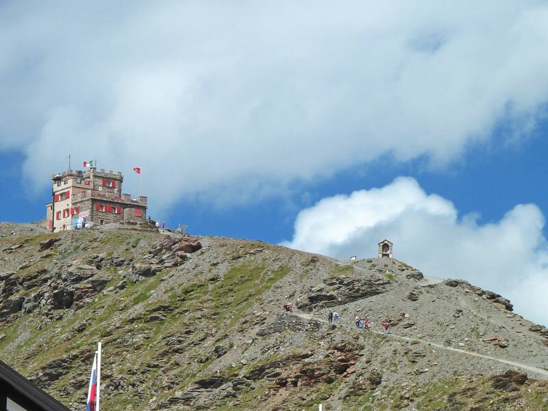
We keep walking up, rocks and stones replace the meadows in this altitudes. Taking a closer look at the surroundings, we discover, however, how many plants and flowers en miniature are hidden between the scars detritic cones. Nature and life cannot even be stopped at this altitude, of about 3,300 m a.s.l. Past the Lago d'Oro lake (literally: Golden Lake, Goldsee, 2,708 m a.s.l.) and the fortresses of WW1 (information panels inform you about the horrible war in those days), we've almost reached our walking destination. A few metres are left before reaching Mt. Cima Garibaldi, located at the border of Italy and Switzerland.
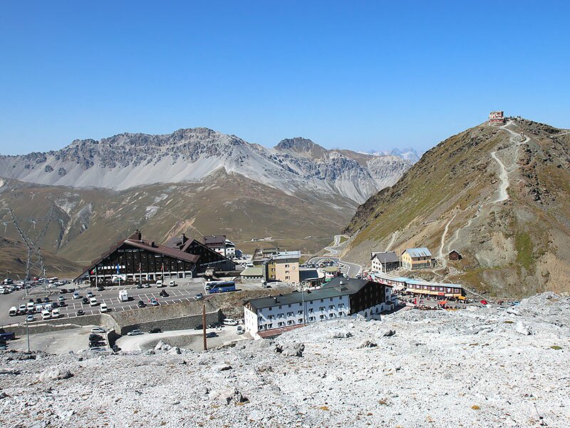
"Rifugio Garibaldi" is a mountain hut that looks like a little castle. It marks the point where the Italian province of Lombardy meets the Engadine and the mainly German-speaking South Tyrol. Just below, there is the Umbrail Pass in the west and the Stelvio Pass in the south. We walk towards the latter and take the bus back to Trafoi.
Author: AT
-
- Starting point:
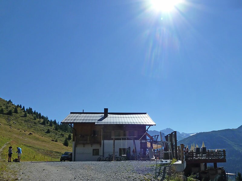
- Forcola Mountain Hut (chairlift mountain station)
-
- Overall time:
- 03:05 h
-
- Total route length:
- 8,4 km
-
- Altitude:
- from 2.146 m to 2.855 m
-
- Altitude difference:
- +713 m | -112 m
-
- Signposts:
- "Goldseeweg", "Wormisionssteig", no. 20
-
- Destination:
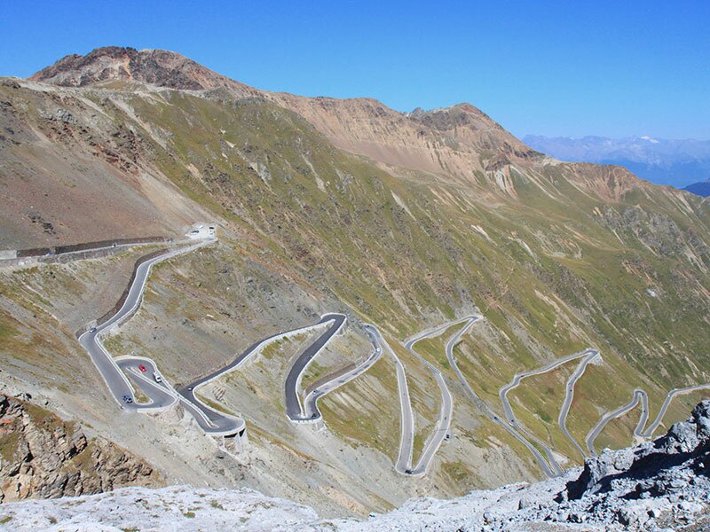
- Stilfser Joch / Passo dello Stelvio
-
- Recommended time of year:
- Jan Feb Mar Apr May Jun Jul Aug Sep Oct Nov Dec
-
- Download GPX track:
- Hike on the Wormision Trail to the Stelvio Pass
If you want to do this hike, we suggest you to check the weather and trail conditions in advance and on site before setting out.