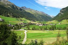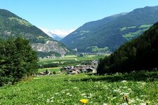
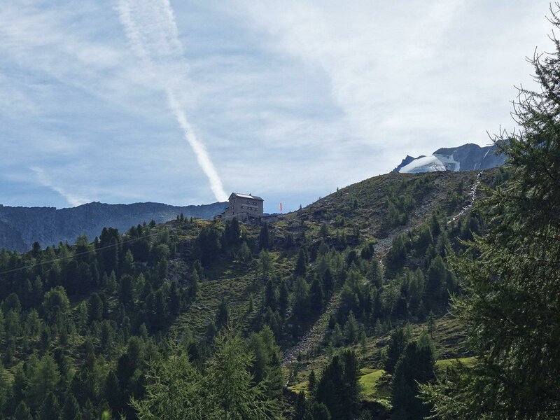
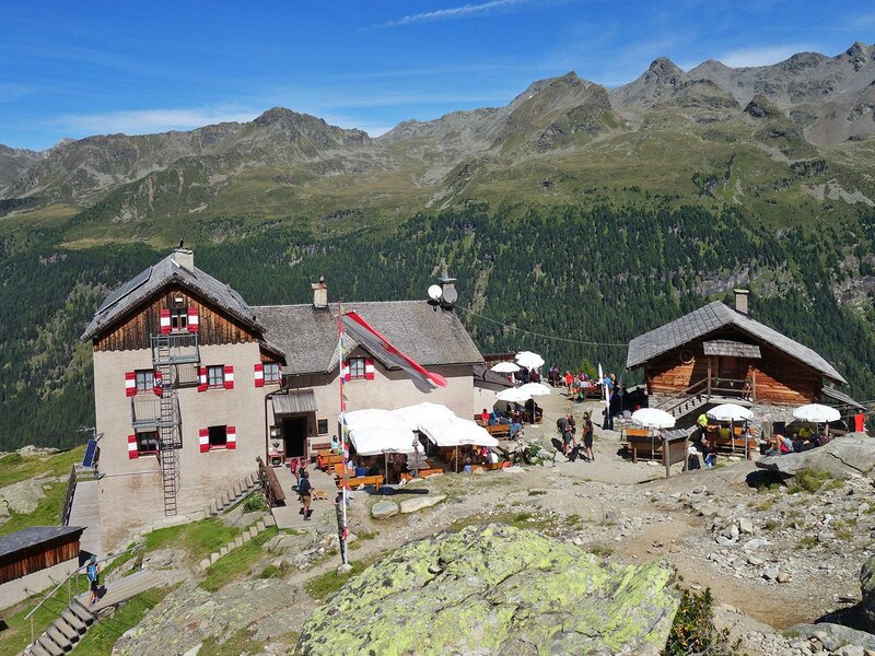
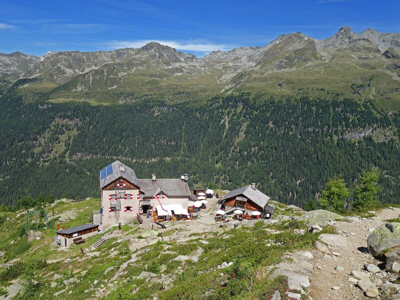
Above the Val del Rio near Riva di Tures lies the Roma Hut at 2276 metres a.s.l.: A path connects the village in the valley with the refuge at the foot of Mt. Collalto, the highest peak in the Rieserferner Group
Image gallery: Hike to the Rifugio Roma hut
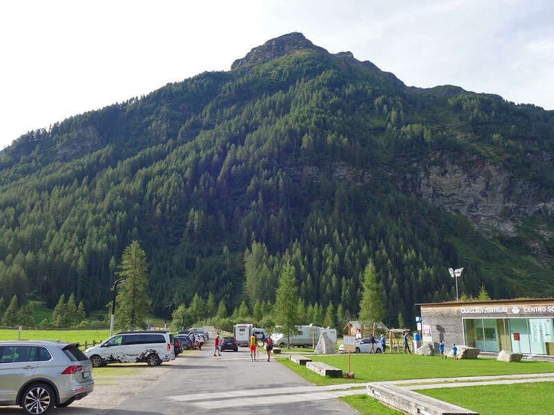
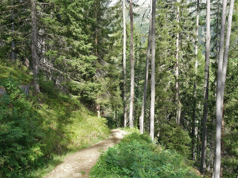
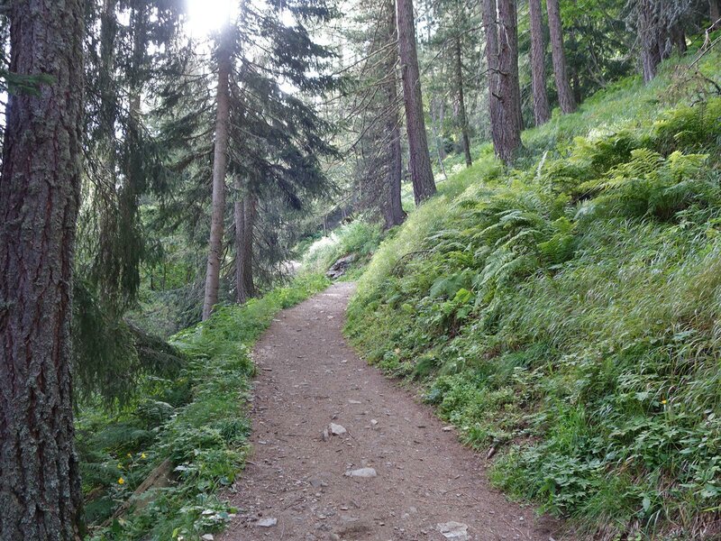
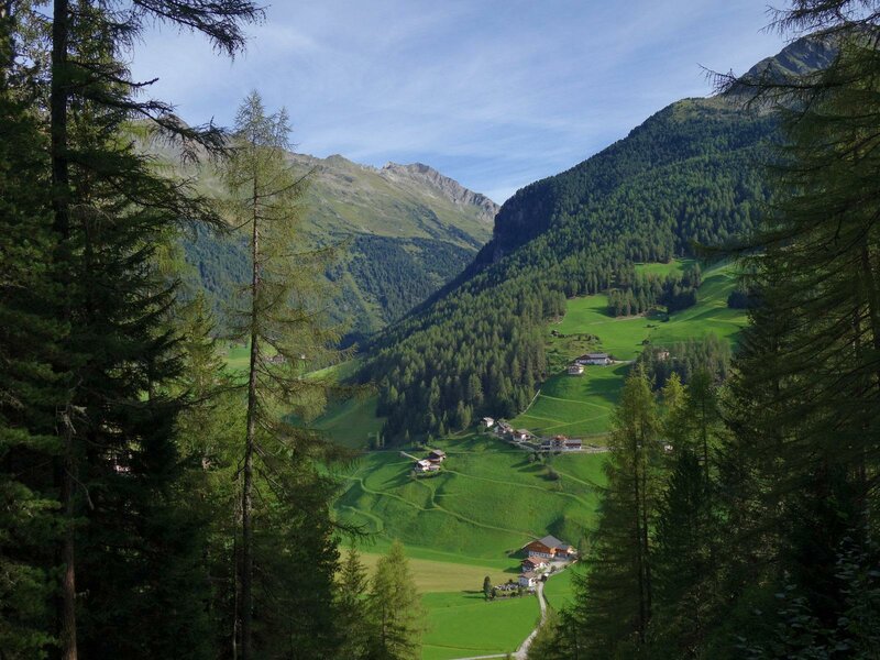
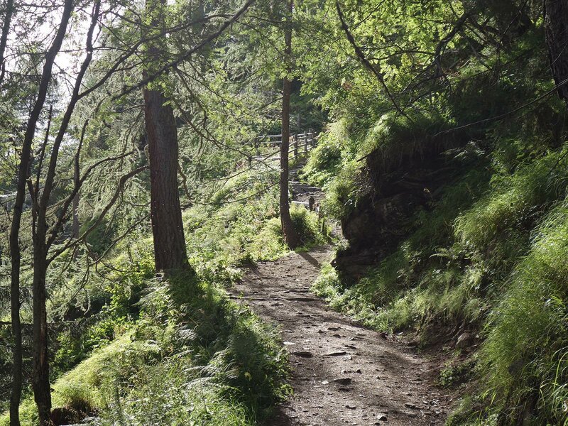
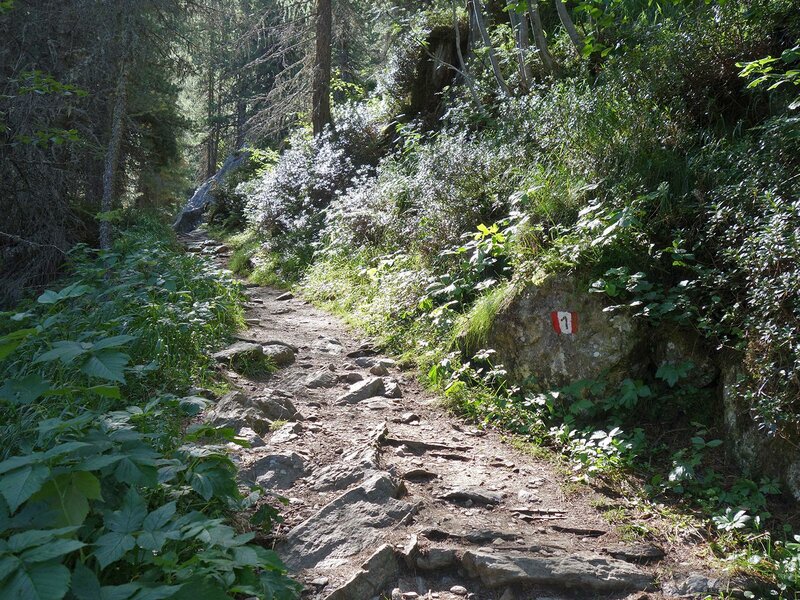
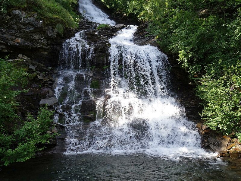
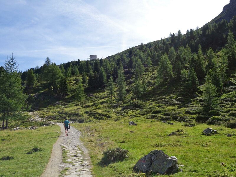
We start our hike to the Rifugio Roma (Kasseler Hütte) at the parking space of the cross-country skiing centre in Riva di Tures. Path no. 1 leads us directly to our destination. After the bridge over the Rio di Riva stream, we walk uphill. The path leads through the forest past the Terna di Sotto Mountain Hut to an enchanting little waterfall. Later, the trail becomes flatter and we reach the timberline after the fork into the Val del Rio valley.
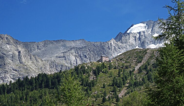
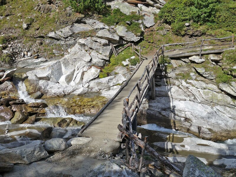
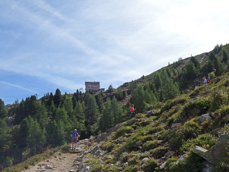
Finally, the path ascends again, after a bridge over the Rio Covoni, the last 100 metres in altitude to the rock terrace on which the mountain hut stands. The refuge was built at the end of the 19th century. After World War I, the hut was assigned to the Roman Section of the Italian Alpine Club CAI and is therefore also known as "Rifugio Roma".
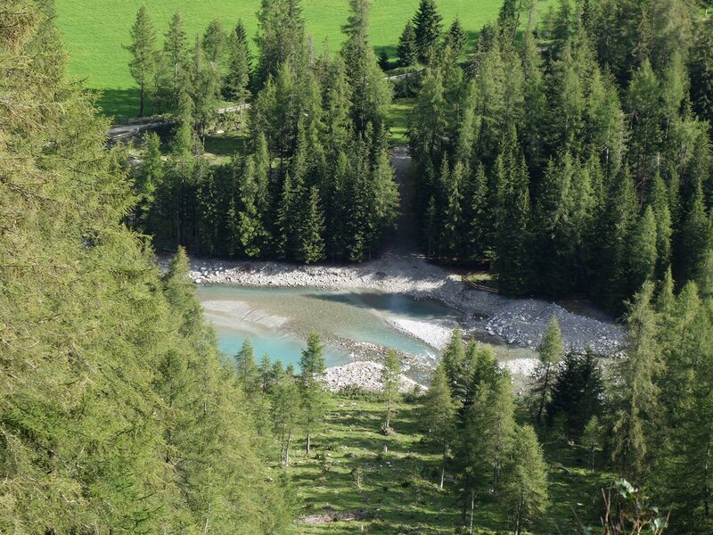
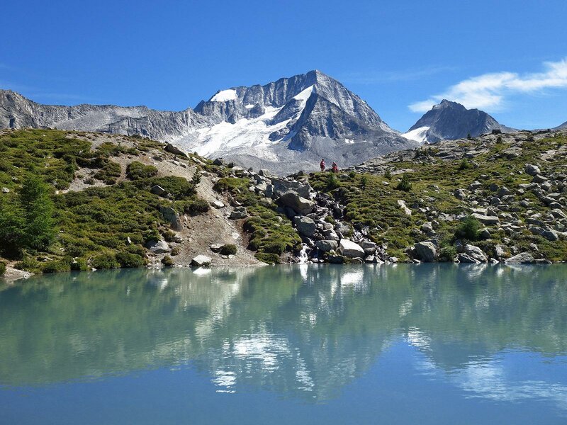
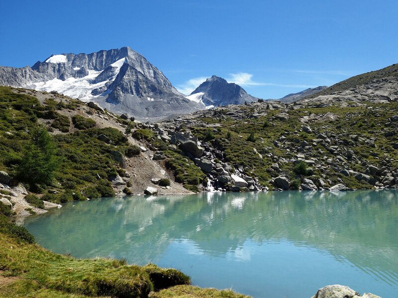
Whether it's an afternoon snack with Speck or other homemade South Tyrolean specialities - the hut is not without reason a popular stop for locals and holidaymakers alike. Only 5 minutes from the hut you can find a small, turquoise-blue mountain lake, Lake Covoni. With the towering Mt. Collalto towering behind it, it forms a beautiful photo motif.
Those who invest another 20 minutes to reach the viewing rock of the Monte Covoni will be rewarded with a fantastic view on the highest peaks of the Rieserferner Group, Mt. Collalto, Mt. Collaspro, Mt. Sassolungo di Collalto, Mt. Magro and Mt. Nevoso and the wider surroundings.
Author: AT
-
- Starting point:
- Riva di Tures, Nordic Center
-
- Overall time:
- 03:50 h
-
- Total route length:
- 9,7 km
-
- Altitude:
- from 1.536 m to 2.267 m
-
- Altitude difference:
- +737 m | -737 m
-
- Signposts:
- no. 1
-
- Destination:
- Rifugio Roma / Kasseler Hütte
-
- Resting points:
- Rifugio Roma / Kasseler Hütte
-
- Track surface:
- Hiking trail
-
- Recommended time of year:
- Jan Feb Mar Apr May Jun Jul Aug Sep Oct Nov Dec
-
- Download GPX track:
- Hike to the Rifugio Roma hut
If you want to do this hike, we suggest you to check the weather and trail conditions in advance and on site before setting out.