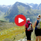
This hike on the sunny side of Valle Aurina leads us through beautiful woods up to the Waldner Mountain Hut and Lake Selva
Image gallery: Hike from Predoi to the Lago della Selva lake
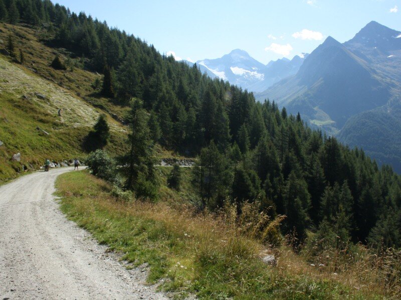
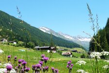
The starting point for our hike in the upper Valle Aurina is the car park below the church in Predoi. Starting from the village centre, we follow the signs for the Waldner Hut, initially on a paved path. Above the roofs of Predoi, the road turns into a forest track leading into the woods.
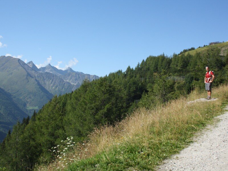
The shade is refreshing in midsummer. A small path signposted "Waldner Alm" soon branches off to the left. This steep trail runs through the lovely Ameiser Wald, a coniferous forest. We quickly gain altitude as we climb over rocks, roots, and pine cones. The forest then clears and the path brings us back to the forest track, where we can already see the Waldner Hut.
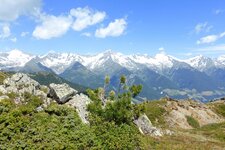
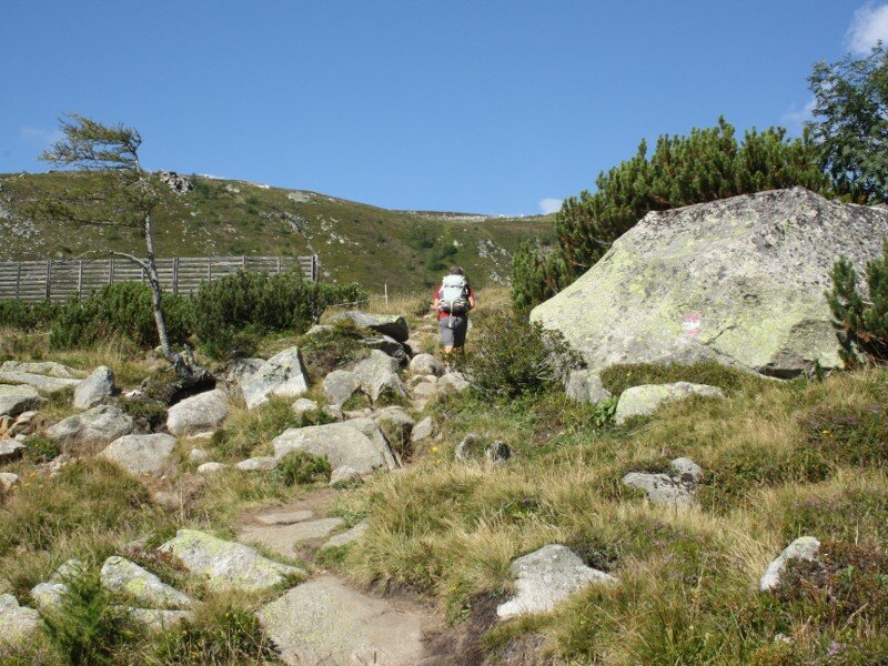
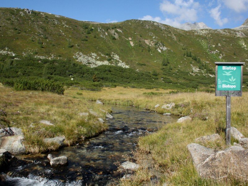
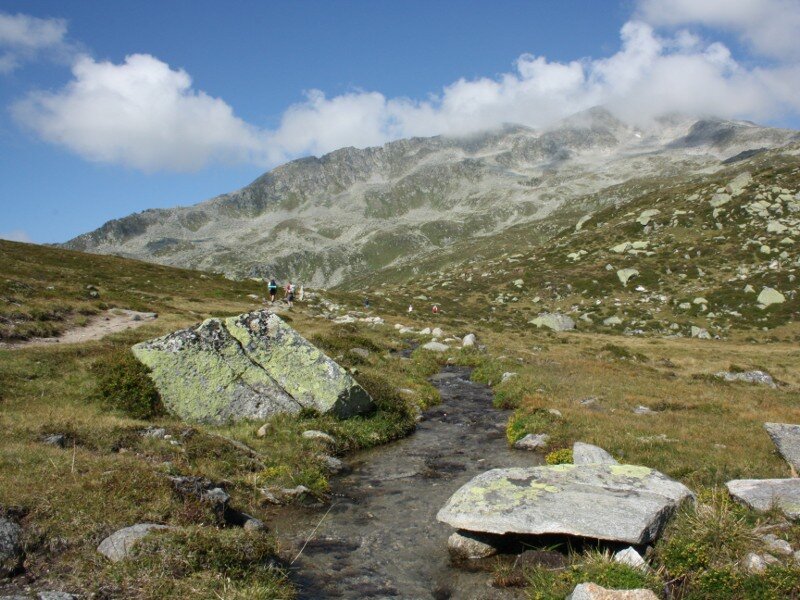
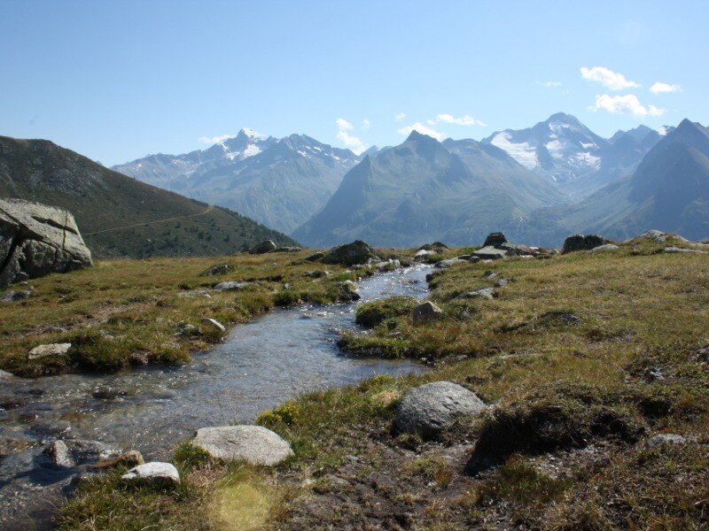
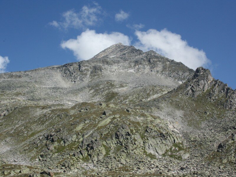
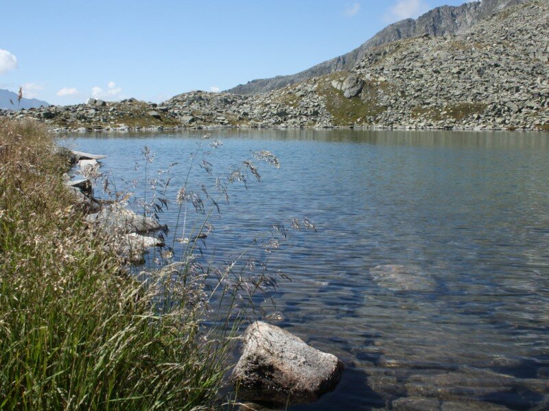
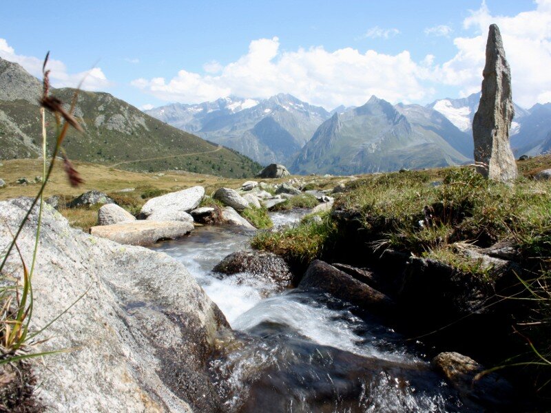
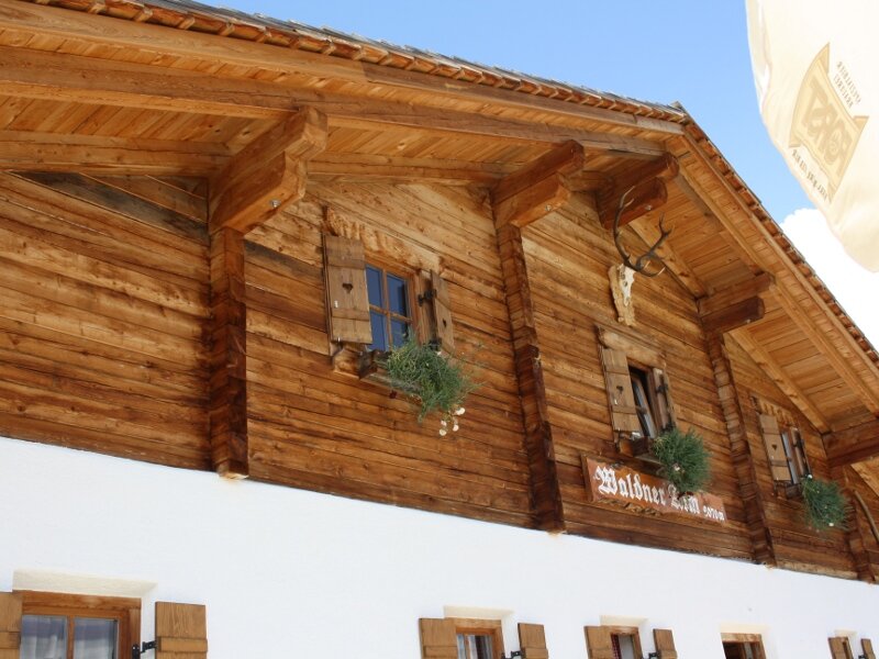
From the mountain hut, there is a wonderful panoramic view of the three-thousand-metre peaks of the upper Valle Aurina, such as Mt. Pizzo Rosso and Mt. Picco dei Tre Signori. The route then continues along a very well-maintained hiking trail through a wetland habitat with the babbling Weiherbach stream. We can already make out the basin of Lake Selva (Waldner See), which provides motivation for the final few metres of ascent. Soon the untouched Lake Selva with its stony and grassy banks lies before us - it is now time for a long rest.
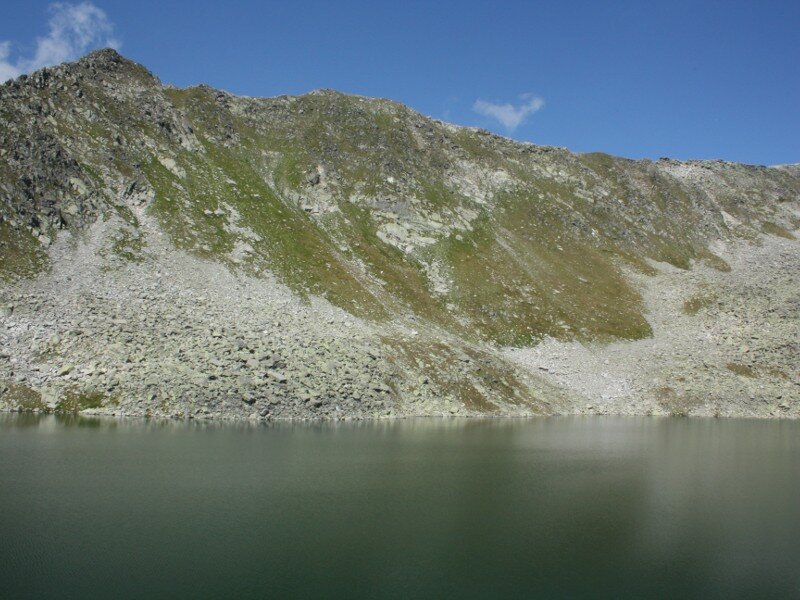
Wading in the lake water is only advisable for the hardy, as the temperature is more than just refreshing. The Sauwipfel and Monte Fumo in the main ridge of the Zillertal Alps tower above the pristine mountain lake, where we watch the fish (private fishery) and enjoy the peace and quiet.
The alpine lake at an altitude of 2,338 metres is the largest one in the Valle Aurina, covering an area of almost five hectares. We follow the same path down to the mountain hut. After stopping on the sun terrace, we opt for the longer but more leisurely descent via the forest track.
Author: BS
Experienced: August 2011
Last update: 2026
-
- Starting point:
- Predoi (1,475 m a.s.l.)
-
- Overall time:
- 04:05 h
-
- Total route length:
- 11,9 km
-
- Altitude:
- from 1.475 m to 2.338 m
-
- Altitude difference (uphill | downhill):
- +863 m | -863 m
-
- Route:
- Predoi - Waldner Hut - Wiesermoos biotope - Lake Selva - Waldner Hut - Predoi
-
- Signposts:
- no. 16B, 15A
-
- Destination:
- Lake Selva (2,338 m a.s.l.)
-
- Resting points:
- Waldner Mountain Hut
-
- Recommended time of year:
- Jan Feb Mar Apr May Jun Jul Aug Sep Oct Nov Dec
-
- Download GPX track:
- Hike from Predoi to the Lago della Selva lake
-
- More information:
- The overall time shown above refers to the walking time only, not including breaks or stops. Private fishing in Lake Selva: Tickets available by calling +39 340 156 2829.
If you want to undertake this hike, we recommend checking the weather and trail conditions in advance and on site before starting this hike!