The Rifugio Roma sits above the Val del Rio valley: A path connects Riva di Tures to the mountain hut at the foot of the Monte Collalto
Image gallery: Hike to the Rifugio Roma hut
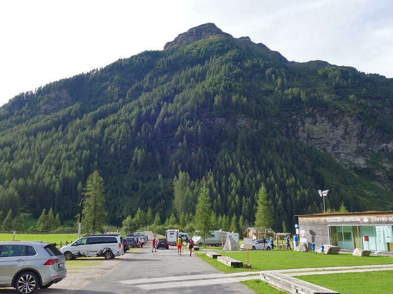
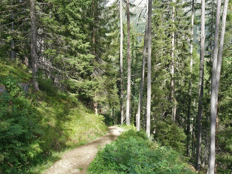
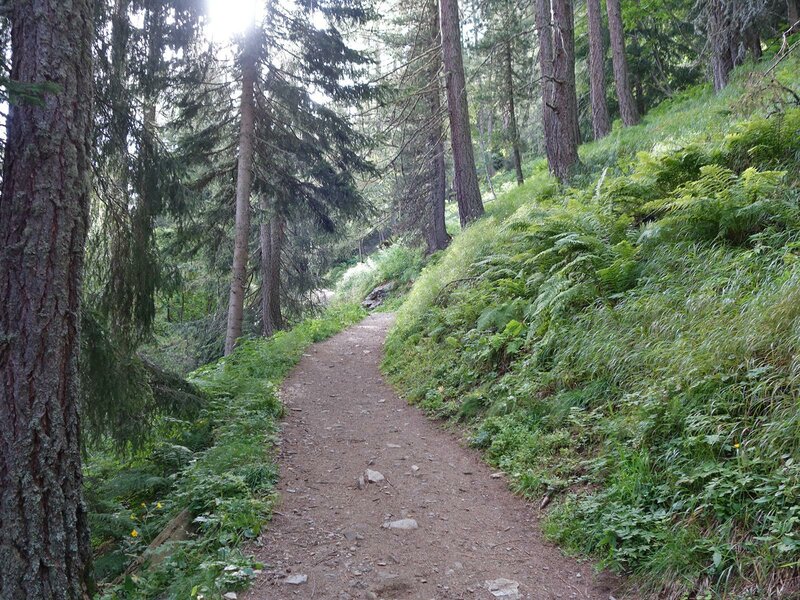
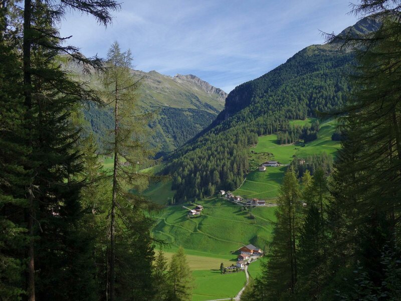
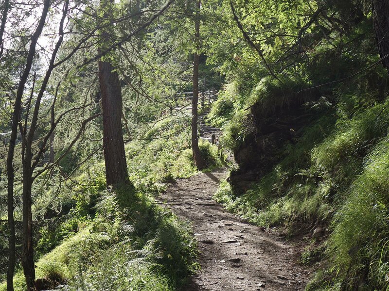
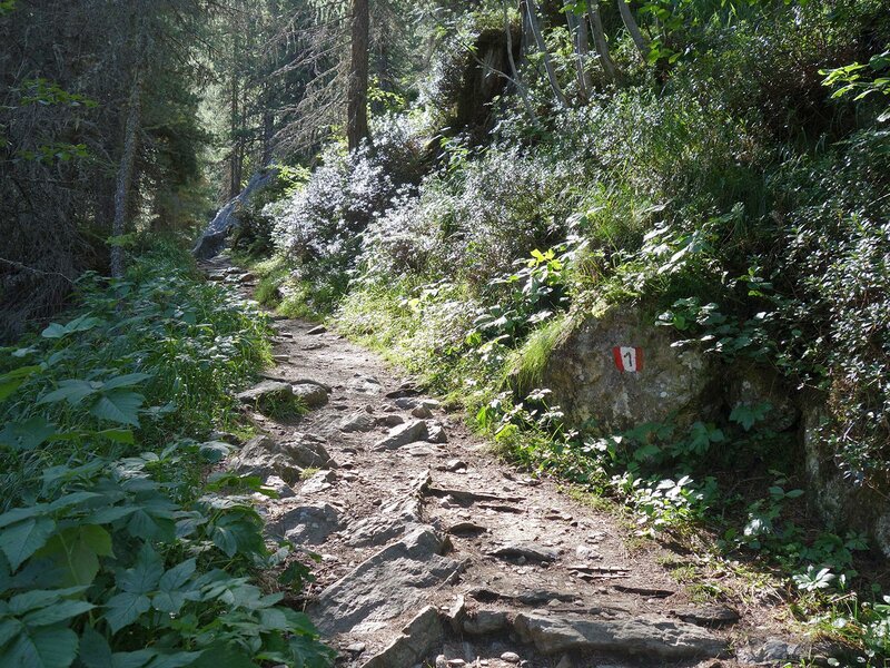
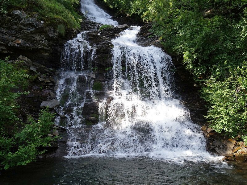
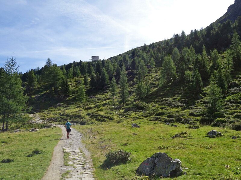
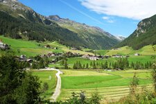
We start our hike to the Rifugio Roma (Kasseler Hütte) at the car park next to the cross-country skiing centre in Riva di Tures. Path no. 1 leads us directly to our destination. We walk uphill after the bridge over the Rio di Riva. The path winds through the forest, past the Lower Terner Hut at 1,874 metres above sea level, until it reaches a lovely waterfall on the Rio di Malga Terner stream.
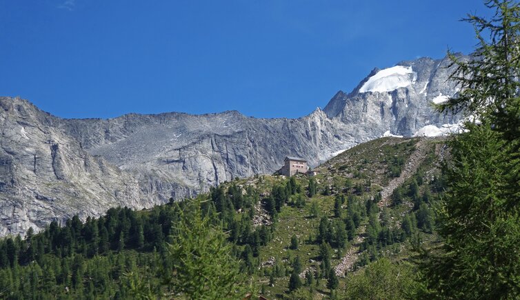
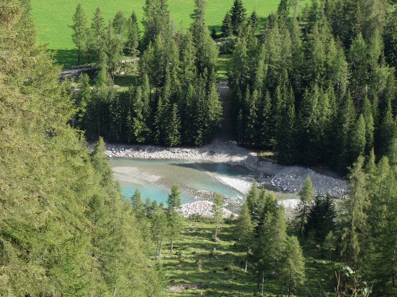
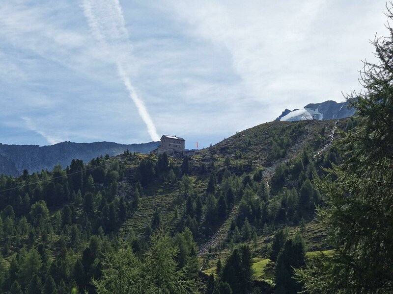
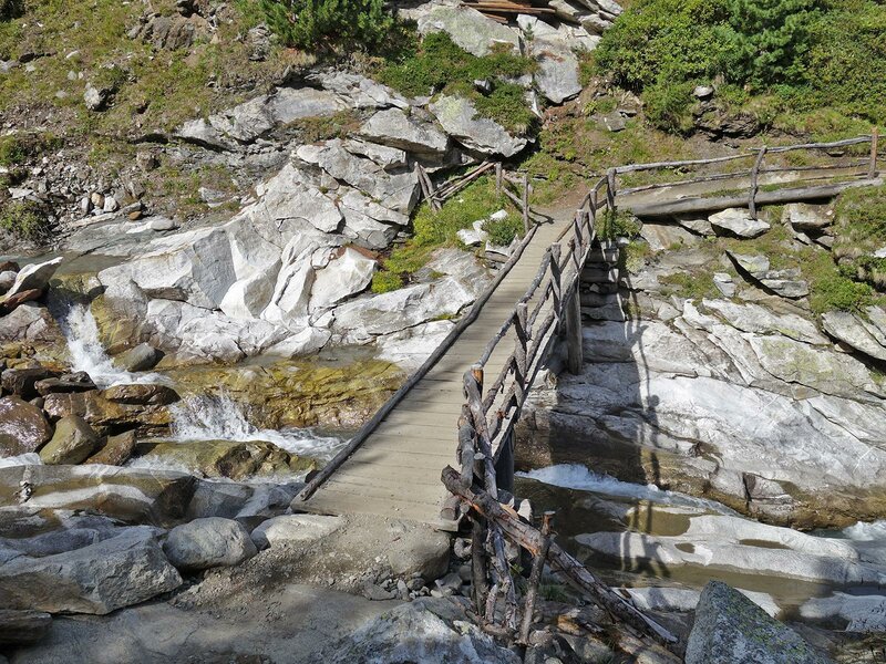
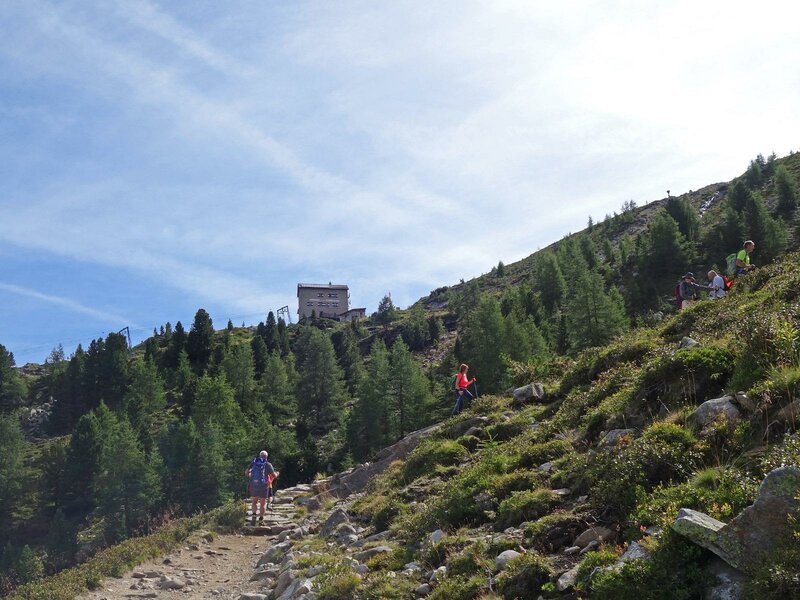
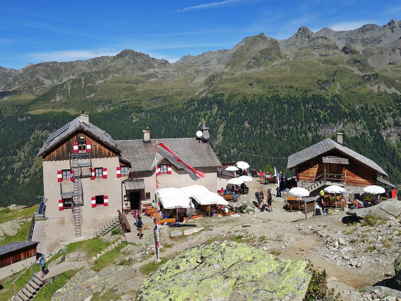
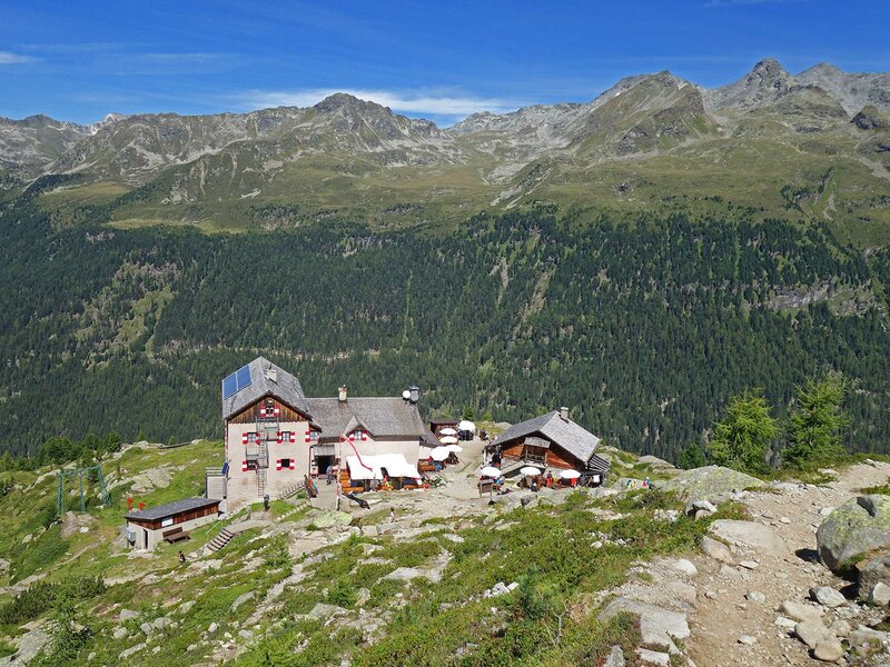
The path gradually levels out, and we reach the tree line after the junction leading into the Val del Rio. Finally, the route climbs once more. After crossing a bridge over the Rio Covoni stream, we tackle the last 100 metres of elevation to reach a rocky terrace where the mountain hut stands. Built at the end of the 19th century at 2,276 metres above sea level, the Roma Mountain Hut was assigned to the Rome section of the Italian Alpine Club (CAI) after the First World War.
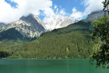
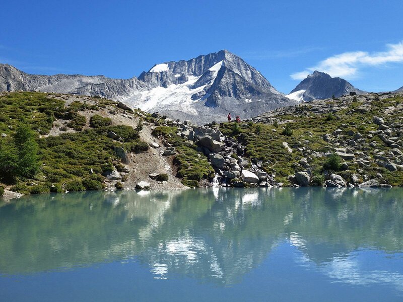
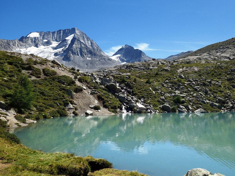
Whether for a traditional cold meat platter or homemade South Tyrolean specialities such as Speck dumplings with goulash, the hut is a popular place to stop for both locals and holidaymakers. Lake Covoni is a small, turquoise mountain lake located just five minutes from the hut. With the Monte Collalto towering behind it, the lake creates a beautiful photo opportunity.
Those who spend another 20 minutes climbing the Monte Covoni are rewarded with a fantastic view of the highest peaks of the Rieserferner Group - the Monte Collalto, Monte Collaspro, Sasso Lungo di Collalto, Monte Magro, and Monte Nevoso - as well as the wider surroundings.
Author: AT
Experienced: August 2020
Last updated: 2026
-
- Starting point:
- Riva di Tures, Nordic Center car park (1,536 m a.s.l.)
-
- Overall time:
- 03:50 h
-
- Total route length:
- 9,7 km
-
- Altitude:
- from 1.536 m to 2.276 m
-
- Altitude difference (uphill | downhill):
- +737 m | -737 m
-
- Signposts:
- no. 1, "Kasseler Hütte"
-
- Destination:
- Roma Mountain Hut (2,276 m a.s.l.)
-
- Resting points:
- Roma Mountain Hut (June to October)
-
- Recommended time of year:
- Jan Feb Mar Apr May Jun Jul Aug Sep Oct Nov Dec
-
- Download GPX track:
- Hike to the Rifugio Roma hut
-
- More information:
- The overall time shown above refers to the walking time only, not including breaks or stops.
If you want to undertake this hike, we recommend checking the weather and trail conditions in advance and on site before starting this hike!