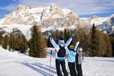
A snowshoe hike through the lonely Avinga Valley, on the sunny slope of Tubre, at the border of South Tyrol to Grisons in Switzerland
Image gallery: Snowshoe hike in the Valle Avinga valley
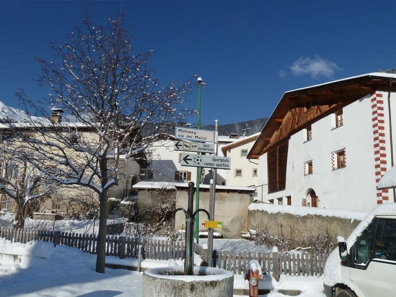
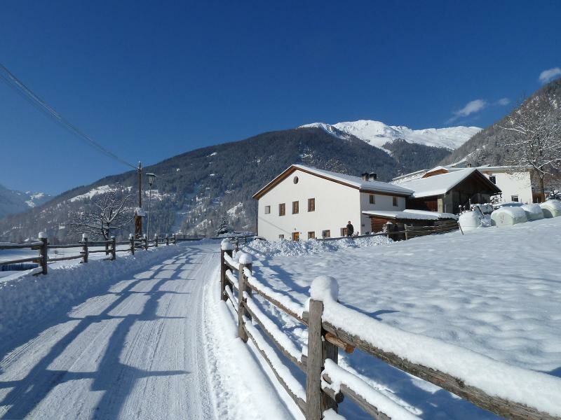
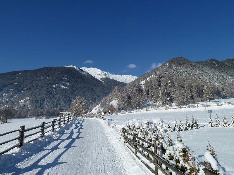
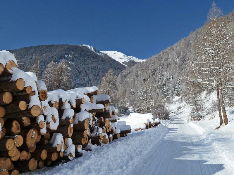
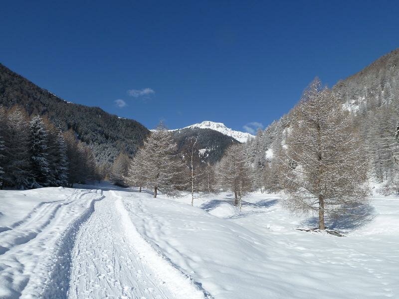
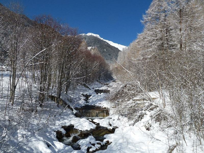
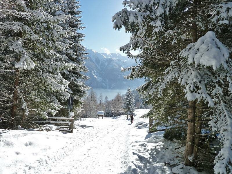
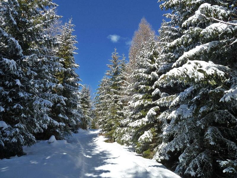
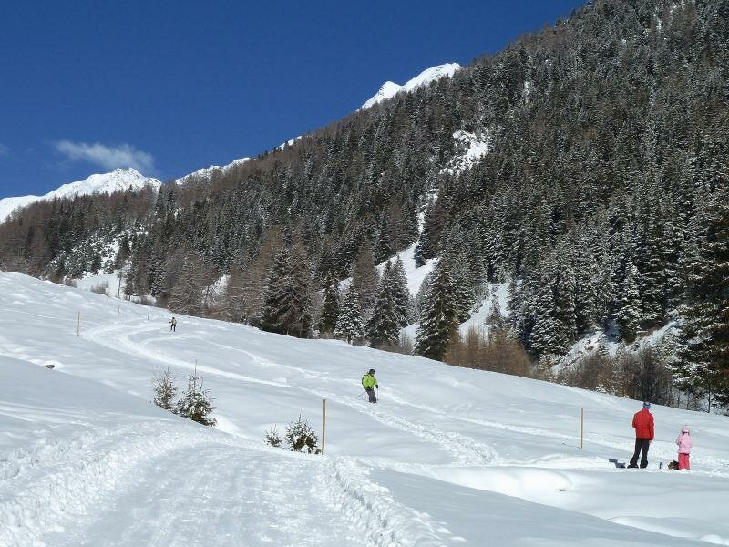
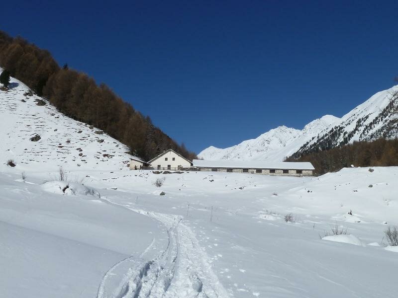
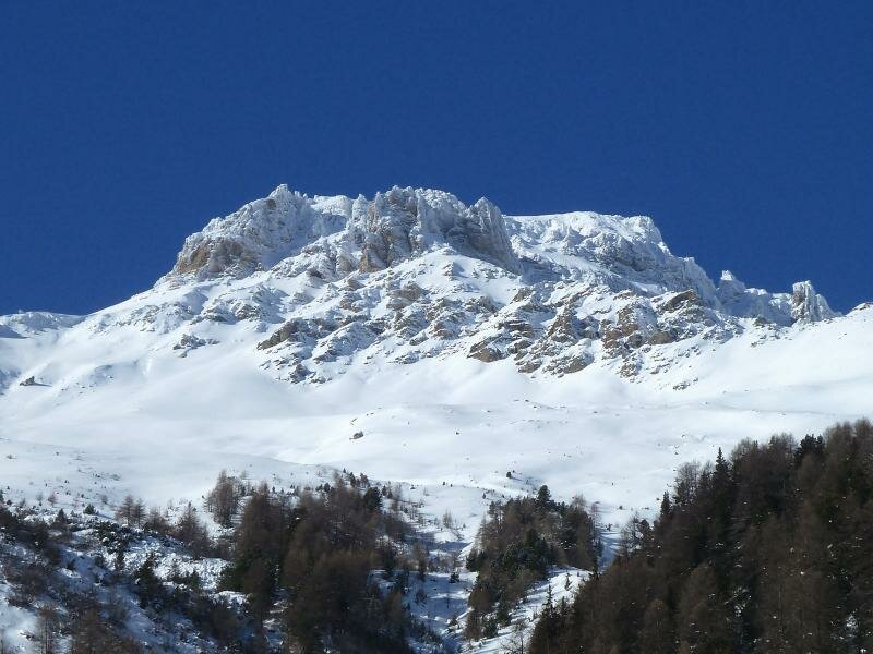
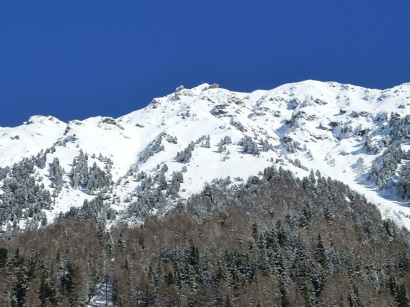
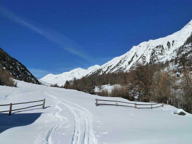
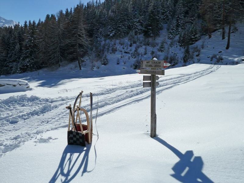
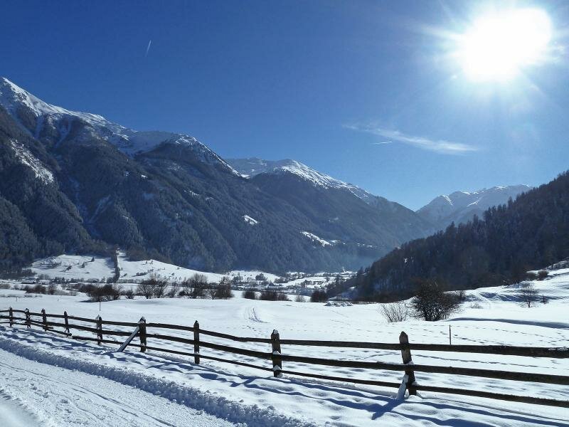
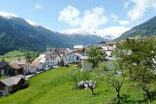
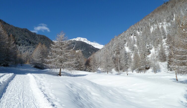
Starting point is the village centre of Tubre in the Val Monastero valley (Taufers im Münstertal). The marker no. 1 towards the Passo Cruschetta - Avinga Valley leads us to the west, further along the Via Avinga road across snowy meadows. We take the bridge over the Rio Vallarola creek and carry on at the western bank of the creek into the valley. Slowly uphill we walk through larch and spruce forests. Shortly before we reach our destination the Avinga Valley (Avingatal) becomes wider and on the left we can watch 3,072 m high Mt. Starlex.
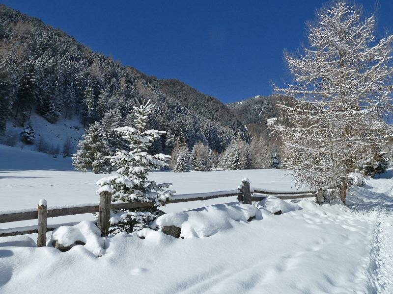
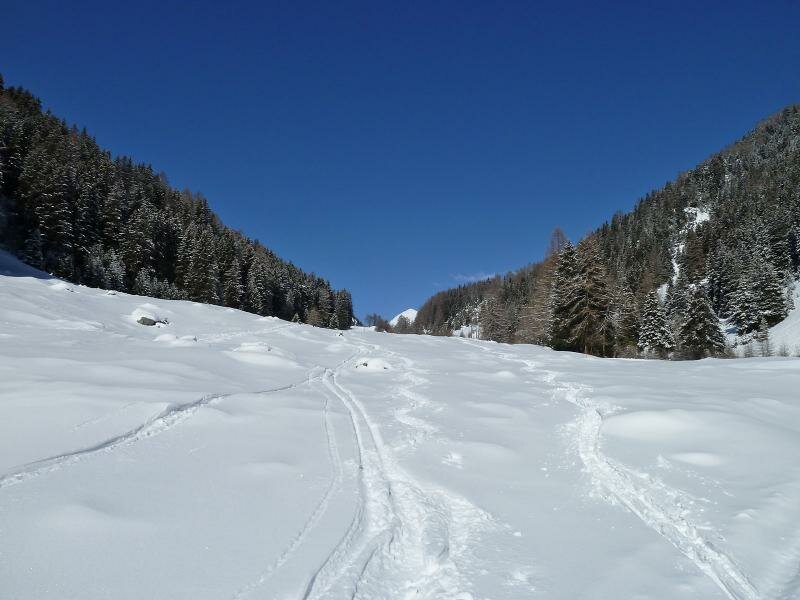
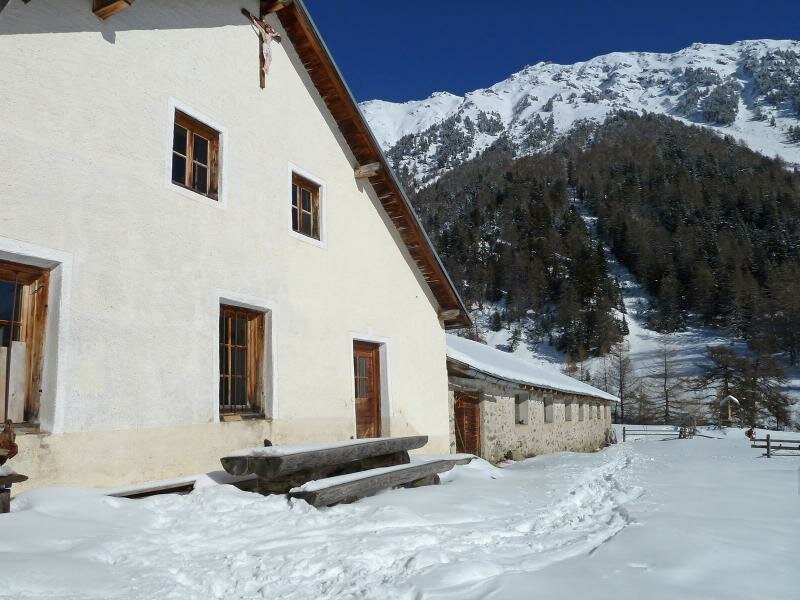
On the opposite side the summit cross of Mt. Cima dei Greppi in the Sesvenna Alps is visible. The last 300 m to the Magitzer Mountain Hut (Magitzeralm) we walk through deep snow. Ambitious snow shoe hikers can walk further to the Mitter Mountain Hut, the Praviert Mountain Hut and to the Cruschetta Pass (2,297 m a.s.l.), this takes about two more hours and 450 m in altitude.
But we stay at the Magitzer Hut and enjoy our picnic, before we start back to Tubre village, through the fantastic winter scenery. Notice: The data indicated refer to the entire route on foot.
Author: AT
-
- Starting point:
- Tubre in the Val Monastero valley, village centre
-
- Overall time:
- 03:20 h
-
- Total route length:
- 9,5 km
-
- Altitude:
- from 1.249 m to 1.828 m
-
- Altitude difference (uphill | downhill):
- +573 m | -573 m
-
- Signposts:
- no. 1 (Val d'Avigna)
-
- Destination:
- Mangitsalm
-
- Recommended time of year:
- Jan Feb Mar Apr May Jun Jul Aug Sep Oct Nov Dec
-
- Download GPX track:
- Snowshoe hike in the Valle Avinga valley
We highly recommend checking the weather conditions in advance and on site before starting your tour. Don’t forget to check the current avalanche forecast!