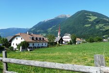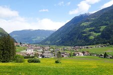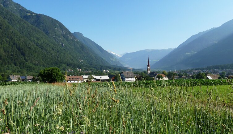
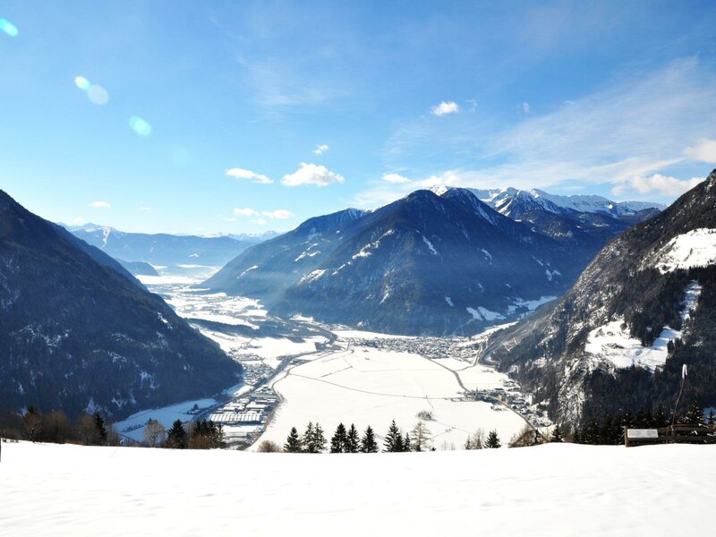
Gais is the first municipality at the entrance to the Valli di Tures and Aurina in the Vedrette di Ries-Aurina Nature Park

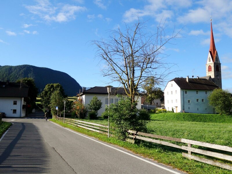
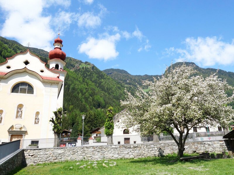
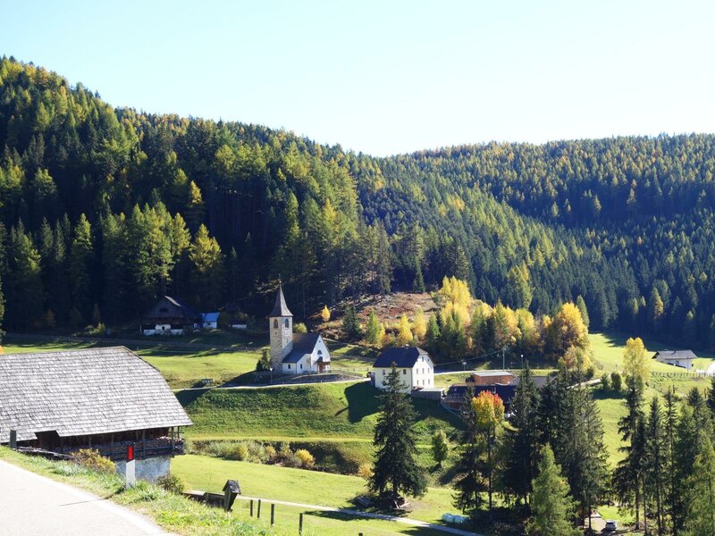
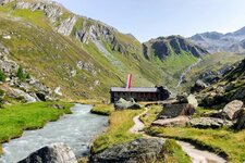
From Brunico, the Aurino River makes its way into the Tures and Aurina Valleys, with the valuable Aurino Floodplain Forest Biotope on its banks. The first municipality on the way towards Casere at the head of the valley is Gais. It extends from the main village of Gais via Villa Ottone to the hamlets of Lana di Gais, Rio Molino - which is actually an entire valley with inviting alpine pastures and mountain huts - and Montassilone.
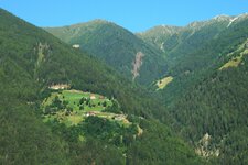
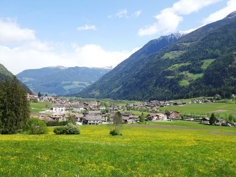
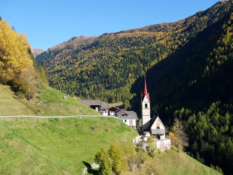
The farms seem to cling to the slopes high above the Brunico basin, inmidst the Vedrette di Ries-Aurina Nature Park.
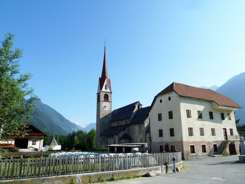
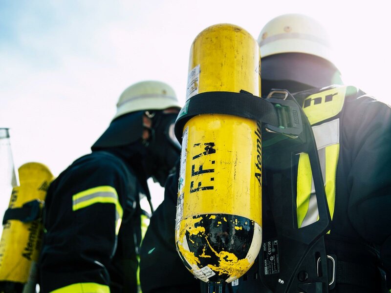
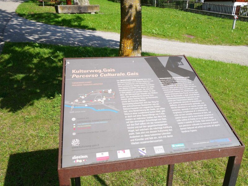
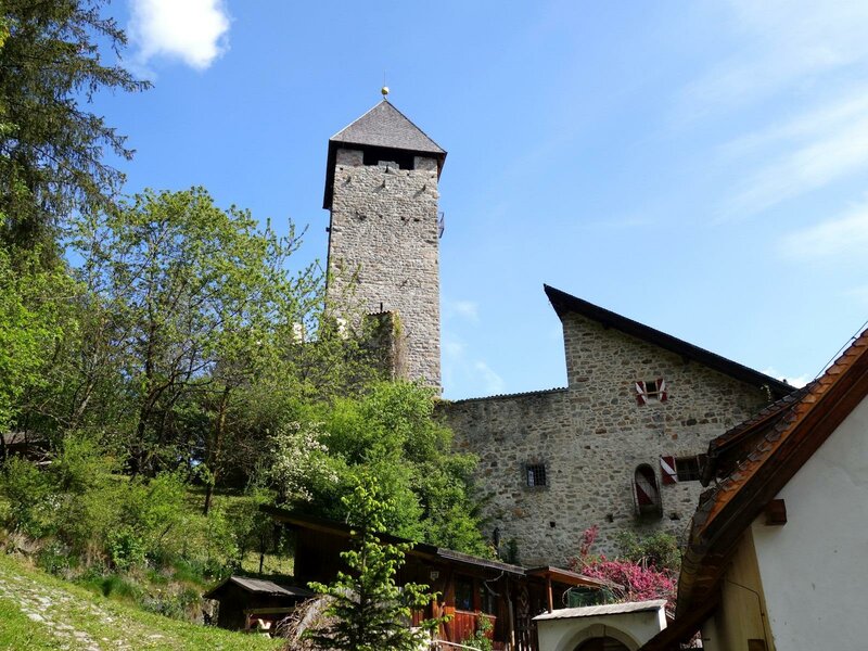
Several old castles here tell of the valley's long history. One of them is Chela Castle, now almost overgrown, and another is Casanova Castle, to which the Gais Culture Trail leads. Villa Ottone Castle also has much to relate, as the border between Tures in Tyrol and Villa Ottone-Neuhaus (Gorizia) once ran here. If you are more interested in museums, then the Fireman's Helmet Museum is a special place to visit: Around 700 helmets, fire axes, officers' sabres, and rare uniforms can be admired here.
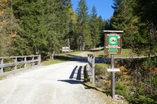
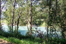
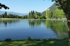
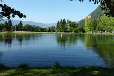
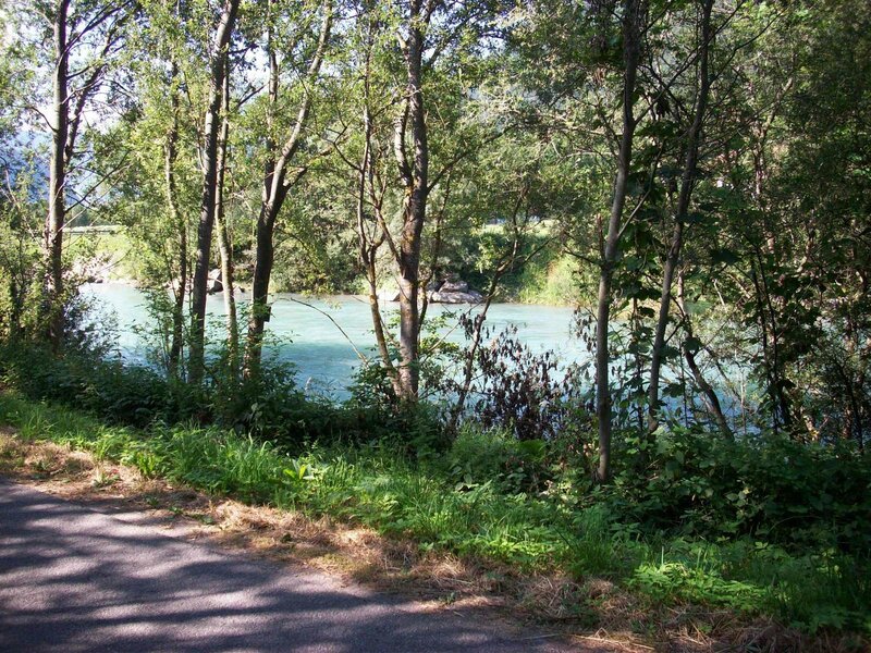
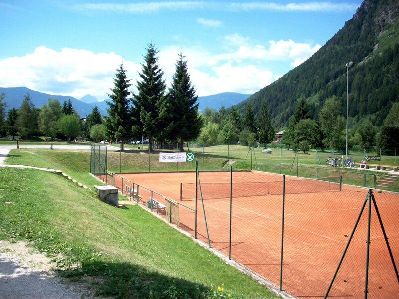
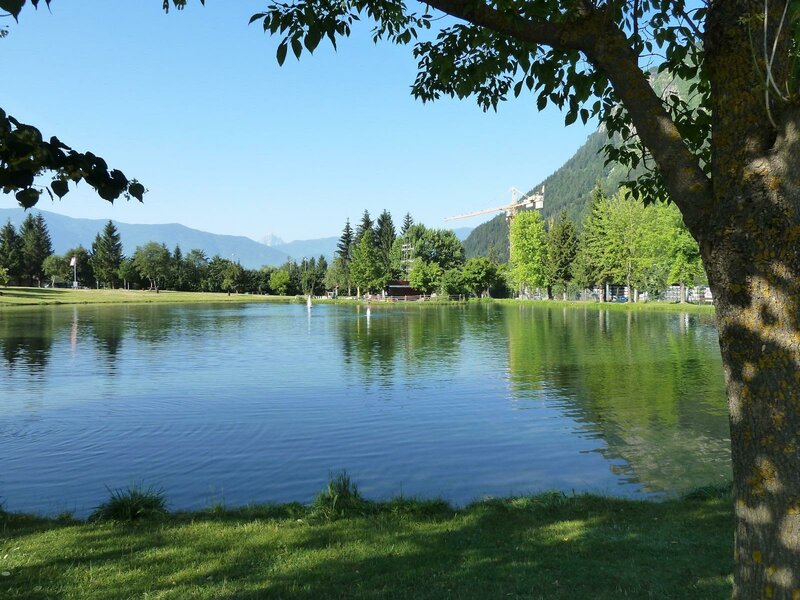
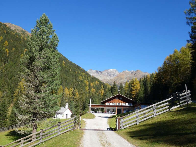
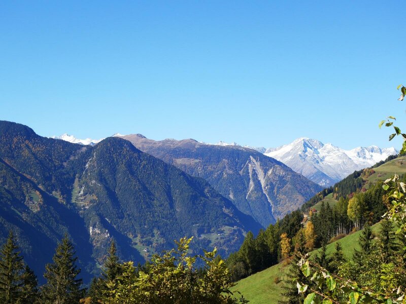
The municipality is an ideal starting point for exploring the mountain landscape of the Valli di Tures and Aurina, with its approximately 80 three-thousander peaks. Near Gais and Villa Ottone, both the Aurino Adventure Trail and the Tures and Aurina Valleys Cycle Path pass by. For cooling off in summer, the popular "Baggalocke" pond with shade-giving trees is located on the cycle path.
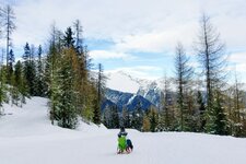
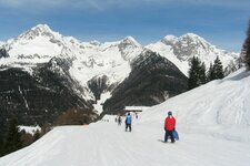
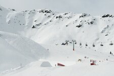
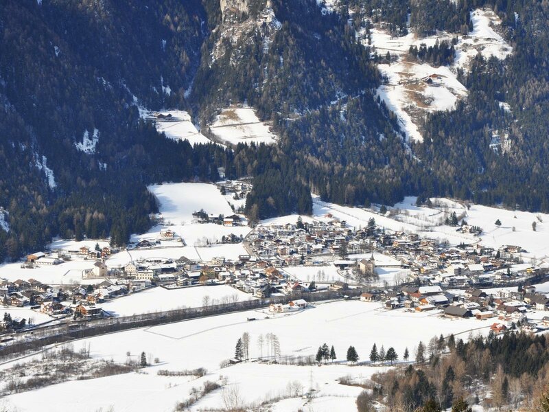
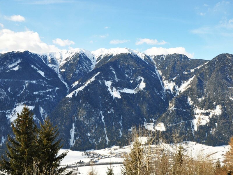
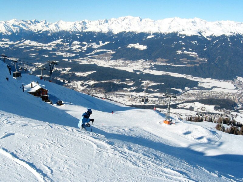
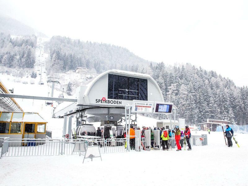
In winter, Gais is situated between the Plan de Corones winter sports centre further down the valley and the SkiWorld Ahrntal further up the valley, which combines the Klausberg and Speikboden Skiing Areas. In the village itself, there are three toboggan runs, including the 4-kilometre-long Valle di Rio Molino toboggan run from the Huber Mountain Hut.