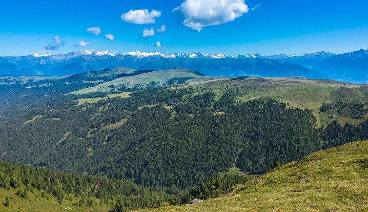
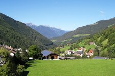
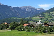
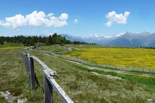
In the Valle Isarco valley one of the most beautiful spots of South Tyrol is located: the Rodengo and Luson Alp
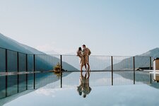
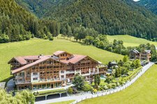
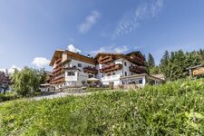
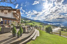
Image gallery: Luson Alp
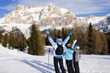
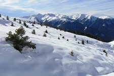
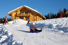
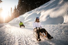
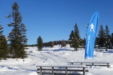
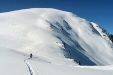
The largest part of the 2,300 hectares large alpine pasture area, widely known as Rodengo Alp and Luson Alp, is located on the municipal territory of Luson. From the Herol, Tulper-Gampis, Oberflitt, Schweiger Böden and Petschied car parks you can reach the Luson Alp, which stretches from the Oberhaus Hut to Mount Muro in the Luson Mountains, ideal for hikes in summer and solitary snowshoe tours and ski tours in winter. The area features also the Luson Alp cross-country ski track, the Rodengo and Luson Alp panorama track and three toboggan runs in the Valle Isarco.
The alpine pastures are also interesting from a historical point of view: Traces of hunters' resting places from the Stone Age were found here. An old border path, called Konfinweg, divides the alpine pasture area into the smaller northern areas belonging to Rodengo, the Rodengo Alp with the Roner, Rastner and Starkenfeld Huts, covering 15% of it, and the rest of the wide alpine pasture area of the Luson Alp. The 2,194 metres high Mt. Cima Lasta can also be reached from here.
A highlight on the Rodengo and Luson Alp is the chapel at the Pianer Kreuz, whose foundation stone was consecrated by Joseph Ratzinger, then Cardinal. During his visit as Pope Benedict XVI to Bressanone in 2008, he blessed the chapel from a helicopter. A special feature of the alpine pasture farming in Luson is that, in contrast to the otherwise widespread communal alpine pastures, it is still small-scale and owned by the farmers of Luson. About 80 pastures are spread across the high plateau, where alpine farming is still actively practised today.


.JPG)


