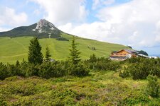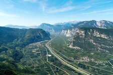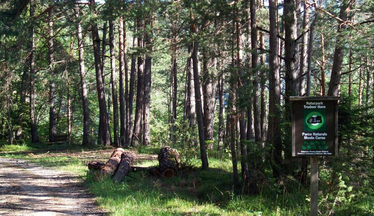
The Monte Corno Nature Park, the southernmost and lowest nature park in South Tyrol with its four interpretive nature trails, is situated between 300 m and 1,700 m a.s.l
Image gallery: Monte Corno Nature Park
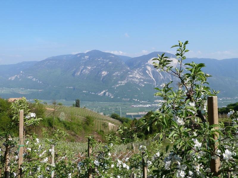
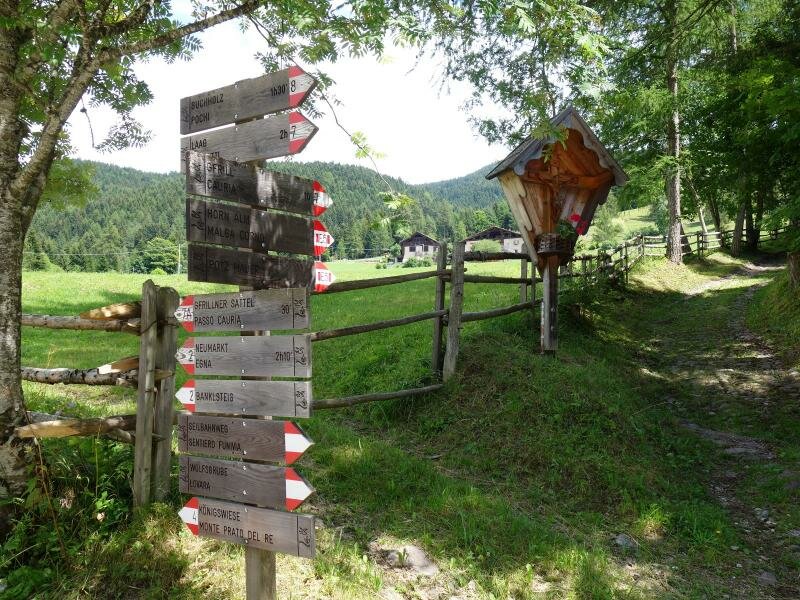
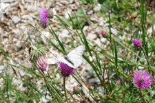
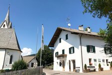
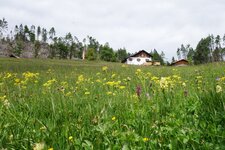
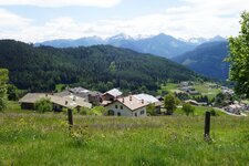
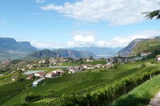
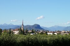
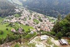
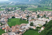
The Monte Corno or Trudner Horn Nature Park includes the villages of Anterivo, Montagna, Egna, Salorno and Trodena in the south of South Tyrol. The protected area is bordered to the north by the Fiemme Valley in Trentino, to the south-east by the Valle di Cembra and to the west by the Valle dell'Adige between Egna and Salorno. It owes its name to the Monte Corno, a 1,781 m high peak in the Fiemme Mountains. Due to its geographical position and the sub-Mediterranean climate, the area features the most biodiverse flora and fauna of all nature parks in South Tyrol.
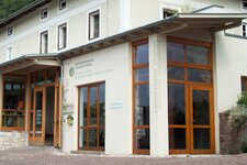
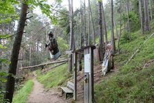
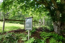
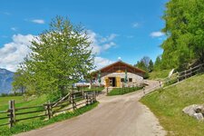
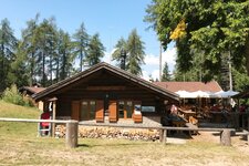
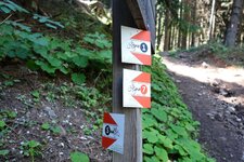
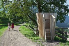
The building of an old electric mill in Trodena houses the Monte Corno Visitor Centre, whereas the second information point can be found in Cauria, a small mountain village above Salorno. Four theme paths make you discover the wonderful natural landscape: the 2 km long Trodena Legend Trail and the Legend Trail in Anterivo, as well as the Casignano Circular Trail which leads past the "Kanzel" viewpoint, and the Kneipp recreational space "Sandegg" in Anterivo. Also wonderful tours show you the beauty of the nature park, such as the hike in the Monte Corno Nature Park, the one to the Cislon Mountain Hut or the hike via the Passo Cisa to the Anterivo Mountain Pastures.
Founded in: 1980
Surface: 6,851 hectares
Altitude difference: 1,571 metres
Area: in the south of South Tyrol
Visitor centre: in Trodena, further information point in Cauria