An old connecting path in the Monte Corno Nature Park has been brought back to life, leading us to the Krabes Alm in Anterivo
Image gallery: Hike in the Monte Corno Nature Park
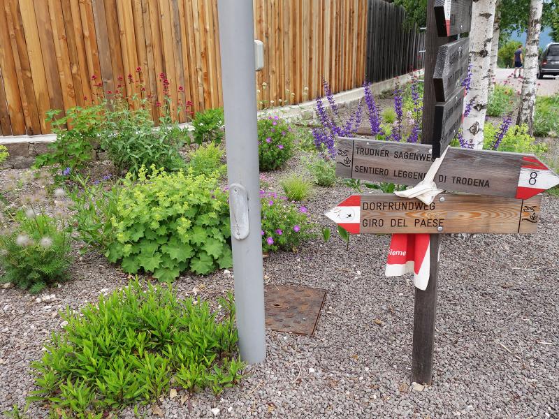
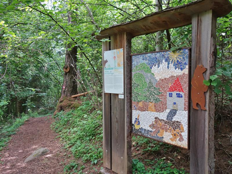
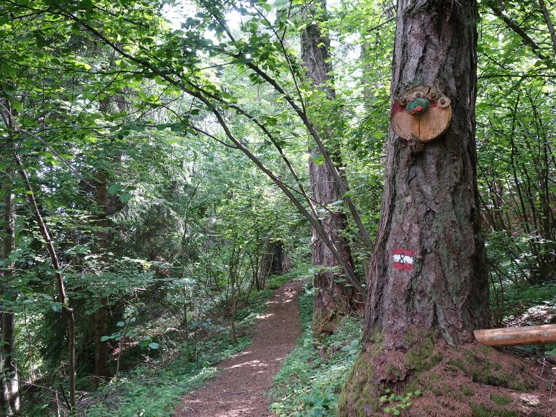
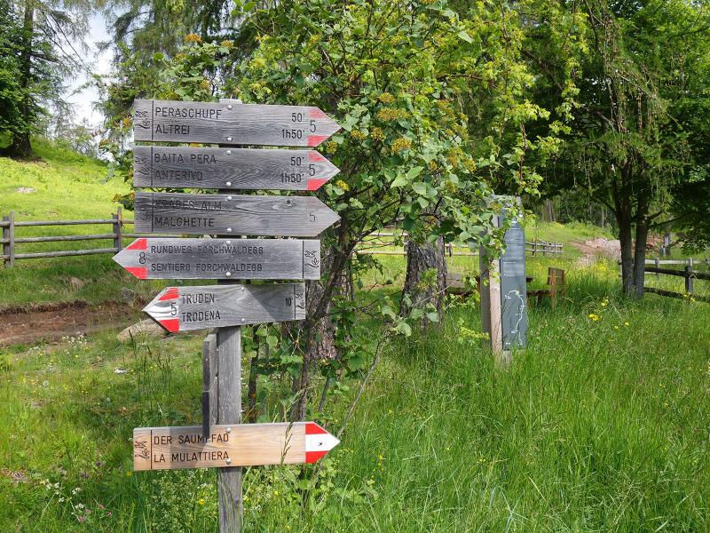
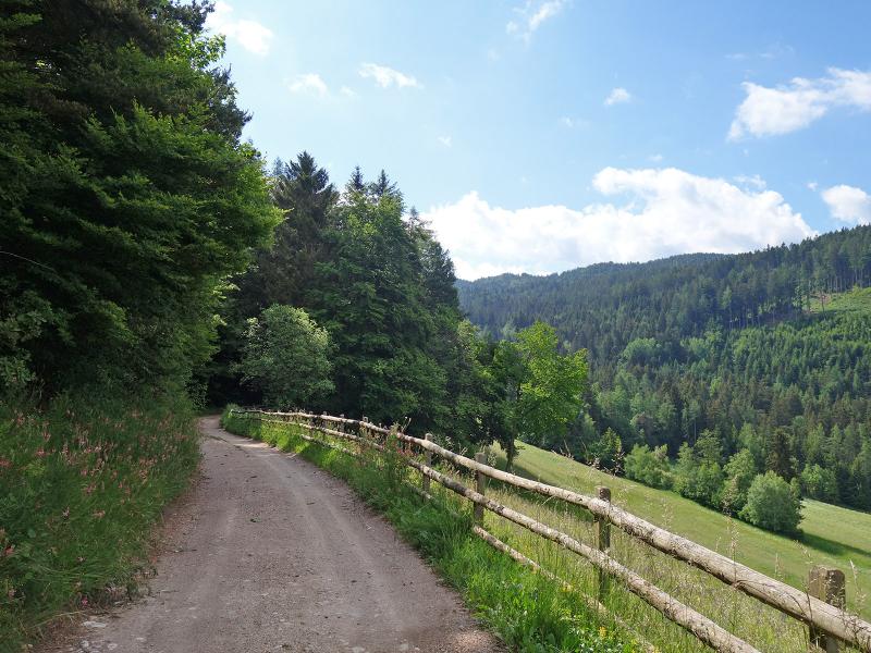
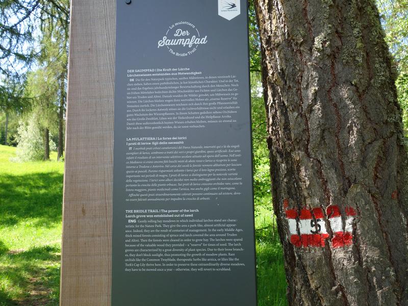

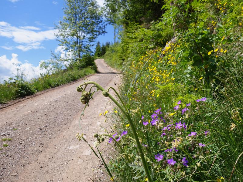
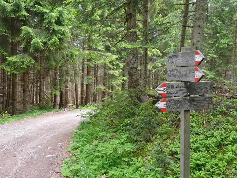
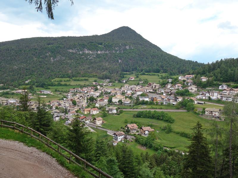
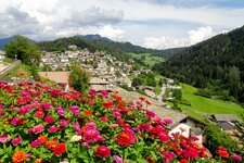
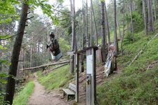
A mule track through the forest connects Trodena in the nature park with Anterivo, the only municipality in the Val di Fiemme that belongs to South Tyrol. Our hike, which we extended into a circular route, begins at the car park above Trodena. We follow signpost no. 8, which first leads us to the Forchwald circular path, the Trodena Legend Trail. This theme path joins the forest road to the Rungganö Cross near a pond. We follow this uphill (no. 5).
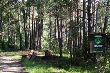
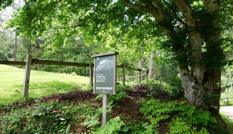
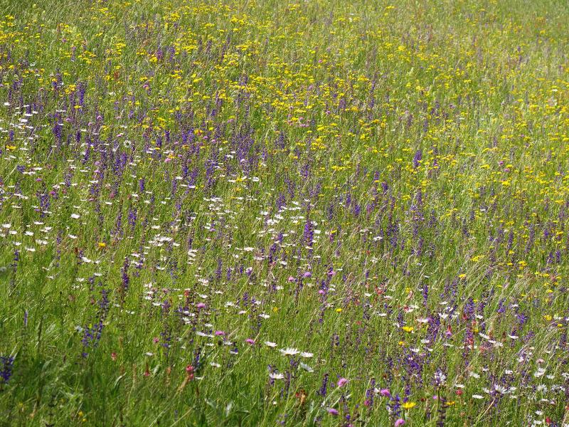
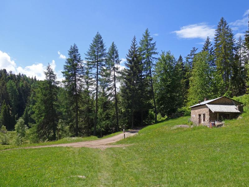
Walking past flowering meadows, we hike to the crossroads at the edge of the forest and continue along path no. 5. It leads us up to the Pinter-Schupf and Peraschupf forest huts in the Monte Corno Nature Park, the southernmost and lowest of the seven nature parks in South Tyrol.
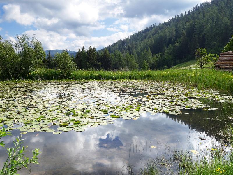
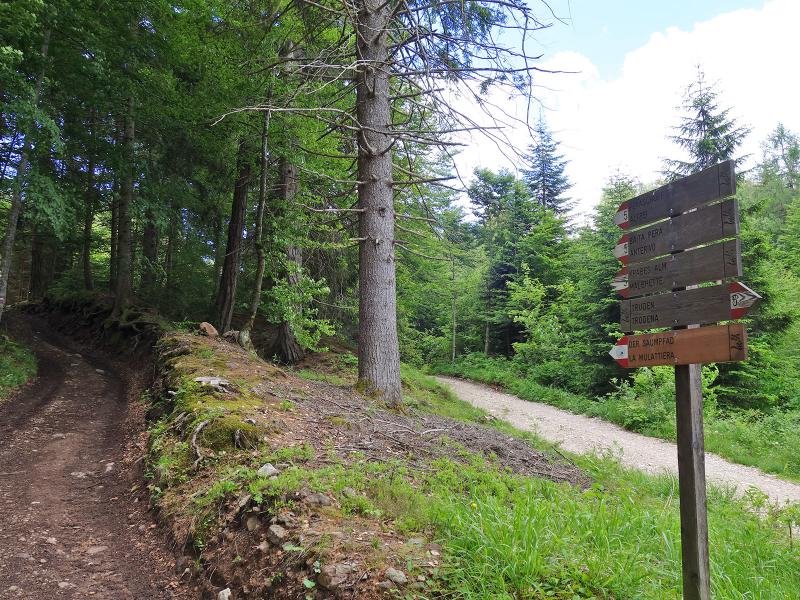
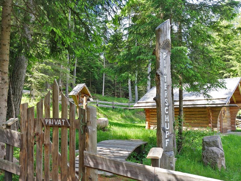
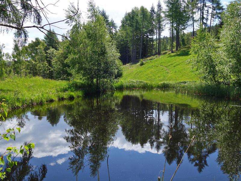
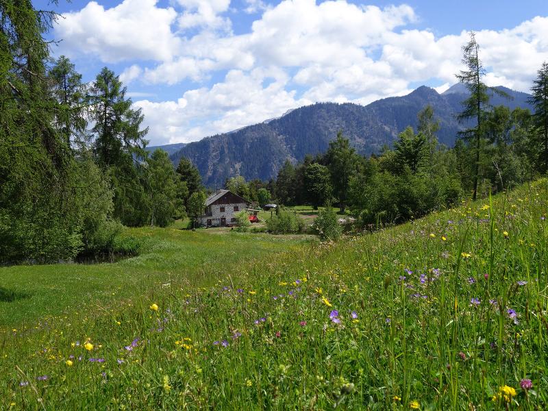
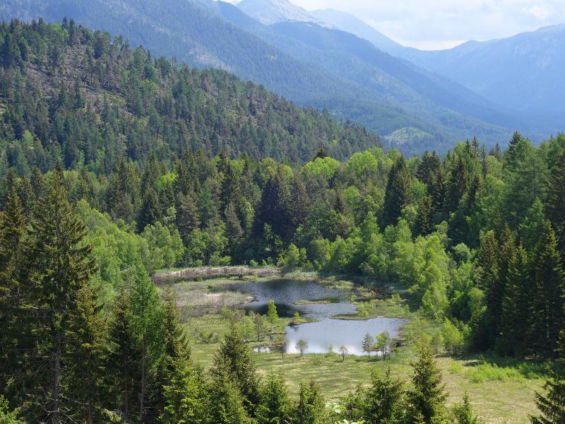
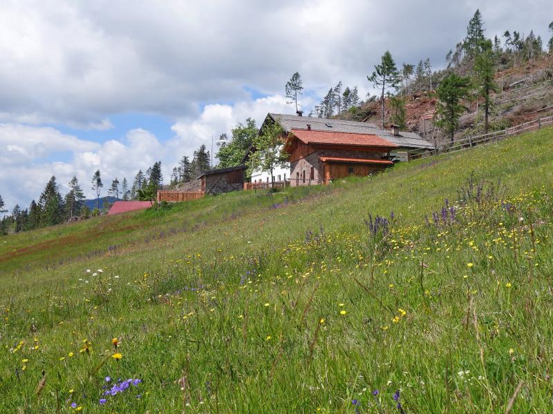
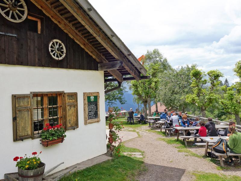
Past wet meadows and small ponds, the trail continues up through the forest and then slightly downhill to the larch meadows near the Langes Moos biotope. At the junction, we now follow forest road no. 9 towards the Malghette di Anterivo. This sunny alpine hut serves typical South Tyrolean cuisine and local delicacies such as "Anterivo coffee". Curious?
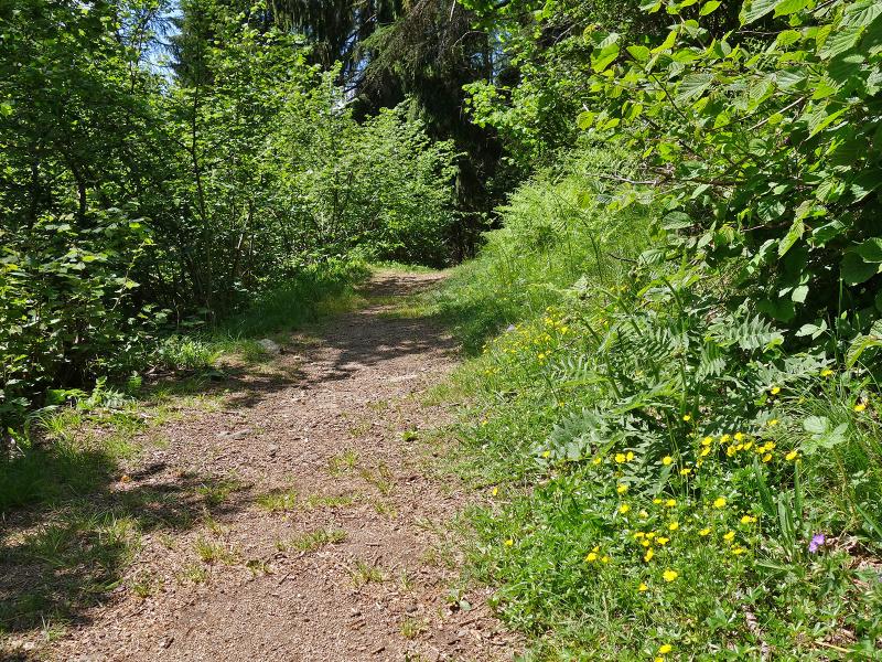
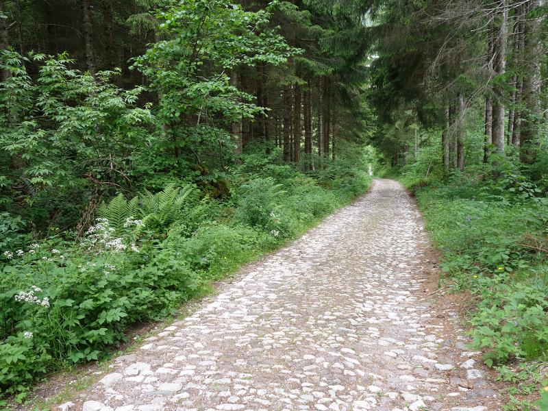
It is best to try it for yourself! Made from roasted lupins, it is used in local gastronomy and serves as a caffeine-free coffee substitute. To get back to Trodena, we take path no. 6, which starts directly behind the Malghette di Anterivo (Krabes Alm). After a short climb, the trail continues on the level through the forest and then along a forest road downhill to the "Vecchia Segheria" (old sawmill).
We walk the last few metres through the village back to the car park. This marks the end of our four-hour circular walk through the south-eastern part of the Monte Corno Nature Park.
Author: AT
Experienced: June 2020
Last update: 2026
-
- Starting point:
- car park at the village entrance of Trodena (1,102 m a.s.l.)
-
- Overall time:
- 04:00 h
-
- Total route length:
- 12,0 km
-
- Altitude:
- from 1.102 m to 1.573 m
-
- Altitude difference (uphill | downhill):
- +538 m | -538 m
-
- Route:
- Trodena - Legends Trail - Rungganö Cross - Pinter-Schupf and Peraschupf forest huts - Malghette di Anterivo - Trodena
-
- Signposts:
- no. 8, 5, 9, 6
-
- Destination:
- Malghette di Anterivo (1,540 m a.s.l.)
-
- Resting points:
- Malghette di Anterivo (May to October/November)
-
- Recommended time of year:
- Jan Feb Mar Apr May Jun Jul Aug Sep Oct Nov Dec
-
- Download GPX track:
- Hike in the Monte Corno Nature Park
-
- More information:
- The overall time shown above refers to the walking time only, not including breaks or stops.
If you want to undertake this hike, we recommend checking the weather and trail conditions in advance and on site before starting this hike!