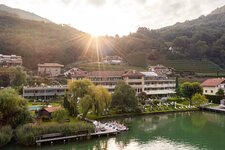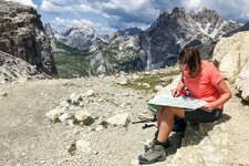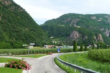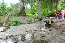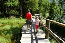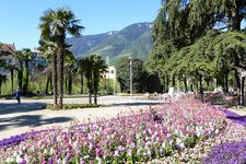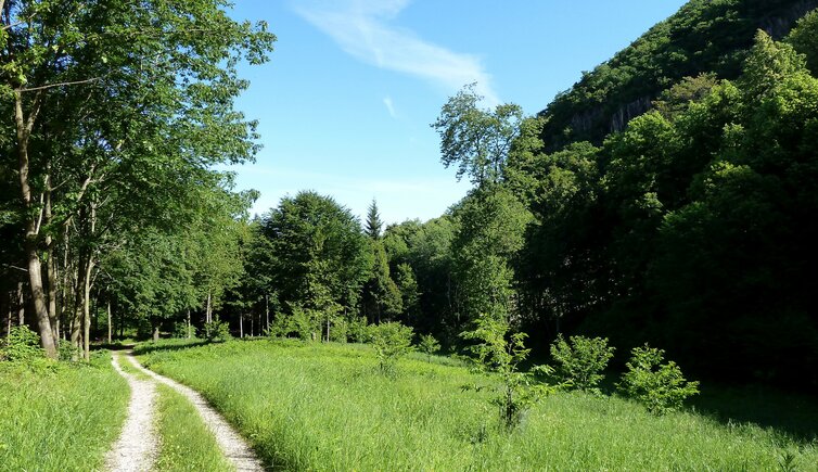
A leisurely stroll on the Monte di Mezzo di Caldaro among the awakening nature of the deciduous and mixed woodlands
Image gallery: May walk in the Val di Fusca valley
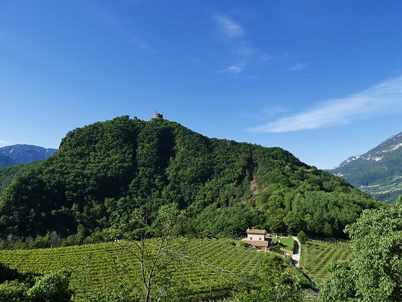
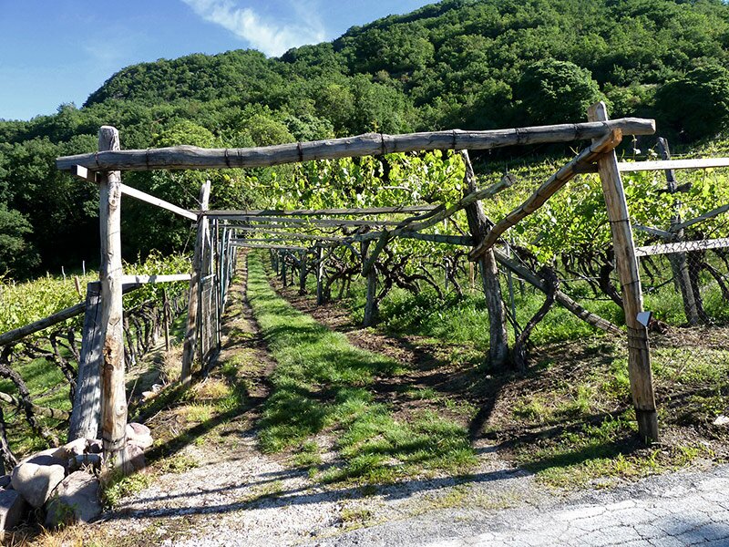
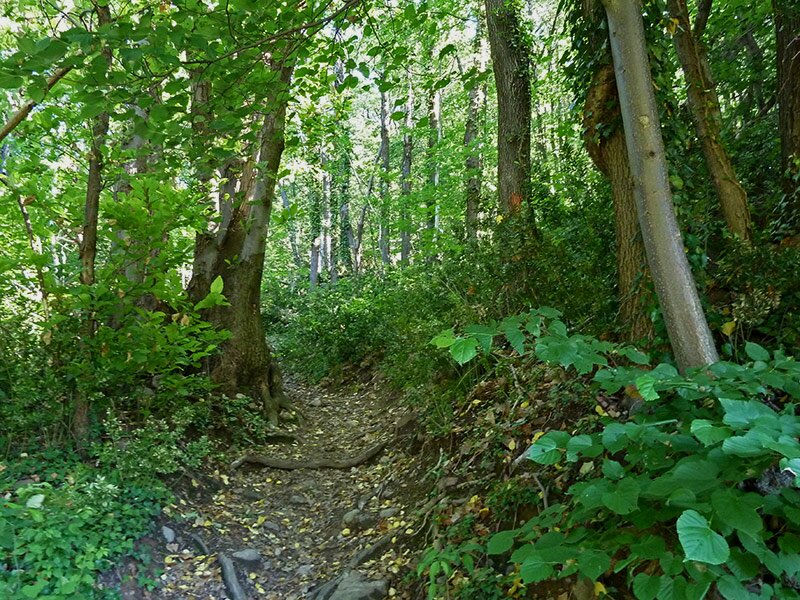
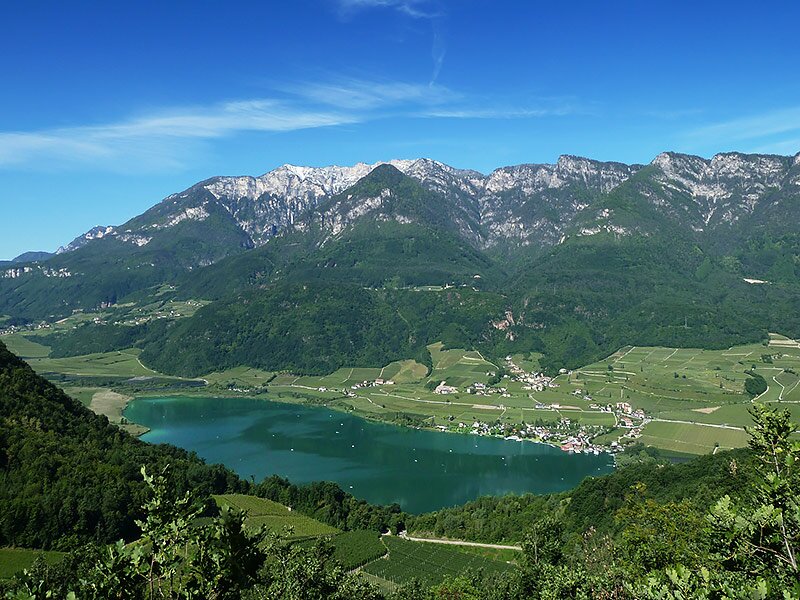
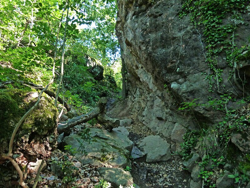
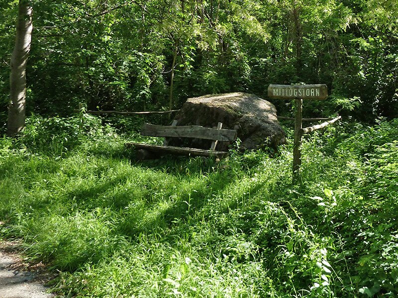
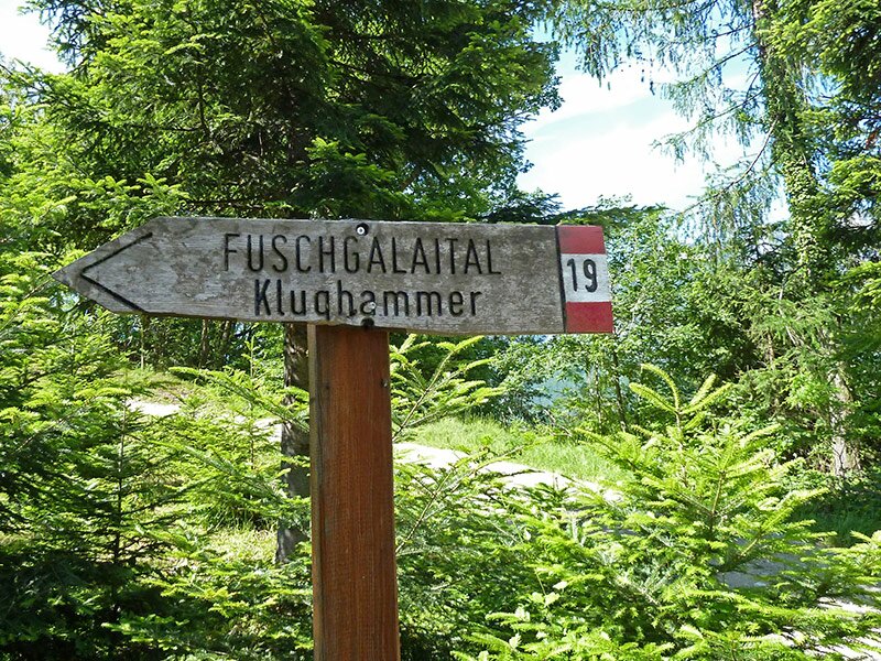
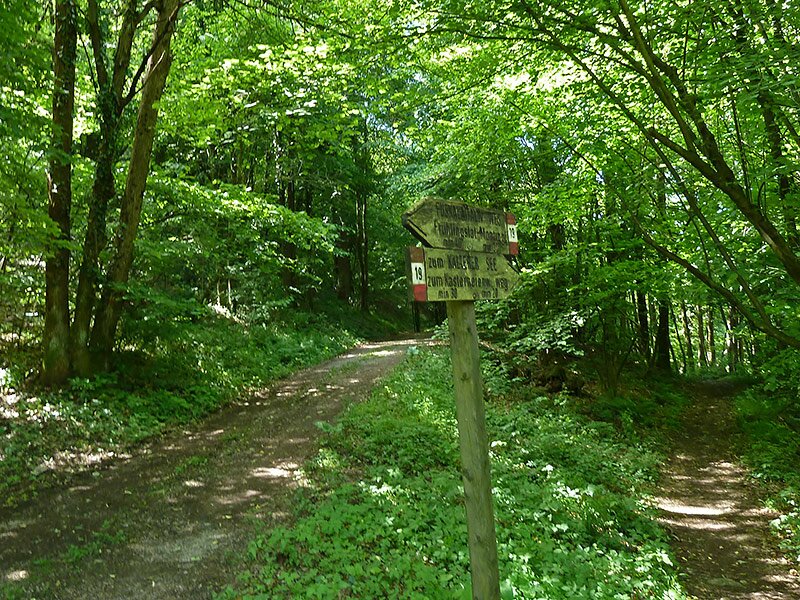
The Val di Fusca valley lies slightly away from the more famous walking routes of the Spring Valley and Castelchiaro ruins, below the Monte di Mezzo di Caldaro. It formed as the glacier tongue of Lake Caldaro retreated at the end of the last Ice Age. The starting point for this spring walk is the Passo di Novale al Varco above Stadel-Castelvarco (Stadel-Laimburg) near Vadena.
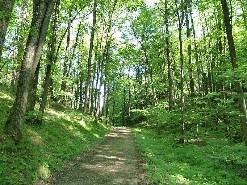
Locals also affectionately call this spot the "Koyotenpass". The unmarked entrance starts 50 metres from the top of the pass. It leads northwards through a vineyard before the path winds through the woodland and scrubland on the southern slopes of the Monte di Sotto. The route climbs steeply for a short distance before reaching the "Valle di Valplon - Piccola Valle dei Sassi" forest track (Valplontal - Steintal). We follow this path northwards as it crosses the small valley.
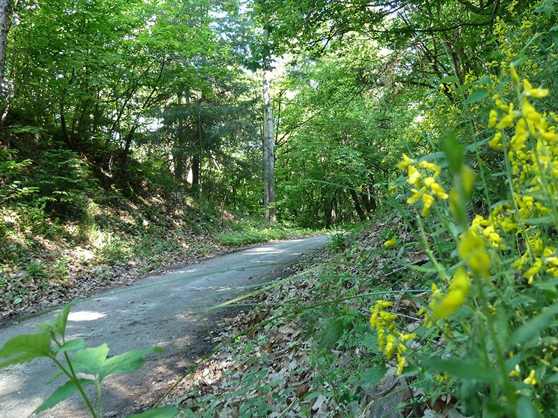
After this section, the track merges with the Monte di Sotto path. Walking gently downhill, we reach the junction for the "Fuscaleital" forest road (no. 19). This path heads towards the south. Above the village of Campi al Lago by Lake Caldaro, trail no. 19 branches off the forest road. We remain on the wide forest track, which leads us directly back to the pass height.
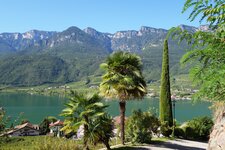
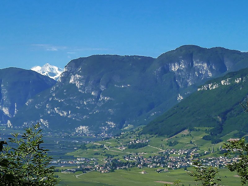
The final 500 metres run initially through the forest before following the asphalted road. The first section of the walk offers lovely panoramic views of Lake Caldaro and the surrounding mountains. These views stretch as far as the Monte Bondone in the Lake Garda Mountains near Trento. We arrive back at our starting point after a pleasant two-hour circular walk.
Author: AT
Experienced: May 2013
Last updated: 2026
-
- Starting point:
- Novale al Varco above Stadio-Castelvarco and Campi al Lago (382 m a.s.l.)
-
- Overall time:
- 02:00 h
-
- Total route length:
- 6,2 km
-
- Altitude:
- from 343 m to 532 m
-
- Altitude difference (uphill | downhill):
- +214 m | -214 m
-
- Signposts:
- "Valle di Valplon - Piccola Valle dei Sassi", "Fuschgalaital" (no. 19)
-
- Destination:
- Val di Fusca valley
-
- Resting points:
- rest points in Campi al Lago
-
- Recommended time of year:
- Jan Feb Mar Apr May Jun Jul Aug Sep Oct Nov Dec
-
- Download GPX track:
- May walk in the Val di Fusca valley
-
- More information:
- The overall time shown above refers to the walking time only, not including breaks or stops.
If you want to undertake this hike, we recommend checking the weather and trail conditions in advance and on site before starting this hike!