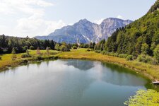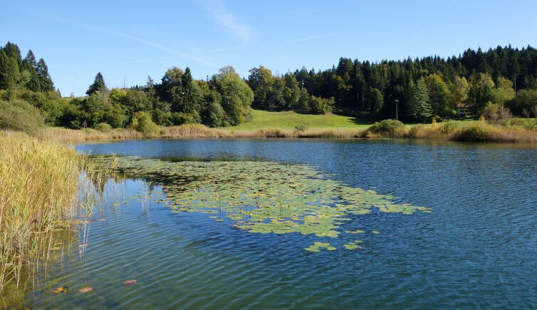
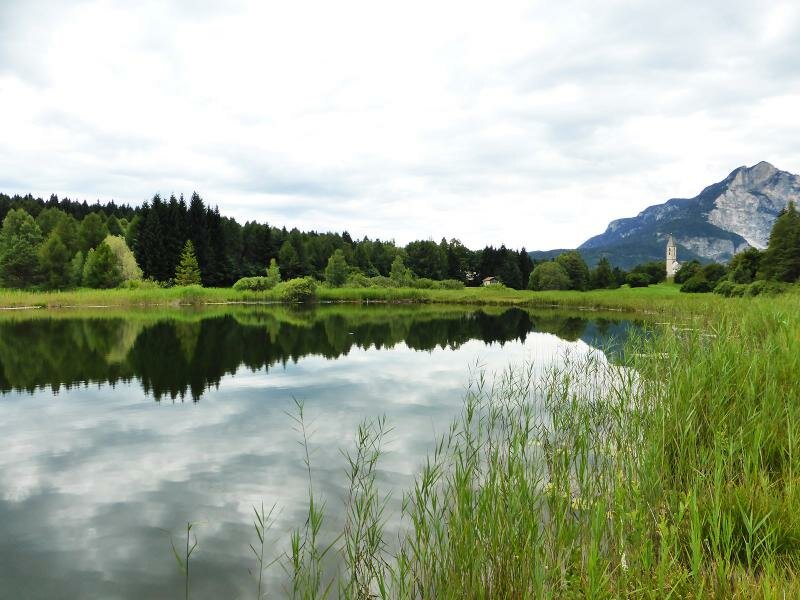
The Lake Favogna biotope is situated at an altitude of about 1,000 metres: An old path leads up there from Magrè
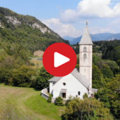
Image gallery: Hike from Magrè to Favogna
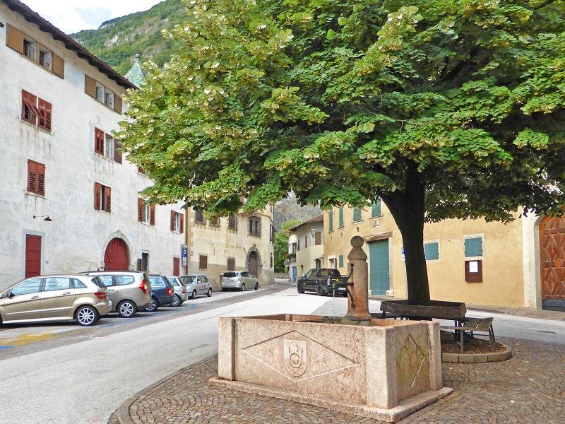
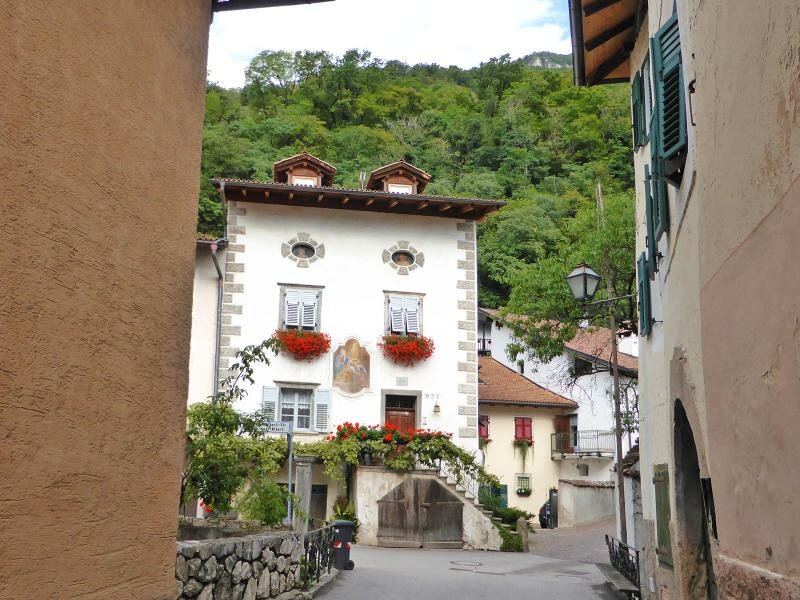
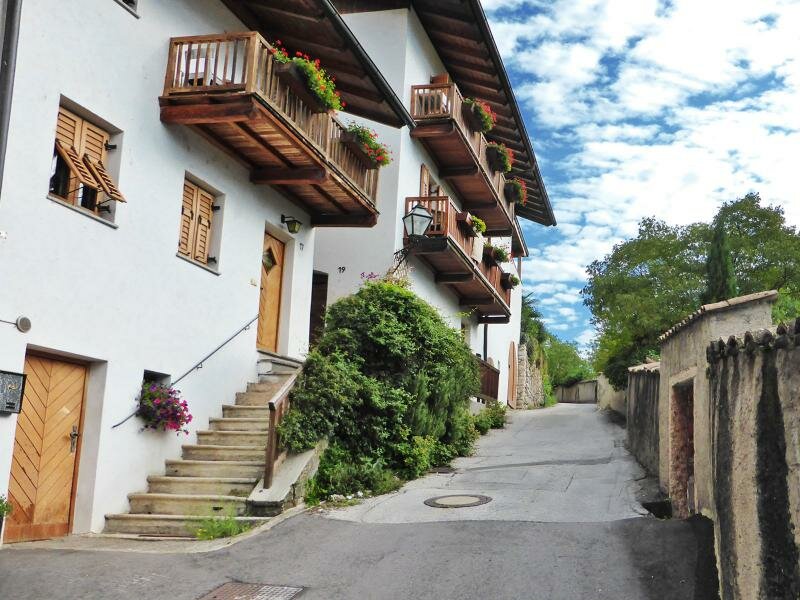
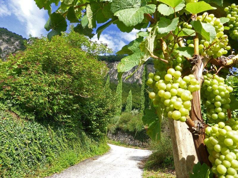
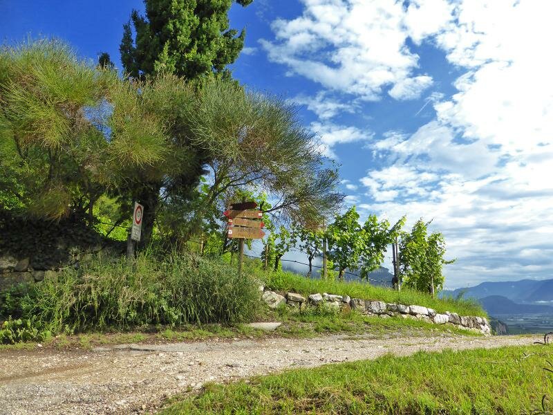
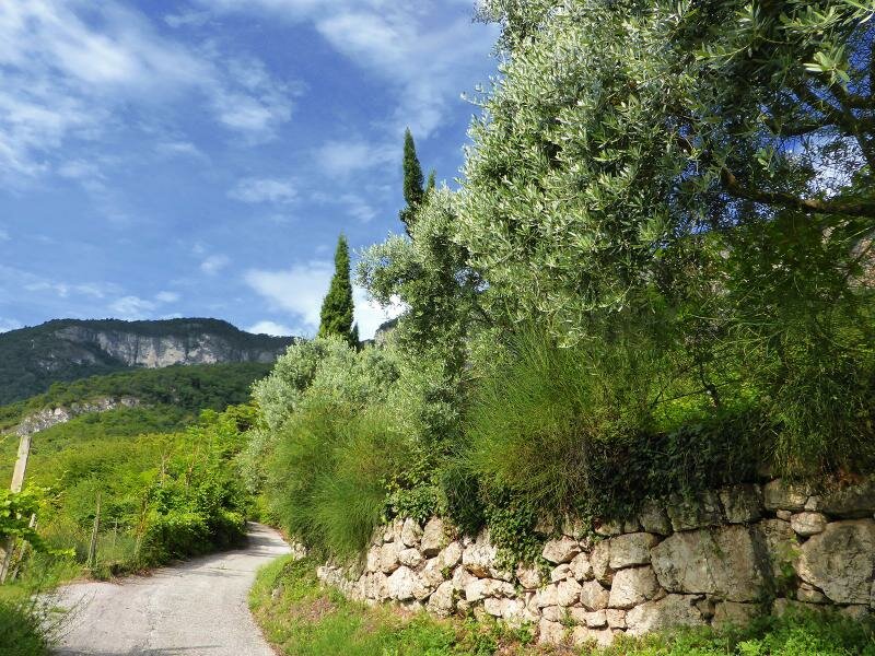
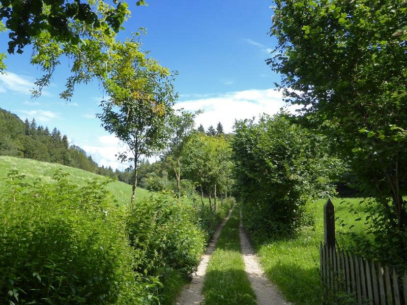
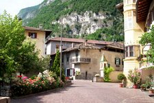
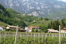
The path to Favogna starts in Magrè on the Wine Road. On this July day, we stroll through the village centre and then follow Via Franz von Fenner road to the north. In this way, we leave the beautiful old village behind and reach the vineyards of Leiten near Niclara.
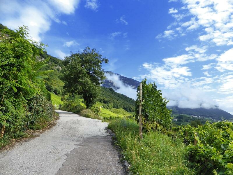
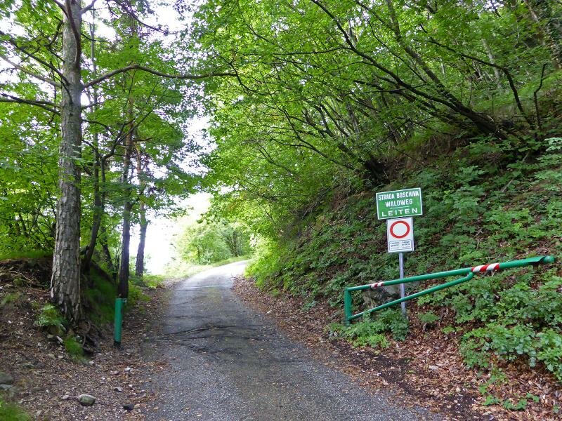
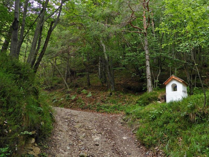
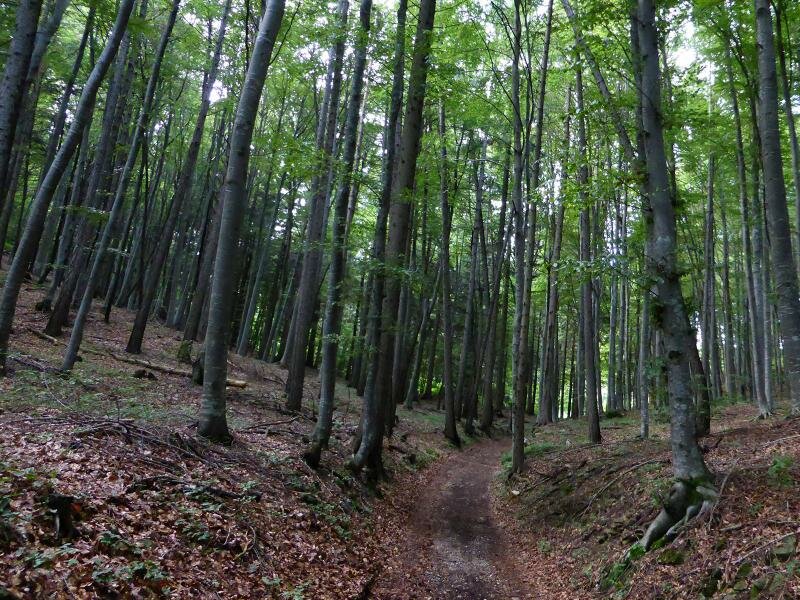
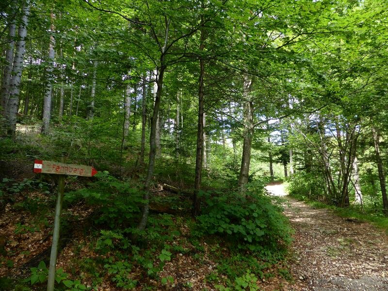
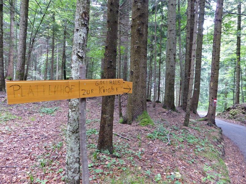
The signpost for Favogna (Fennberg) guides us through the forest and into the gorge of the Rio Favogna stream. At the bridge, the tarmac gives way to a cart track that leads us upwards along the steep slope. After walking for two and a half hours, we reach the Favogna plateau.
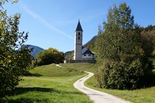
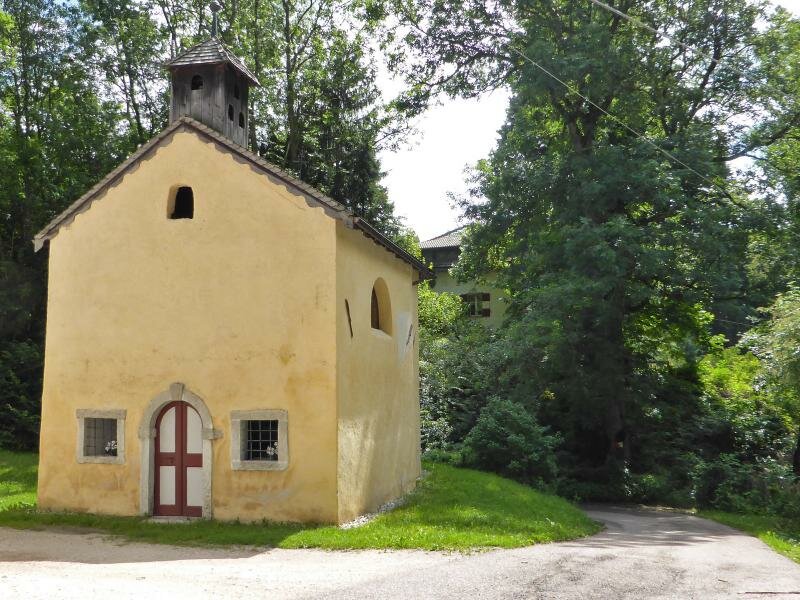
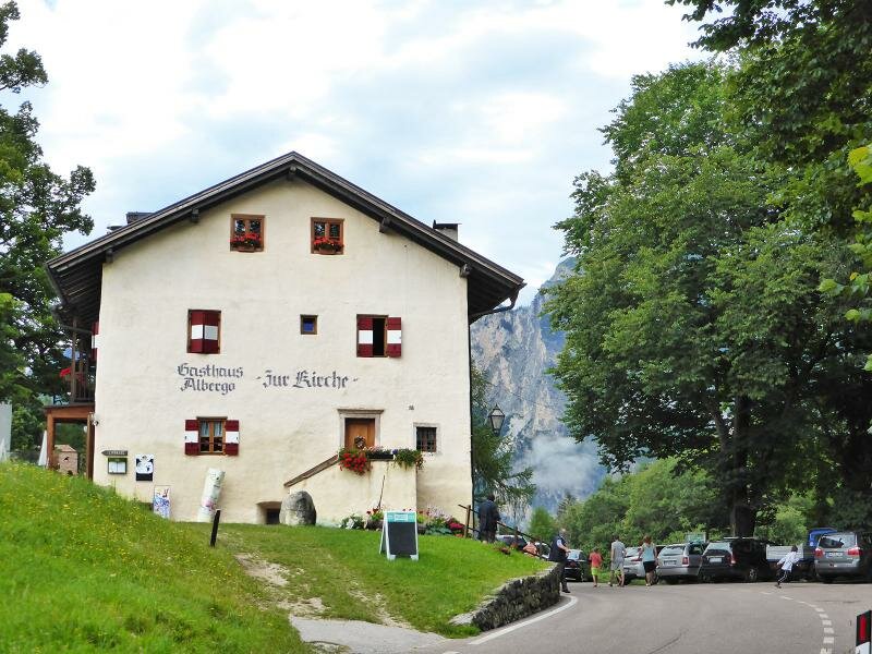
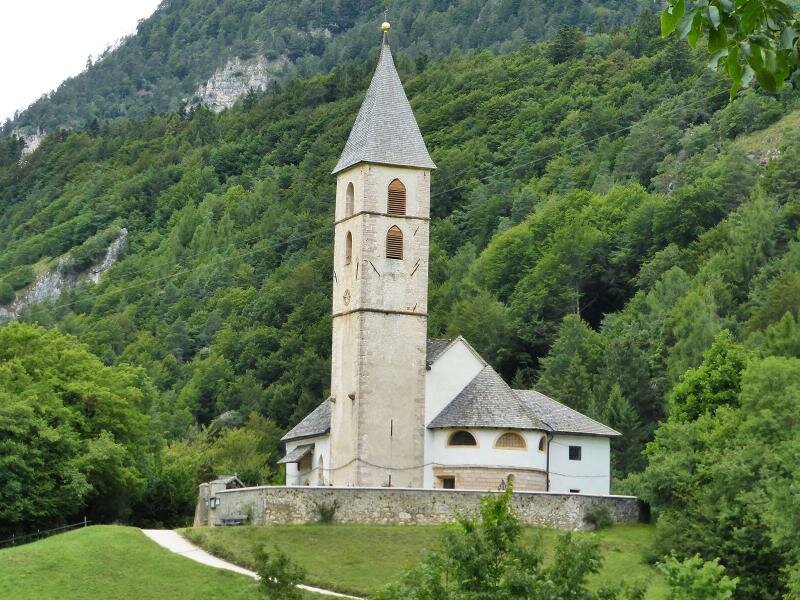
We continue past the small Church of St. Mary of the Snow to the centre of Favogna di Sotto) and the Zur Kirche inn. The 13th-century Church of St. Leonard stands in the middle of a meadow, not far from the shores of Lake Favogna, which we naturally also visit. We return to Magrè on the Wine Road along the same route. It is best to avoid this hike on hot days!
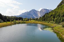
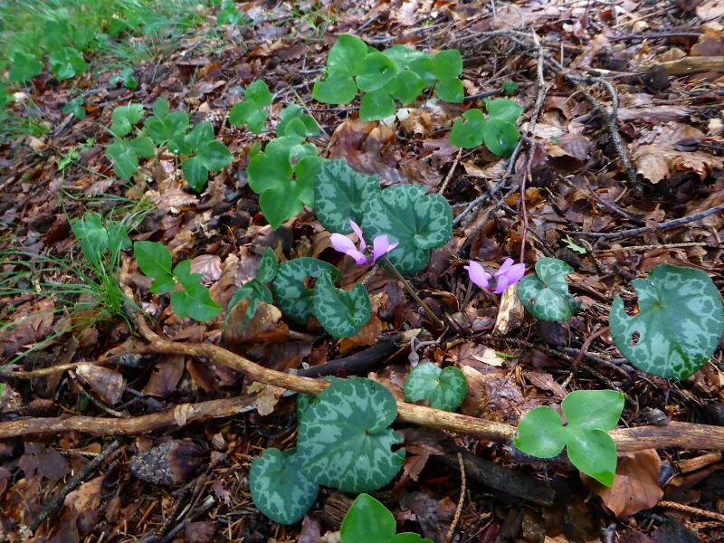
Lake Favogna itself is both a popular hiking destination and a bathing lake with a sunbathing lawn on its shore. It is also a protected biotope that is home to a total of 35 different species of orchid.
Author: AT
Experienced: July 2014
Last updated: 2026
-
- Starting point:
- Magrè on the Wine Road (230 m a.s.l.)
-
- Overall time:
- 05:05 h
-
- Total route length:
- 13,3 km
-
- Altitude:
- from 230 m to 1.085 m
-
- Altitude difference (uphill | downhill):
- +890 m | -890 m
-
- Signposts:
- no. 3
-
- Destination:
- Lake Favogna (1,034 m a.s.l.)
-
- Resting points:
- Plattenhof inn in Favogna di Sotto, Zur Kirche inn near the lake (both all year round)
-
- Recommended time of year:
- Jan Feb Mar Apr May Jun Jul Aug Sep Oct Nov Dec
-
- Download GPX track:
- Hike from Magrè to Favogna
-
- More information:
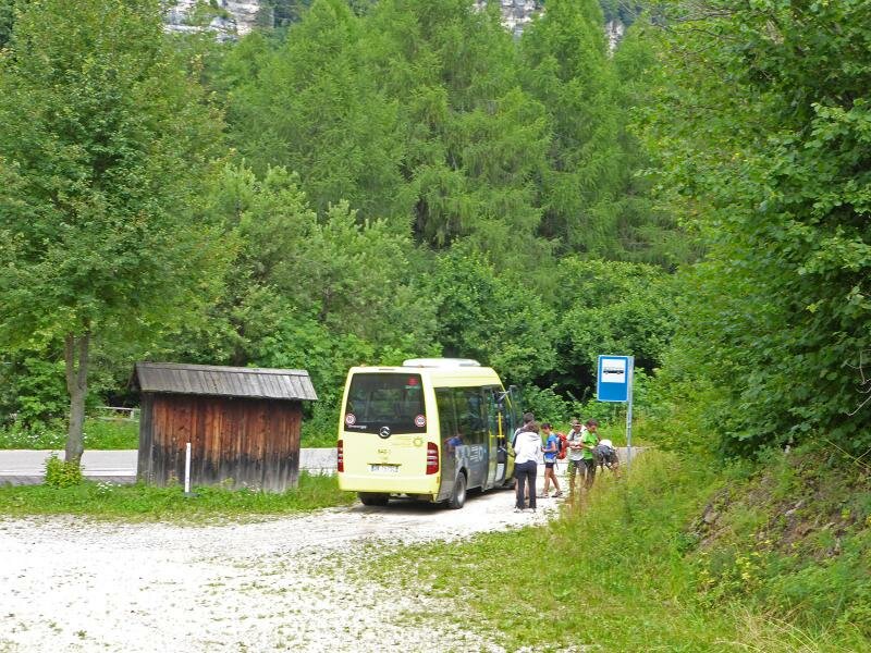
- The overall time shown above refers to the walking time only, not including breaks or stops. Bus route 125 also runs between Magrè and Favogna.
If you want to undertake this hike, we recommend checking the weather and trail conditions in advance and on site before starting this hike!