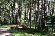
The forest path to the La Madrutta mountain crosses an almost untouched forest landscape in southern South Tyrol
Image gallery: Hike from Cauria to La Madrutta
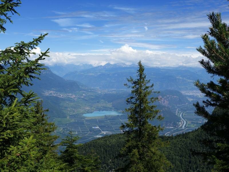
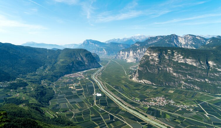
Known as La Madrutta (Madruttberg), this mountain features an imposing limestone face on the eastern side of the Valle dell'Adige, near the village of Laghetti between Egna and Salorno. It is part of the Monte Corno Nature Park, one of the seven nature parks that stretch across South Tyrol.
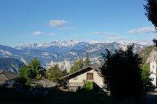
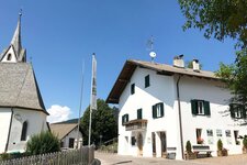
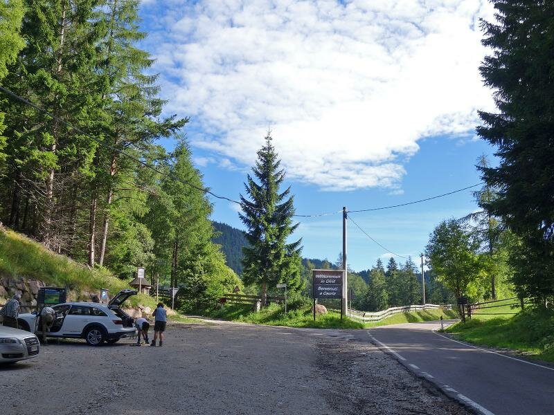
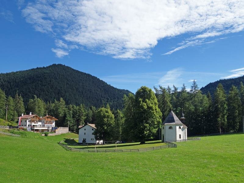
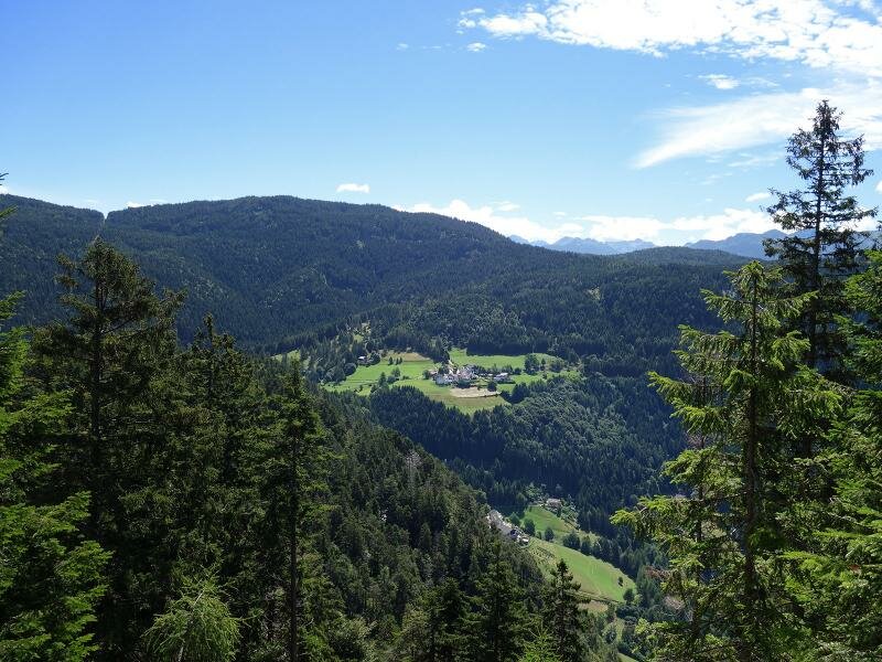
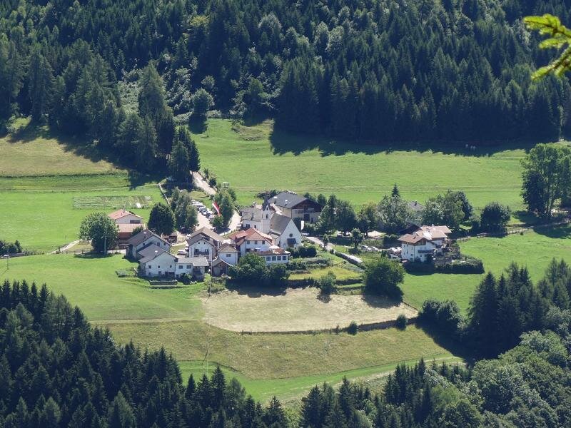
A leisurely hike from the hamlet of Cauria at 1,260 metres above sea level leads to a viewpoint just below the wooded summit of La Madrutta. If you are also interested in the flora and fauna of the nature park itself, we recommend visiting the Cauria Information Point before you start.
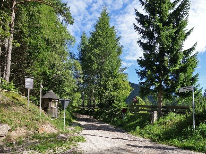
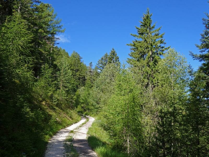
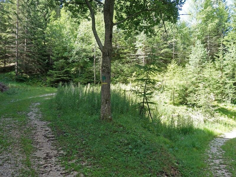
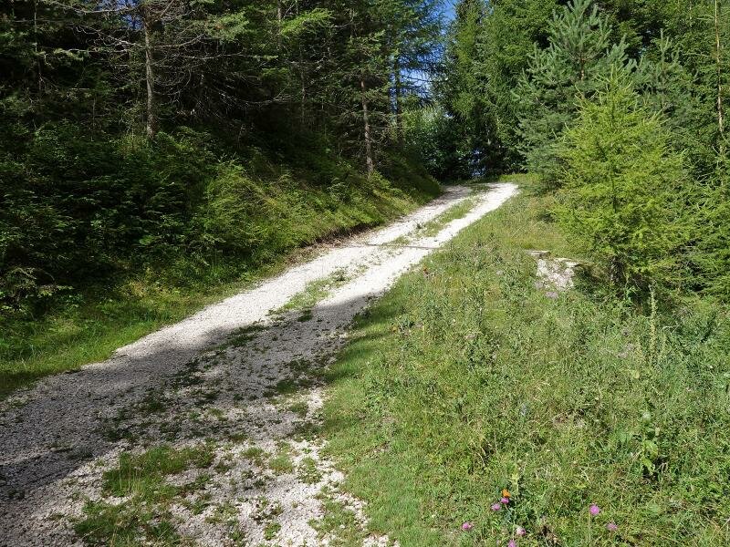
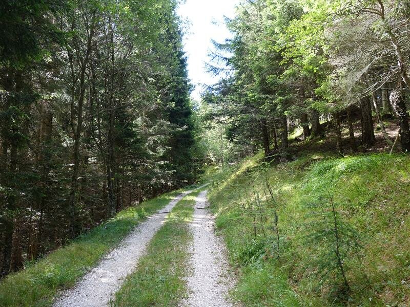
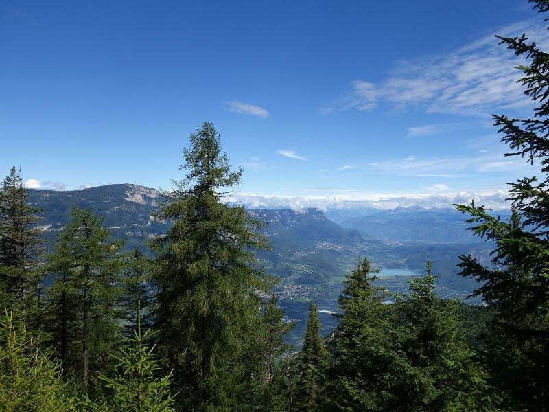
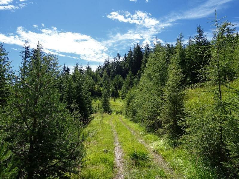
It provides fascinating insights into the nature park, its wildlife, and its special features. From the Wintertal car park just before the village entrance, we turn left on foot onto the "Madrut" forest path. We follow it for four kilometres. This gravel road leads us directly to the La Madrutta viewpoint at 1,500 metres above sea level. The route passes through a natural forest landscape.
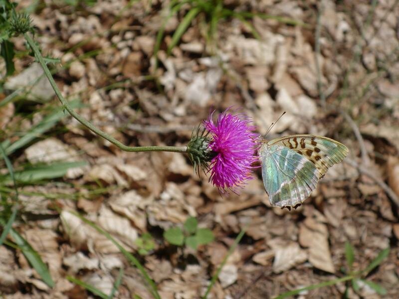
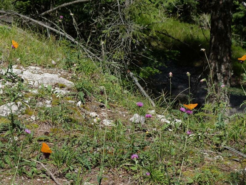
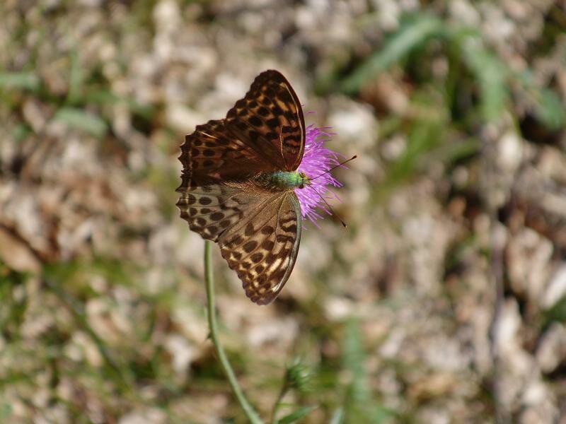
On small meadow clearings wild flowers bloom and butterflies can be seen. The bench at the viewpoint or a spot in the meadow clearing makes an ideal place for a picnic. The return journey follows the same route, and after almost three hours we reach Cauria (Gfrill) again. The gravel road from the hamlet up the mountain is also suitable for an all-terrain pushchair.
Author: AT
Experienced: July 2018
Last updated: 2026
-
- Starting point:
- Wintertal car park before the village entrance of Cauria (1,259 m a.s.l.)
-
- Overall time:
- 02:50 h
-
- Total route length:
- 8,6 km
-
- Altitude:
- from 1.259 m to 1.492 m
-
- Altitude difference (uphill | downhill):
- +251 m | -251 m
-
- Signposts:
- "Madrut"
-
- Destination:
- Madrutta viewpoint (1,492 m a.s.l.)
-
- Resting points:
- none
-
- Track surface:
- gravel
-
- Recommended time of year:
- Jan Feb Mar Apr May Jun Jul Aug Sep Oct Nov Dec
-
- Download GPX track:
- Hike from Cauria to La Madrutta
-
- More information:
- The overall time shown above refers to the walking time only, not including breaks or stops. There are no places to stop for refreshments directly along the route, but there is the Restaurant Fichtenhof in Cauria, near the starting point.
If you want to undertake this hike, we recommend checking the weather and trail conditions in advance and on site before starting this hike!