May hike along an old connecting route that was the most important road to the mountain village of Aldino 50 years ago
Image gallery: Hike from Bronzolo to Aldino

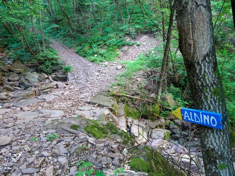
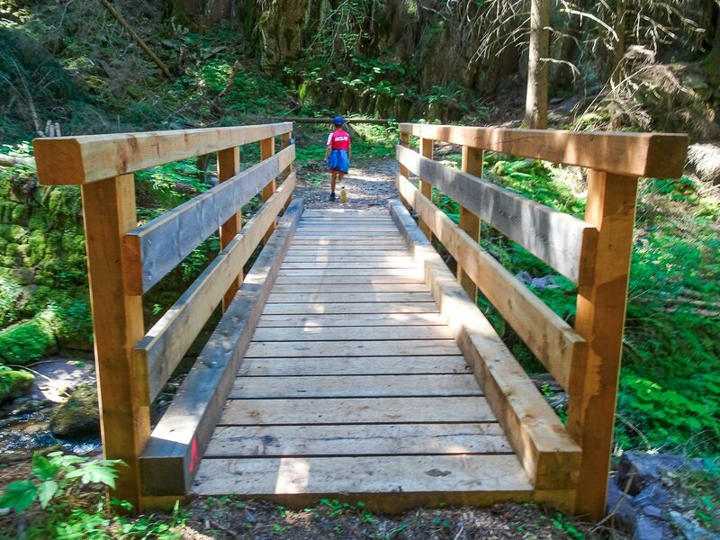
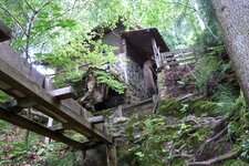
Before a road was built to the hamlet of Aldino, a cart track led down to Bronzolo through the gorge of the Rio di Aldino. This connection fell into obscurity until a few years ago when the track was restored and turned into a hiking trail. We set out to trace the past back to a time when the (German-speaking) people of Aldino had a strong relationship with the (predominantly Italian-speaking) village of Bronzolo. The trail is known as "Alter Aldeiner Weg".
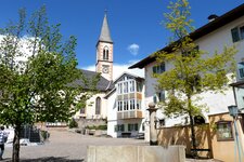
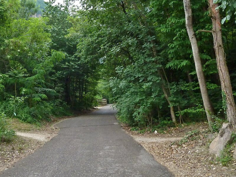
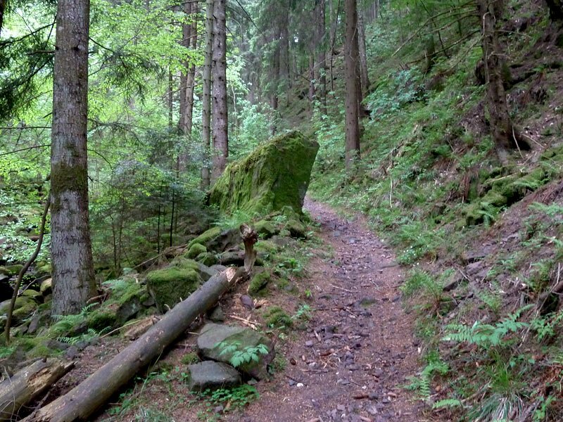
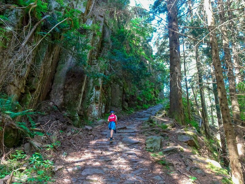
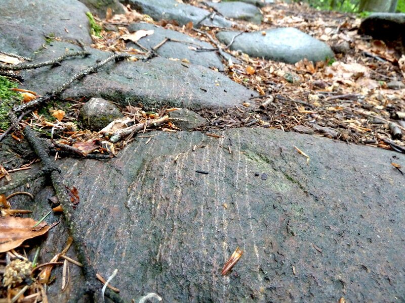
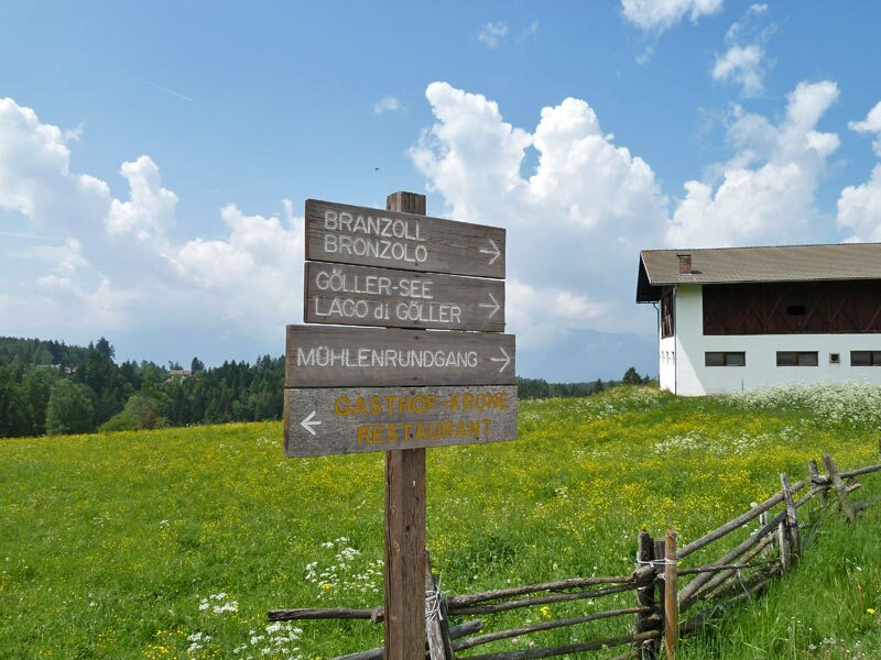
People transported all kinds of goods up to the mountain village along the Aldino cart track (Aldeiner Karrenweg). Many locals walked this path every day to go to work, visit the doctor, shop, or deal with administrative matters. It is hard to imagine today! We start our hike at the parish church in Bronzolo and walk along the Via Marconi road up to the Aldino road. We pass the sports fields, and here begins the cobbled cart track that winds its way up through the valley.
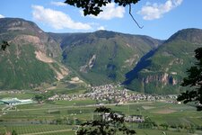
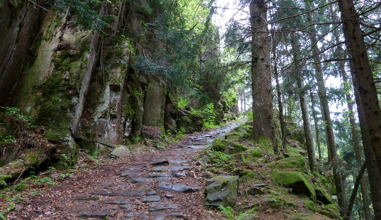
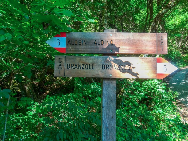
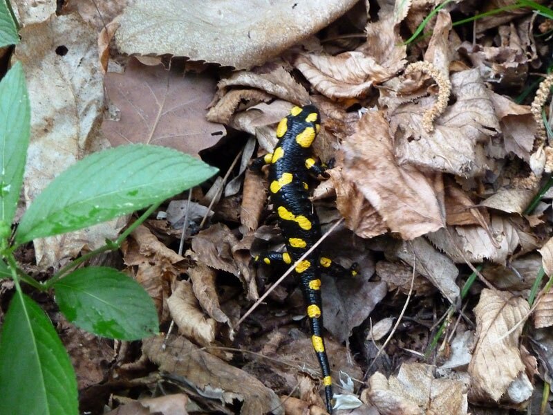
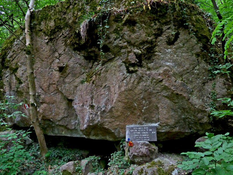
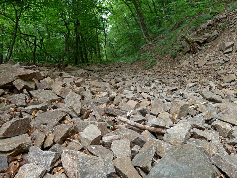
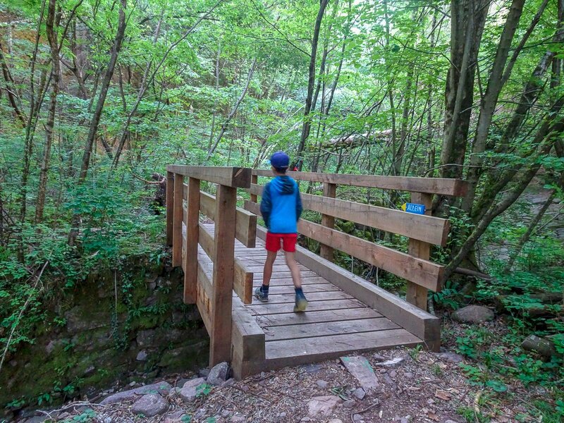
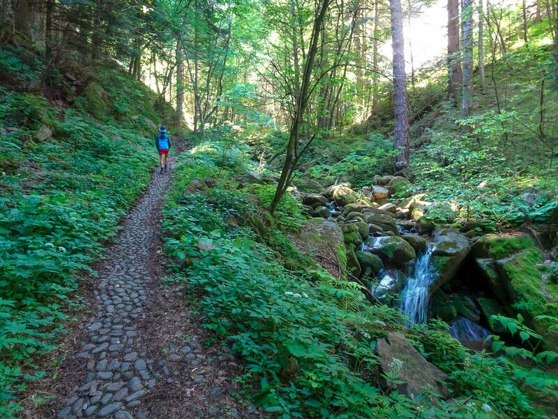
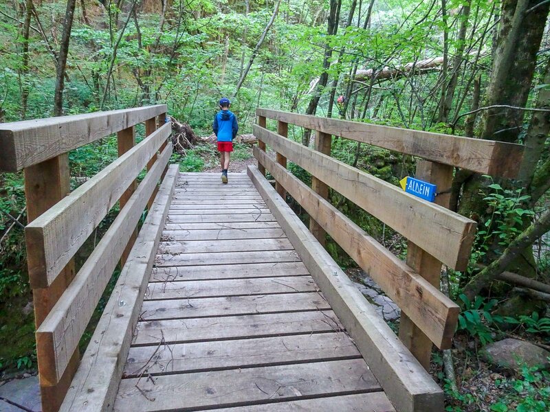
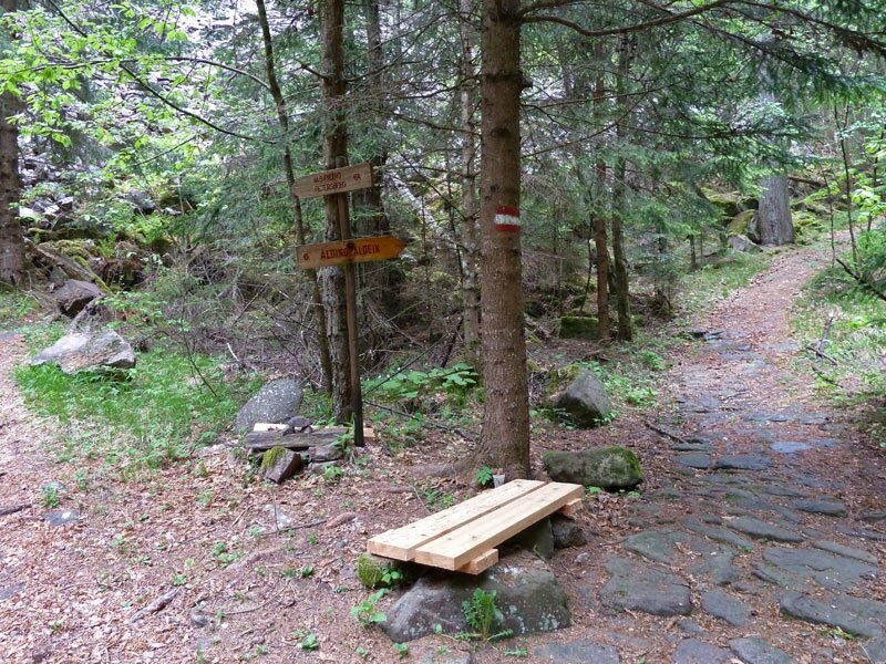
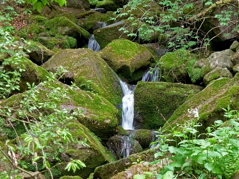
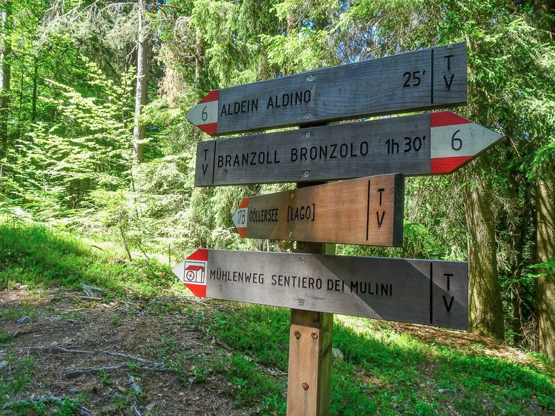
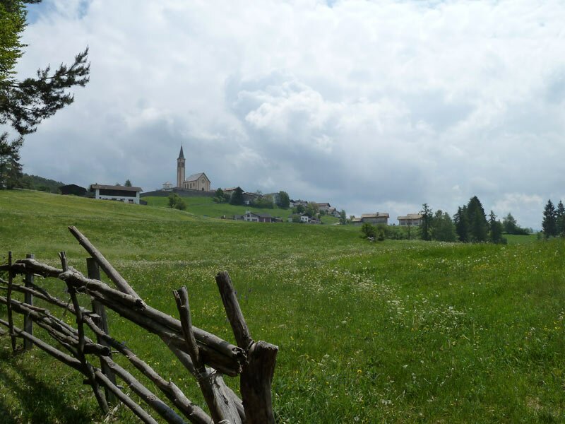
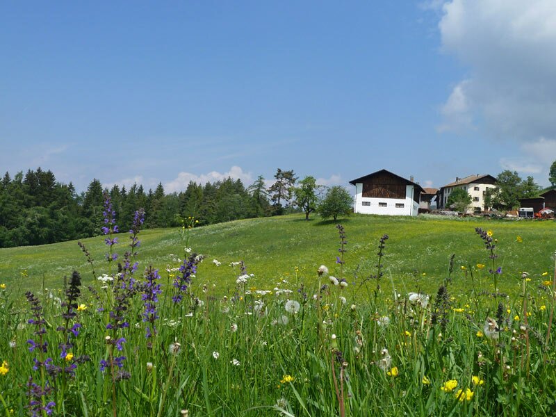
The path varies in width. It is mostly very easy to walk on, but it also features some stony sections. We first walk through a deciduous forest and later through dark pine woods, always following the stream. Finally, we turn right onto trail no. 6. After a short climb, a meadow and the old village centre of Aldino appear on a hill behind the trees.
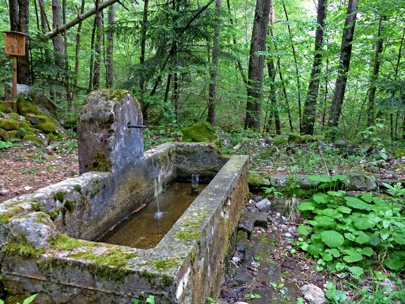
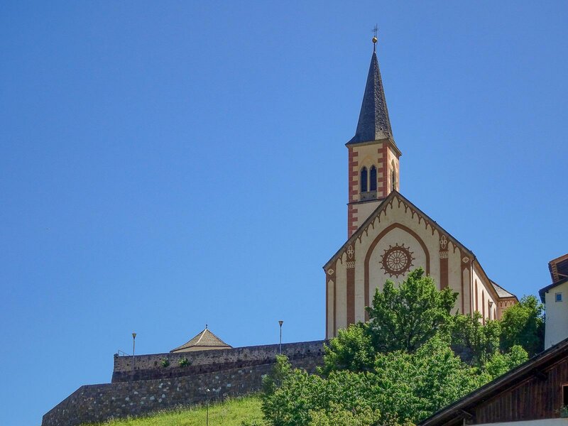
In and around the village, you can visit the local museum with the "Treasure of the Thalhof" as well as the Aldino Mill Ensemble. We eventually return to Bronzolo along the same path. Alternatively, you can take the bus back (via Montagna and Ora).
Author: AT
Experienced: May 2011
Last updated: 2026
-
- Starting point:
- parish church of Bronzolo (235 Aldino (1,221
-
- Overall time:
- 03:00 h
-
- Total route length:
- 6,0 km
-
- Altitude:
- from 235 m to 1.221 m
-
- Altitude difference (uphill | downhill):
- +987 m | -8 m
-
- Signposts:
- no. 6, "nach Aldein"
-
- Destination:
- Aldino (1,221 m a.s.l.)
-
- Resting points:
- Krone inn in Aldino
-
- Recommended time of year:
- Jan Feb Mar Apr May Jun Jul Aug Sep Oct Nov Dec
-
- Download GPX track:
- Hike from Bronzolo to Aldino
-
- More information:
- The overall time shown above refers to the walking time only, not including breaks or stops.
If you want to undertake this hike, we recommend checking the weather and trail conditions in advance and on site before starting this hike!