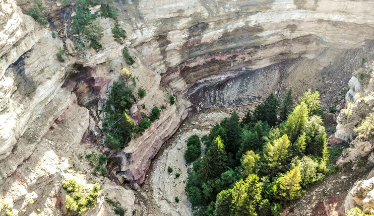
From Aldino to a special natural spectacle: the Rio delle Foglie or Bletterbach Gorge, South Tyrol’s Grand Canyon
Image gallery: Hike through the Rio delle Foglie Gorge
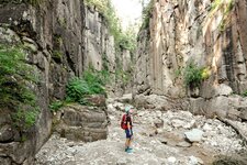
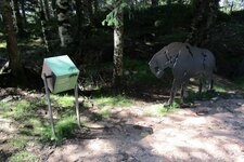
Our May hike begins at the GEOPARC visitor centre near Aldino. The Rio delle Foglie Gorge usually opens in early May and remains accessible until autumn. Driving about one kilometre past the village, we turn off towards Lerch and follow the signs for "Bletterbach". From the visitor centre, we continue on foot along path no. 3. First, the route leads through the forest and down into the "Taubenleck" within the gorge, known as the GEOPARC Rio delle Foglie.
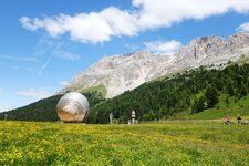
Here, we follow the GEO trail upstream to the Butterloch Waterfall. Shortly before reaching the waterfall, we climb the Jagersteig path to the viewing platform. It is also possible to hike further up to the "Görz" at 1,650 metres above sea level. This is the large rock basin at Mt. Corno Bianco situated directly above the gorge. Today we decide against this option.
Our route takes us further to the Lahner Mountain Hut, which serves South Tyrolean delicacies on the Monte Regolo. From here, we return to the starting point at the visitor centre. Make sure to notice the differently coloured rock layers in the gorge. All the geological characteristics of the Dolomites reveal themselves to the observer here!
Please note: A few years after our hike, the short and family-friendly Bletterbach Dinosaur Trail was opened at the visitor centre in Aldino. This path runs to the Lahner Hut without descending into the gorge. Furthermore, the GEOPARC admission fee now includes helmet rental, and wearing a helmet is mandatory in the Rio delle Foglie Gorge.
Author: ED
Experienced: May 2010
Last updated: 2026
-
- Starting point:
- GEOPARC Rio delle Foglie visitor centre in Aldino
-
- Overall time:
- 01:30 h
-
- Total route length:
- 4,2 km
-
- Altitude:
- from 1.414 m to 1.613 m
-
- Altitude difference (uphill | downhill):
- +201 m | -201 m
-
- Signposts:
- no. 3
-
- Resting points:
- Lahner Hut (May to October)
-
- Recommended time of year:
- Jan Feb Mar Apr May Jun Jul Aug Sep Oct Nov Dec
-
- Download GPX track:
- Hike through the Rio delle Foglie Gorge
-
- More information:
- The overall time shown above refers to the walking time only, not including breaks or stops.
If you want to undertake this hike, we recommend checking the weather and trail conditions in advance and on site before starting this hike!