The Dürer Path to the Saùch Pass, an important trade route in the Middle Ages, is pleasant to walk in spring and autumn
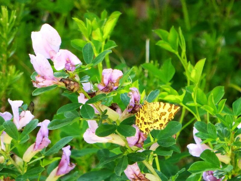
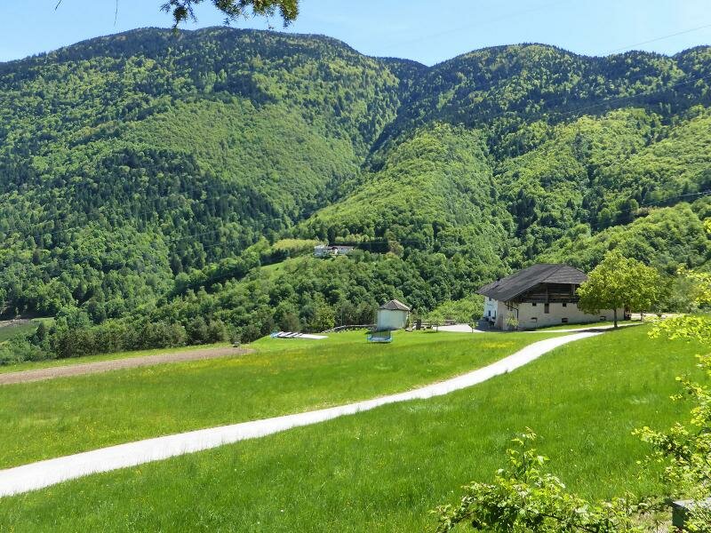
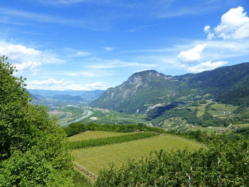
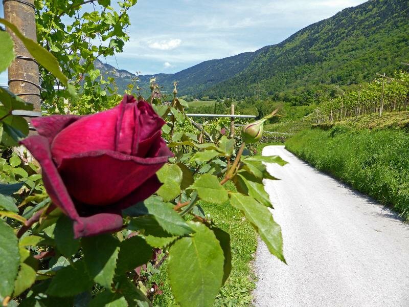
Image gallery: Hike from Salorno to the Passo Saùch
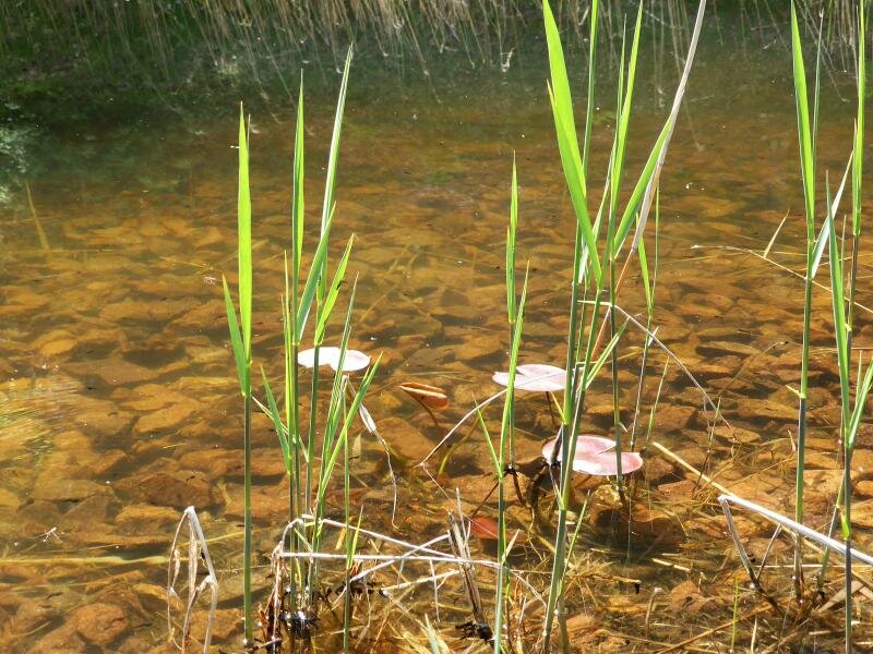
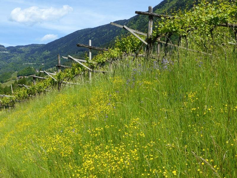
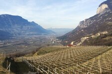
Exploring the southernmost corner of South Tyrol: The starting point of our hike is Pochi di Salorno, a small village above the southernmost village in South Tyrol. From the entrance to the village, we follow the road southwards until we see path no. 1 on the left-hand side.
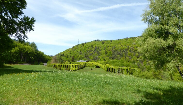
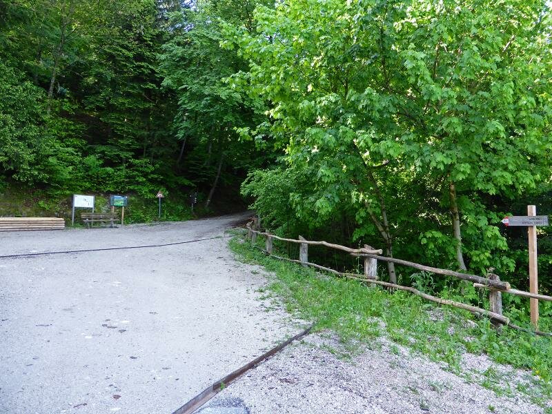
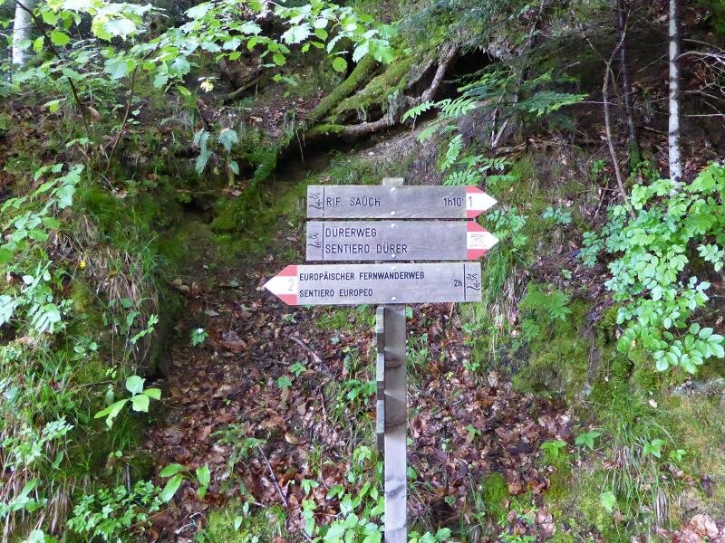
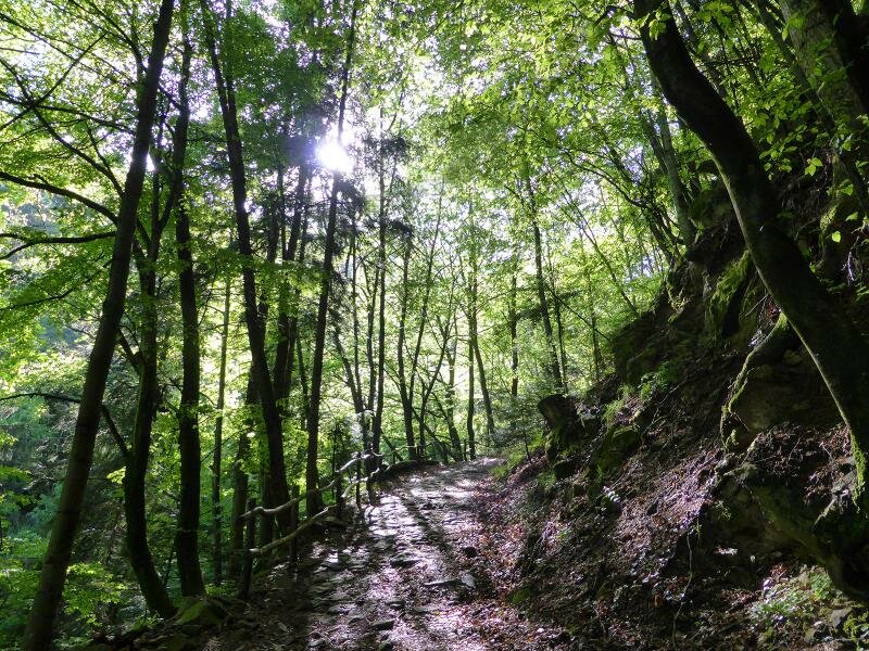
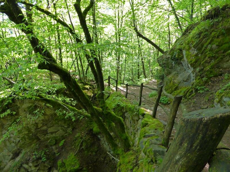
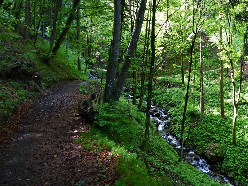
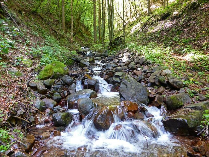
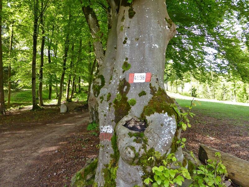
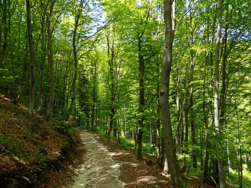
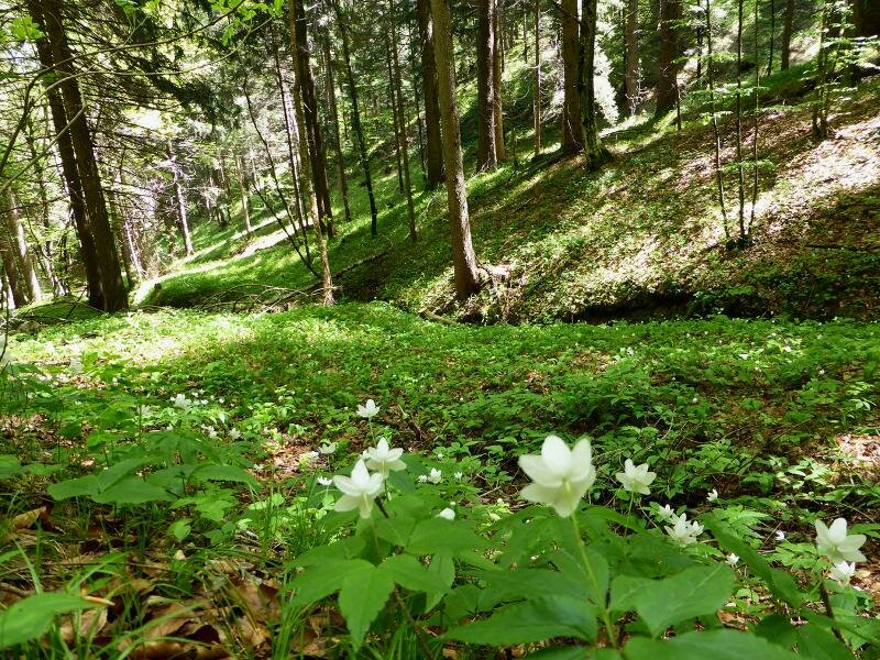
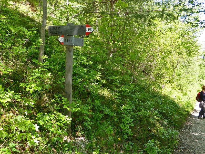
It runs between forests and vineyards, past old farms, and brings us to a parking and turning area. From here, we follow the signs for path no. 1 (Saùch) and "Sentiero del Dürer" (Dürer Path). A dense deciduous and mixed forest surrounds the old cart track, and we get a good idea of how people crossed the Alps during Albrecht Dürer's journey to Italy.
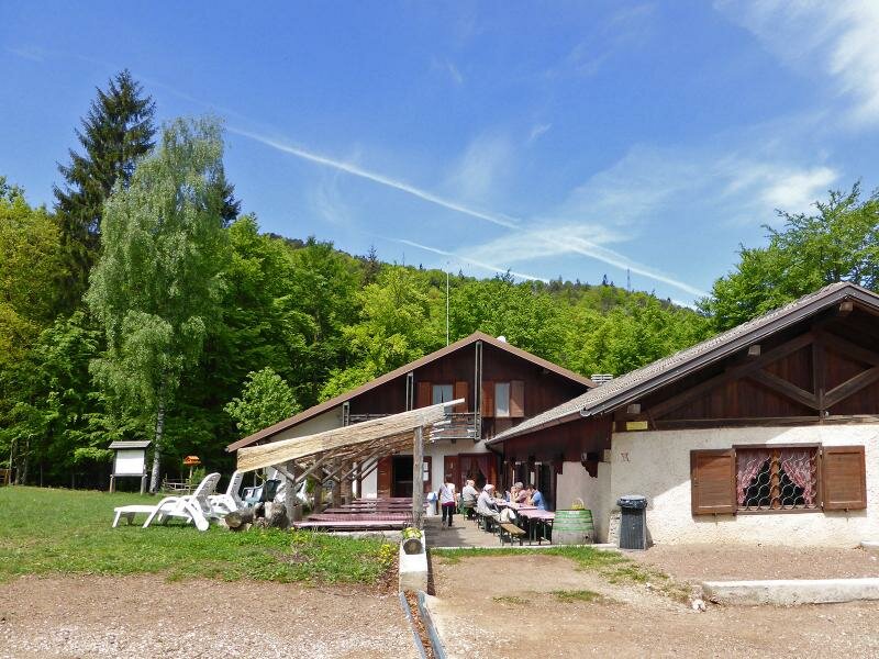
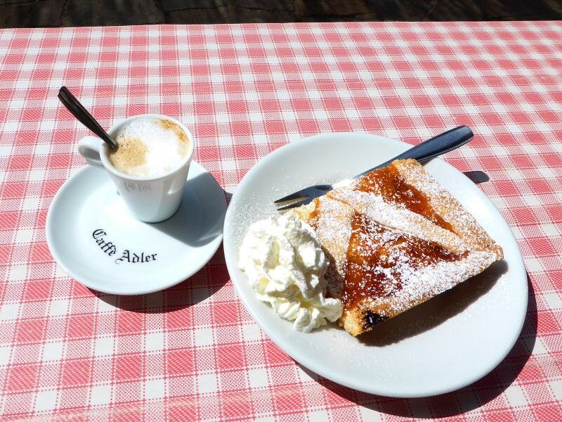
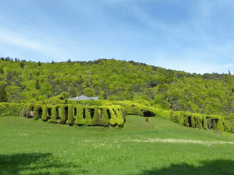
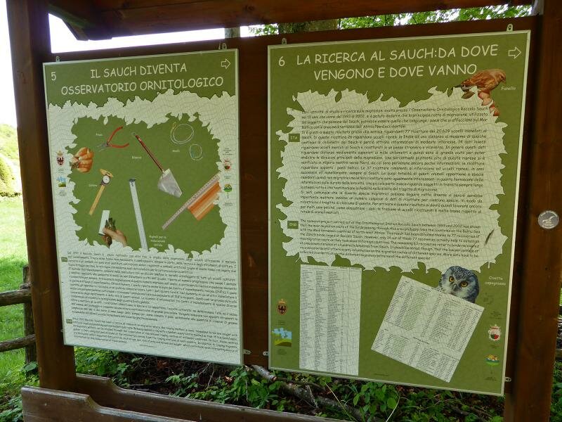
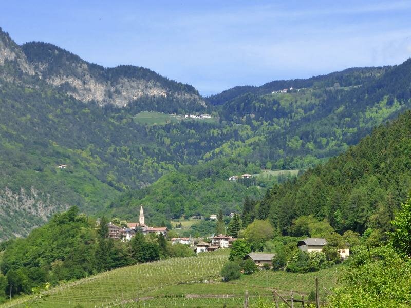
After just under two hours, we reach the Saùch Pass at 920 metres a.s.l. The Saùch Hut serves traditional South Tyrolean and Trentino cuisine. After a culinary break, we follow path no. 409b further to the "Roccolo del Sauch", a former bird trap. Today, this site is primarily used to observe and ring migratory birds. We then head back to the hut and descend along path no. 409b.
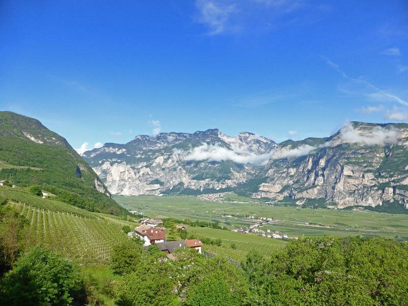
This allows us to bypass the Steinhausertal valley on the western side. Emerging from the forest, we reach the southern vineyards of Pochi di Salorno and follow the asphalted road back to the starting point. Incidentally, the full length of the Dürer Path between Laghetti and Trentino is 28 kilometres. Another section is the hike from Laghetti to Pochi di Salorno.
Author: AT
Experienced: May 2014
Last updated: 2026
-
- Starting point:
- Pochi di Salorno (junction with the path no. 1 at the Valfonda bus stop)
-
- Overall time:
- 03:45 h
-
- Total route length:
- 12,5 km
-
- Altitude:
- from 378 m to 952 m
-
- Altitude difference (uphill | downhill):
- +603 m | -603 m
-
- Signposts:
- no. 1, "Sentiero del Dürer", 409b
-
- Destination:
- Rifugio Saùch hut (952 m a.s.l.)
-
- Resting points:
- Rifugio Saùch hut (June to September)
-
- Recommended time of year:
- Jan Feb Mar Apr May Jun Jul Aug Sep Oct Nov Dec
-
- Download GPX track:
- Hike from Salorno to the Passo Saùch
-
- More information:
- The overall time shown above refers to the walking time only, not including breaks or stops.
If you want to undertake this hike, we recommend checking the weather and trail conditions in advance and on site before starting this hike!