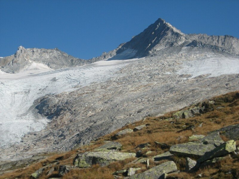
Hiking through the unique glaciers landscape of the Zillertal Alps, at the foot of the Gran Mesulé and Punta Bianca mountains
Image gallery: Mountain tour on the Neves High Route
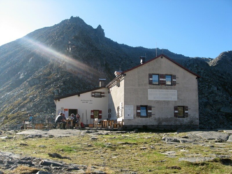
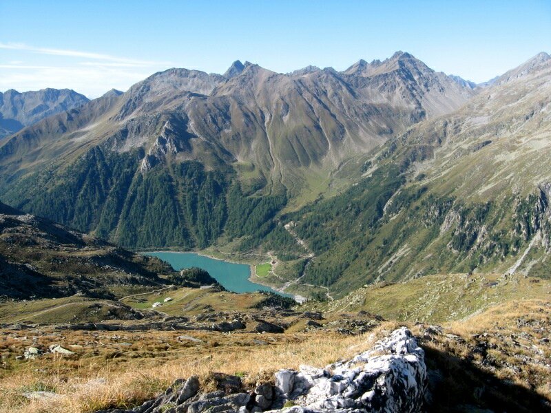
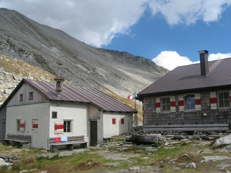
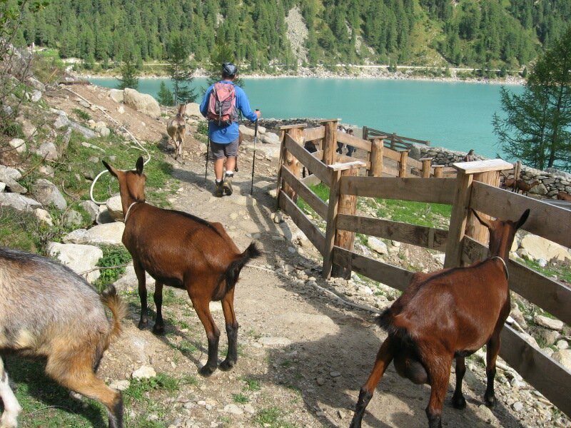
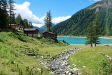
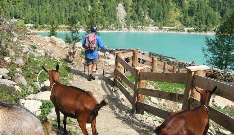
We leave our car at the parking space near Lake Neves in Lappago (Lappach, subject to charge) and start our tour hiking along the lake shore towards North until we reach the signpost "Chemnitzer Hütte", which leads us into the forest. We gain height on a well maintained hiking trail, which crosses the forest road several times. Passing the Neves Mountain Hut we finally arrive at Rifugio Porro (Chemnitzer Hütte, 2,419 m a.s.l.). After a short rest we continue our tour on trail no. 1, the Neves High Route (Alta Via di Neves or Neveser Höhenweg).
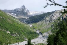
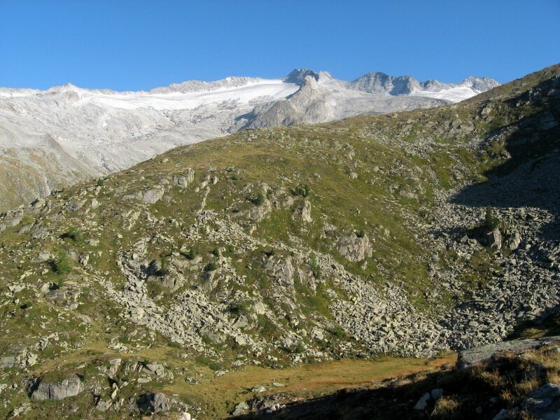
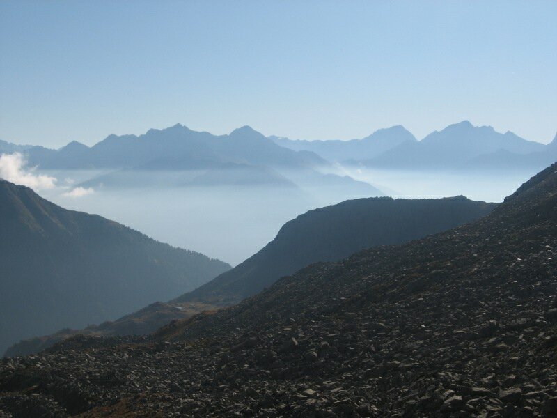
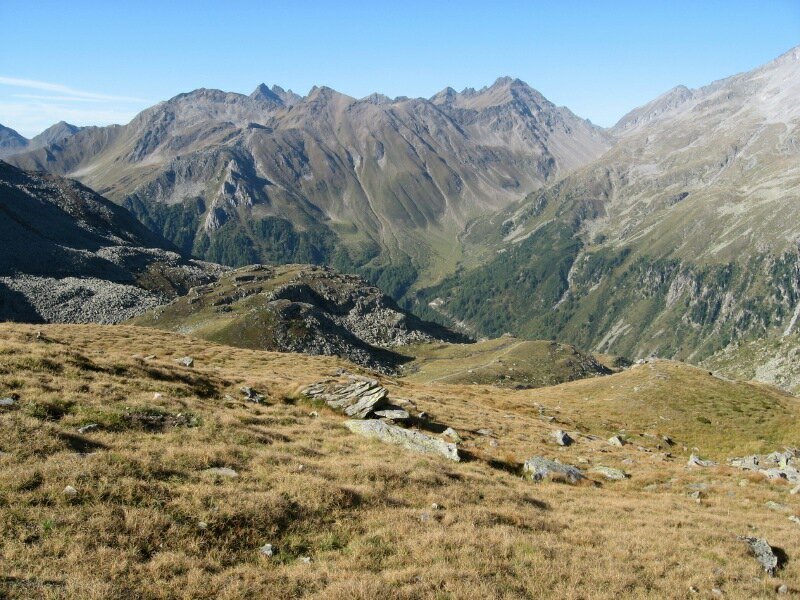
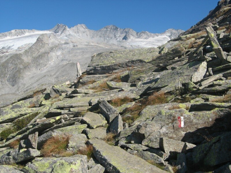
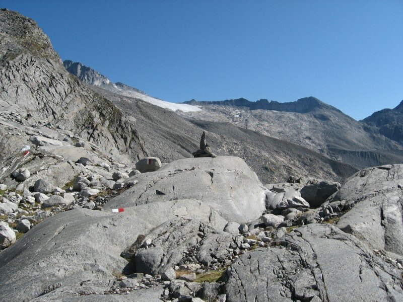
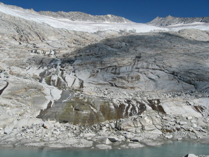
At the foot of Mt. Gran Mesulé and Mt. Punta Bianca we hike quite steeply upwards towards North before the trail leads us down to a mountain brook. We cross it over a small bridge. From here, the trail leads us up and down through the impressive glaciers landscape at the foot of the Zillertal Alps. Since one section of the trail was washed away by a thunderstorm, we hike on a very well signposted alternative trail, which leads us to a beautiful glacier lake. We enjoy breathtaking views of the Fundres mountains, Lake Neves and the Dolomites in the South.
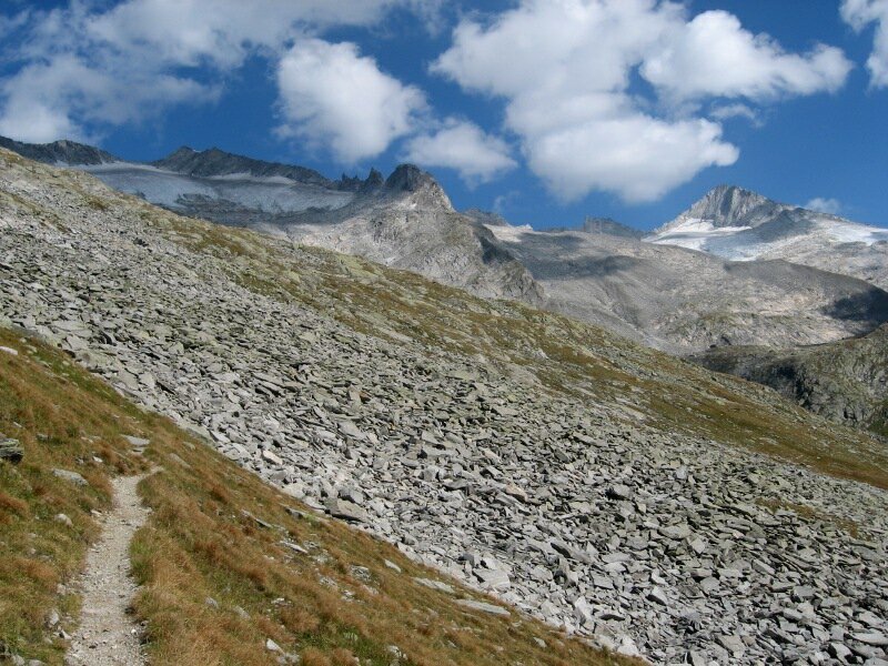
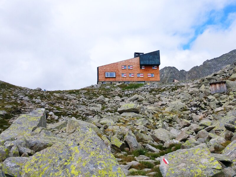
The country is partly grassy, partly rocky, some sections are secured with ropes. Again and again we are impressed by glacier streams rushing down to the valley. After about 3.5 hours of hiking on the Neves High Route we reach Rifugio Ponte di Ghiaccio (Edelrauthütte, 2,545 m a.s.l.), where we taste Toni's delicious local dishes. After a very nice lunch rest we take trail no. 26 through the Valle delle Pipe valley until we finally reach Lake Neves, our starting point. This hiking tour is of medium difficulty and requires a good physical condition as well as good hiking boots. However, after heavy thunderstorms some streams can grow significantly and not be passable anymore. Therefore, a good preparation and early departure are indispensable.
Author: BS
-
- Starting point:
- Lake Neves
-
- Overall time:
- 07:00 h
-
- Total route length:
- 18,5 km
-
- Altitude:
- from 1.868 m to 2.667 m
-
- Altitude difference:
- +1022 m | -1022 m
-
- Route:
- Lake Neves - Neves mountain hut - Porro mountain hut - Alta Via di Neves - Ponte di Ghiaccio mountain hut - Lake Neves
-
- Signposts:
- 24, 1, 26 (Alta Via di Neves)
-
- Resting points:
- Porro and Ponte di Ghiaccio Mountain Huts
-
- Recommended time of year:
- Jan Feb Mar Apr May Jun Jul Aug Sep Oct Nov Dec
-
- Download GPX track:
- Mountain tour on the Neves High Route
If you want to do this tour, we suggest you to check the weather and trail conditions in advance and on site before setting out.