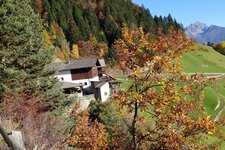
One of the most impressive panoramic hikes all over South Tyrol is the high path snaking across the Val Passiria valley
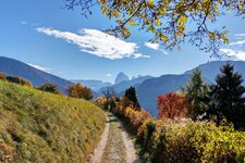
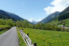
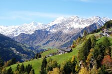
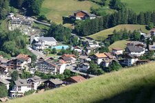
Image gallery: Hike on the Val Passiria High Route
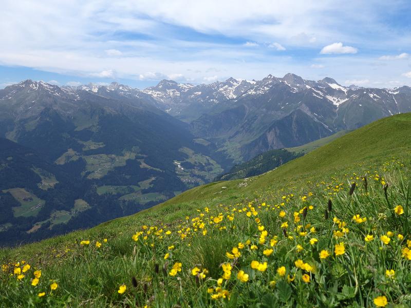

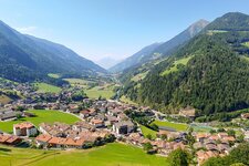
The Cresta del Giovo ridge (Jaufenkamm) is one of the most striking elements catching your eyes when you are driving into the Val Passiria valley, coming from Merano. And this is exactly where the "Alta Via della Val Passiria" - the Val Passiria High Route - snakes its way across the valley, from the Giovo Pass to the Hochalm alpine pasture. By the way, the Cresta del Giovo mountain ridge is the most southern mountain range belonging to the Stubai Alps.
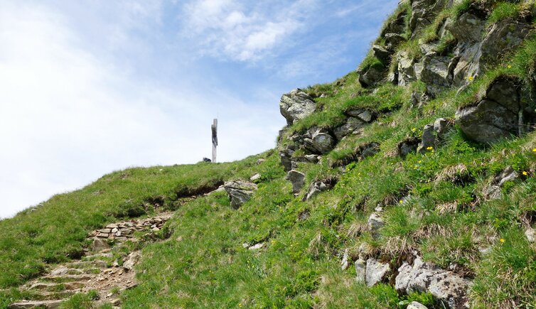
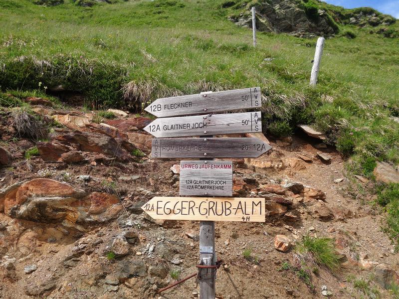
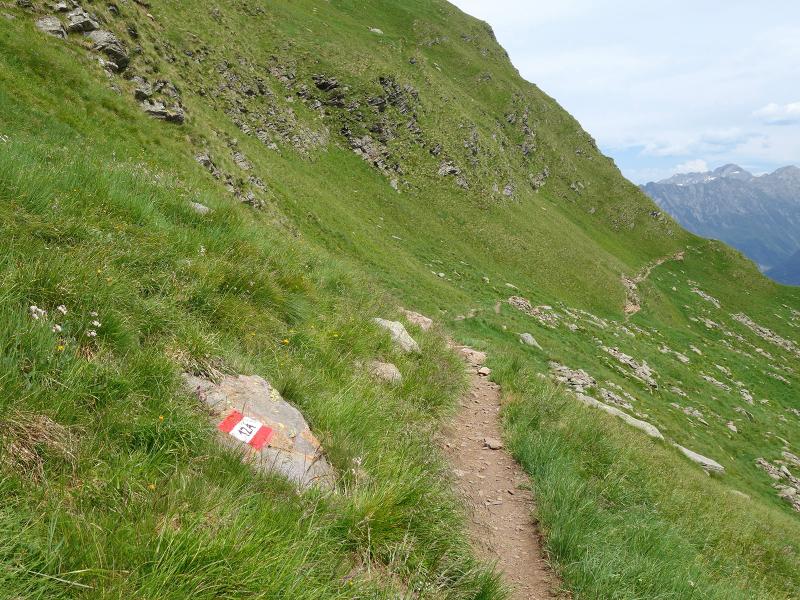
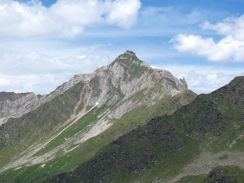
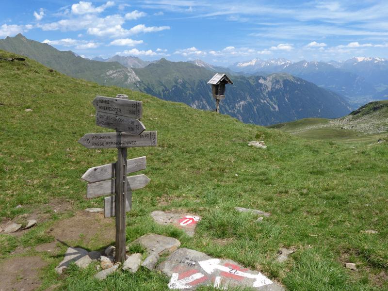
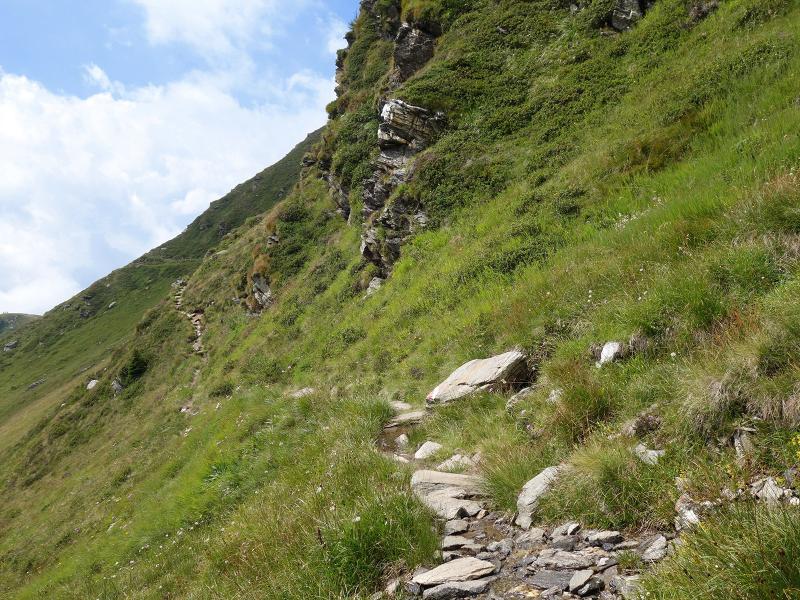
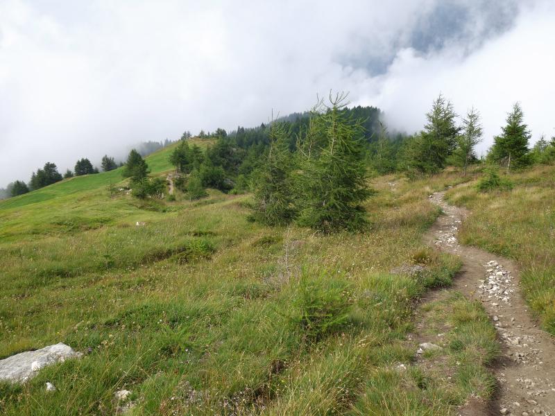
Starting point for our hike is the so called "Römerkehre", which is the highest turn of the Passo Giovo road on the side of the Val Passiria valley (1,950 m a.s.l.). We recommend you to park your car in San Leonardo in Passiria (St. Leonhard in Passeier) and to take the bus heading for the starting point. This is where we take the path no. 12A towards west to the Fleckner Mountain Hut (2,100 m a.s.l.). The path proceeds to Monte Fumaiolo (2,390 m a.s.l.), where you can admire the surrounding mountain peaks of the Oetztal, Stubai, Zillertal and Sarentino Alps.
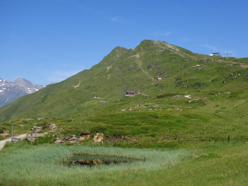
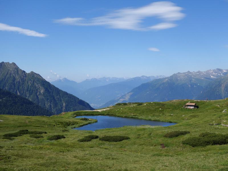
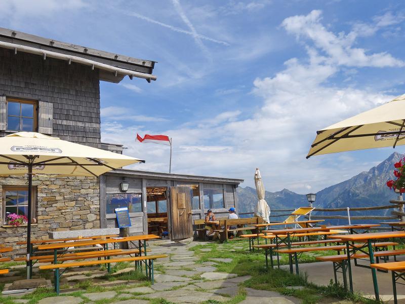
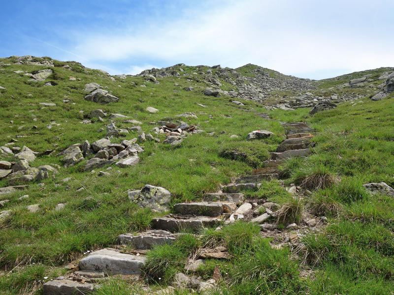
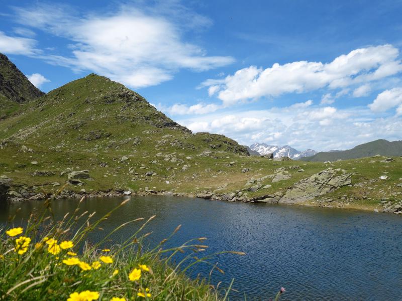
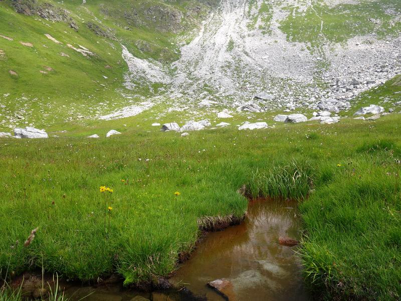
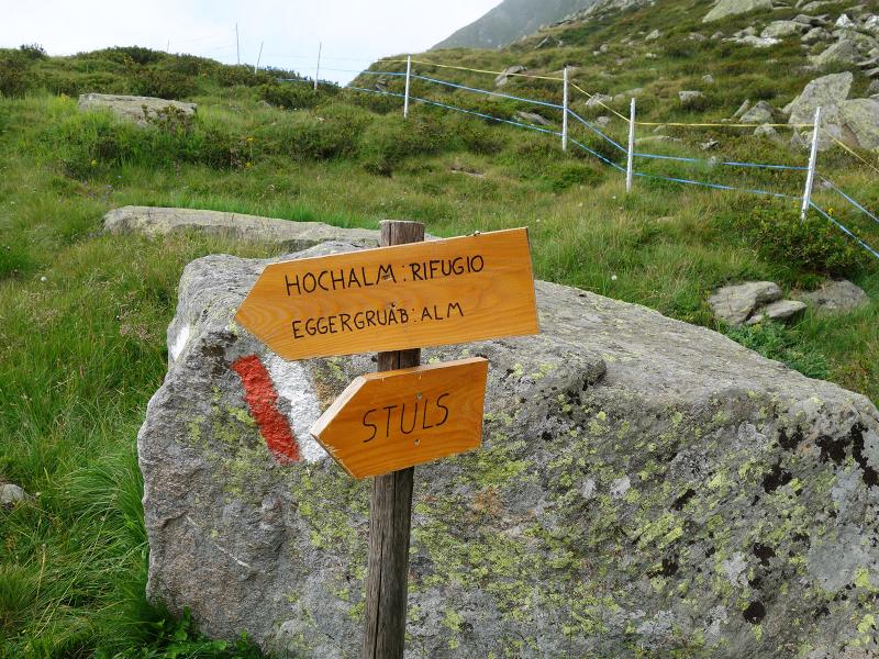
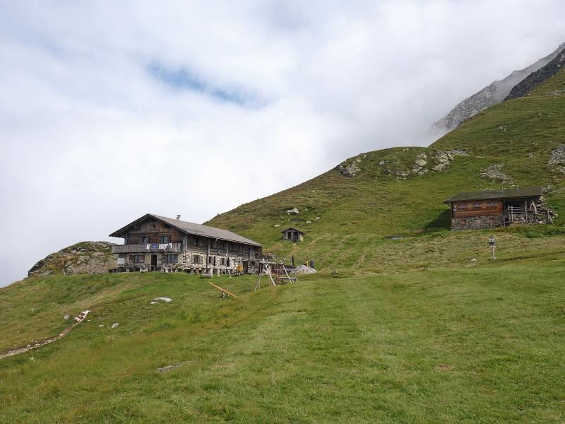
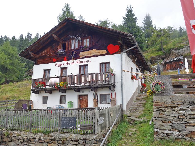
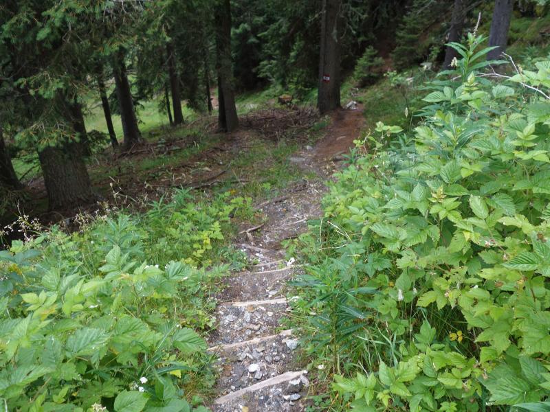
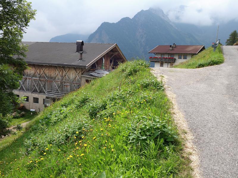
And this is also the highest path of our hike. We proceed via the Schlattacher Pass (2,264 m a.s.l.) to the legendary Lake Malo (Übelsee, 2,313 m a.s.l.). From this lake we proceed towards west on path no. 15, leading us to the Hochalm alpine pasture (2,174 m a.s.l.). After a stop at the alpine pasture, we proceed towards Eggergrubalm mountain hut (1,929 m a.s.l.). The end of our hike is the locality of Stulles (Stuls) in the Upper Val Passiria, where we can also take the bus back to San Leonardo. Elementary surefootedness necessary, hiking boots and poles important. Due to the length of the tour, which should not be underestimated, we recommend this hike only to experienced mountain hikers. Please check the current timetables if you use bus connections to reach the starting point and return from the final destination!
Author: AT
-
- Starting point:
- "Römerkehre" turn along the Passo Giovo pass road, Val Passiria valley
-
- Overall time:
- 05:00 h
-
- Total route length:
- 15,3 km
-
- Altitude:
- from 1.362 m to 2.354 m
-
- Altitude difference:
- +562 m | -1185 m
-
- Route:
- Römerkehre - Fleckner Mountain Hut - Monte Fumaiolo - Schlattacher Pass - Hochalm alpine pasture - Eggergrubalm mountain hut - Stulles
-
- Signposts:
- 12A, 12, 15B, 15, 26, 14
-
- Destination:
- Stulles
-
- Resting points:
- Flecknerhütte, Hochalm, Eggergrubalm
-
- Recommended time of year:
- Jan Feb Mar Apr May Jun Jul Aug Sep Oct Nov Dec
-
- Download GPX track:
- Hike on the Val Passiria High Route
If you want to do this hike, we suggest you to check the weather and trail conditions in advance and on site before setting out.