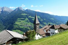
Exploring a rustic and remote alpine landscape in the Val Passiria - a four-hour hike lies ahead
Image gallery: Mountain tour to the Malga Obisell hut
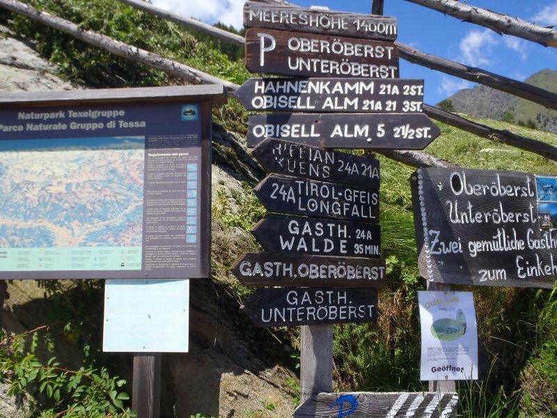
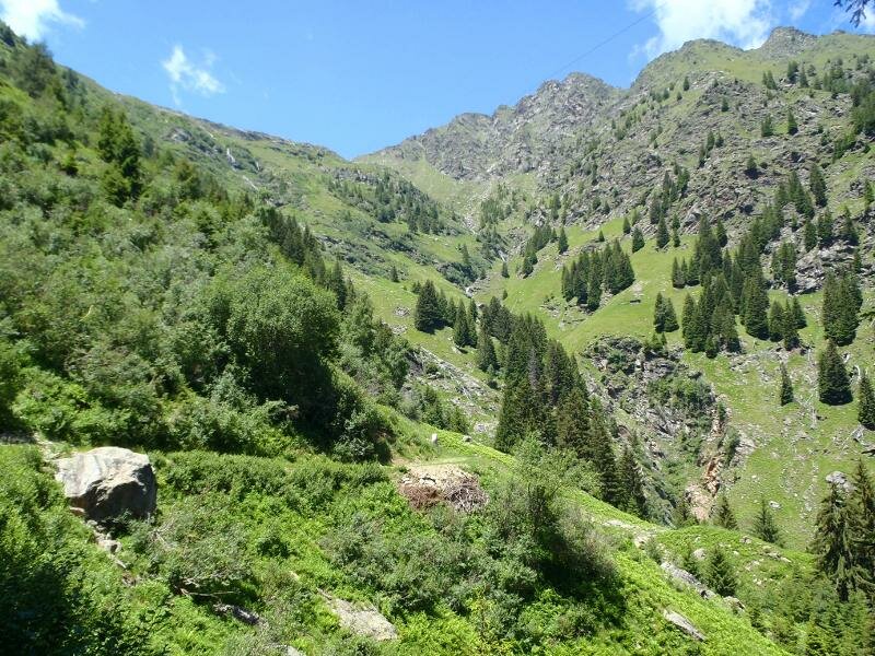
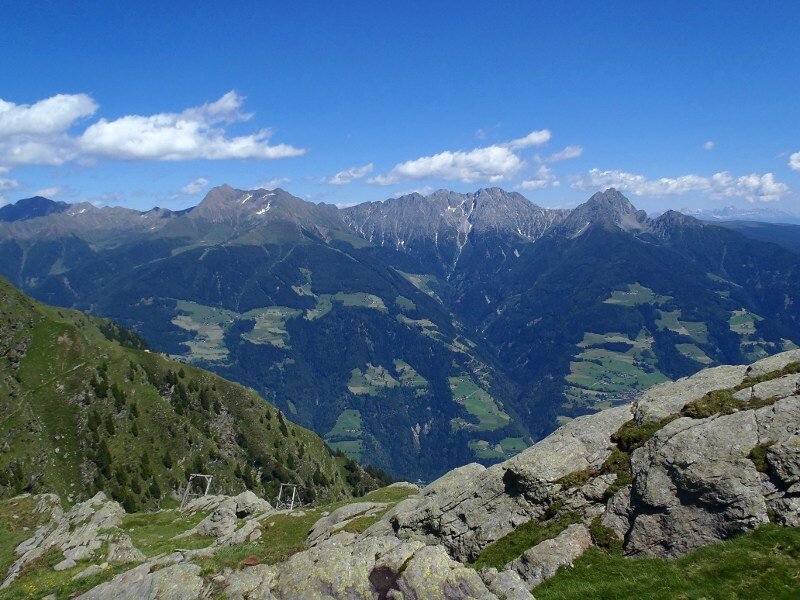
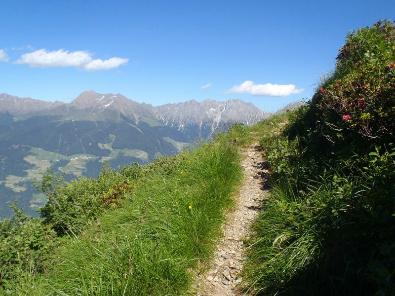
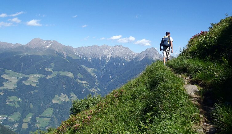
We begin our tour in the early morning in the Val Passiria. Near Rifiano, we turn onto the road towards the hamlet of Vernurio and drive up to the Oberöberst mountain inn at an altitude of 1,392 metres. We start our circular hike to the Obisell Hut on path no. 5. This trail leads us through pleasant larch woods and up steep switchbacks to the tree line.
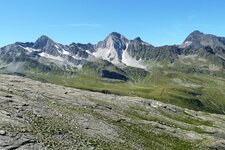
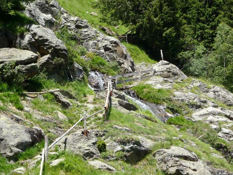
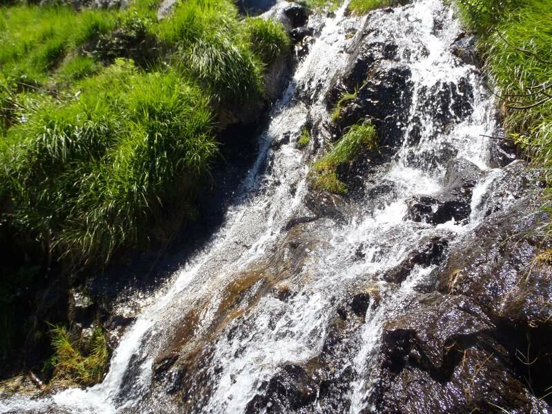
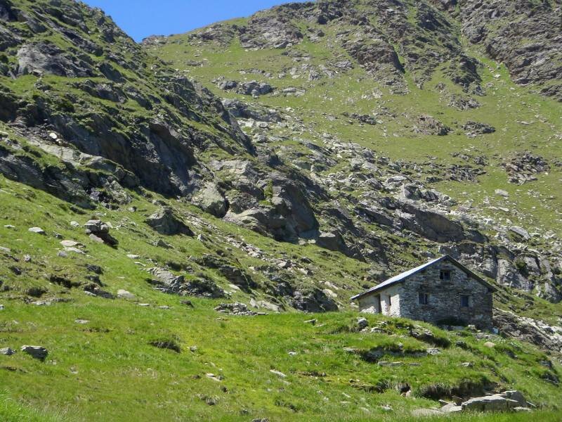
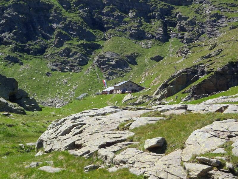
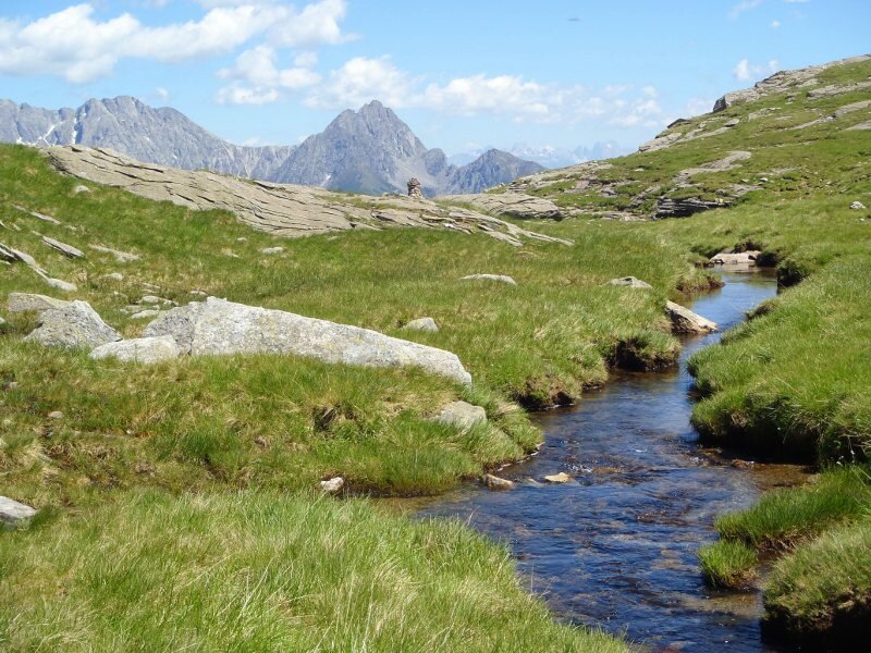
Small waterfalls and mountain streams cross our path. After about two hours, we reach the unmanaged Malga Obisell di Sotto (Lower Obisell Hut). Following a short rest in the shade of the hut, we follow the signs to the Obisell Hut. Along the way, we admire the beautiful alpine roses blooming in the Gruppo di Tessa Nature Park on this June day. We soon reach a small plateau and see our destination. This small, serviced mountain hut sits at 2,160 metres above sea level.
Right next to it, surrounded by steep mountain slopes, lies Lake Obisell. The view down into the valley shows us just how far we have walked. After enjoying a traditional afternoon snack, called "Marende", we start our descent. There are several ways to return to the starting point.
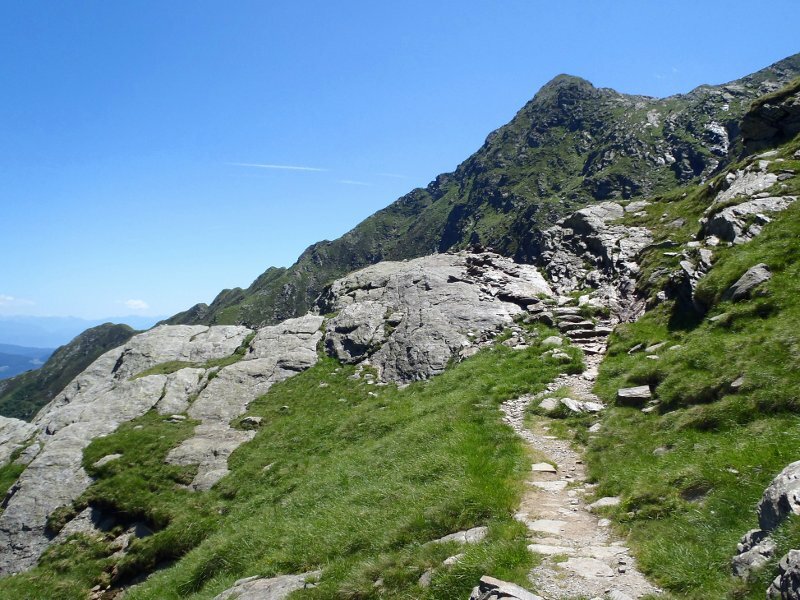
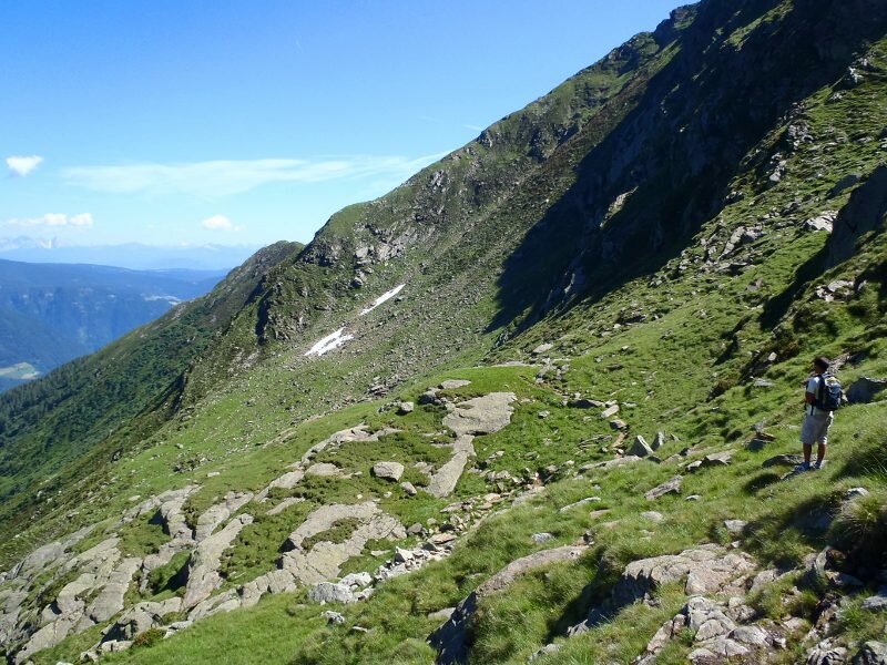
We choose the route via the Hahnenkamm Hut. First, we hike down to the Lower Obisell Hut, where path no. 21 branches off. Sure-footedness is necessary here, as the trail runs along an exposed slope in some sections. The summit cross of the Pitschkopf towers above us.
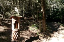
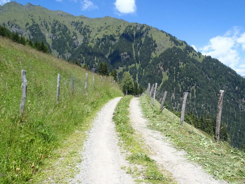
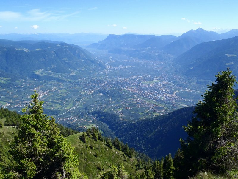
We then reach the Hahnenkamm Hut and finally the Pletziaun clearing. This spot provides an excellent view of the spa town of Merano and its surroundings. Walking past avalanche barriers, we reach a stony forest path. This turns into a wider forest road and leads us after more than four hours back to the Oberöberst mountain inn in Vernurio.
Author: ED
Experienced: June 2011
Last updated: 2026
-
- Starting point:
- Oberöberst mountain inn in Vernurio (1,388 m a.s.l.)
-
- Overall time:
- 04:20 h
-
- Total route length:
- 11,0 km
-
- Altitude:
- from 1.388 m to 2.160 m
-
- Altitude difference (uphill | downhill):
- +859 m | -859 m
-
- Route:
- Oberöberst mountain inn - Lower Obisell Hut - Obisell Hut - Lake Obisell - Lower Obisell Hut - Hahnenkamm Hut - Pletziaun viewpoint - Oberöberst mountain inn
-
- Signposts:
- no. 5, 21A, 21
-
- Destination:
- Obisell Mountain Hut (2,160 m a.s.l.)
-
- Resting points:
- Oberöberst mountain inn, Obisell Hut, Hahnenkamm Hut (both from June to October)
-
- Recommended time of year:
- Jan Feb Mar Apr May Jun Jul Aug Sep Oct Nov Dec
-
- Download GPX track:
- Mountain tour to the Malga Obisell hut
-
- More information:
- The total time indicated above refers to the walking time only, excluding breaks. The mountain tour to the Obisell Hut isn't particularly demanding, but you should be in good physical shape as the path is very steep and, at over four hours, it's also quite long.
If you want to undertake this hike, we recommend checking the weather and trail conditions in advance and on site before starting this hike!