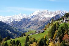
This circular walk leads from Valtina to the Sailer Pass and offers lovely views of the neighbouring Val Sarentino valley
Image gallery: Border area hike in the Val Passiria

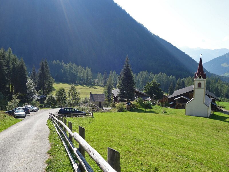
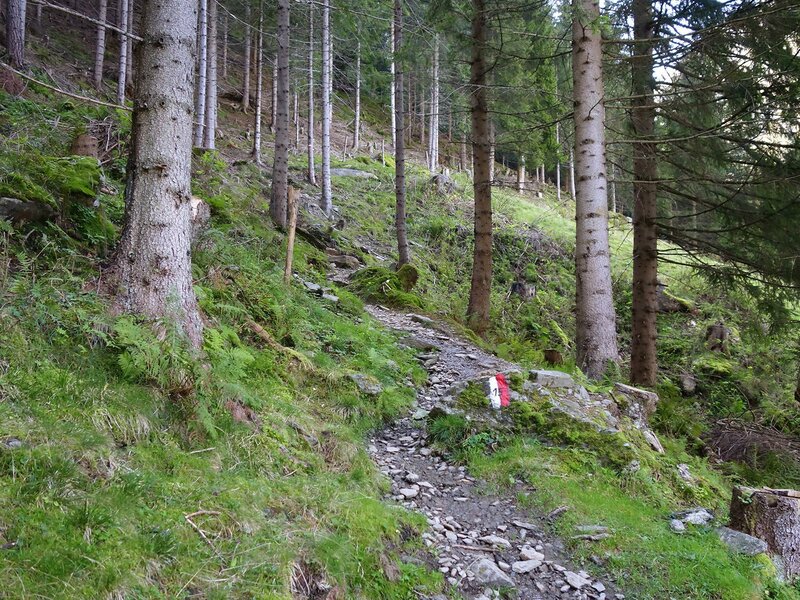
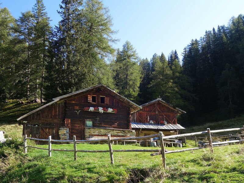
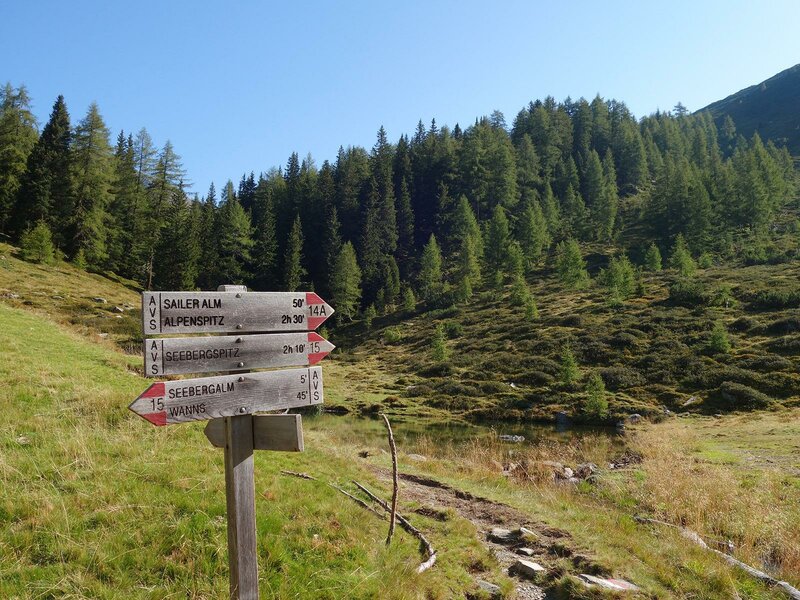
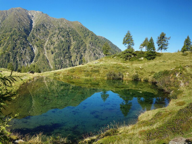
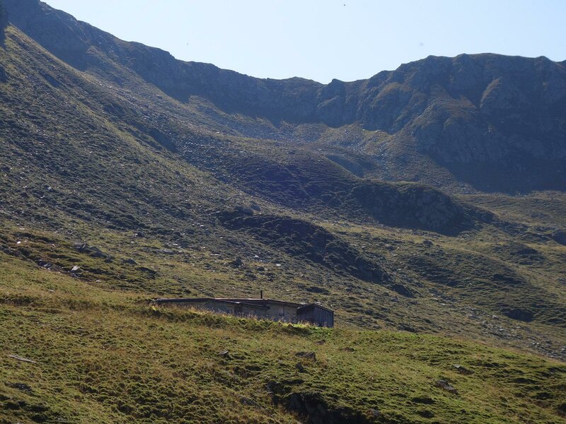


The hike starts at the Wanserhof mountain inn in Valtina at an altitude of 1,414 metres, located at the head of Val di Vannes. Here, we initially follow path no. 15 and then no. 12 towards the Seeberg Hut. From there, the route continues along path no. 14A, past Lake Seeberg and onwards to the Sailer Hut. It is located in the Sailer Valley in the Sarentino Alps above the 2,000-metre mark.
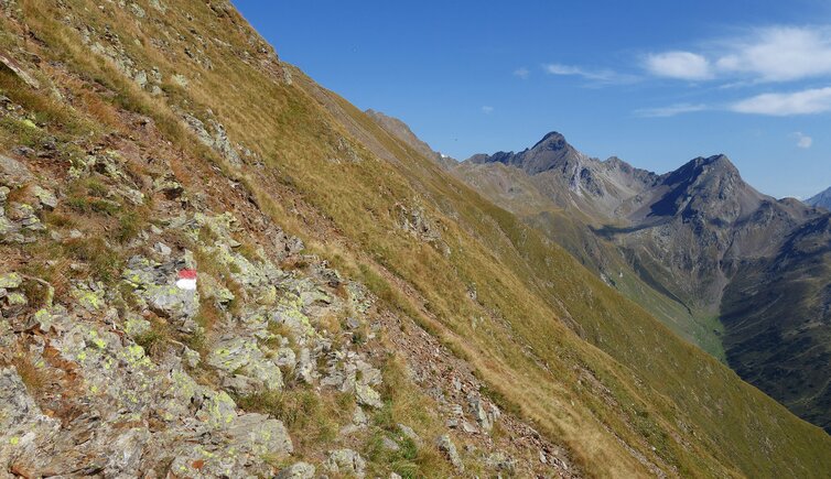
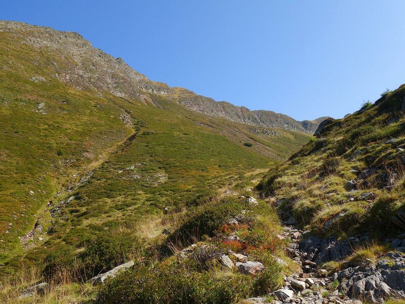
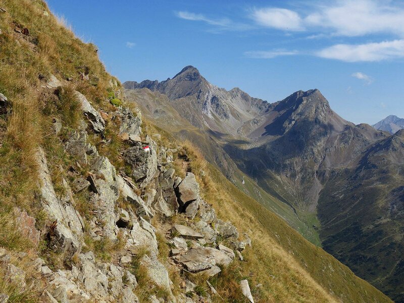
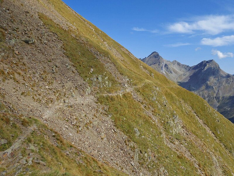
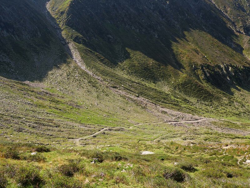
Shortly before reaching the hut, a steep path branches off to the left towards the eastern Sailer Pass, which is also known as the Oberes Grubenjoch (2,330 metres above sea level). After this somewhat strenuous climb, we walk through the gate in the small boundary fence that separates the high alpine pastures of the Val Passiria from the Val Sarentino area.
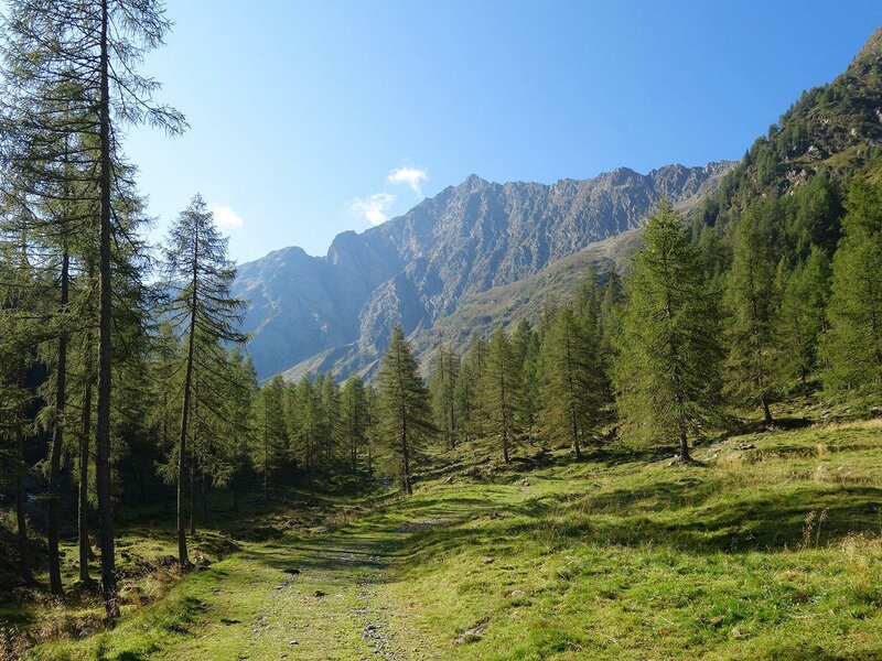
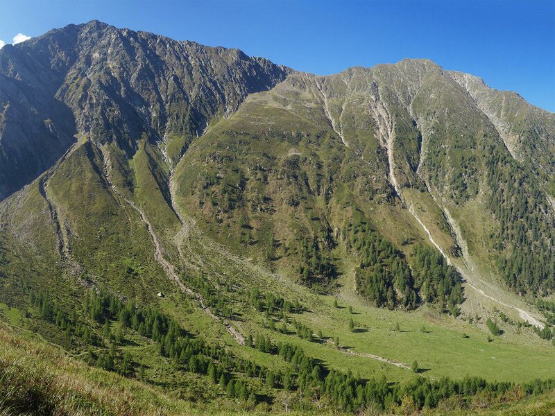
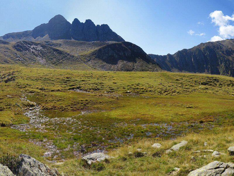
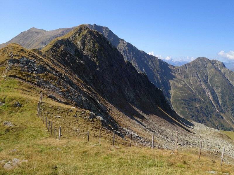
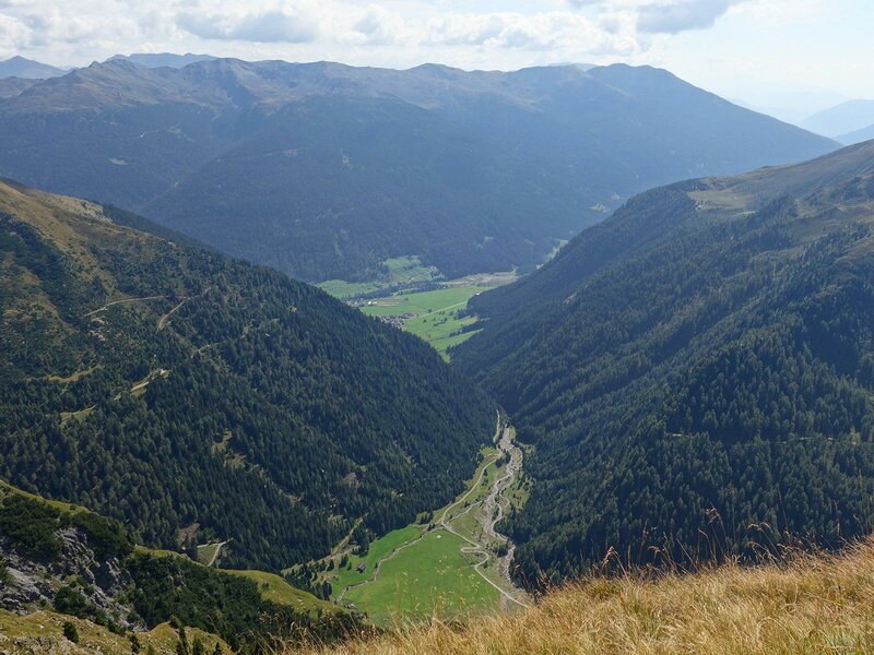
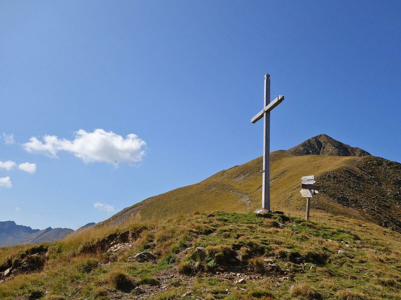
A steep slope drops down into the Unterberg-Tal, a side valley of the Val Sarentino. Here, we now follow path no. 12B, which runs northeast below the Cima dell'Alpe peak, to the Giogo di Vannes ridge. With Mt. Corno Bianco di Pennes in view and exercising the necessary caution in this steep, sloping terrain, we reach the cross at the crossing and descend to the left along path no. 14 into the Val di Vannes. The path winds downwards before joining an old military road.
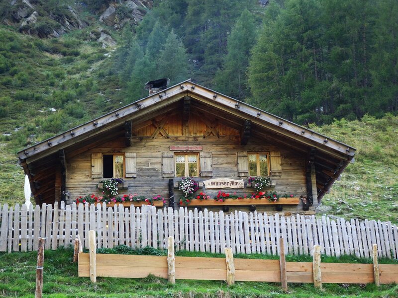
This takes us down to the Vannes Hut (Wanser Alm) at 1,640 metres a.s.l.. After more than four hours, this is the first place to stop for refreshments along the way. From here, it is not much further to the Wanserhof - this final section runs along a wide alpine road on the valley floor.
Author: AT
Experienced: September 2020
Last updated: 2026
-
- Starting point:
- Wanserhof mountain inn in Valtina (1,414 m a.s.l.)
-
- Overall time:
- 05:00 h
-
- Total route length:
- 12,1 km
-
- Altitude:
- from 1.414 m to 2.372 m
-
- Altitude difference (uphill | downhill):
- +958 m | -958 m
-
- Signposts:
- no. 15, 12, 14A, 12B, 14
-
- Resting points:
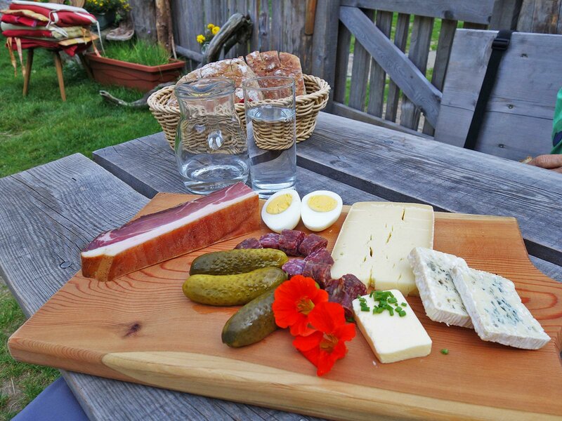
- Wanserhof mountain inn, Vannes Mountain Hut (May/June to October)
-
- Recommended time of year:
- Jan Feb Mar Apr May Jun Jul Aug Sep Oct Nov Dec
-
- Download GPX track:
- Border area hike in the Val Passiria
-
- More information:
- The total time indicated above refers to the walking time only, excluding breaks. The trail section from the Sailer Pass to the Giogo di Vannes is easy to walk on, but narrow and partly a bit exposed - therefore, a head for heights and good hiking boots with non-slip soles are absolutely essential. We also recommend bringing a packed lunch, as the only refreshment stop along the route, the Vannes Hut, is located at the end of what is actually quite a long.
If you want to undertake this hike, we recommend checking the weather and trail conditions in advance and on site before starting this hike!