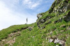
A spring walk from San Leonardo in Passiria to Saltusio - the high trail runs along the eastern mountain slope
Image gallery: Panoramic hike in the Val Passiria valley
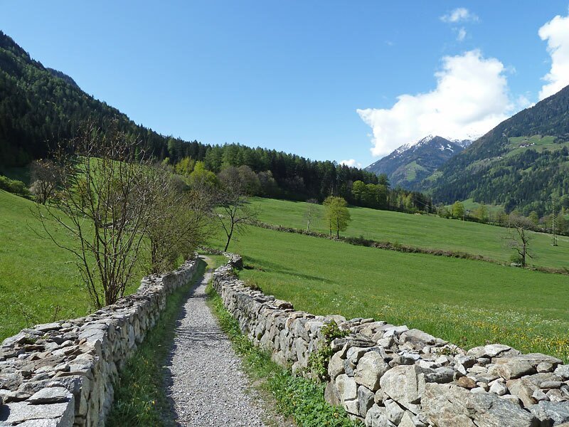
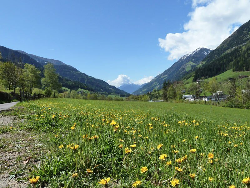
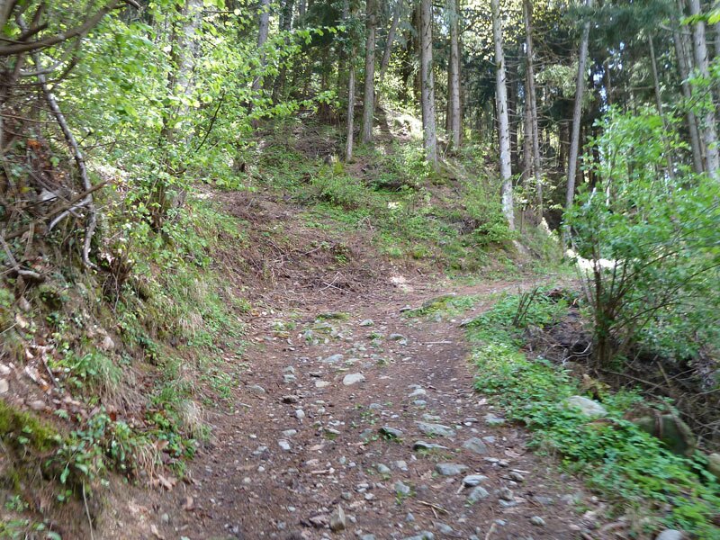
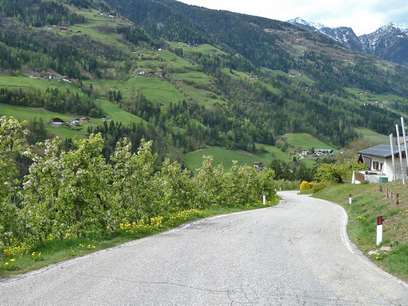
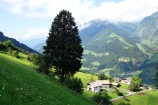
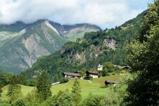
In the centre of San Leonardo in Passiria, we follow signpost no. 3 (Andreas-Hofer-Weg) and walk southwards along the slope via the Via della Chiesa and Via Happerg roads. The path is paved up to the edge of the forest, and then it continues through a meadow landscape.
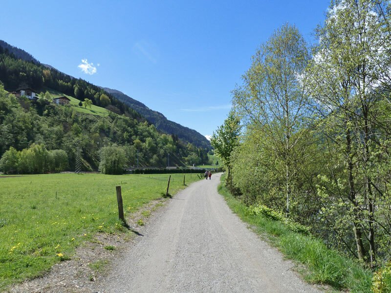
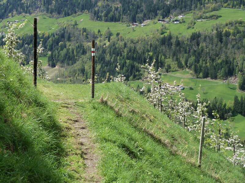
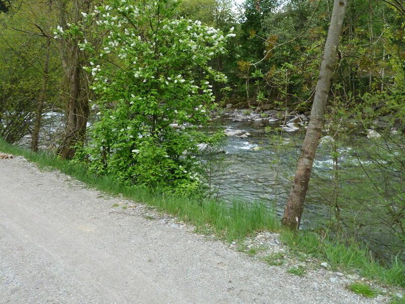
The information boards along the Andreas Hofer circular trail detail the history and nature surrounding the Sandhof, Hofer's birthplace. We leave the circular trail where it turns right, and we continue our walk towards San Martino. We follow the Kammerveit path (no. 1A). Here, our route joins the Passirio path, which is also the Val Passiria Cycle Path.
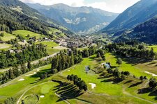
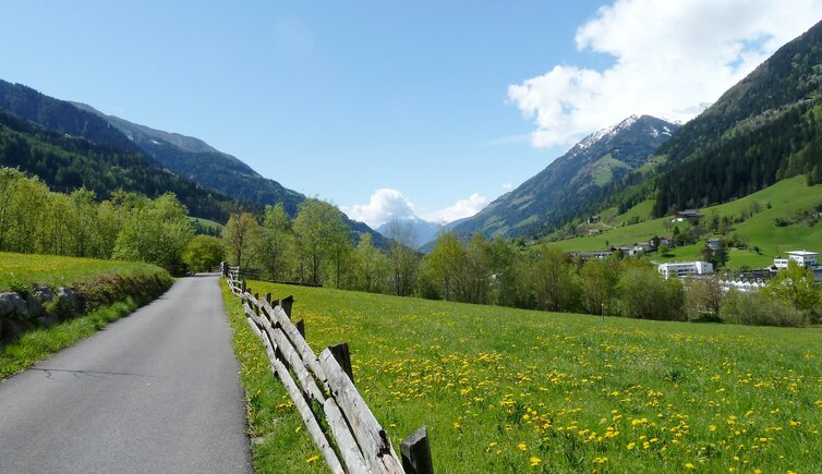
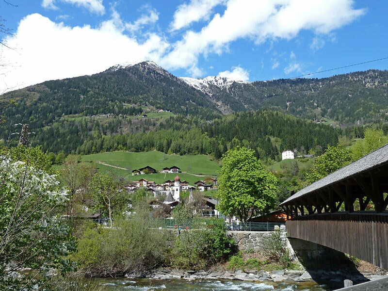
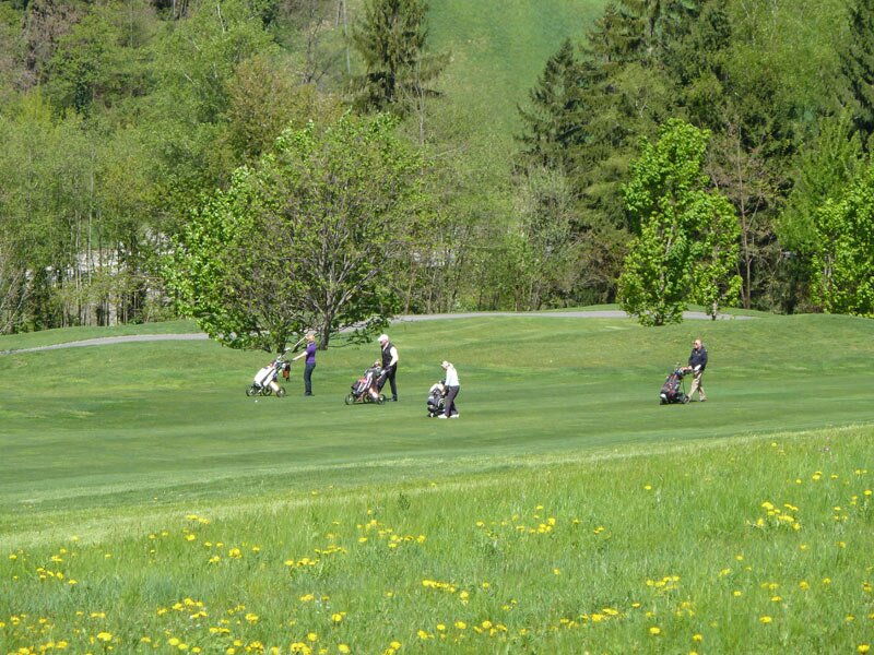
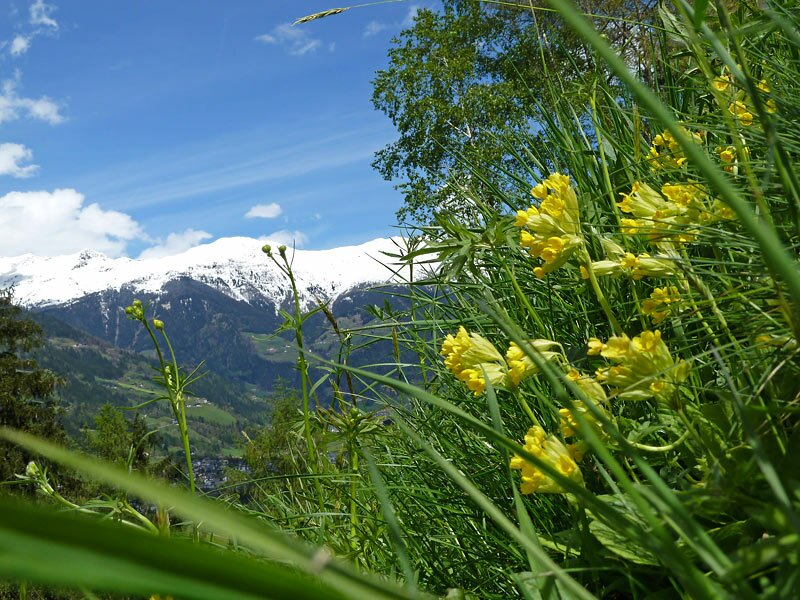
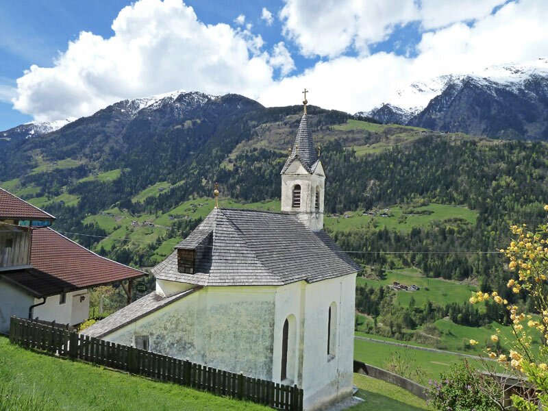
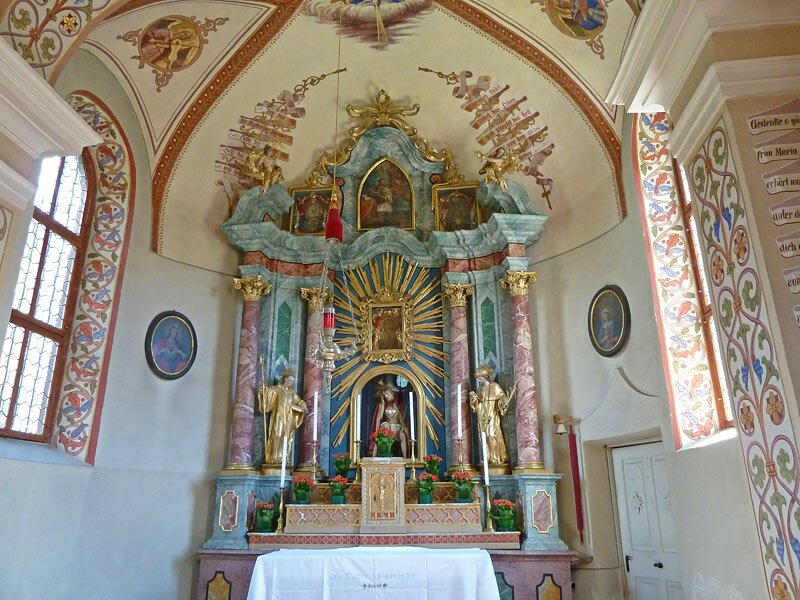
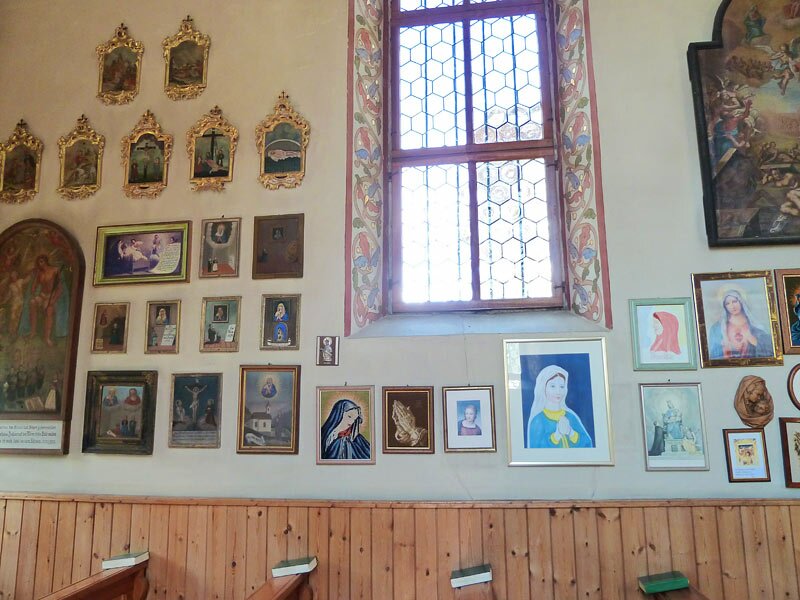
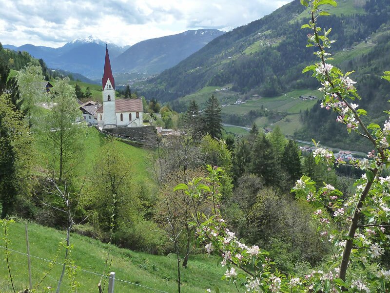
At the wooden bridge leading to San Martino, we follow signpost no. 5. This first takes us past the Passiria.Merano Golf Club in Prantago and then climbs steeply up the mountain. We walk along the pilgrim path to the Marian sanctuary of Mora. Once at the top, we can admire the church and enjoy the views across the Val Passiria. Afterwards, we continue on path no. 6 to Sant'Orsola.
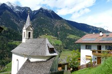
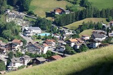
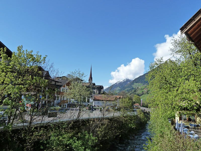
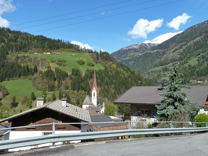
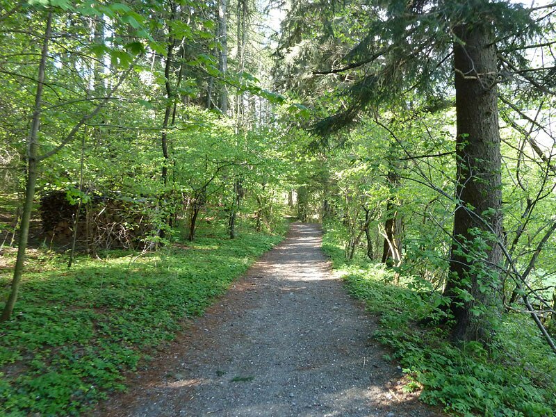
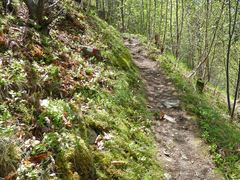
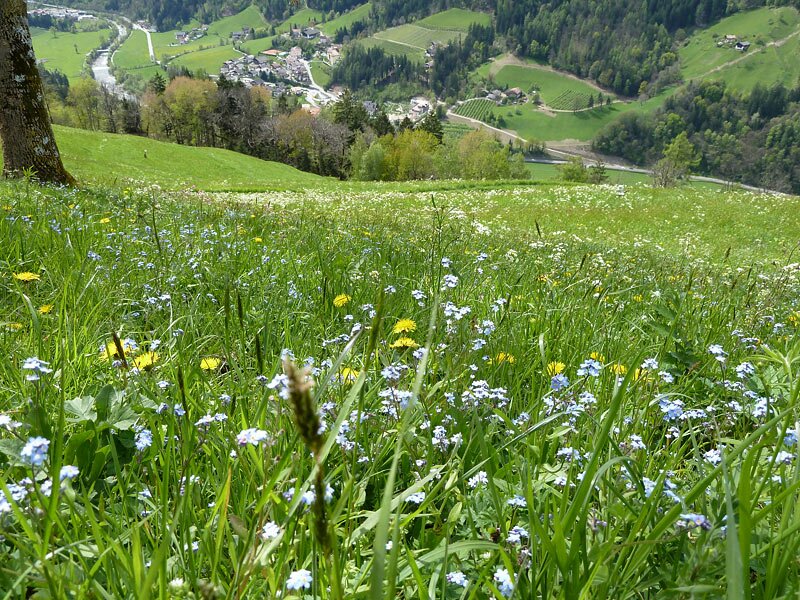
It winds its way through the forest as a narrow trail. Numerous meadows surround Sant'Orsola, a small village featuring the highly visible St. Ursula Church, and these are in full bloom in April. The descent into the valley to Saltusio is on a paved road. We then walk along the Passirio path to the bus stop, arriving after a three-and-a-half-hour walk. The bus takes us back to San Leonardo.
Author: AT
Experienced: April 2012
Last updated: 2026
-
- Starting point:
- village centre of San Leonardo in Passiria (689 m a.s.l.)
-
- Overall time:
- 03:30 h
-
- Total route length:
- 13,9 km
-
- Altitude:
- from 462 m to 865 m
-
- Altitude difference (uphill | downhill):
- +457 m | -665 m
-
- Signposts:
- "Andreas-Hofer-Rundweg", no. 3, 5, 1A, 30, 5, 6A, 6, 30
-
- Destination:
- Saltusio (490 m a.s.l.)
-
- Resting points:
- bars and restaurants in the single villages
-
- Recommended time of year:
- Jan Feb Mar Apr May Jun Jul Aug Sep Oct Nov Dec
-
- Download GPX track:
- Panoramic hike in the Val Passiria valley
-
- More information:
- The total time indicated above refers to the walking time only, excluding breaks. This applies to the hike from San Leonardo to Saltusio - the return journey is by bus.
If you want to undertake this hike, we recommend checking the weather and trail conditions in advance and on site before starting this hike!