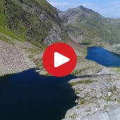
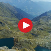
Europe’s largest group of high-alpine lakes is one of the most impressive mountain lake landscapes along the main Alpine ridge
Image gallery: Mountain tour Valcanale Pass and Sopranes Lakes
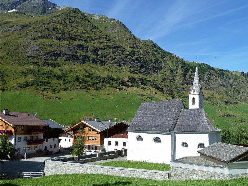
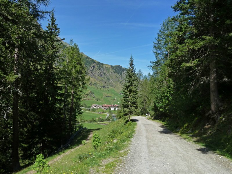
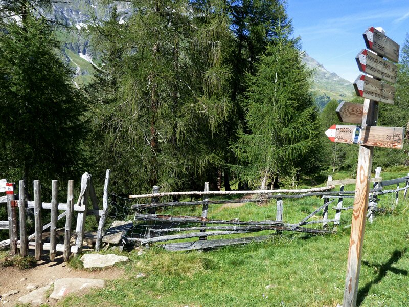
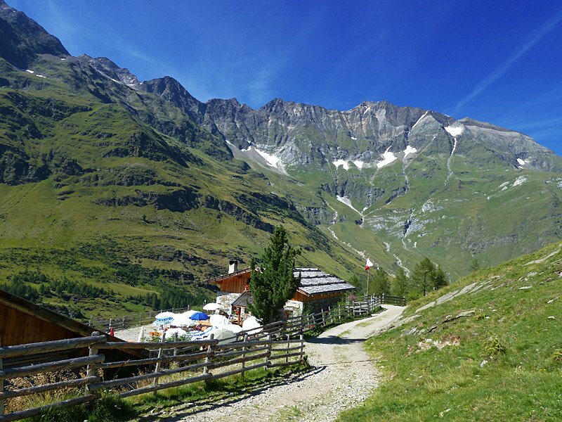
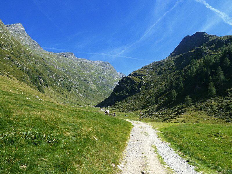
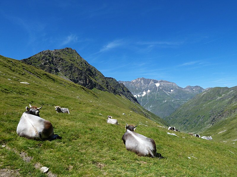
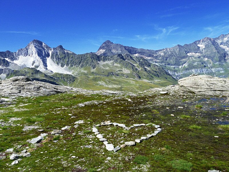
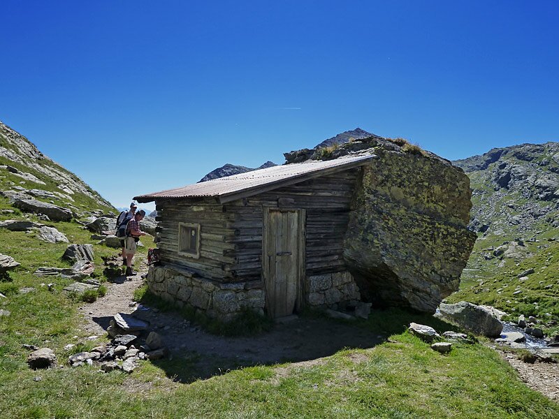
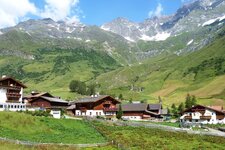
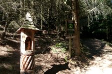
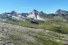
We start in Plan in the Upper Val Passiria and follow trail no. 6 to the Valcanale, or Faltschnal, Hut. The path initially runs almost flat through the Valle di Plan, but it then climbs steeply through the forest. At the hut, at an altitude of 1,875 metres, the trail joins a gravel road that takes us above the tree line. In the valley of the Rio Valcanale stream, we continue through a green landscape of alpine meadows where Haflinger horses and cows graze.
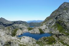
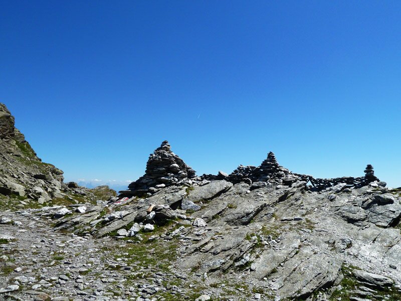
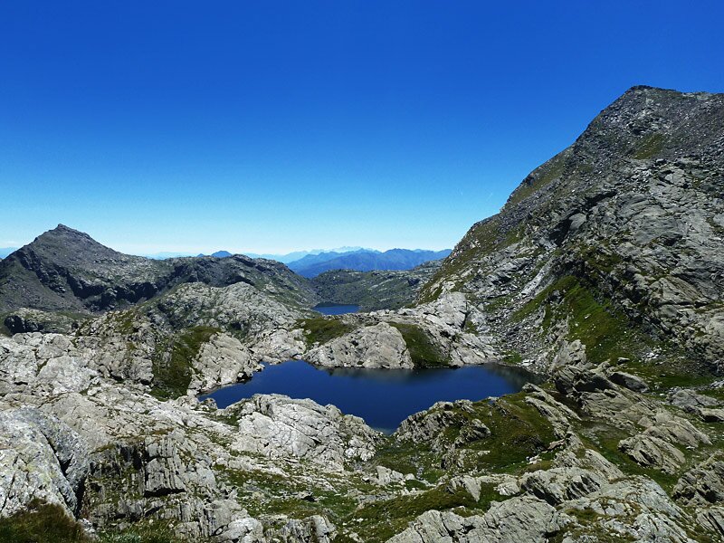
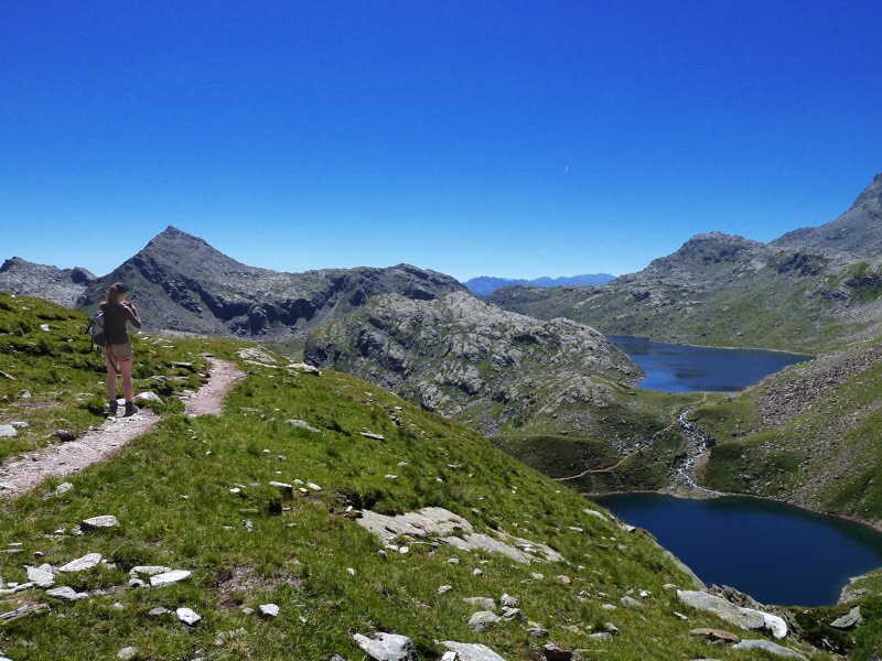
At the Valcanale Pass at an altitude of over 2,400 metres, we are almost at the top. Past the cairns that mark the crossing of the Passo di Sopranes - the highest point of our tour - we soon see the first of the Sopranes Lakes. The Lago del Catino and Lago Lungo (Long Lake) sparkle blue amidst the grey rocky landscape. Trail no. 6 leads us down to the Lago Lavagna in a high moor.
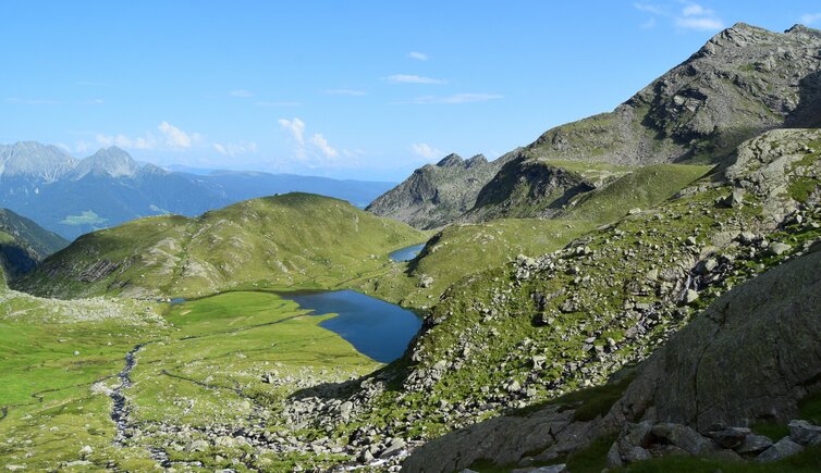
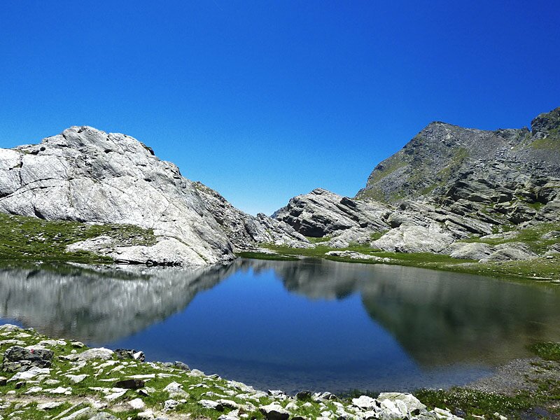
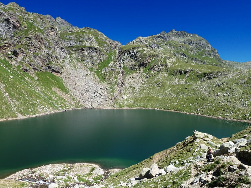
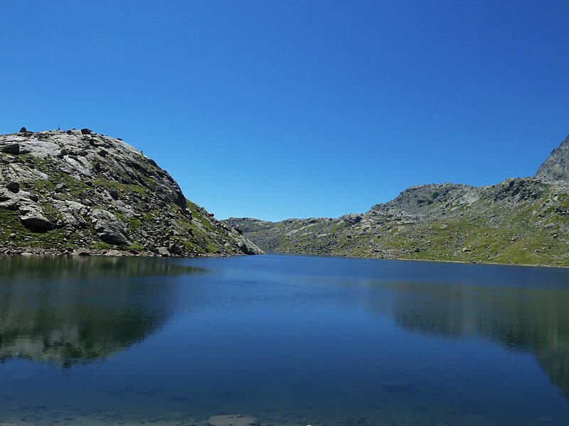
The final part of the descent brings us to the beautiful Lago Verde (Green Lake) at 2,342 metres above sea level in the Gruppo di Tessa Nature Park. We also do not want to miss the largest of the Sopranes Lakes, the Long Lake. We follow trail no. 22 upwards for another 10 minutes towards the Laghi del Latte (Milk Lakes). The Long Lake rewards us with a fantastic panorama, and we eat our packed Speck sandwiches here. There are two options to extend the mountain hike further.
You can either head west up to the Milk Lakes (an additional 45 minutes and almost 200 metres in altitude for the round trip), or head down to the Oberkaser Mountain Hut (an additional 45 minutes and almost 230 metres in altitude, with a place to stop for refreshments).
However, since time has flown by, we decide to head straight back. The return journey still requires a three-hour walk and follows the same route back to Plan.
Author: AT
Experienced: August 2013
Last updated: 2026
-
- Starting point:
- parking space before the village of Plan (1,597 m a.s.l.)
-
- Overall time:
- 07:00 h
-
- Total route length:
- 19,1 km
-
- Altitude:
- from 1.597 m to 2.590 m
-
- Altitude difference (uphill | downhill):
- +1276 m | -1276 m
-
- Signposts:
- no. 6, 22
-
- Destination:
- Sopranes Lakes (10 lakes between 2,117 m and 2,589 m a.s.l.)
-
- Resting points:
- Valcanale Mountain Hut (June to October)
-
- Recommended time of year:
- Jan Feb Mar Apr May Jun Jul Aug Sep Oct Nov Dec
-
- Download GPX track:
- Mountain tour Valcanale Pass and Sopranes Lakes
-
- More information:
- The time indicated above refers to the walking time only, excluding breaks.
We highly recommend checking the weather and trail conditions in advance and on site before starting this tour.