The lake district of Sopranes is one of the most impressive mountain lake landscapes in the Alpine area: The way up is not an easy walk, but leaves lasting impressions and views
Image gallery: Mountain tour Valcanale Pass and Sopranes Lakes
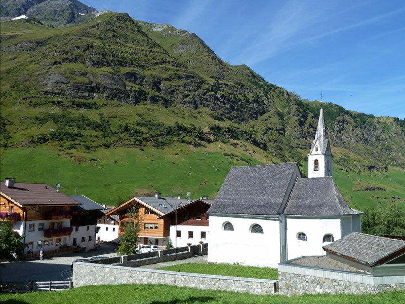
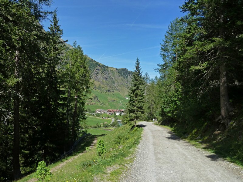
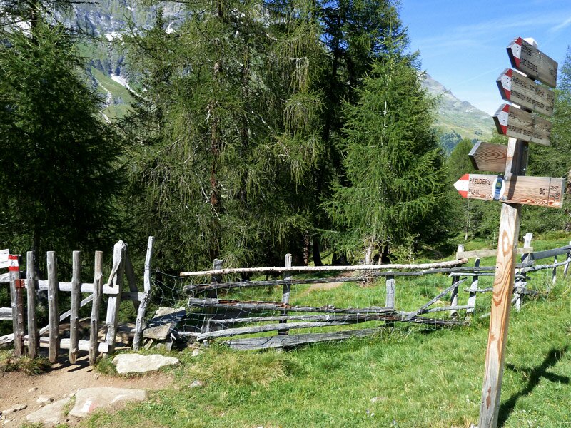
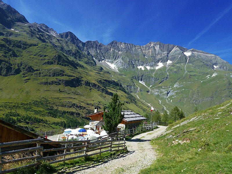
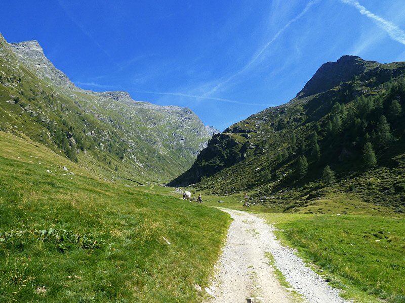
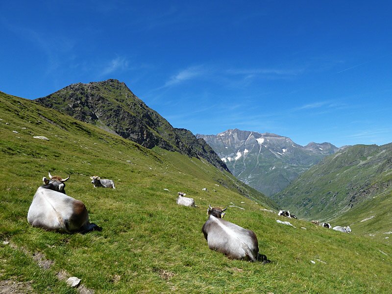
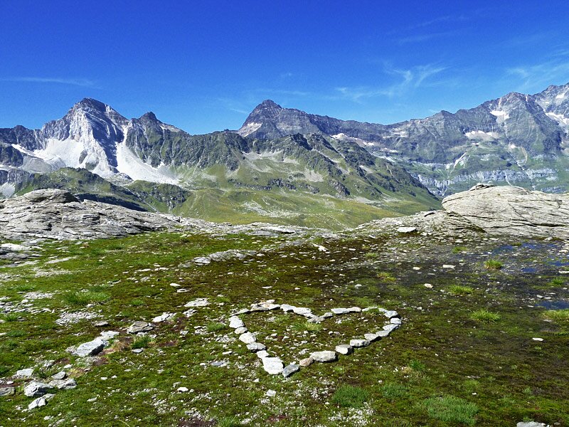
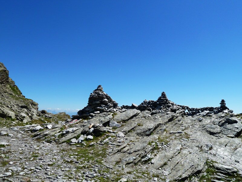
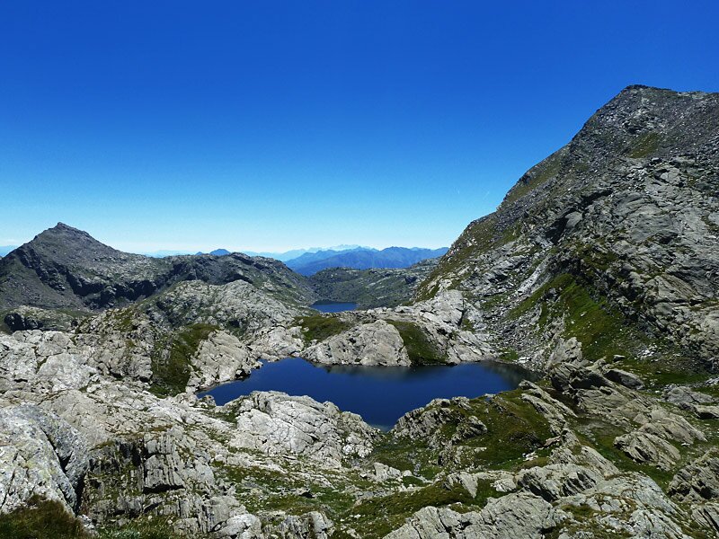
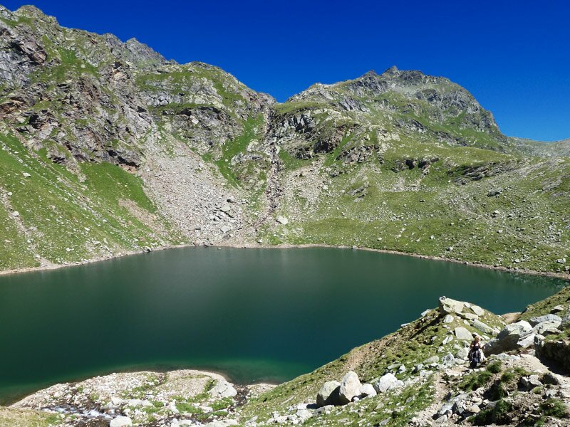
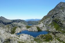
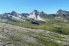
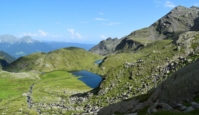
Our tour starts in the rear section of the Val Passiria, in Plan (Pfelders) at 1,650 m a.s.l. We follow the signpost no. 6 to the Valcanale Mountain hut (Falschnal Alm). At the beginning, the path is rather plain and follows the course of the valley. At the alpine pasture, at 1,875 m a.s.l., it joins the gravel path, proceeding to the tree line. Following the course of the Rio Valcanale river, we walk up the green Alpine landscape, with grazing cows and horses. At the Passo di Valgrande ridge at 2,400 m a.s.l., we almost made it. Still 180 m of altitude need to be overcome in order to reach the highest point, the Sopranes Pass (Spronser Joch). Past cairns, marking the pass, we soon reach the first lakes. The first are Lake Catino (Kesselsee) and the Long Lake (Langsee).
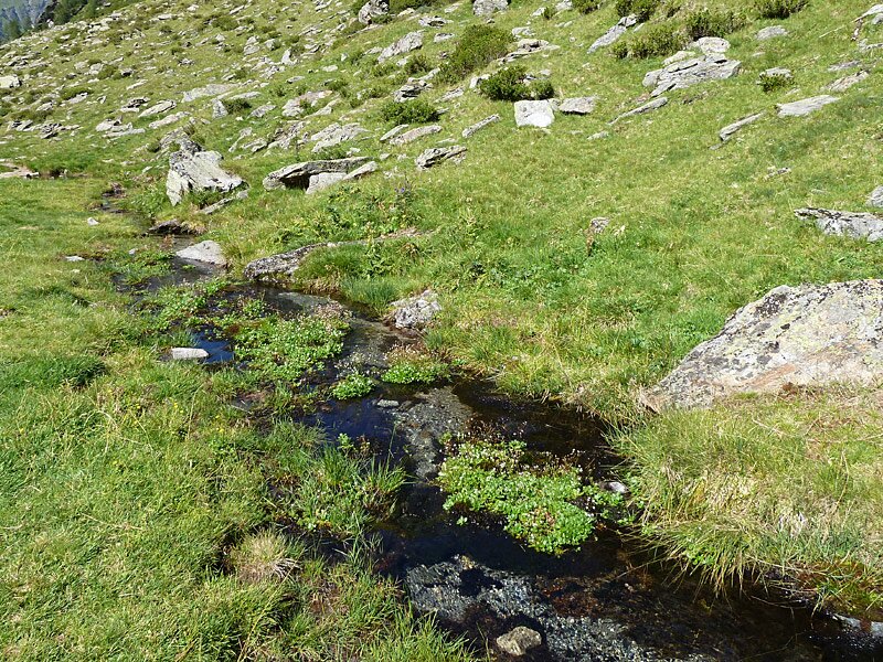
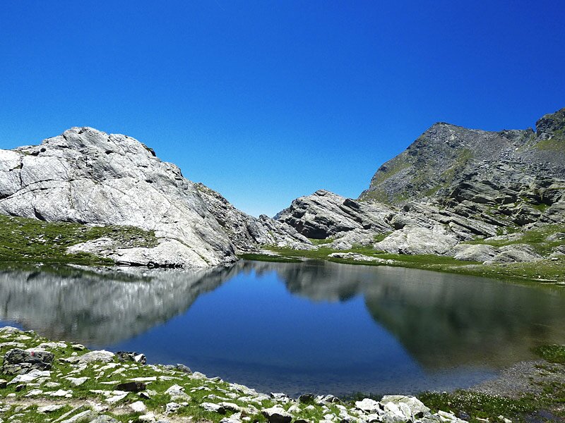
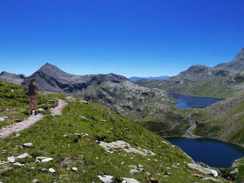
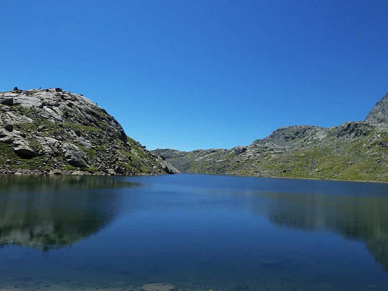
The path no. 6 takes us down to Lake Lavagna (Schieferlacke), located in a hill moor area, in which the scars, high Alpine flora alternates with stone deserts and snow fields. The last section of the decent takes us to the Green Lake (Grünsee) at 2,342 m a.s.l. We absolutely do not want to miss the largest of the Sopranes Lakes (Spronser Seen), the Long Lake, and therefore we walk the path no. 22 for about 10 minutes, leading towards the Laghi del Latte lakes (Milk Lakes, Milchseen).
They reward our efforts with a breathtaking mountain scenery. This is also where we have our packed lunch, what a delight. From this point you have two possibilities to extend your tour, either towards west to the Laghi del Latte lakes (+45 minutes and 200 m of altitude difference, both directions), or down to the Oberkaser Mountain Hut (+45 minutes and almost 230 m of altitude both directions, possibility to stop). As time has gone by very fast, we decide to wak back, as there are still 3 hours left to be done before we reach our starting point.
Author: AT
-
- Starting point:
- Plan (parking space)
-
- Overall time:
- 07:00 h
-
- Total route length:
- 19,1 km
-
- Altitude:
- from 1.617 m to 2.590 m
-
- Altitude difference:
- +1276 m | -1276 m
-
- Signposts:
- no. 6, 22
-
- Destination:
- Spronser Seen Lakes
-
- Resting points:
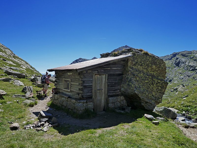
- Falschnal Alm
-
- Recommended time of year:
- Jan Feb Mar Apr May Jun Jul Aug Sep Oct Nov Dec
-
- Download GPX track:
- Mountain tour Valcanale Pass and Sopranes Lakes
If you want to do this tour, we suggest you to check the weather and trail conditions in advance and on site before setting out.