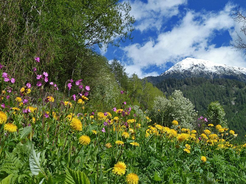
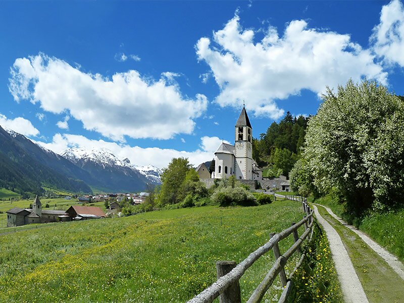
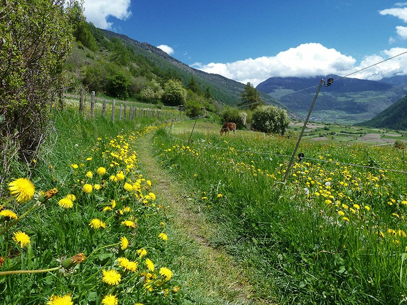
This hike leads you from the Swiss Val Monastero valley to Glorenza in the western Val Venosta, on the traces of the reawakening nature
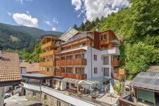
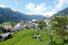
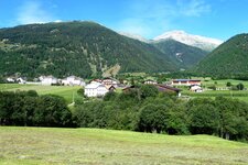
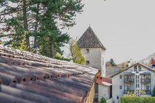
Image gallery: Hike on the Turnauna and the Glorenza Waalwege paths
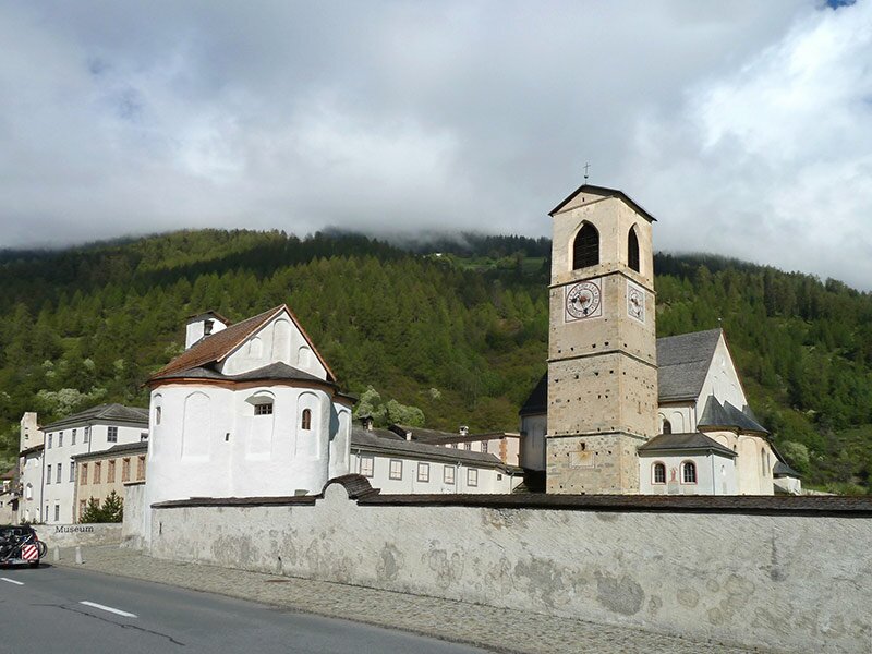
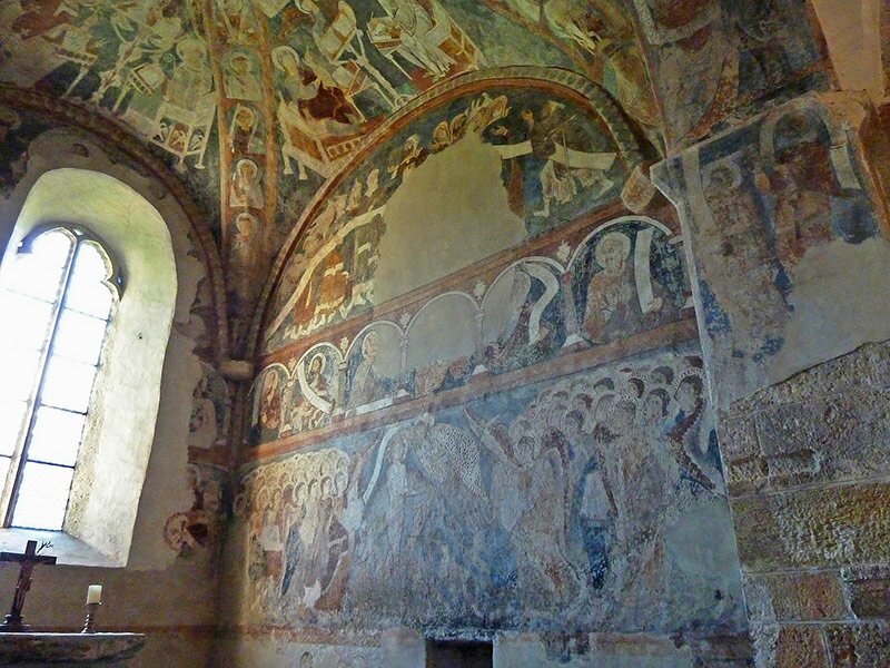
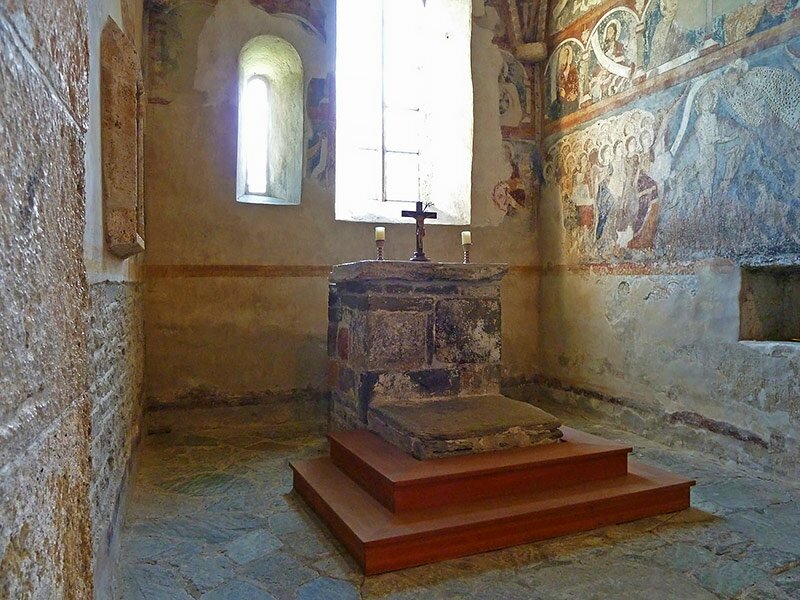
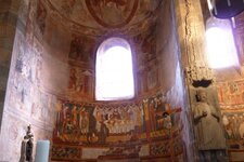
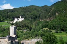
Nature, history and culture all in one, this is what our discovery tour through the Val Monastero valley offers. Starting point is the Son Jon Monastery at Müstair, located just behind the border to Switzerland in the west of Tubre in Val Monastero (Taufers im Münstertal). The church of the monastery, dating back to the period of Charlemagne, is the first highlight of our tour. The early Mediaeval frescoes in the interior belong to the World Heritage sites.
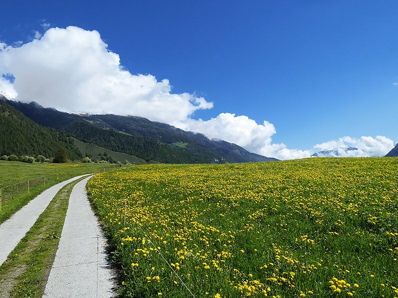
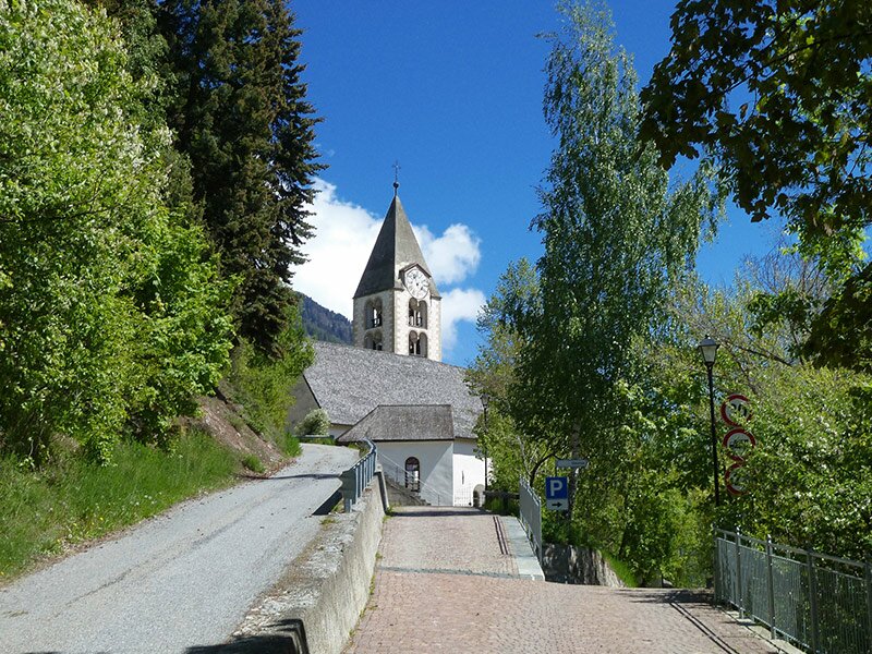
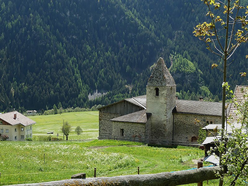
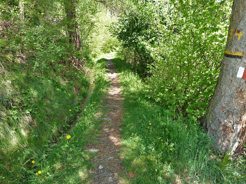
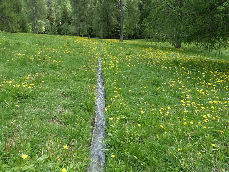
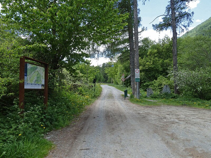
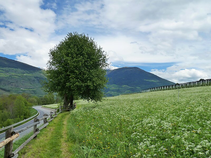
The Plaz Grond in Müstair we follow the signpost "Stundenweg" (Hours' Trail), leading across green meadows at the entrance of the Avigna Valley to Tures. In the village centre of Tures we follow the signpost no. 8 towards Calvenwald / Turnauna. This is how we reach the parish Church of St. Blaise. On the right the path leads down to the St. John Church, harkenig back on an animated history. Its wall paintings as well as the ancient stone altar are worth a visit. The next stage to the Calva Forest (Calvenwald) stretches along the ancient irrigation canal via the debris cone of the Turnauna. On the eastern end the path and the irrigation canal stretch down to the valley as Turnauna Waalweg path. For some metres we follow the cycling route towards the head of the valley, on the southern side of the valley it joins the "Glurnser Mitterwaal" (MItterwaal Waalweg path in Glorenza), another ancient canal that, however, does no longer carry water.
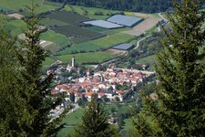
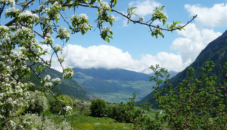
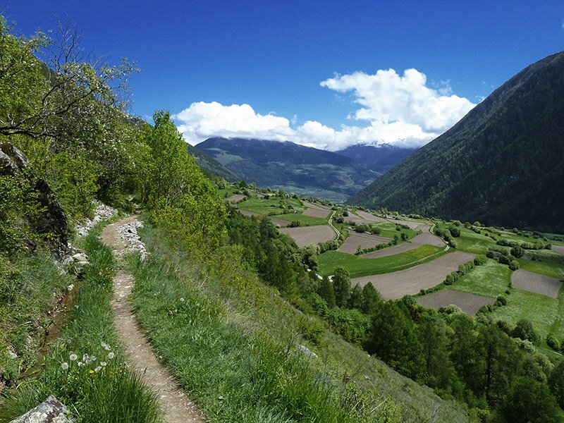
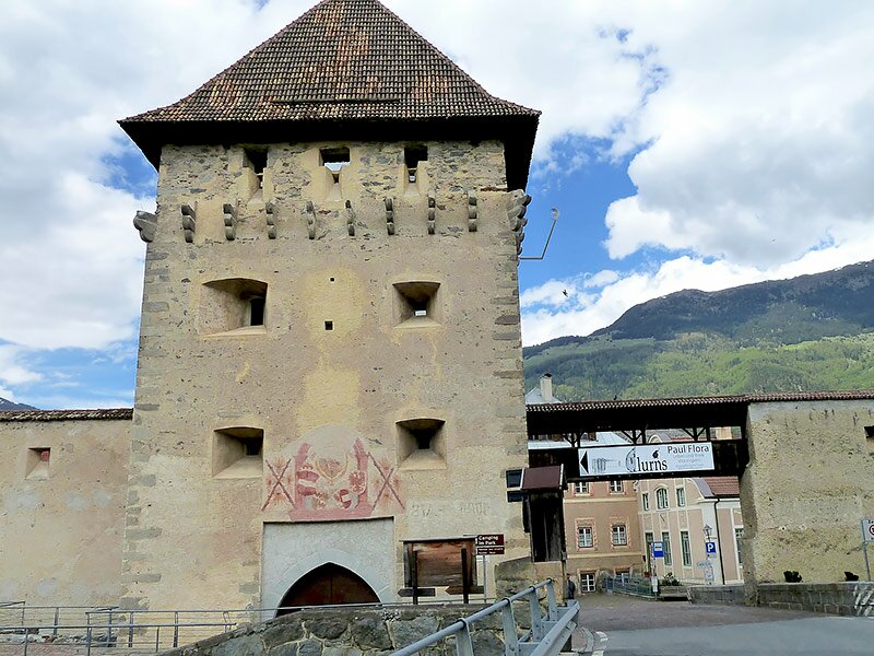
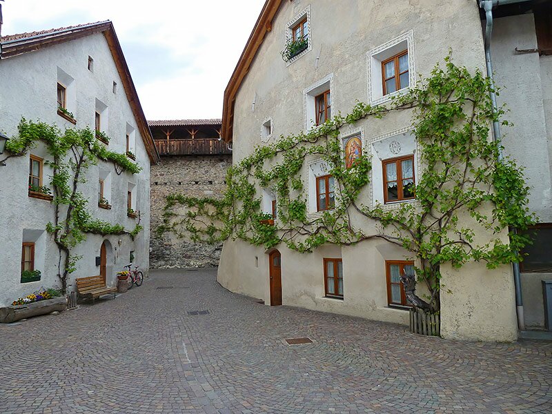
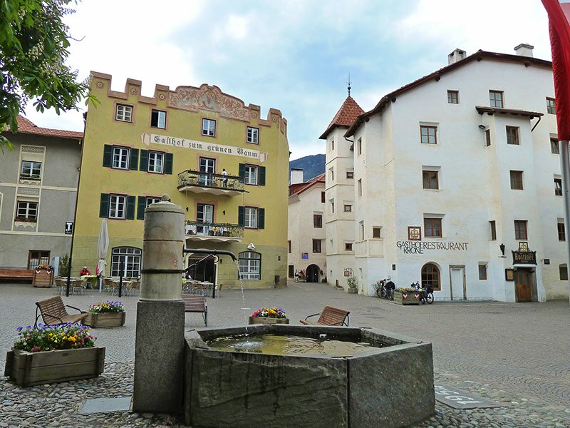
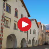
The path that parallels this canal provides a great view of the Malles Heath and its surroundings. After this walk down we proceed on the road to the village of Glorenza, where our walk ends with a visit of the picturesque centre. Alternative starting point: Tures in Val Monastero (about 2 km or 30 min shorter). If you start your walk in Müstair, don't forget to bring your passport. In order to get to the starting point, there is a bus service from Glorenza to Tubre in Val Monastero.
Author: AT
-
- Starting point:
- Müstair (CH)
-
- Overall time:
- 03:35 h
-
- Total route length:
- 11,9 km
-
- Altitude:
- from 914 m to 1.332 m
-
- Altitude difference:
- +245 m | -584 m
-
- Signposts:
- "Stundenweg", "Dorfrundweg" in Tubre, 8, 9, "Glurnser Mitterwaal", Glorenza
-
- Destination:
- Glorenza / Glurns
-
- Recommended time of year:
- Jan Feb Mar Apr May Jun Jul Aug Sep Oct Nov Dec
-
- Download GPX track:
- Hike on the Turnauna and the Glorenza Waalwege paths
If you want to do this hike, we suggest you to check the weather and trail conditions in advance and on site before setting out.