This circular walk leads us across unique and lonely landscapes of mountain pastures in the Val Passiria valley
Image gallery: Mountain tour to the Malga Obisell hut
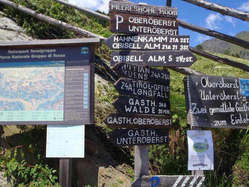
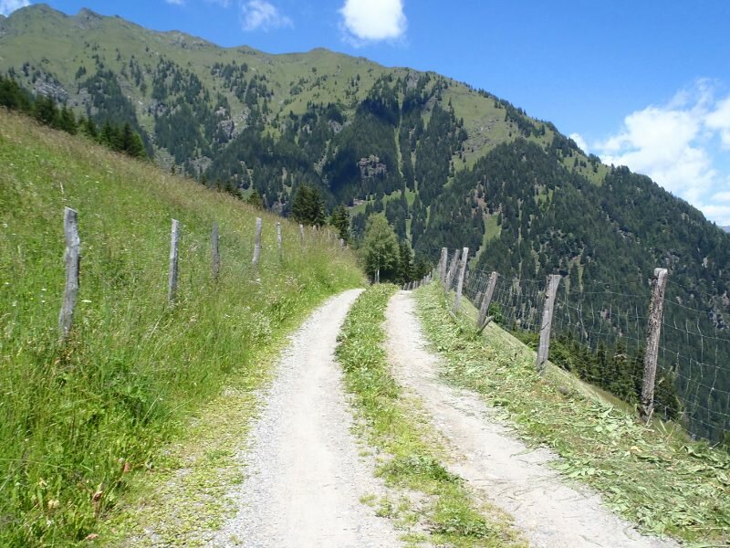
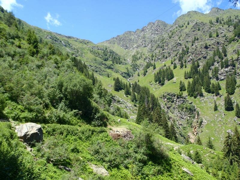
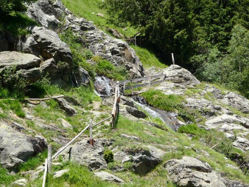
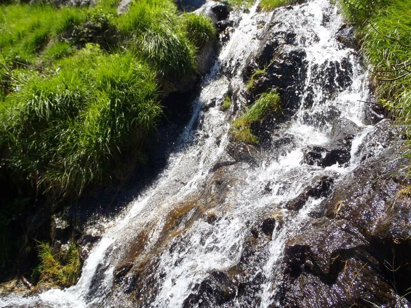
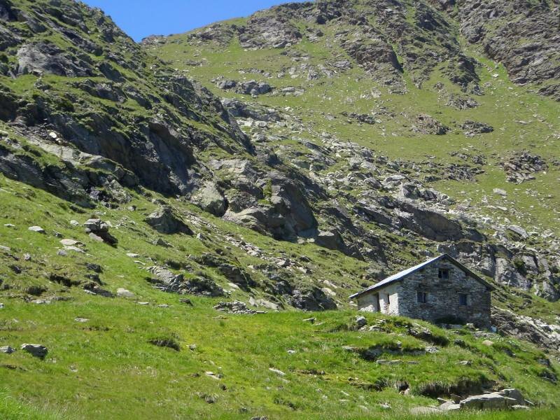
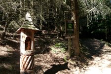
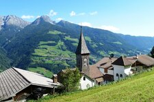
In the early morning we drive towards the Val Passiria by car. At Rifiano (Riffian) we turn towards Vernurio and drive further until the guest house "Oberöberst" (1,392 m a.s.l.) where we park our car. We start our tour to the Malga Obisell (Obisellalm) along the path no. 5, which leads us through idyllic larch forests steeply up to the timber line. Small waterfalls and mountain streams cross our way and offer a splendid possibility to get refreshed - it's really hot today. After approx. 2 hours walk we arrive at the uncultivated lower Malga Obisell where we take a rest in the shadow.
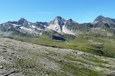
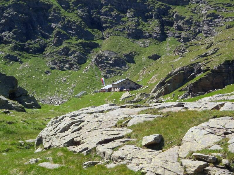
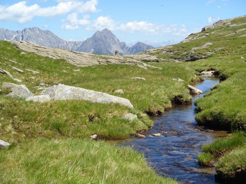
But we have to go on, we follow the marker to the Malga Obisell and admire the gorgeous bloom of the alpenroses which line the path. Soon we reach a small plateau and can see our goal for today afar - the cultivated Malga Obisell. It is picturesquely situated at about 2,100 m a.s.l. next to the Lago di Obisell lake surrounded by steep mountainsides. The view down on the valley is gorgeous and indicates the altitude difference we made. After a traditional afternoon snack, the so-called “Marende”, we start our way back again. There are several versions to come back to our starting point, we decide to walk via the Rifugio Hahnenkammhütte (mountain hut).
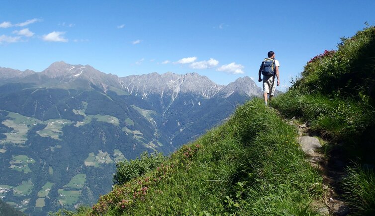
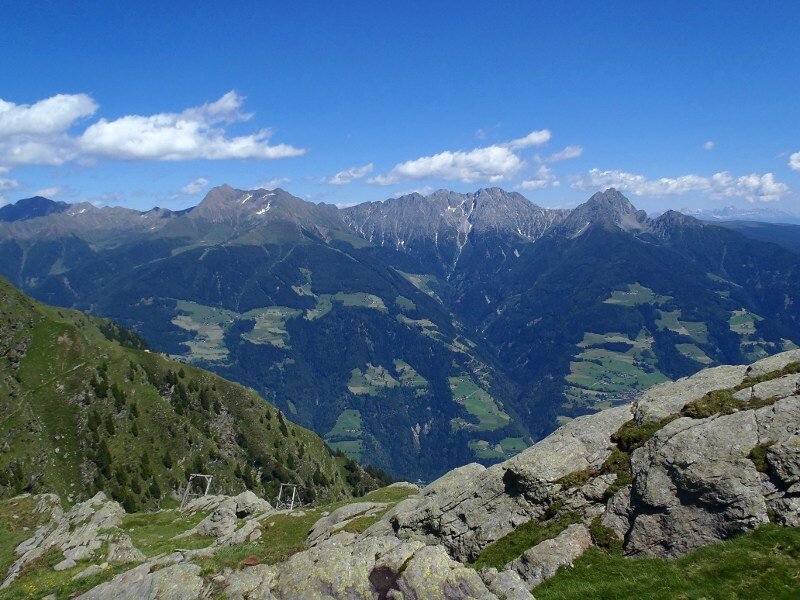
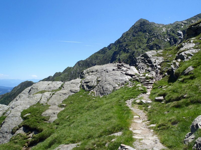
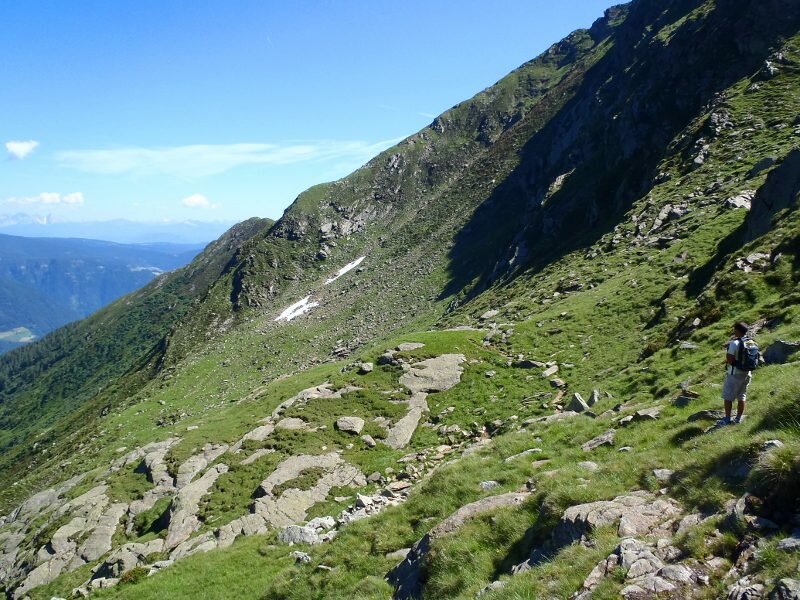
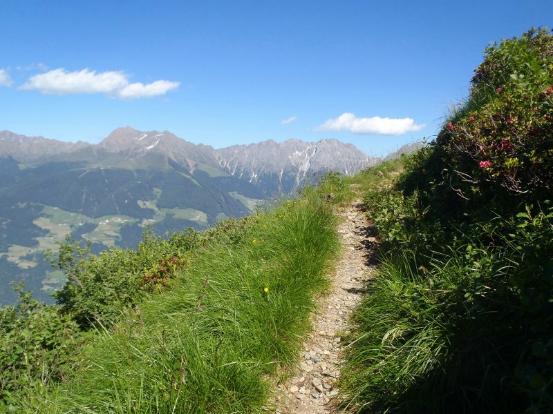
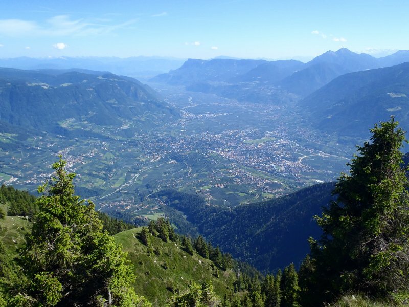
First the path proceeds towards the lower Malga Obisell where the marker no. 21 turns off. Steep security is again required, because the path leads partly exposed along the hillside. We reach the Hahnenkammhütte mountain hut, walk further and arrive the clearing Pletziaun where we enjoy a gorgeous panoramic view on Merano and surroundings. Past of avalanche barriers we reach the forest which we cross on a rocky path. Soon this path transitions into a forest road which leads us back again to the guest house Oberöberst. Not only for demanding hikers but due to the steepness a decent level of fitness is required.
Author: ED
-
- Starting point:
- Oberöberst - Vernurio
-
- Overall time:
- 04:20 h
-
- Total route length:
- 11,0 km
-
- Altitude:
- from 1.388 m to 2.159 m
-
- Altitude difference:
- +859 m | -859 m
-
- Route:
- Maso Oberöberst - Malga Obisell di Sotto - Malga Obisell - Malga Obisell di Sotto - Maso Oberöberst
-
- Signposts:
- 5, 21A, 21
-
- Destination:
- Malga Obisell
-
- Resting points:
- Malga Obisell
-
- Recommended time of year:
- Jan Feb Mar Apr May Jun Jul Aug Sep Oct Nov Dec
-
- Download GPX track:
- Mountain tour to the Malga Obisell hut
If you want to do this hike, we suggest you to check the weather and trail conditions in advance and on site before setting out.