On the circular hike across the Monte Luta to the Alpe di Tesido you can enjoy an enchanting Alpine panorama
Image gallery: Hike to the Monte Luta mountain
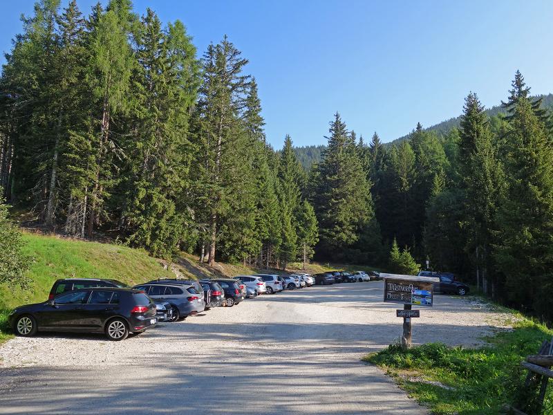
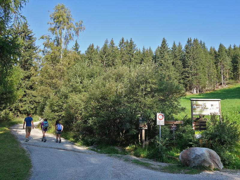
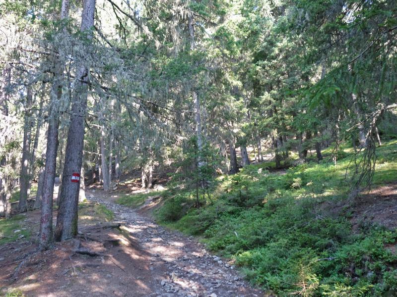
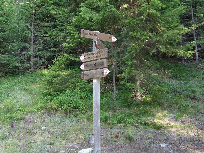
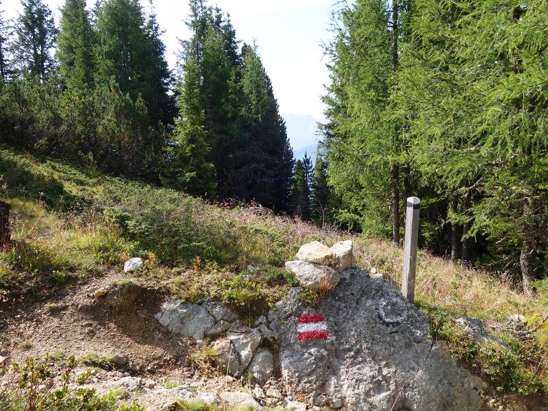
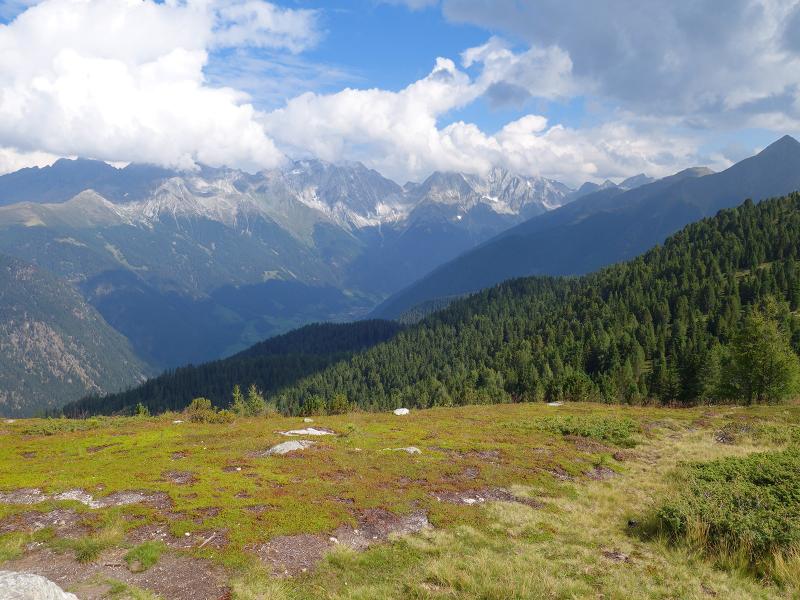
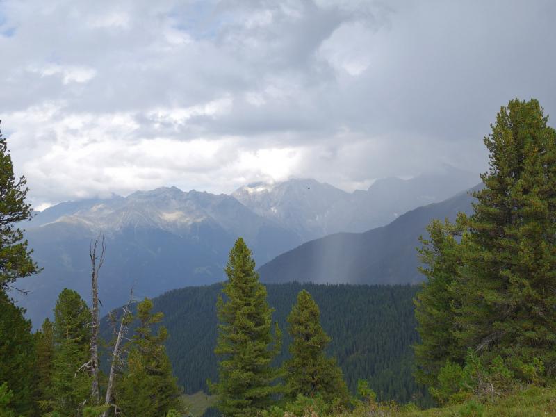
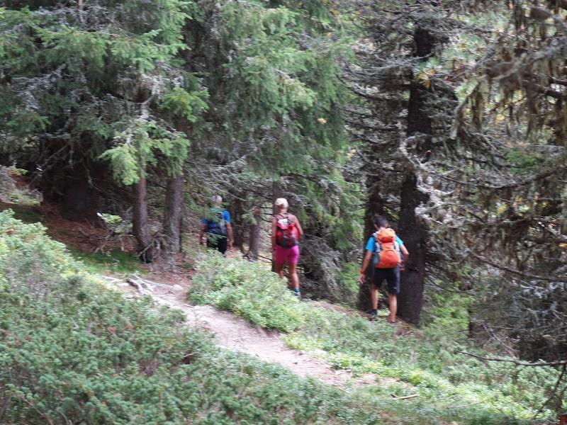
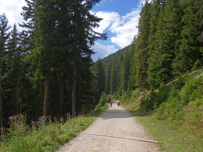
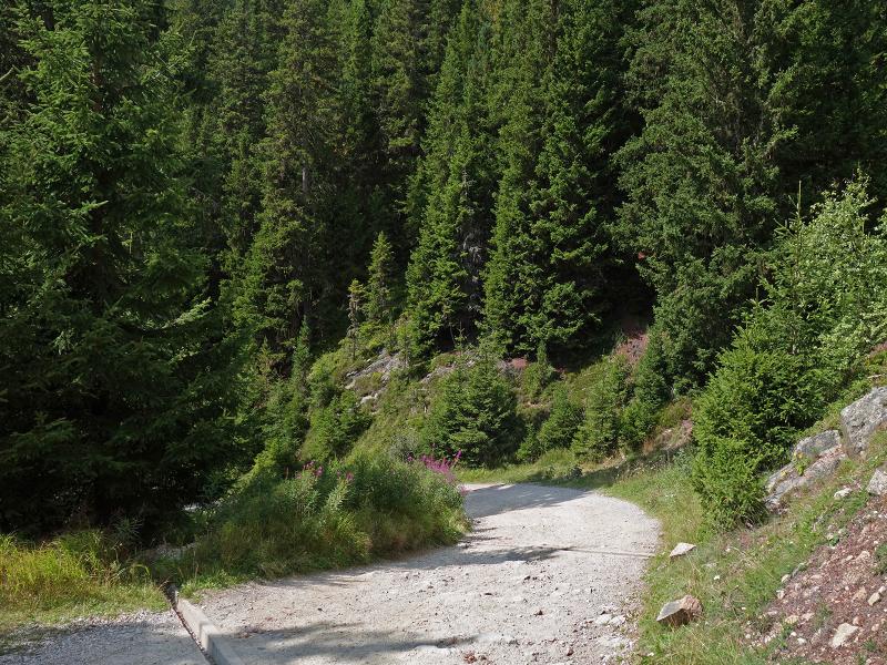
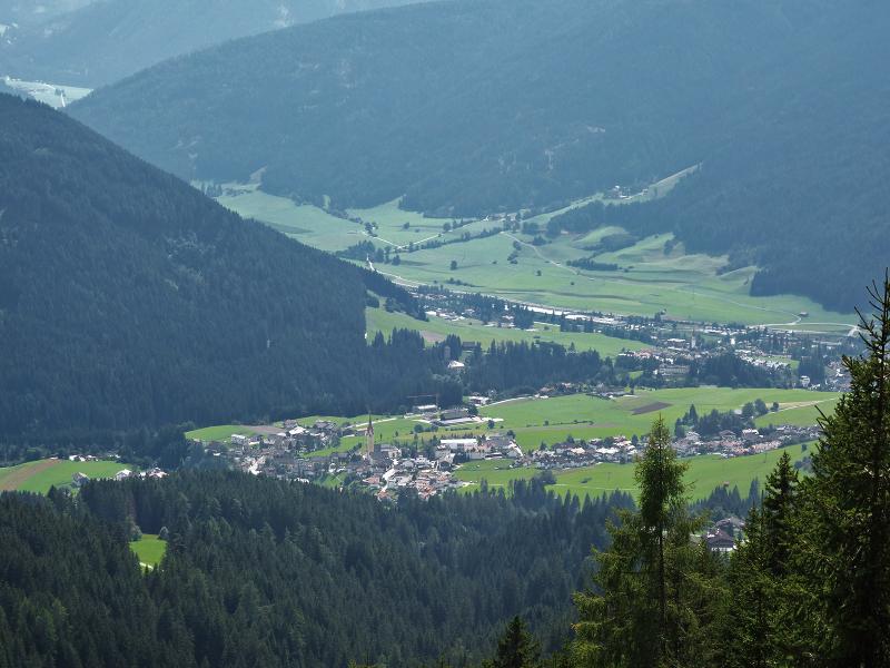
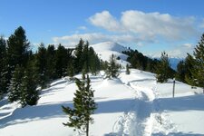
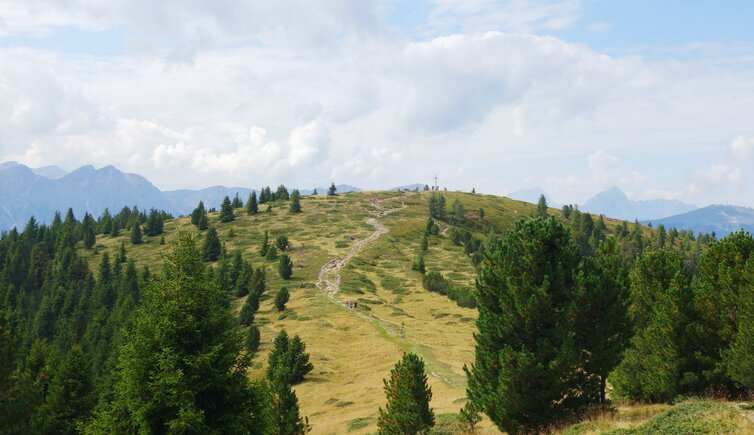
The Monte Luta mountain (Lutterkopf) is a roundish elevation in the northeast of the localities Monguelfo and Tesido. The summit, which is free from trees, offers a great view on the Dolomites and Upper Val Pusteria. Our hike to the summit of Monte Luta starts at the parking space above the Mudler Hof tavern at about 1,584 m a.s.l. This is where the trail no. 31 starts, taking along a forest road and later on on a trail across the forest to the so called Brunnenwiesen meadows.
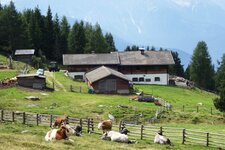
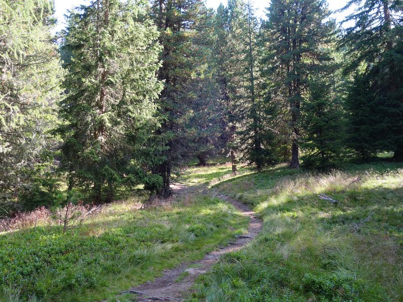
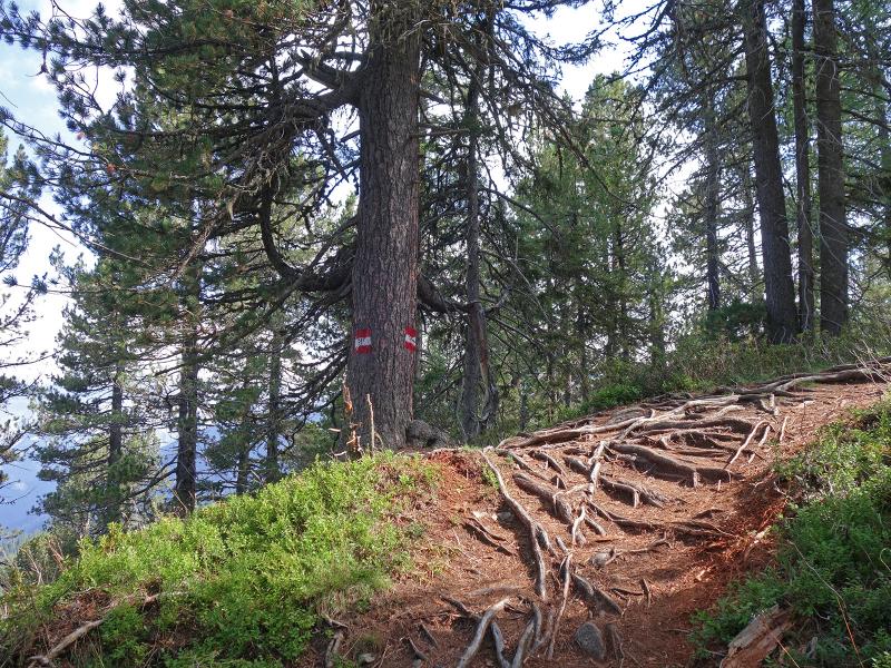
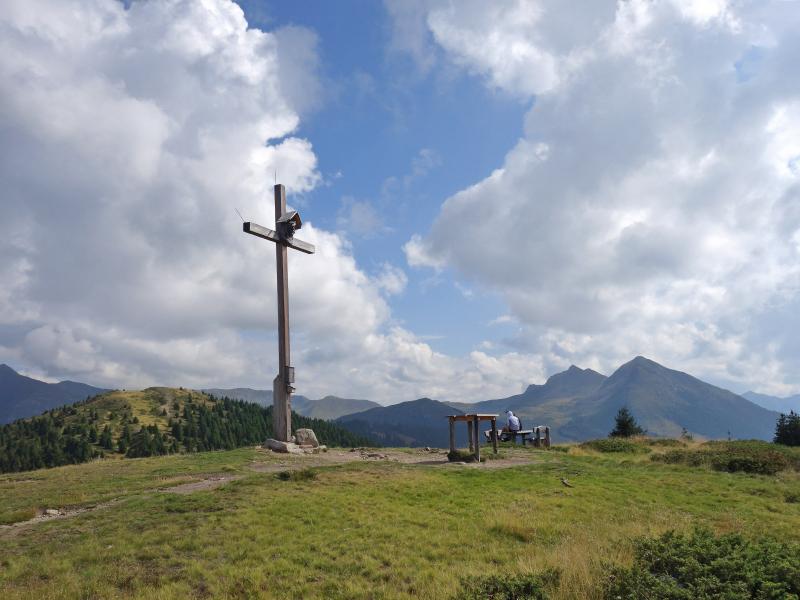
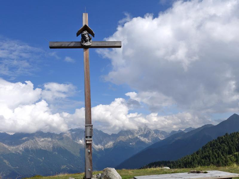
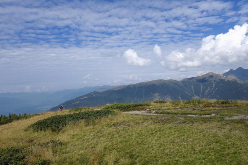
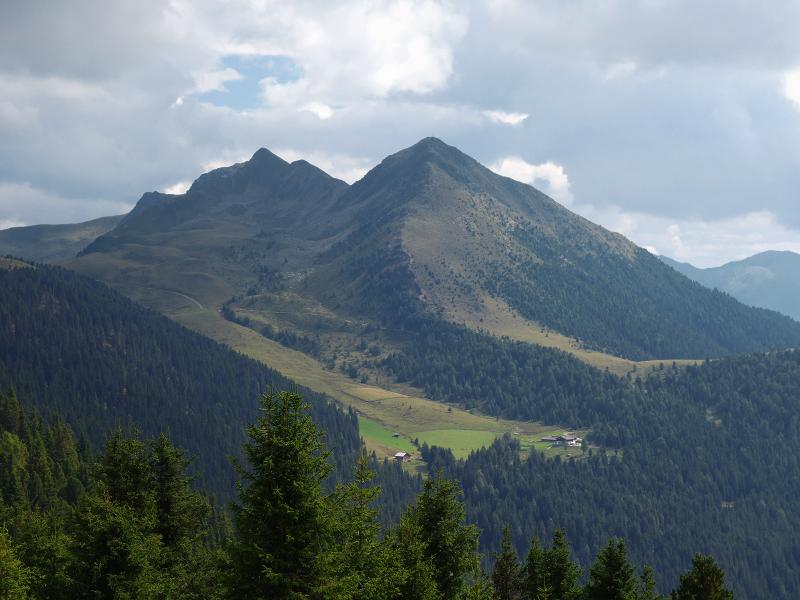
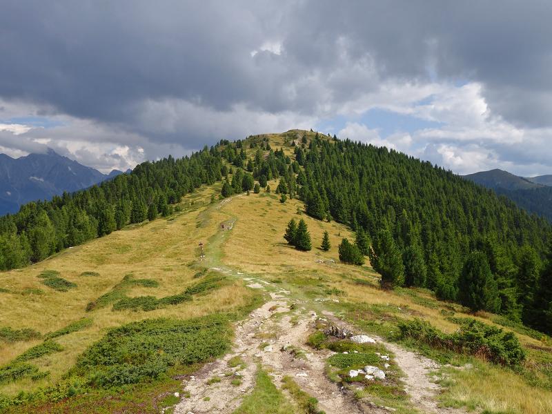
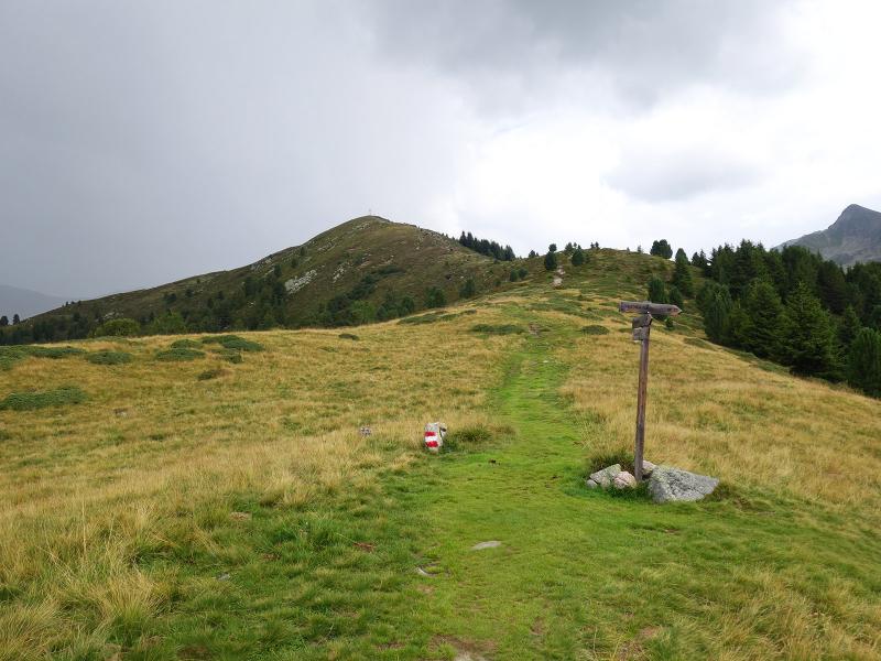
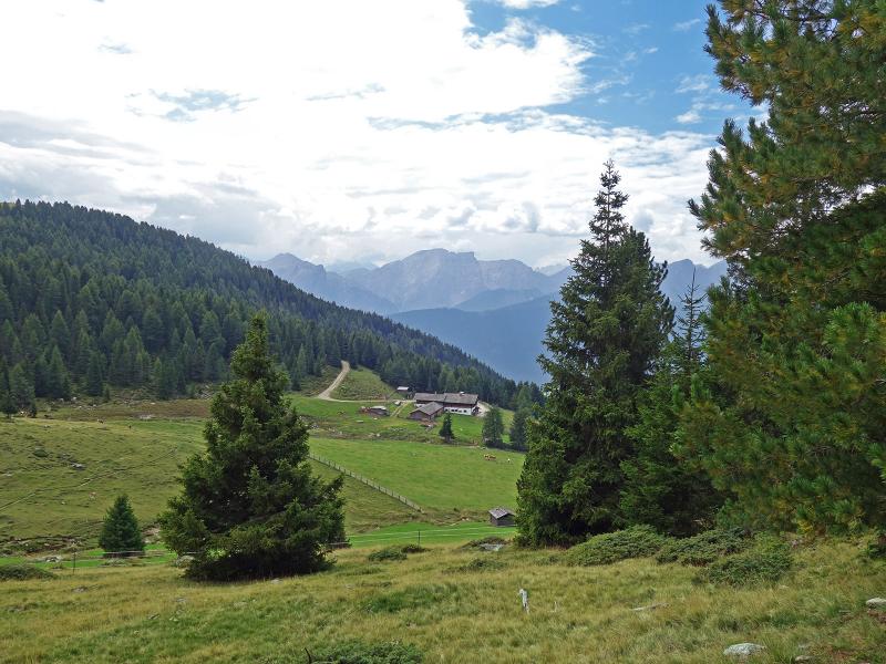
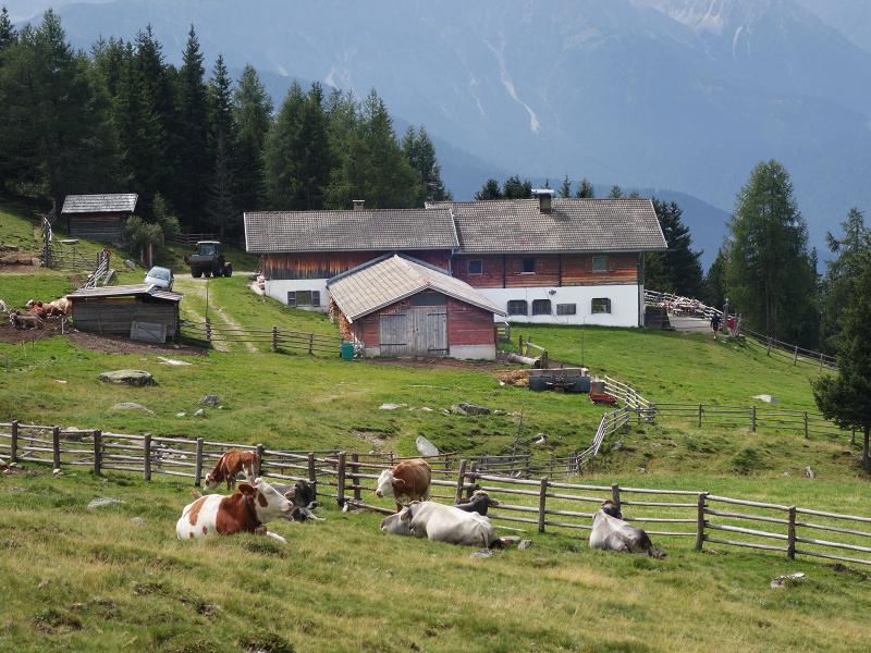
Then the trail diverts to the right, leading towards our hiking destination at 2,145 m a.s.l. Arrived at the summit we can enjoy a wonderful view on the surrounding mountains. Without major differences in altitude, the route now continues along the ridge, always following path no. 31. Soon the Alpe di Tesido (Taistner Alm, 1,992 m a.s.l.) is reached after a short descent on path no. 33. After a refreshment and a snack, we continue our hike on path no. 38A.
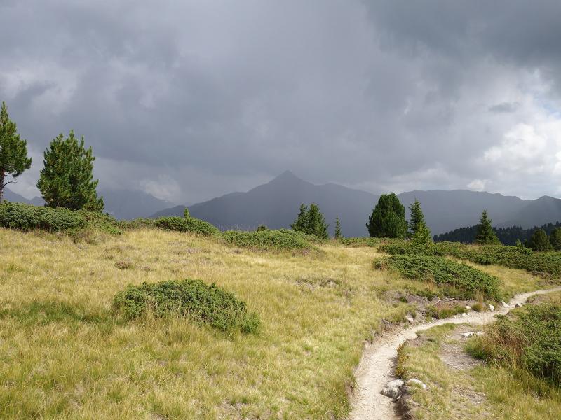
So we have already started our way back and, always staying on the same path, we reach again the car park at the Mudler Tavern, the starting point of the hike. If you would like to extend this circular hike, you can continue from Mt. Luta to the Monte Salomone summit and from there return to the starting point via the Alpe di Tesido.
Author: AT
-
- Starting point:
- parking space above the Mudler Hof tavern, Tesido
-
- Overall time:
- 03:30 h
-
- Total route length:
- 9,9 km
-
- Altitude:
- from 1.632 m to 2.171 m
-
- Altitude difference:
- +558 m | -558 m
-
- Route:
- parking space Mudler - Monte Luta - Alpe di Tesido (1,992 m a.s.l.) - parking space Mudler
-
- Signposts:
- 31, 33, 38, 38A
-
- Resting points:
- Malga Tesido / Taistner Alm
-
- Recommended time of year:
- Jan Feb Mar Apr May Jun Jul Aug Sep Oct Nov Dec
-
- Download GPX track:
- Hike to the Monte Luta mountain
If you want to do this hike, we suggest you to check the weather and trail conditions in advance and on site before setting out.