This easy mountain hike shows you the forests at Innichner Eck, the elevation above Dobbiaco and San Candido
Image gallery: Hike to the Baita Lachwiesen and the Innichner Eck
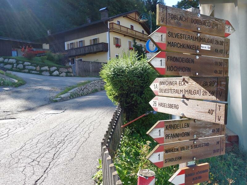
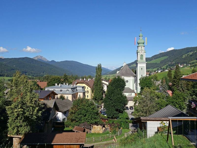
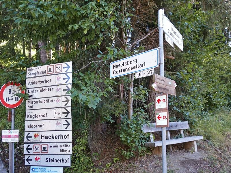
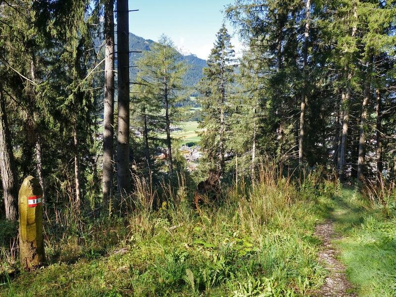
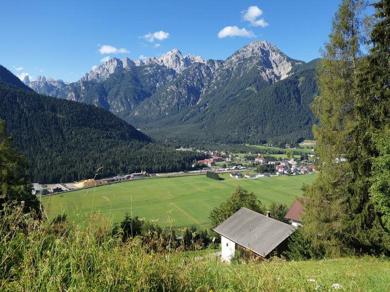
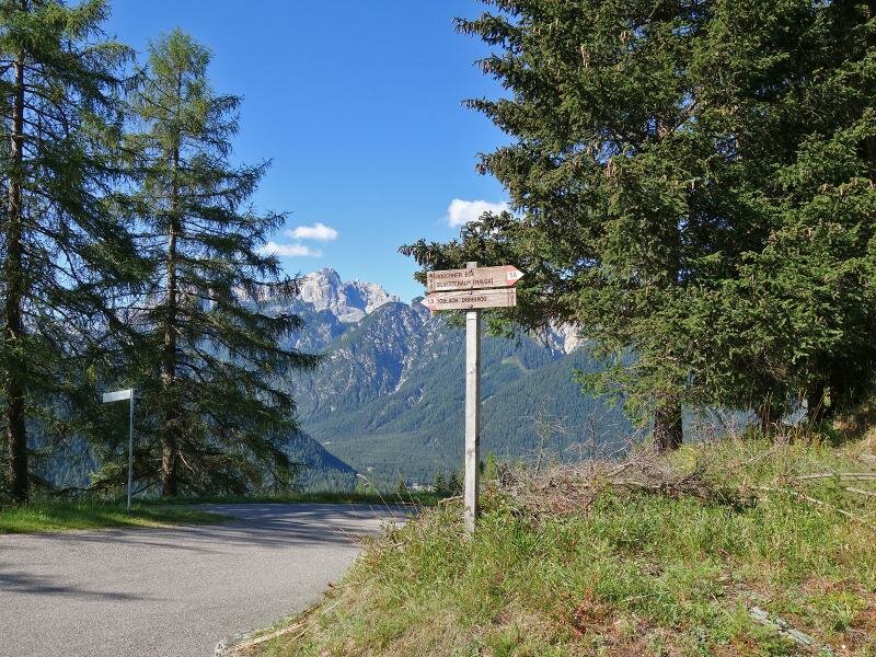
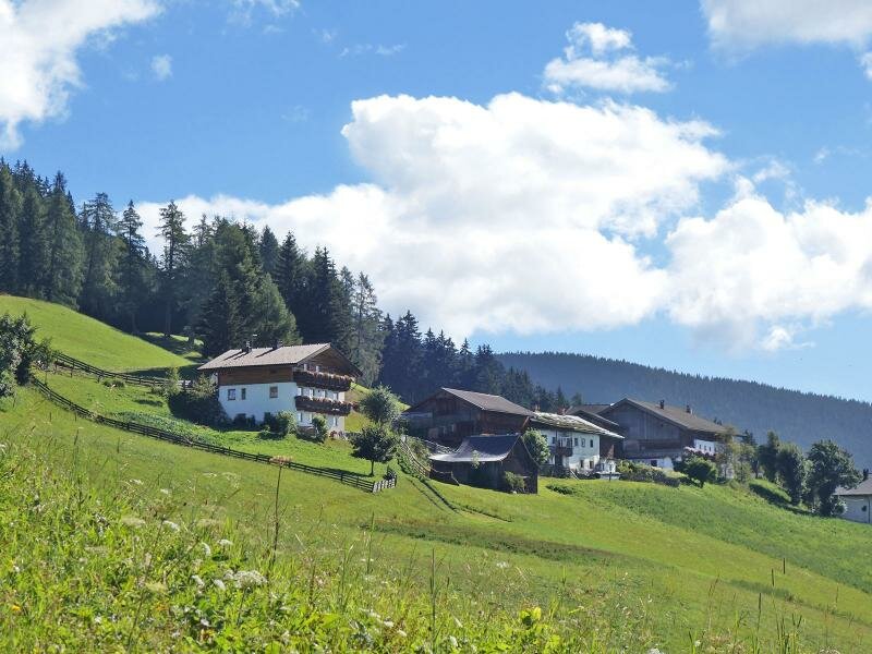
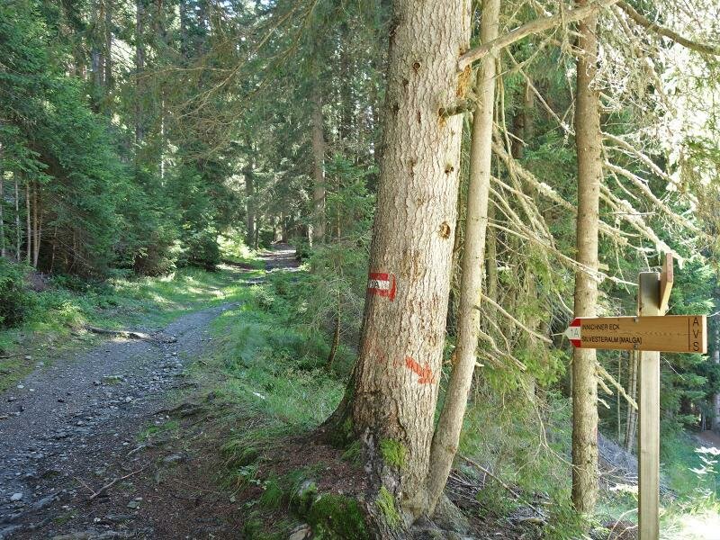
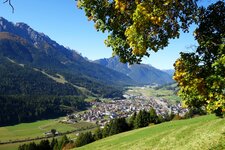
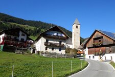
Starting from the parish church in the village centre of Dobbiaco, we follow the Via Ehrenberg road. At the junction with the Via San Silvestro road, we find signpost no. 1A pointing towards Haselsberg. Shortly after, the path branches off the asphalt road and leads up the Haselsberg slope through the forest. A section over meadows follows, taking us past the Haselsberg farms.
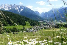
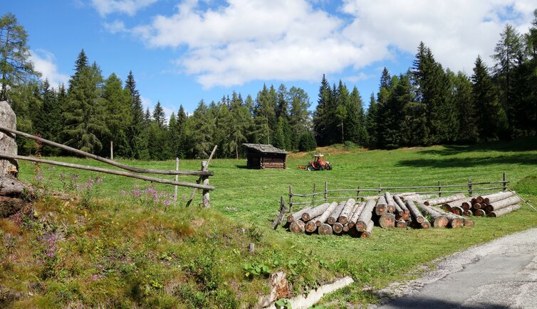
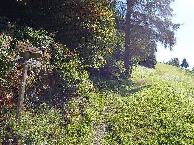
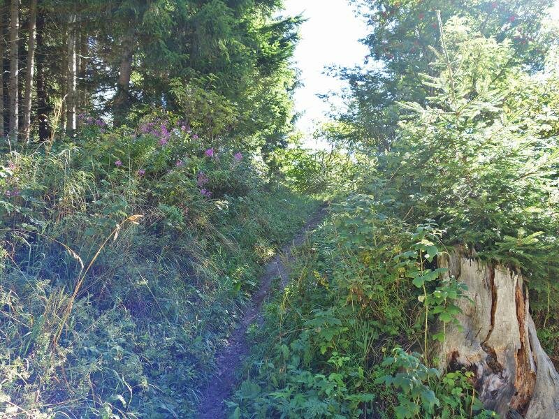
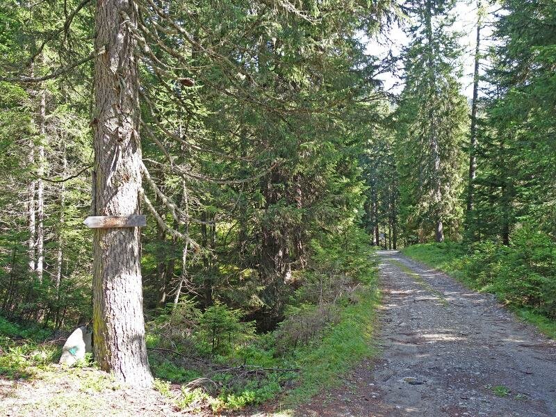
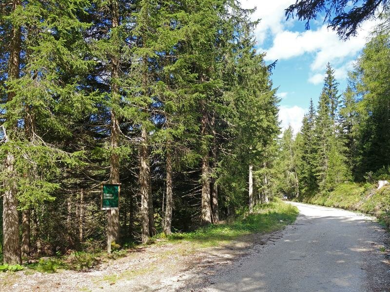
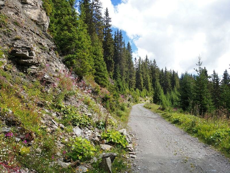
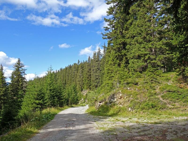
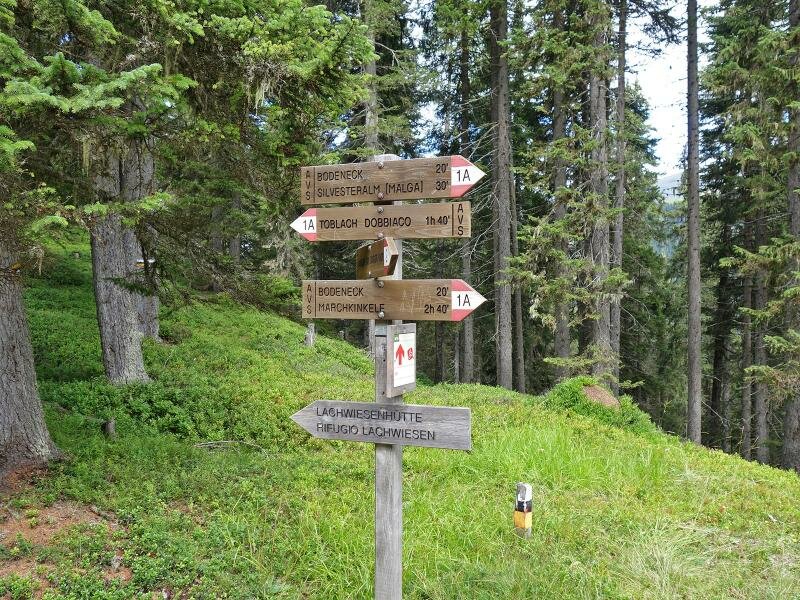
We then continue through the thick coniferous forest. At a crossroads, we spot the sign for the "Lachwiesenhütte" and follow it. This path leads to a small elevation where the Lachwiese biotope is located, directly below the 1,957-metre-high Mt. Dosso (Scheibenegg).
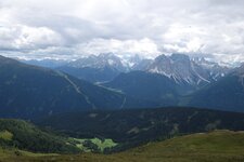
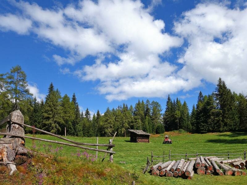
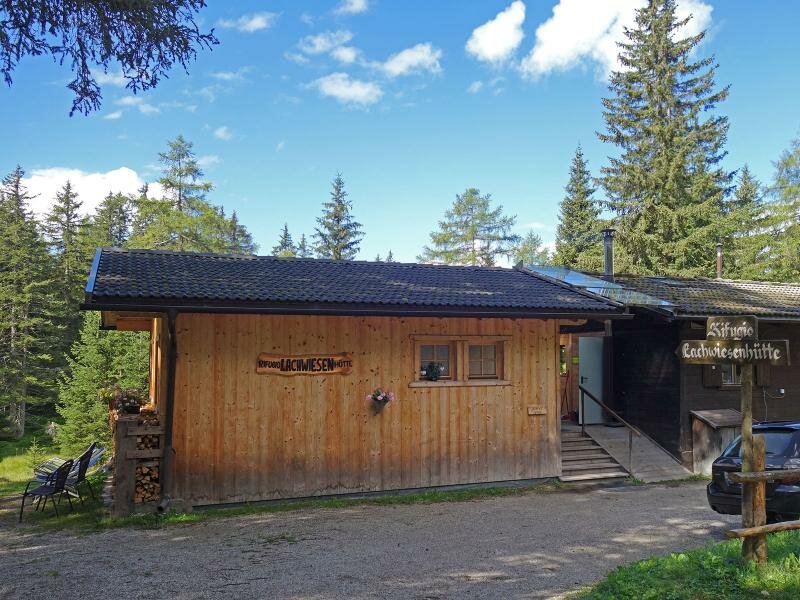
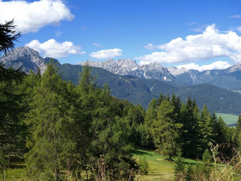
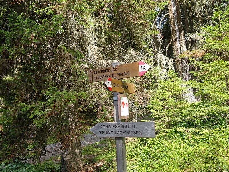
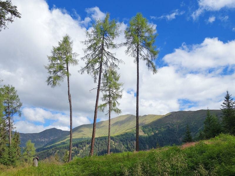
We have been walking for an hour and a half when we reach the Lachwiesen Hut at 1,690 metres above sea level, which serves local specialities. As we want to extend our hike a little, we follow the forestry road. This later rejoins path no. 1A and leads to the Innichner Eck. This crossing into the Valle San Silvestro opens up a view of the peaks on the border ridge - Mt. Corno di Fana, Mt. Cornetto di Confine, and Mt. Pausa Alta tower before us.
From here, if you have enough time, you can continue walking to the St. Sylvester Chapel and the San Silvestro Hut. Since we had planned a more leisurely tour on this summer day, we head back to the Lachwiesen Mountain Hut. After a long break, we later descend back to Dobbiaco. (Update: The Lachwiesen Hut has been permanently closed since 2026).
Author: AT
Experienced: August 2018
Last updated: 2026
-
- Starting point:
- Dobbiaco village centre (1,242 m a.s.l.)
-
- Overall time:
- 04:30 h
-
- Total route length:
- 16,3 km
-
- Altitude:
- from 1.242 m to 1.904 m
-
- Altitude difference (uphill | downhill):
- +674 m | -674 m
-
- Signposts:
- no. 1A, "Lachwiesenhütte"
-
- Destination:
- Innichner Eck (1,904 m a.s.l.)
-
- Resting points:
- rest points in the village centre of Dobbiaco
-
- Recommended time of year:
- Jan Feb Mar Apr May Jun Jul Aug Sep Oct Nov Dec
-
- Download GPX track:
- Hike to the Baita Lachwiesen and the Innichner Eck
-
- More information:
- The overall time shown above refers to the walking time only, not including breaks or stops.
If you want to undertake this hike, we recommend checking the weather and trail conditions in advance and on site before starting this hike!