This route leads over the 1,800-metre-high Passo del Capro to the Putzalm beneath the Braies Dolomites
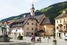
Image gallery: Hike from Braies Vecchia to the Malga Putz
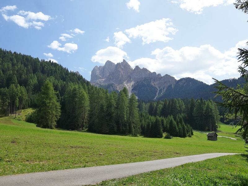
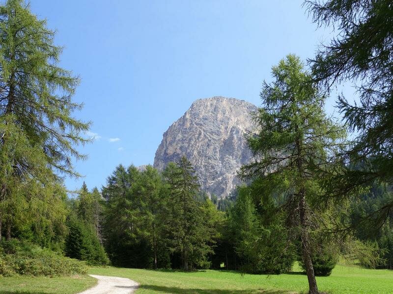
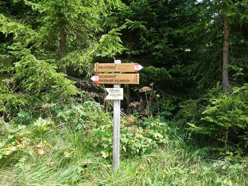
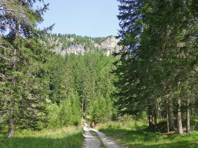
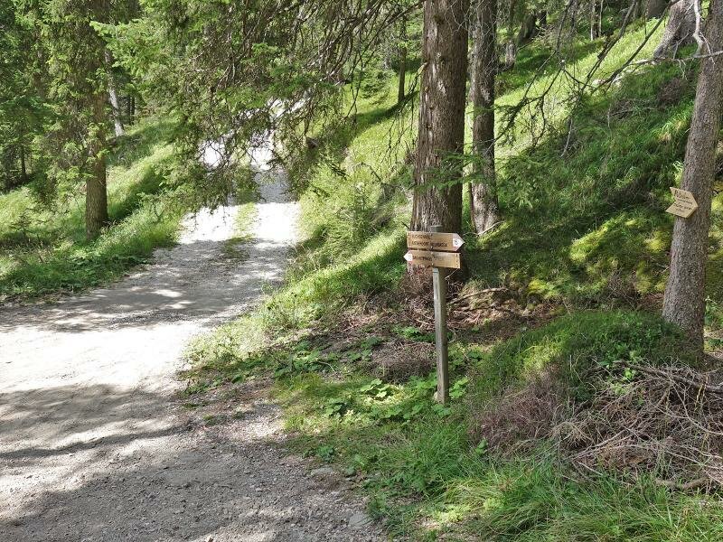
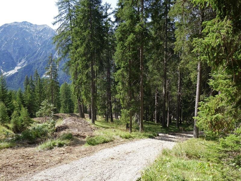
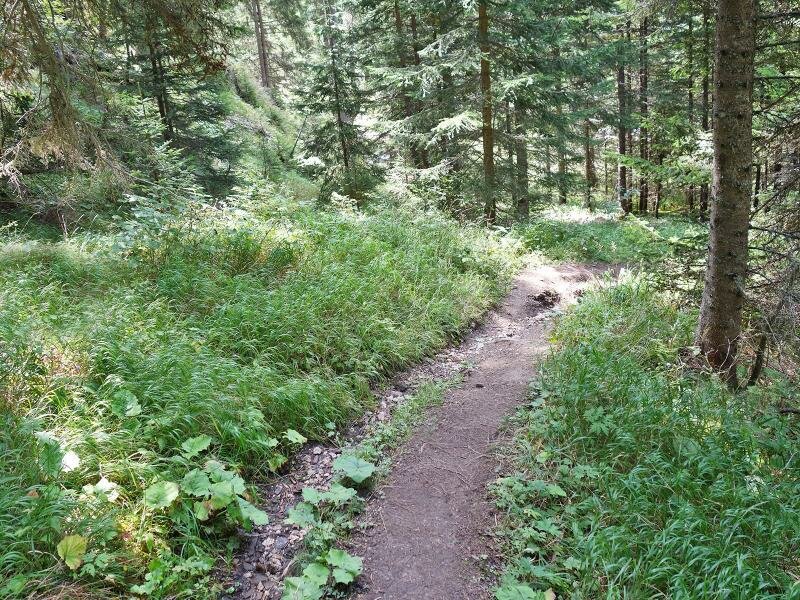
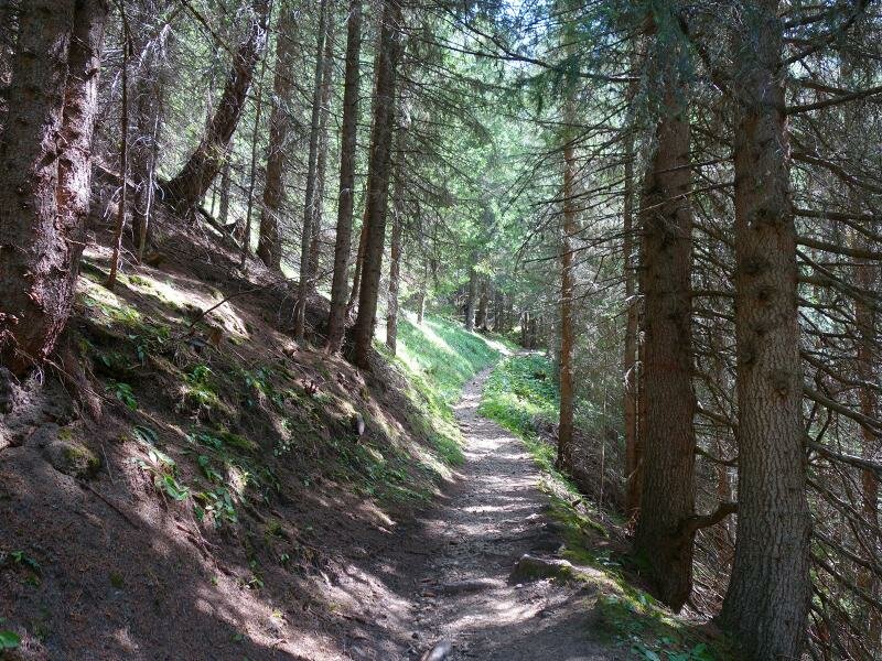
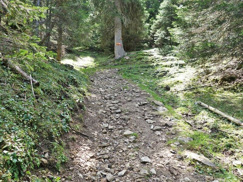
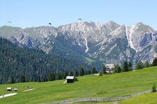
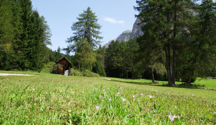
We start in Braies Vecchia near Braies di Fuori, where there is both a bus stop and a car park by the ski lifts. We follow path no. 15. This gravel track rises gently across the meadow landscape towards the forest, framed by the impressive Braies Dolomites. The increasingly steep track eventually turns into a forest path which winds up to the small Passo del Capro (Buchsenridl).
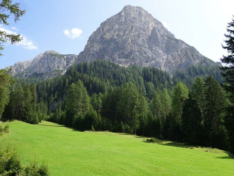
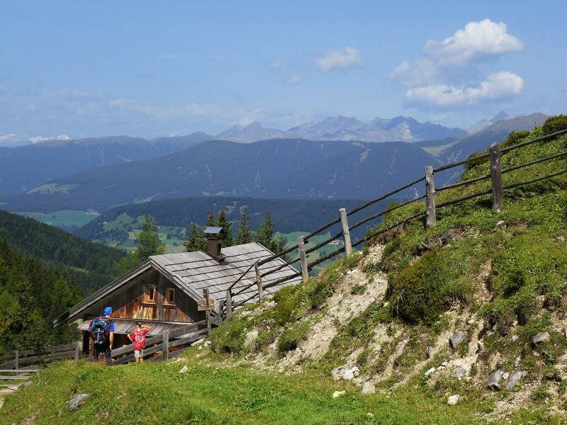
This pass an altitude of over 1,800 metres marks the border between the Valle di Braies and Villabassa in the Upper Val Pusteria. We have now reached the catchment area of the Rio Grigio stream. From here, it is just a few hundred metres along the forest path to the Putz Hut.
Its meadows lie slightly below the Passo del Capro. The mountain hut at an altitude of 1,790 metres serves traditional dishes and organises speciality weeks, such as a potato week. In clear weather, the glaciers of the Zillertal Alps are visible. We return along the same route.
Those who prefer a more demanding route can choose a different way back. To do this, take path no. 15A up to Mt. Alberstein (1,961 m a.s.l.) and the Monte dei Bagni (1,855 m a.s.l.). From there, descend to Braies Vecchia via this slightly more difficult trail. This option takes an extra hour!
Author: AT
Experienced: August 2017
Last updated: 2026
-
- Starting point:
- Bagni di Braies Vecchia (1,438 m a.s.l.)
-
- Overall time:
- 02:15 h
-
- Total route length:
- 4,9 km
-
- Altitude:
- from 1.438 m to 1.804 m
-
- Altitude difference (uphill | downhill):
- +397 m | -397 m
-
- Signposts:
- no. 15
-
- Destination:
- Putz Hut (1,790 m a.s.l.)
-
- Resting points:
- Putz Hut (May to October)
-
- Recommended time of year:
- Jan Feb Mar Apr May Jun Jul Aug Sep Oct Nov Dec
-
- Download GPX track:
- Hike from Braies Vecchia to the Malga Putz
-
- More information:
- The total time indicated above refers to the walking time only, excluding breaks.
If you want to undertake this hike, we recommend checking the weather and trail conditions in advance and on site before starting this hike!


.JPG)