From Terento via the Lago di Pausa Mountain Hut, we reach the Monte Gruppo - a hike that requires surefootedness
Image gallery: Mountain tour to the Monte Gruppo
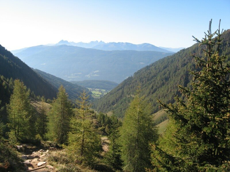

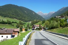
Our mountain hike starts in bright autumn weather at the car park in the Val Vena near Terento. Just past the edge of the village, the road branches off into this valley at a sharp right-hand bend. At the end of the road is the hikers' car park. Here we start walking on a wide forest path towards the Lago di Pausa Hut. After about half an hour we reach the Astner Bergalm Hut.
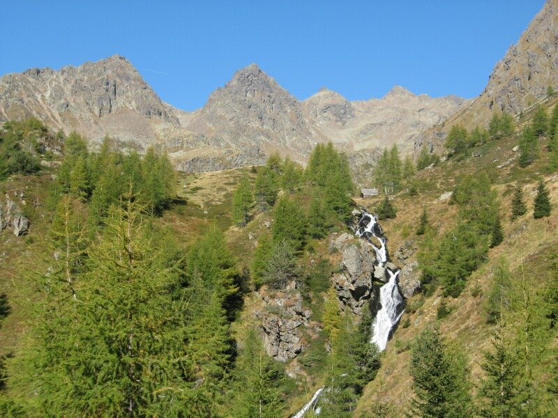
Soon after, we reach the valley station of the material ropeway for the Lago di Pausa Hut. The path ascends in switchbacks to the head of the valley, where a waterfall catches our attention. The path becomes narrower and briefly steeper, but soon we reach the valley floor and the Tiefrastenhüttl, a pleasant resting place. Further into the valley, the path becomes steeper again.
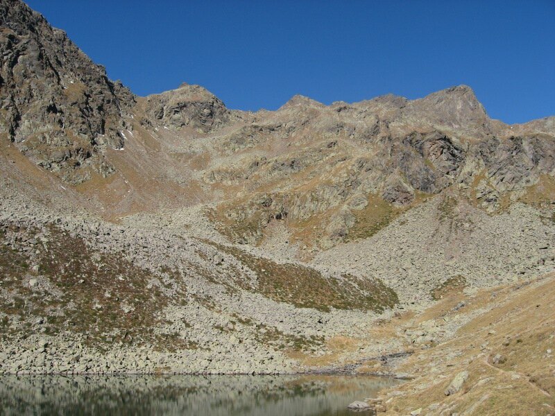
The flag of the Lago di Pausa Hut is now visible. After about two hours of walking, we reach the mountain hut on the shore of Lake Pausa. Although far in the distance, the summit cross of the Monte Gruppo (Hochgrubbachspitze) is already visible. Highly motivated, we continue along paths no. 21 and 24. At some rocky steps, path no. 24 branches off to the left.
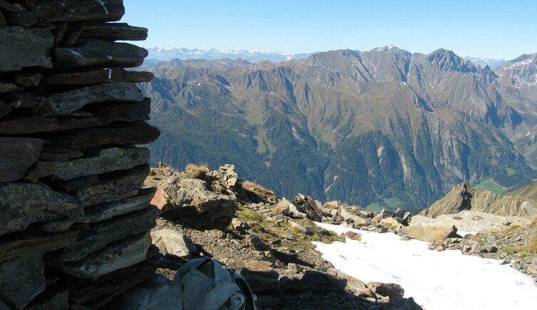
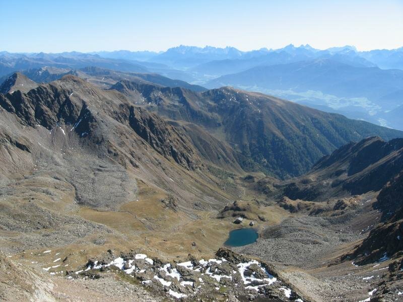
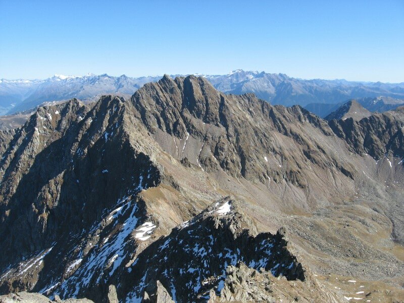
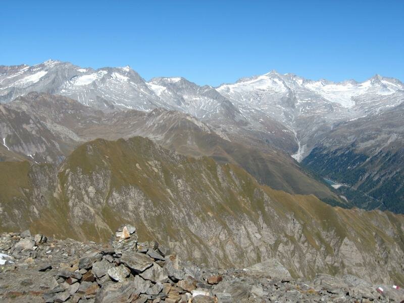
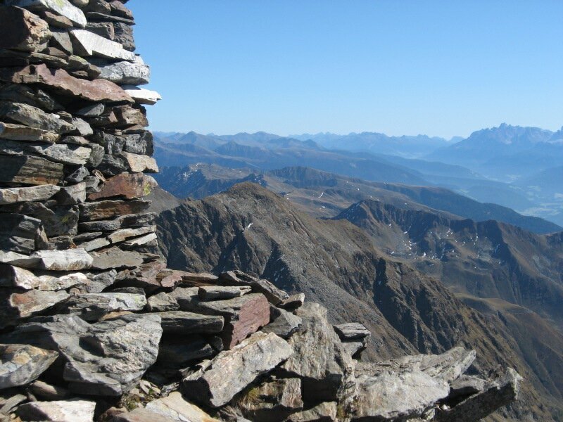
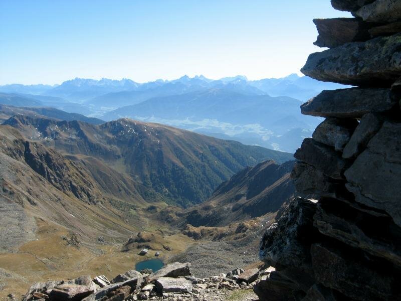
We follow this path first over a short rocky section, then steeply up the slope below the Monte Gruppo over slate slabs and scree. The final metres follow the ridge, where we need to use our hands a few times. Finally, we reach the large cairn and the summit cross at the highest point at an elevation of 2,809 metres. The view is outstanding.
We can see the highest peaks of the glaciated main ridge of the Zillertal Alps. The descent follows the same route, with a stop at the Lago di Pausa Mountain Hut, which also provides overnight accommodation. After a total of six hours, we reach the car park in the Val Vena valley.
Author: BS
Experienced: October 2011
Last updated: 2026
-
- Starting point:
- hikers' car park in the Val Vena valley near Terento (1,416 m a.s.l.)
-
- Overall time:
- 06:00 h
-
- Total route length:
- 13,8 km
-
- Altitude:
- from 1.416 m to 2.809 m
-
- Altitude difference (uphill | downhill):
- +1390 m | -1390 m
-
- Signposts:
- no. 23, 24
-
- Destination:
- summit of the Monte Gruppo (2,809 m a.s.l.)
-
- Resting points:
- Astner Bergalm Hut, Lago di Pausa Hut (both from May to October/November)
-
- Recommended time of year:
- Jan Feb Mar Apr May Jun Jul Aug Sep Oct Nov Dec
-
- Download GPX track:
- Mountain tour to the Monte Gruppo
-
- More information:
- The overall time shown above refers to the walking time only, not including breaks or stops.
We highly recommend checking the weather and trail conditions in advance and on site before starting this tour.