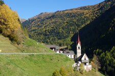
A pleasant walk to the Bagni di Rio Molino and the mountain huts at the valley head in the Vedrette di Ries-Aurina Nature Park
Image gallery: Hike to the Valle di Rio Molino mountain pastures

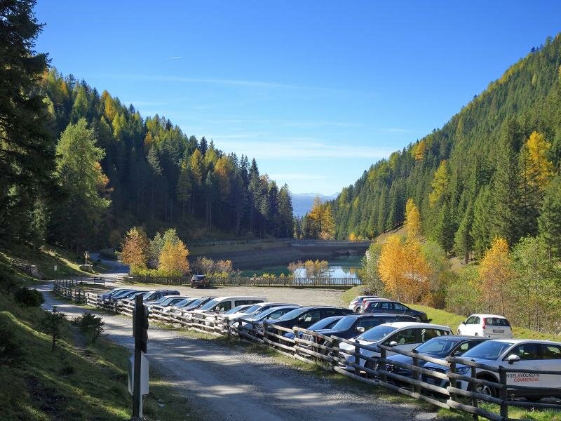
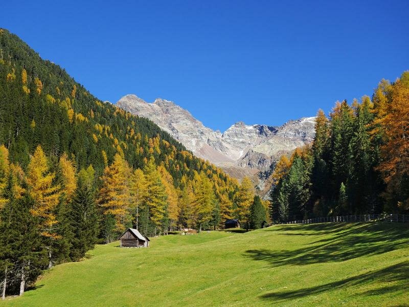
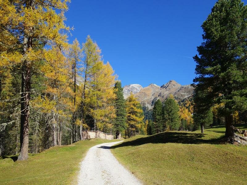
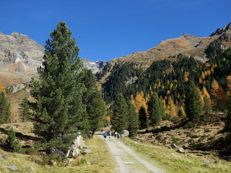
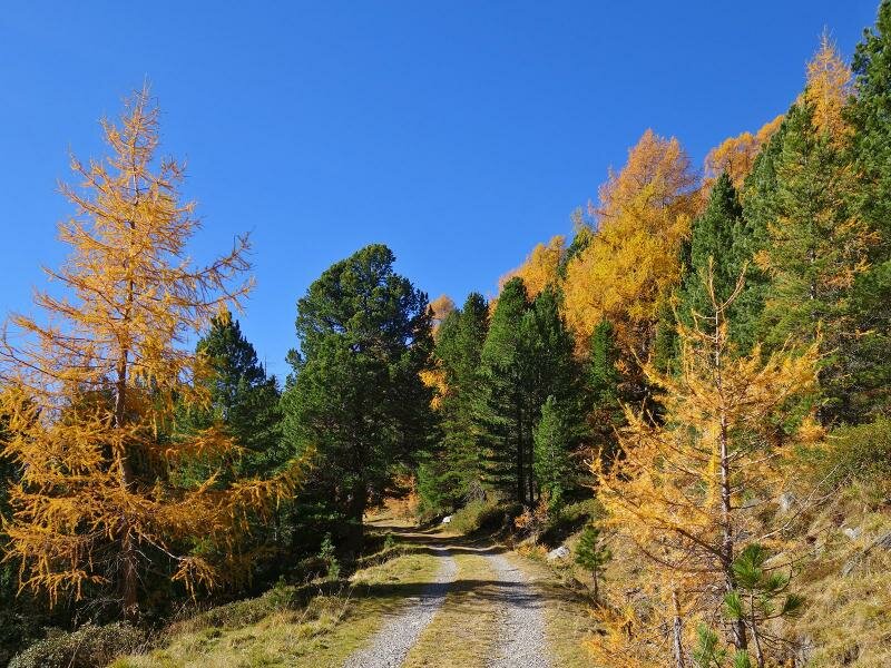
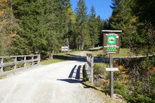
The starting point for this valley walk is the hikers' car park at the entrance to the Valle di Rio Molino above Gais. It is about two kilometres away from the hamlet of Rio Molino di Gais. Trail no. 2 is a forest road with a gentle incline leading through the valley.
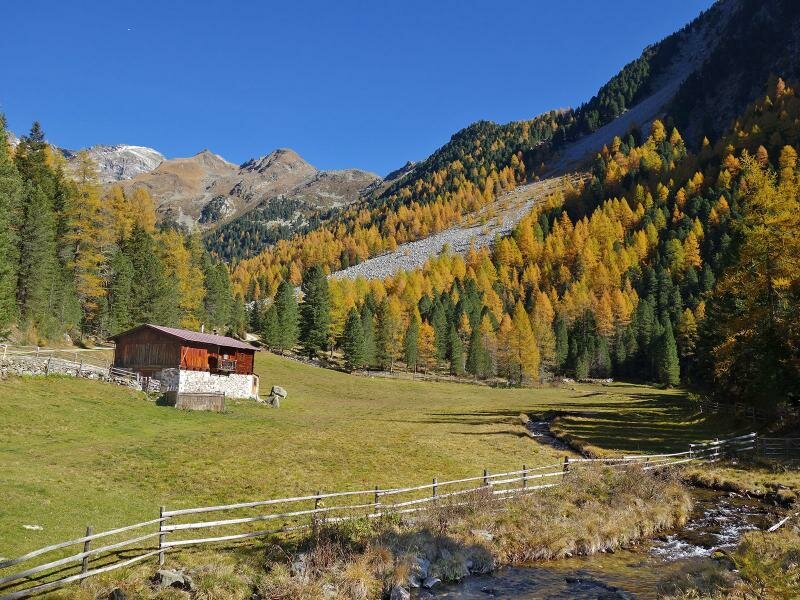
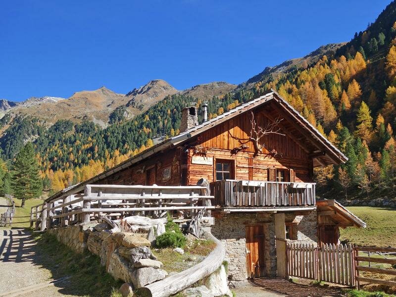
After barely a kilometre, we pass the Bagni di Rio Molino: Here we find the mineral spring, a small chapel, and the mountain inn of the same name. We will visit the inn later on our return journey.
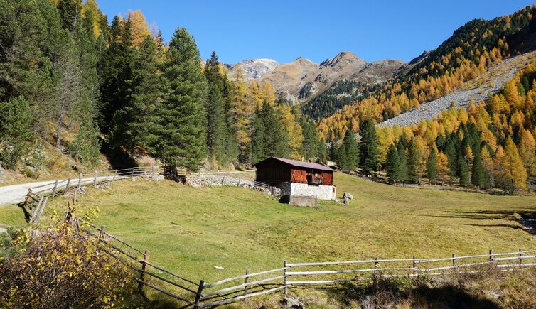
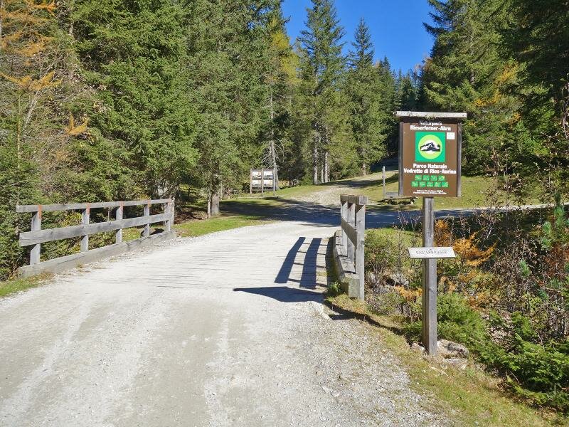
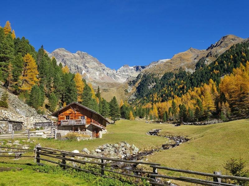
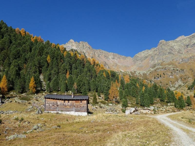
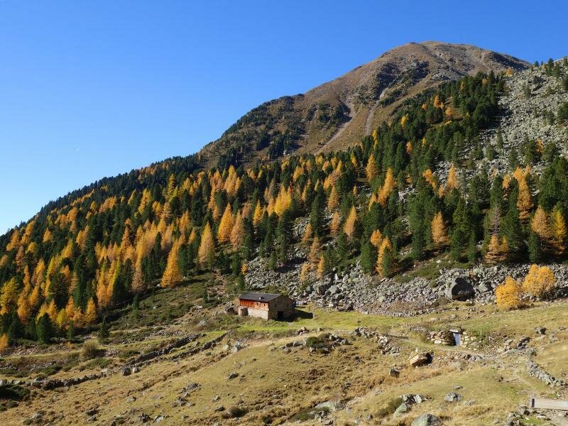
This "Badl im Mühlbacher Talile" (local dialect for "small bath in the Rio Molino Valley") was once the highest traditional farmers' bath and natural bath in the Val Pusteria. In the past, people bathed in wooden tubs. Further up the valley, we pass various mountain huts in the Vedrette di Ries-Aurina Nature Park. These include the Huber Hut - which provides a second place to stop for refreshments in the summer -, the Unterwanger Hut and the Oberwanger Hut.
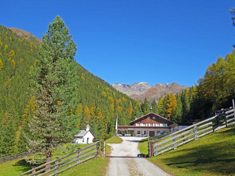
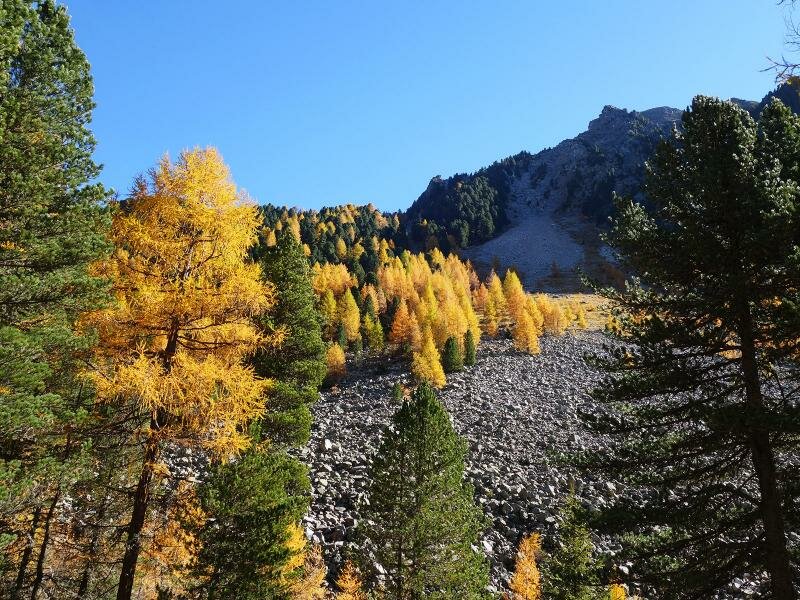
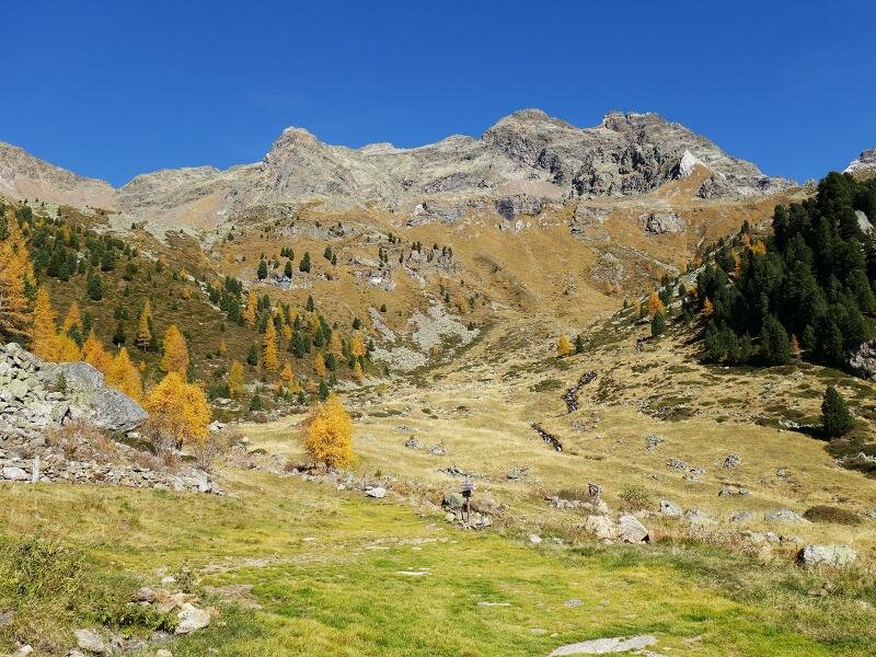
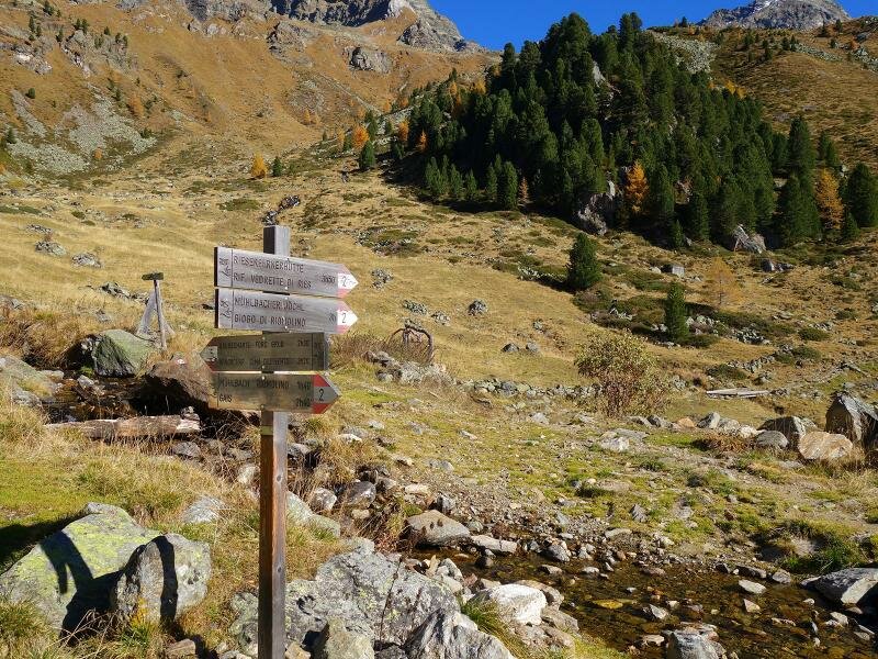
The latter sits at an altitude of 2,030 metres in the Rieserferner Group. This point marks the end of the forest road and the beginning of the steep path up to the Cima del Vento. It is also the start of the hiking trail that leads over the Giogo di Rio Molino ridge and the Cima Valfredda glacier to the famous Vedrette di Ries Mountain Hut. We are not planning such demanding routes today.
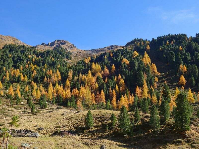
After a break, we return along the same route. Stopping at the previously mentioned mountain inn is a pure delight. It provides a wonderful end to this autumn walk, which also reveals the vibrant colours of the larch meadows. (Update: The Badl mountain inn no longer operates as a rest point - it offers accommodation and is now open only to guests staying at the inn).
Author: AT
Experienced: October 2017
Last updated: 2026
-
- Starting point:
- parking space in the Valle di Rio Molino above Gais (1,618 m a.s.l.)
-
- Overall time:
- 02:35 h
-
- Total route length:
- 8,3 km
-
- Altitude:
- from 1.618 m to 2.030 m
-
- Altitude difference (uphill | downhill):
- +432 m | -432 m
-
- Signposts:
- no. 2
-
- Destination:
- Oberwanger Mountain Hut (2,030 m a.s.l.)
-
- Resting points:
- Huber tavern in Rio Molino, Huber Hut (June to September/October)
-
- Recommended time of year:
- Jan Feb Mar Apr May Jun Jul Aug Sep Oct Nov Dec
-
- Download GPX track:
- Hike to the Valle di Rio Molino mountain pastures
-
- More information:
- The overall time shown above refers to the walking time only, not including breaks or stops. We recommend checking beforehand to see if the Huber Hut is open: +39 0474 861 205.
If you want to undertake this hike, we recommend checking the weather and trail conditions in advance and on site before starting this hike!