This family hike leads from S. Maddalena along a varied path to the Malga Kradorfer mountain hut at the head of the Val Casies valley
Image gallery: Hike to the Malga Kradorfer hut
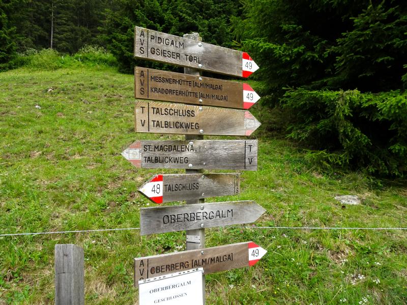
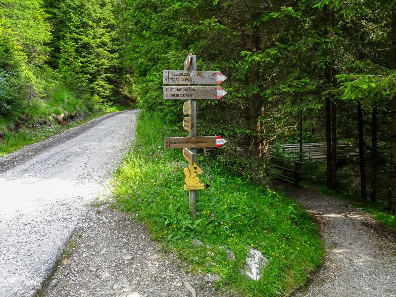
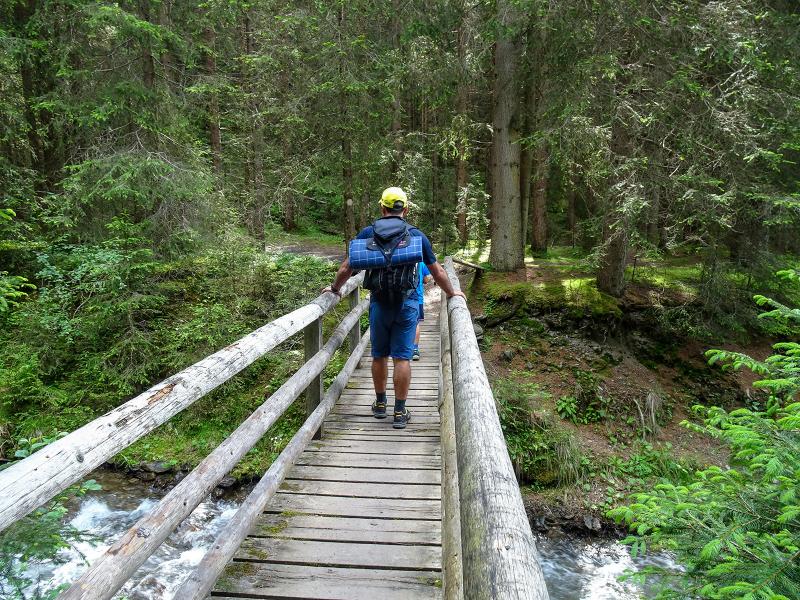
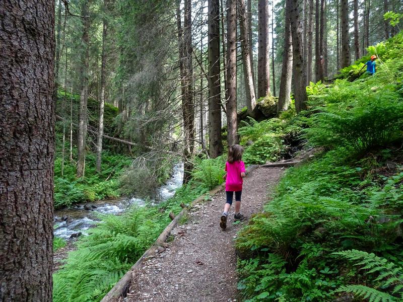
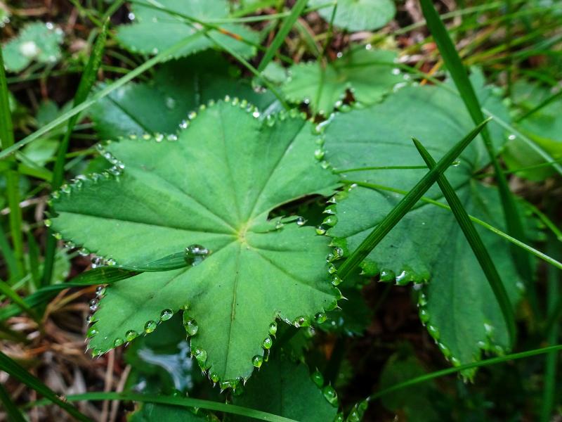
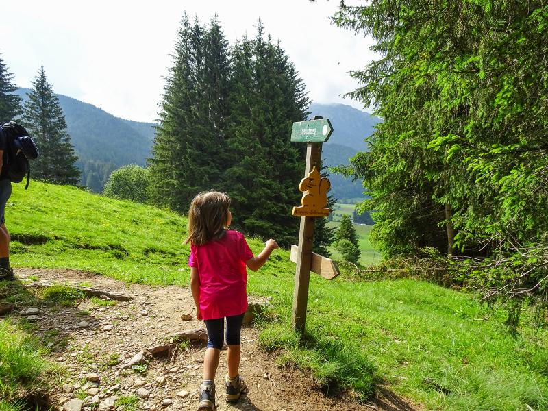
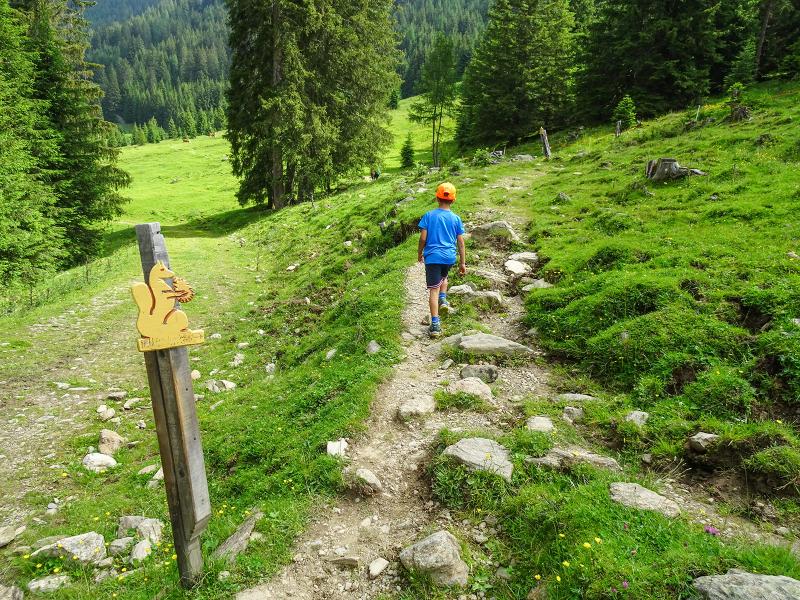
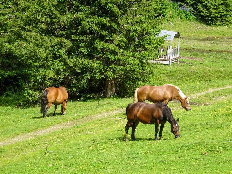
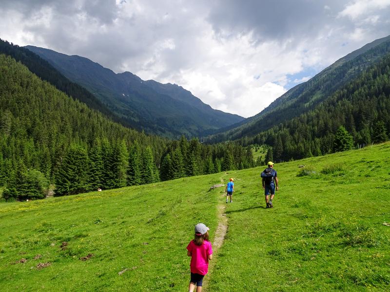
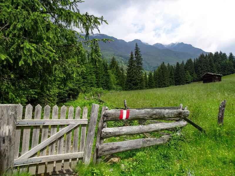
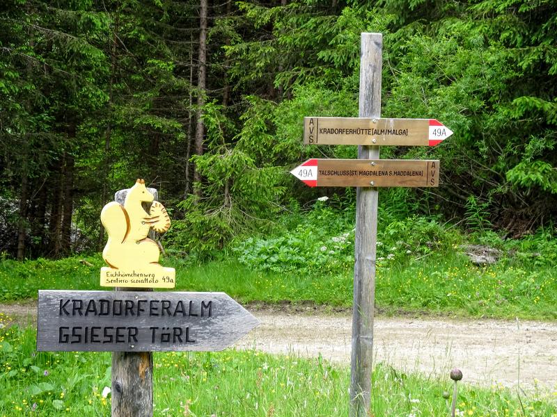
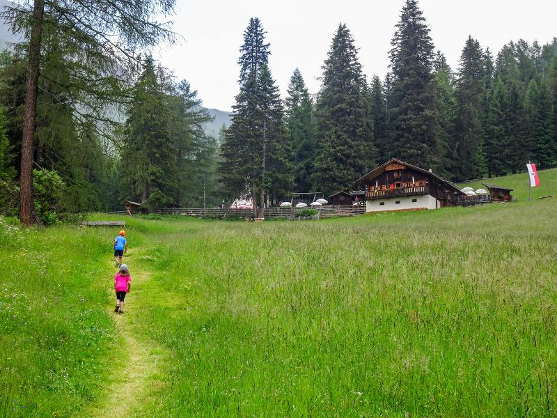
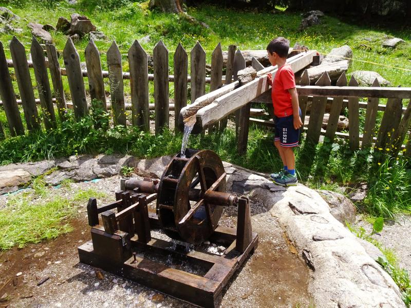
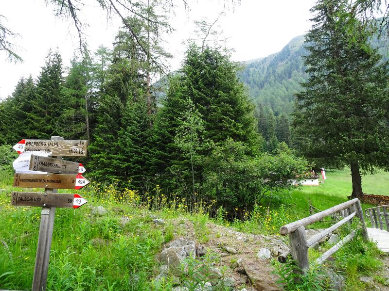
We start our hike at the car park next to the Rifugio Fondovalle mountain hut (Talschlusshütte, 1,460 m a.s.l.) to Santa Maddalena in Casies (St. Magdalena in Gsies). From there, we first walk along the forest road no. 49 into the valley and after a short walk turn right onto the Squirrel Path (Eichhörnchenweg) no. 49A. This path is moderately ascending and runs parallel to the forest road, but is more varied. It leads once through the forest, then again across meadows and the element water is our constant companion in the form of mountain streams.
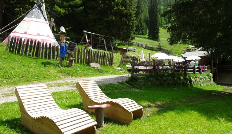
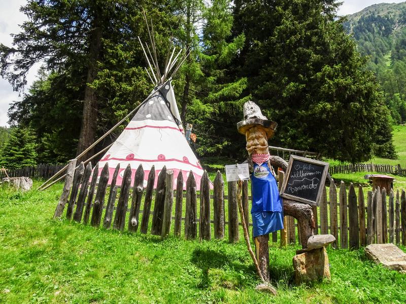
After about one hour we reach the Malga Kradorfer mountain hut (Kraforder Alm, 1,700 m a.s.l.), where we stop for lunch. The children enjoy themselves on the large playground including a tepee.
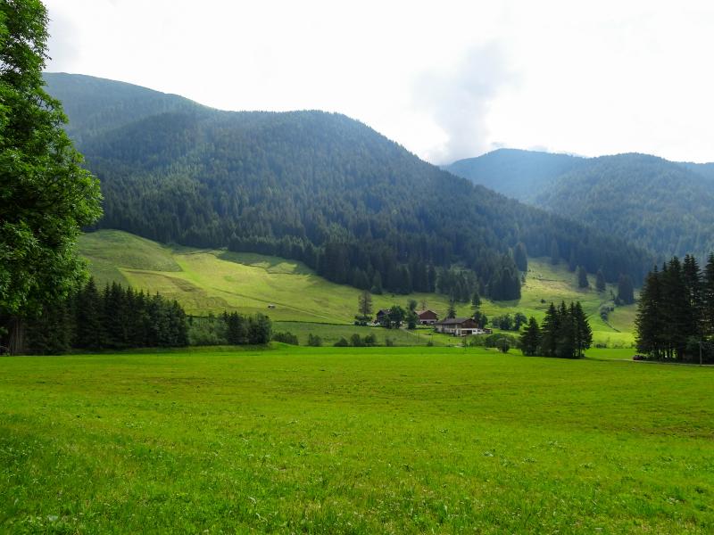
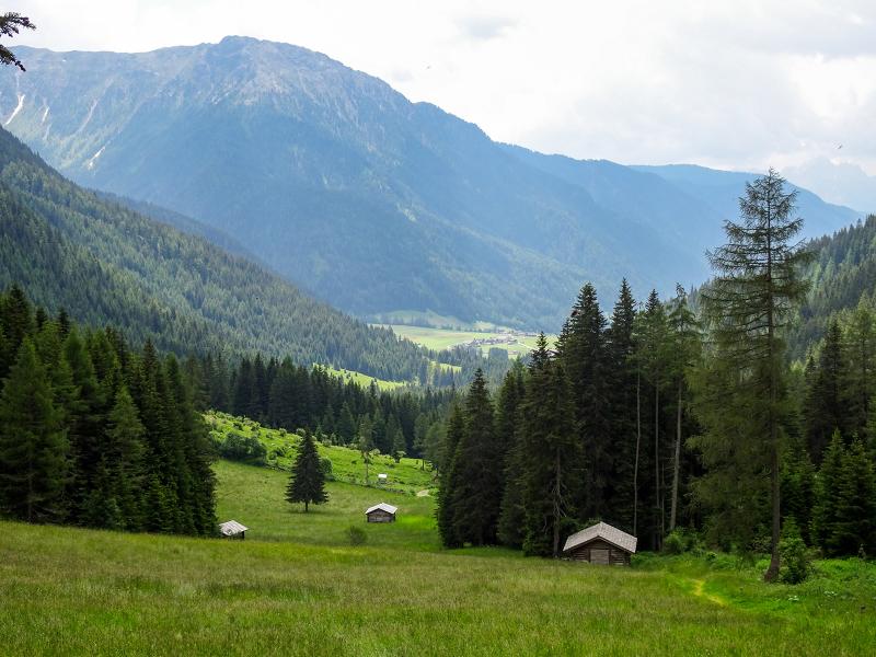
From the hut we can enjoy a wonderful view on the head of the Casies Valley and the surrounding alpine world. For the way back we choose path no. 49, which passes the Messnerhütte mountain hut and brings us back to the starting point in about 45 minutes.
Author: AD
-
- Starting point:
- Rif. Fondovalle hut in S. Maddalena in Casies
-
- Overall time:
- 02:10 h
-
- Total route length:
- 7,3 km
-
- Altitude:
- from 1.464 m to 1.710 m
-
- Altitude difference:
- +246 m | -246 m
-
- Signposts:
- no. 49, 49A
-
- Destination:
- Malga Kradorfer hut
-
- Resting points:
- Malga Kradorfer hut, Messner hut
-
- Track surface:
- asphalt, dirt road
-
- Recommended time of year:
- Jan Feb Mar Apr May Jun Jul Aug Sep Oct Nov Dec
-
- Download GPX track:
- Hike to the Malga Kradorfer hut
If you want to do this hike, we suggest you to check the weather and trail conditions in advance and on site before setting out.