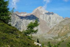
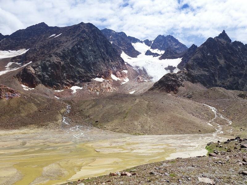
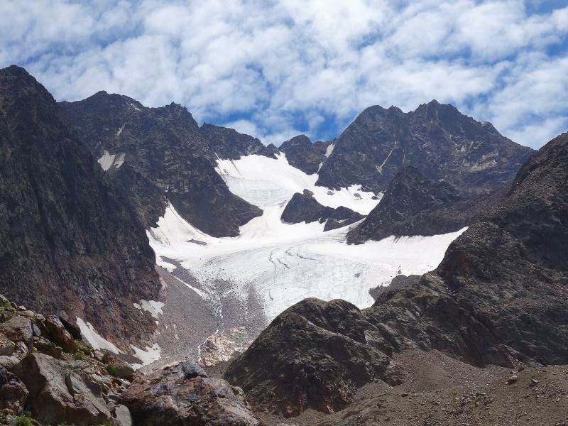
The lake district in the back Val di Mazia valley, straight beneath the glaciated summits of the Saldura Peaks, is our destination today
Image gallery: Mountain tour to the Laghi di Saldura lakes
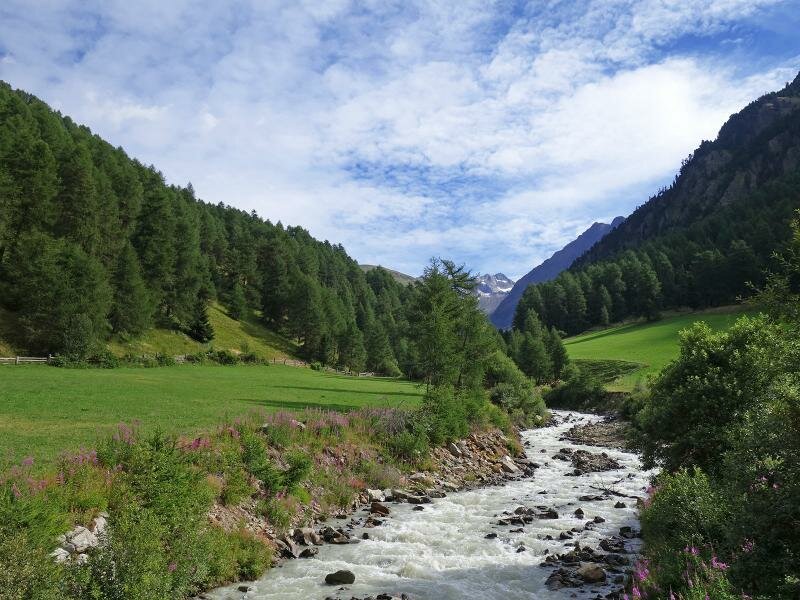
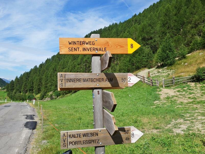
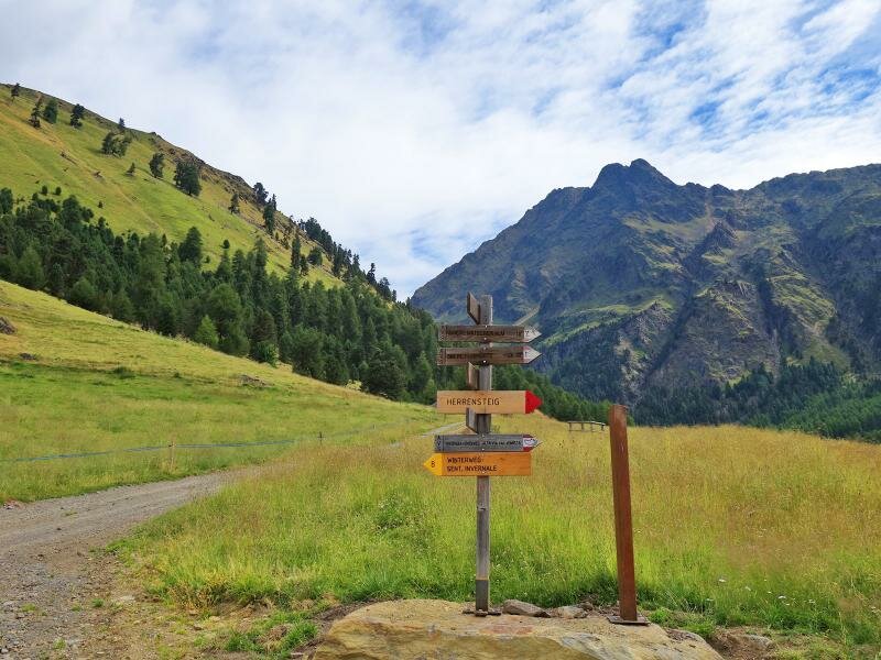
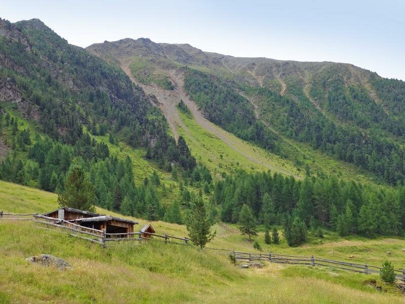
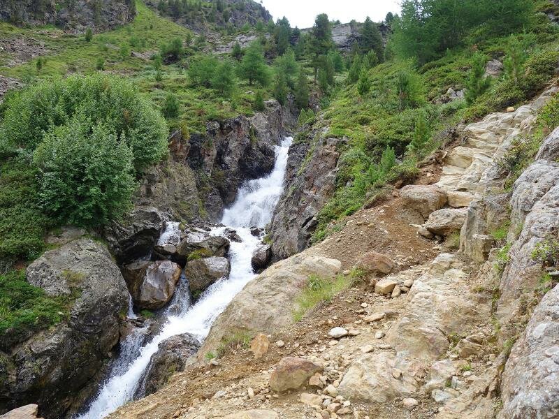
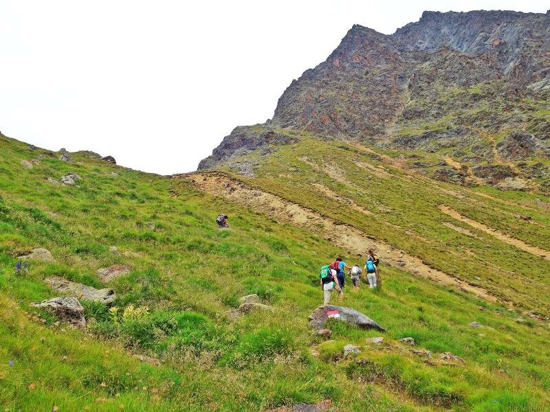
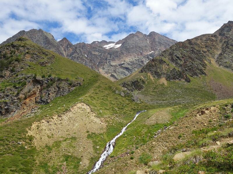
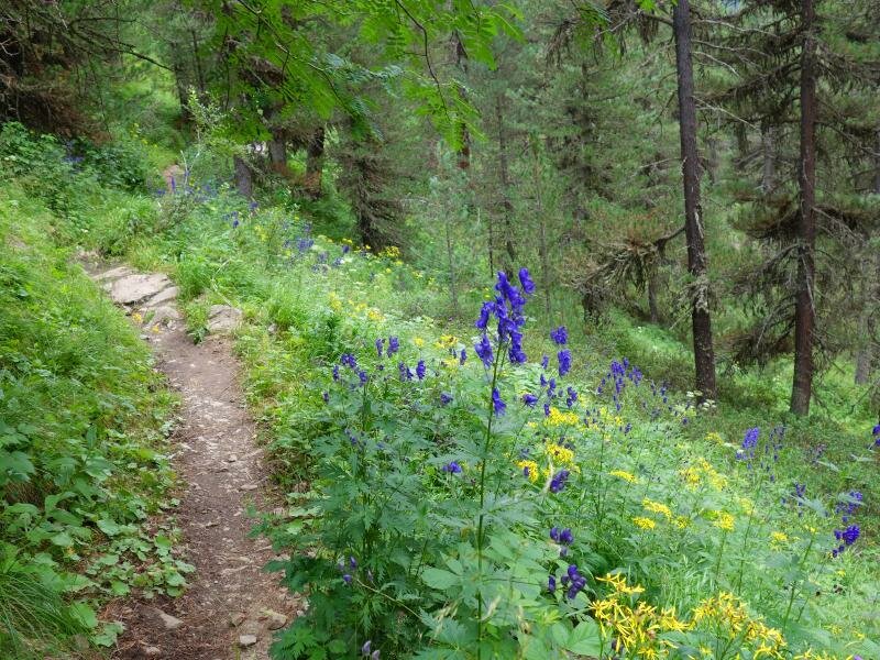
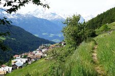
Starting point of our alpine hike is the parking space at the Glies Farms, at the end of the asphalted road in the Mazia Valley. We comfortably start along the path no. 2, a forest road which proceeds into the valley. After about 50 minutes the path crosses the Rio Saldura brook and we reach the Mazia di Dentro Mountain Hut (Innere Matscher Alm). Behind this wooden hut, path no. 4 branches to the right towards "Bildstöckljoch/Saldurseen".
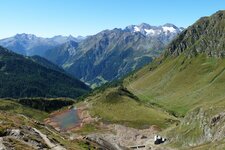
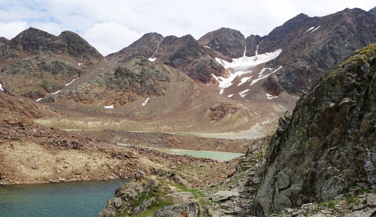
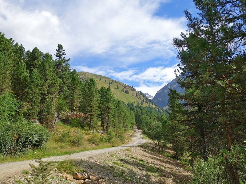
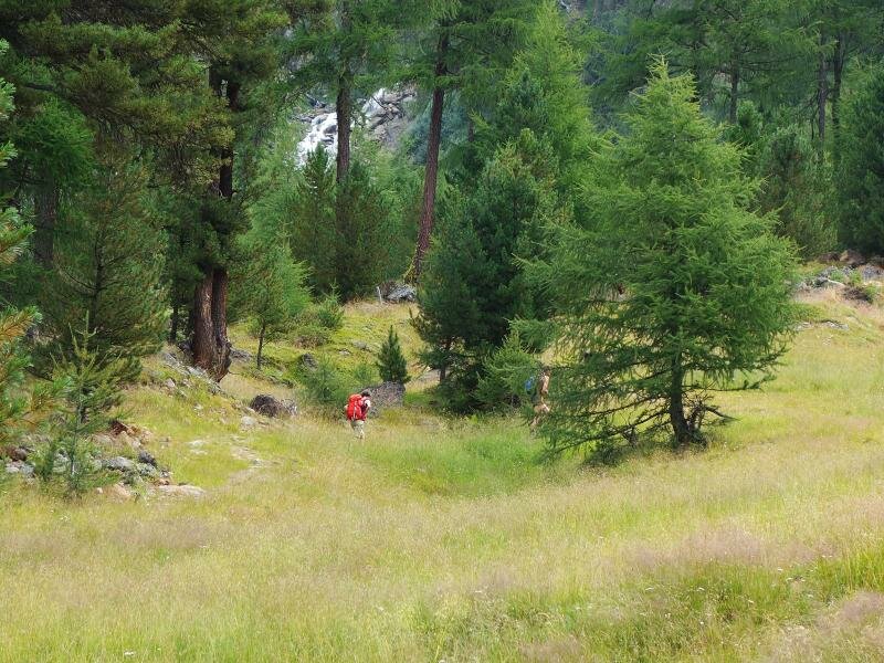
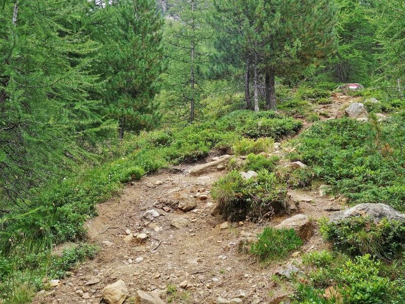
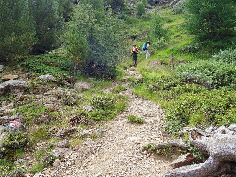
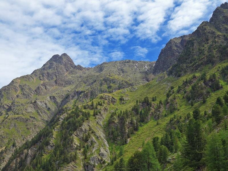
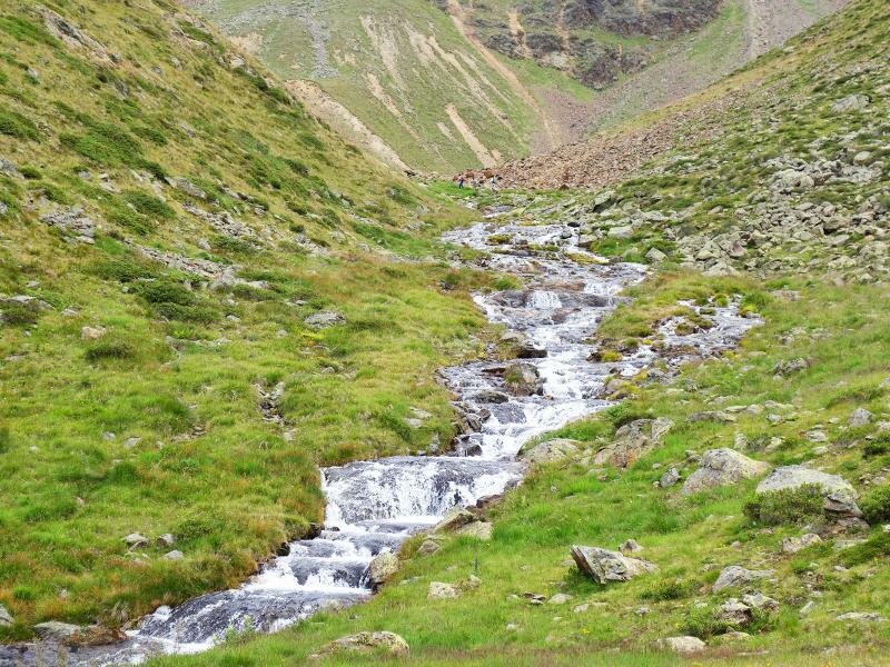
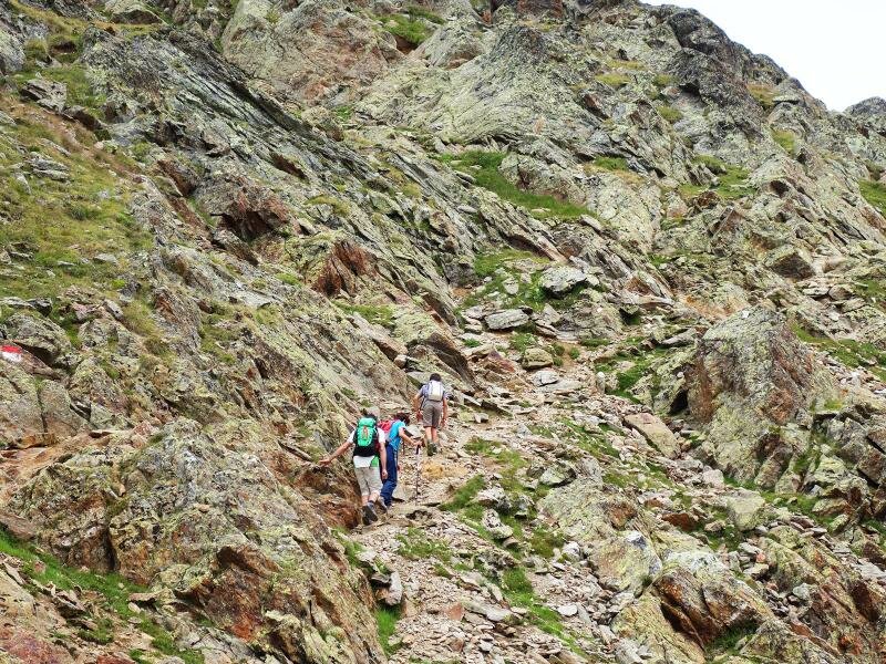
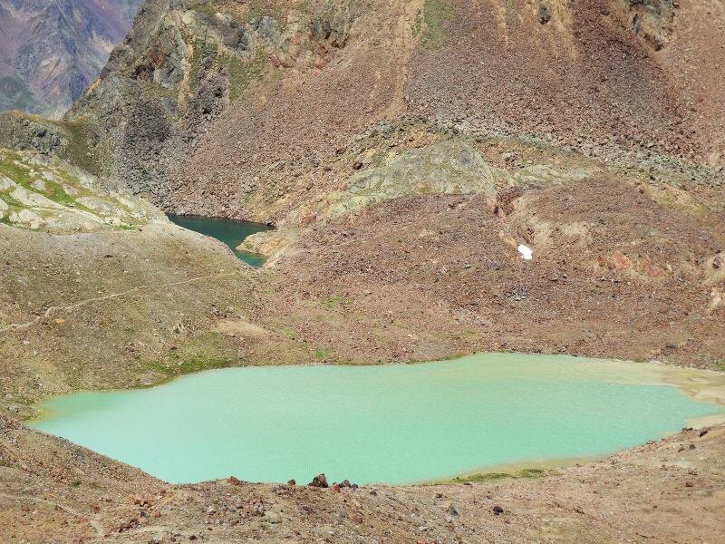
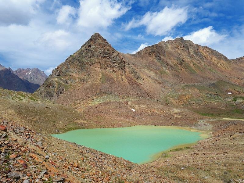
It is a steep path which leads us uphill above the timber line. At about 2,300 m a.s.l. the Piani di Saldura Grounds (Saldurböden) are located, a very scenic high alpine rocky landscape with meadows. The path passes several glacial streams always further uphill, soon across rocky terrain up to more than 2,800 m a.s.l., where the lake district is located. The biggest lake with its turquoise water is a real eyecatcher, right beside it there is a second lake basin which is fed by the glacier.
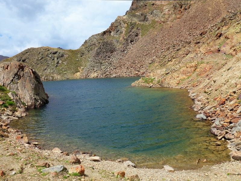
A striking contrast forms the above situated dark blue Western Saldura Lake, which is not fed by the glacier. Amidst this gorgeous landscape we enjoy our picnic before we start our way back down into the valley again, along the same route. Ambitious hikers can take the significantly longer route via the Oberettes Mountain Hut (Oberetteshütte), first above 3,000 m a.s.l. and then along an alpine trail with difficult sections down into the valley.
Author: AT
-
- Starting point:
- Glieshof farm, Mazia (Matsch)
-
- Overall time:
- 05:30 h
-
- Total route length:
- 12,7 km
-
- Altitude:
- from 1.808 m to 2.783 m
-
- Altitude difference:
- +1012 m | -1012 m
-
- Signposts:
- 2, 4
-
- Destination:
- Saldur lakes
-
- Resting points:
- Glieshof farm and Mazia Mountain Hut (at the beginning of the tour)
-
- Recommended time of year:
- Jan Feb Mar Apr May Jun Jul Aug Sep Oct Nov Dec
-
- Download GPX track:
- Mountain tour to the Laghi di Saldura lakes
If you want to do this tour, we suggest you to check the weather and trail conditions in advance and on site before setting out.