Easy mountain hike through the forests above San Giovanni in the Aurina Valley with destination at the popular Daimer Mountain Hut
Image gallery: Hike to the Malga Daimer hut
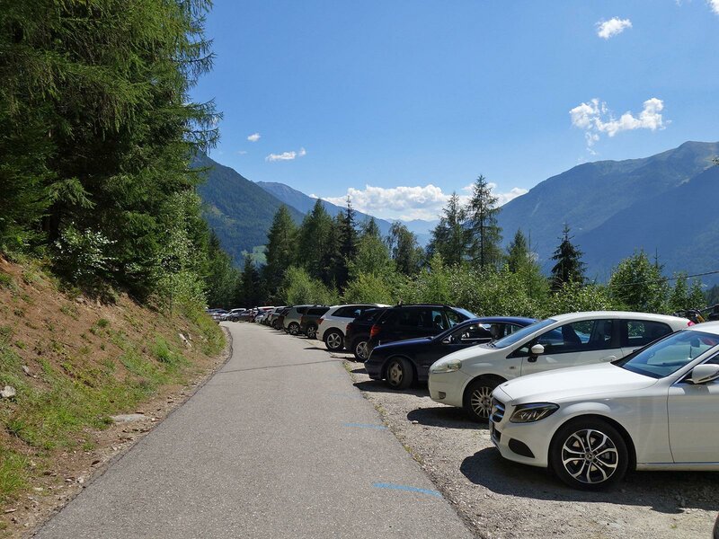
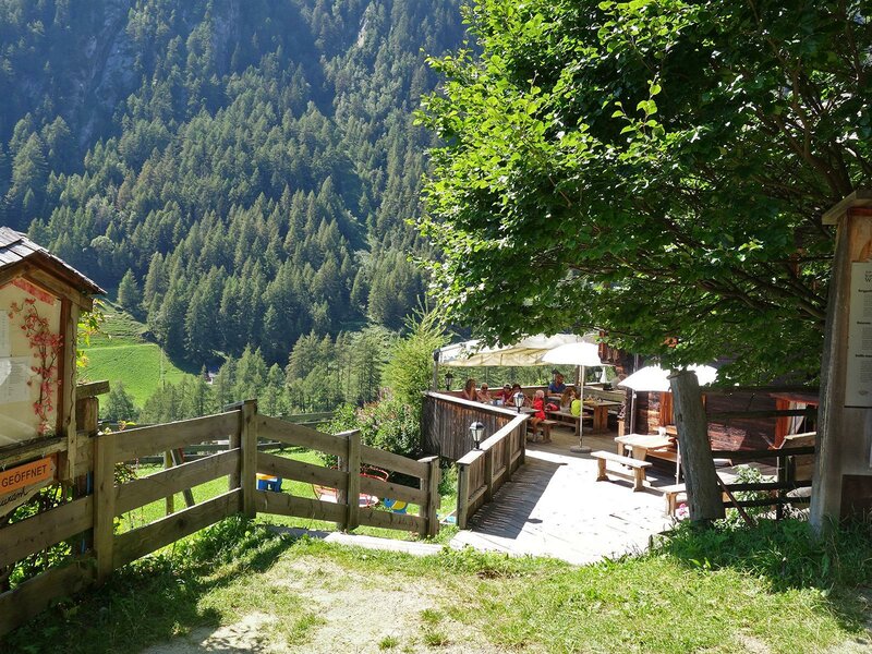
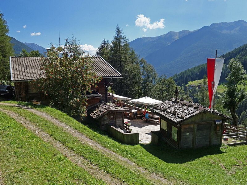
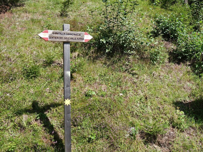
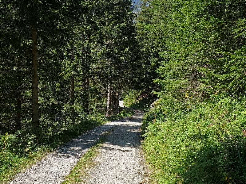
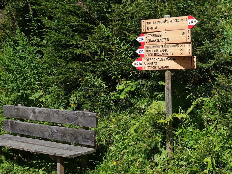
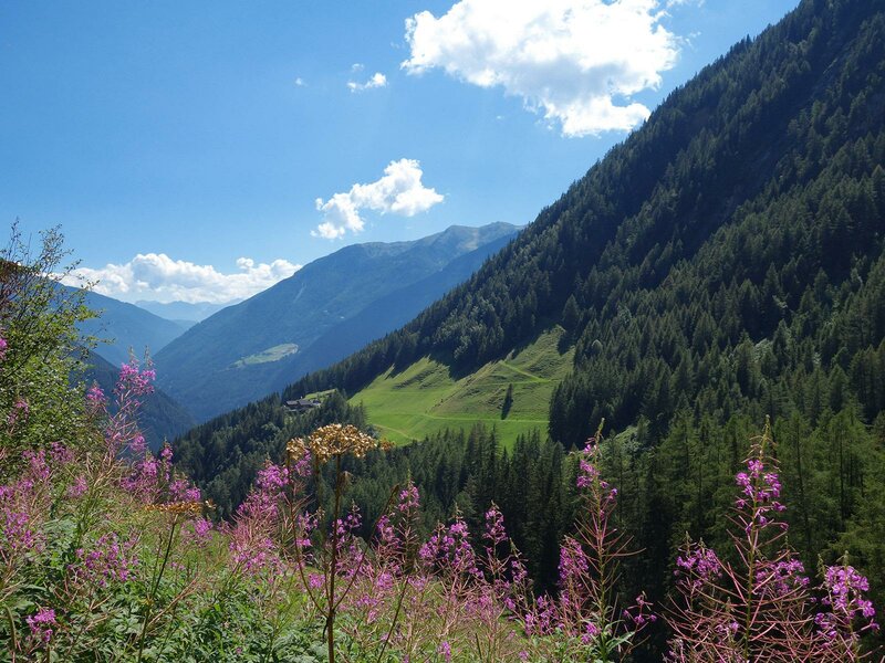
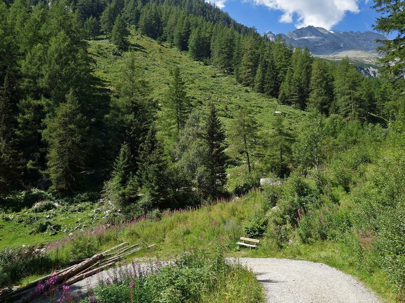
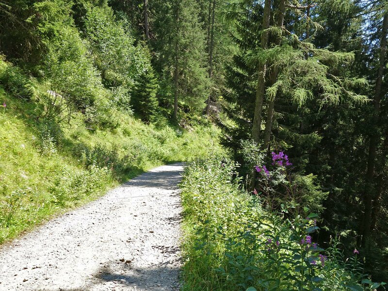
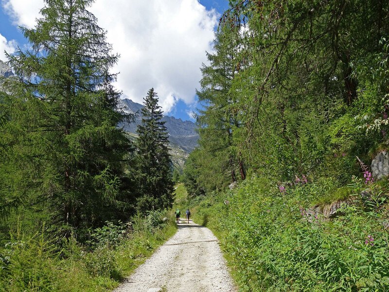
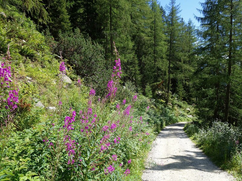
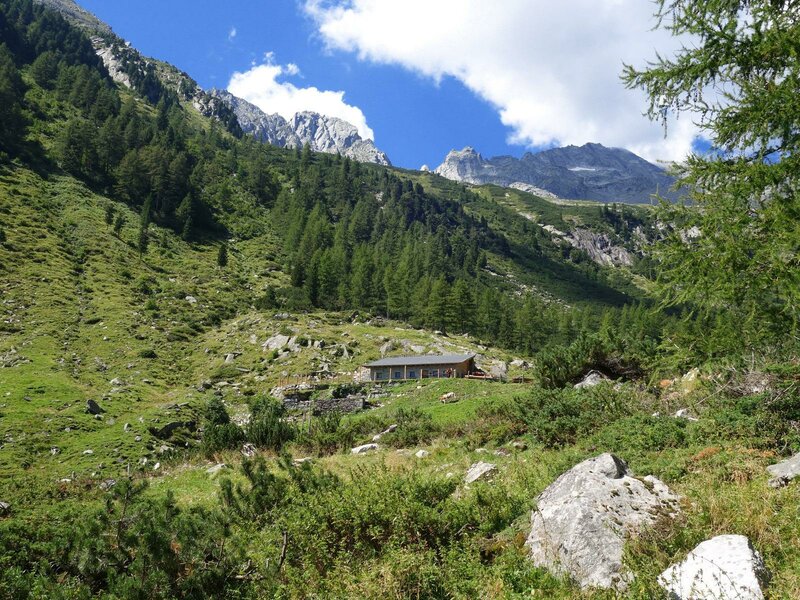
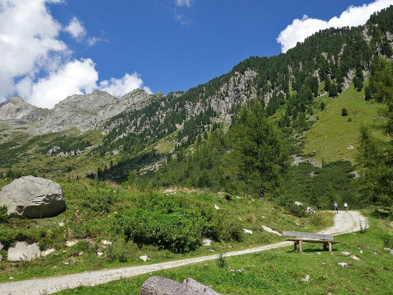
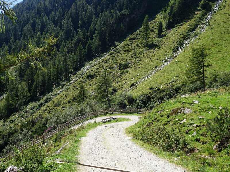
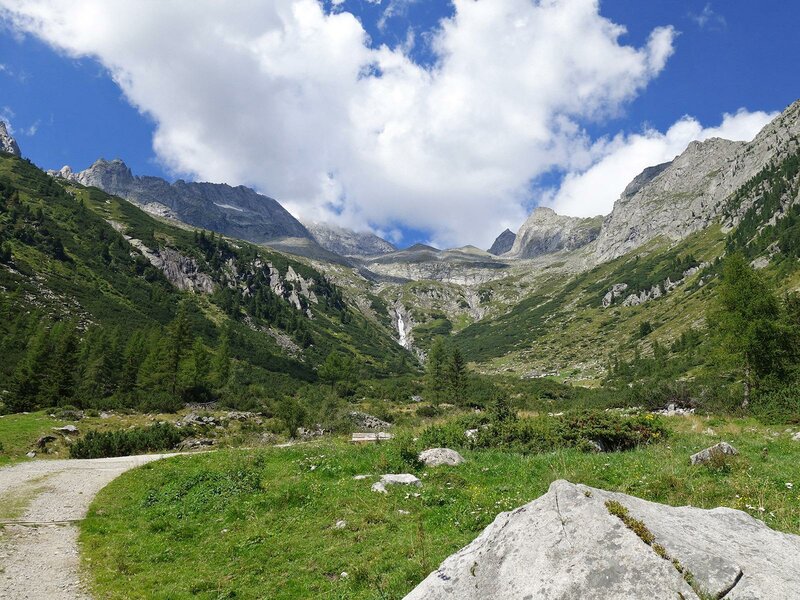
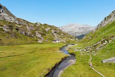
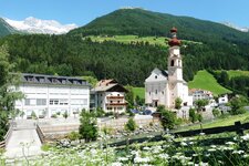
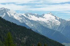
In the Valle di Rio Rosso valley (Rotbachtal), directly below the mighty Sasso Nero, the Daimer Hut is located at the forest border. The best starting point for this easy hiking destination is the car park at the Stallila mountain inn, which we reach by car from San Giovanni in Valle Aurina via the Rohrberg road. The easiest route is the alpine road ( marker no. 23A) - it first leads past the Stallila inn and then into the valley of the Rio Rosso brook. This path leads directly to the Daimer Hut. The first half of the approximately 3 km long route runs through the forest. Later, alpine meadows accompany us. The Ortner stable and the Schöllbergalm (rest point) are on the edge of the path.
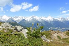
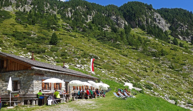
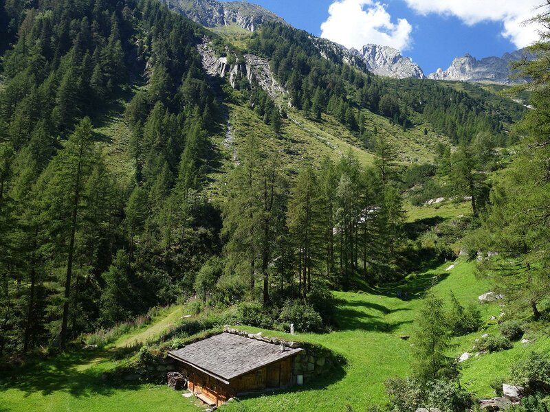
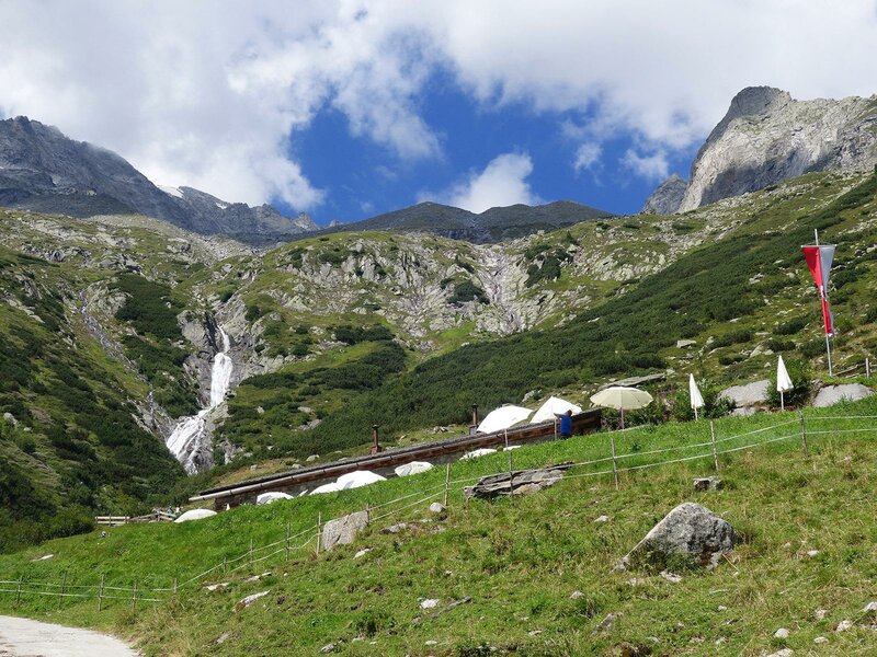
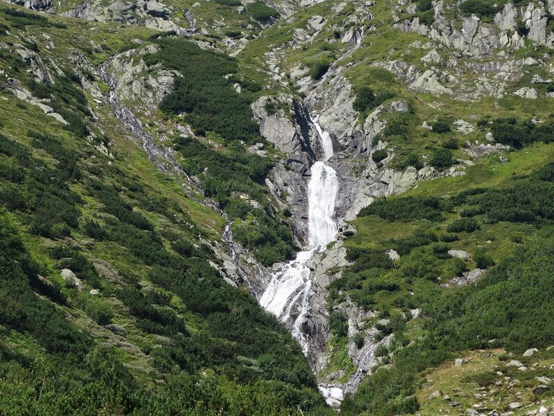
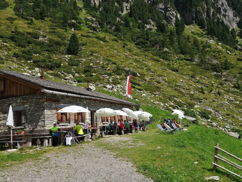
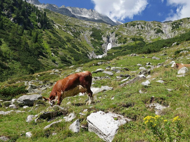
The hike takes us a comfortable 90 minutes, only the last section before our destination is a bit steep. The stone hut was named after Josef Daimer, a well-known physician in the Val di Tures valley. On his initiative, the Tures section of the German-Austrian Alpine Association was founded in 1873. Today, the Daimer Hut is a popular hiking destination, offering drinks and food, including butter and grey cheese from its own production, from mid-June to mid-October. Cows graze on the meadows, behind them rushes the waterfall of the Rio Rosso brook, which brings melt water from the Sasso Nero (Schwarzenstein) down into the valley.
Author: AT
-
- Starting point:
- Parking “Stallila”, San Giovanni in Valle Aurina
-
- Overall time:
- 02:30 h
-
- Total route length:
- 5,8 km
-
- Altitude:
- from 1.462 m to 1.861 m
-
- Altitude difference:
- +399 m | -399 m
-
- Signposts:
- 23A
-
- Destination:
- Daimer hut
-
- Resting points:
- Mountain inn Stallila, Schöllbergalm, Daimer hut
-
- Track surface:
- Dirt road
-
- Recommended time of year:
- Jan Feb Mar Apr May Jun Jul Aug Sep Oct Nov Dec
-
- Download GPX track:
- Hike to the Malga Daimer hut
If you want to do this hike, we suggest you to check the weather and trail conditions in advance and on site before setting out.