A mountain lake, alpine pastures, and beautiful views make this circular hike in the Val d’Ultimo mountains so appealing
Image gallery: Hike to the Valcomai Mountain Huts
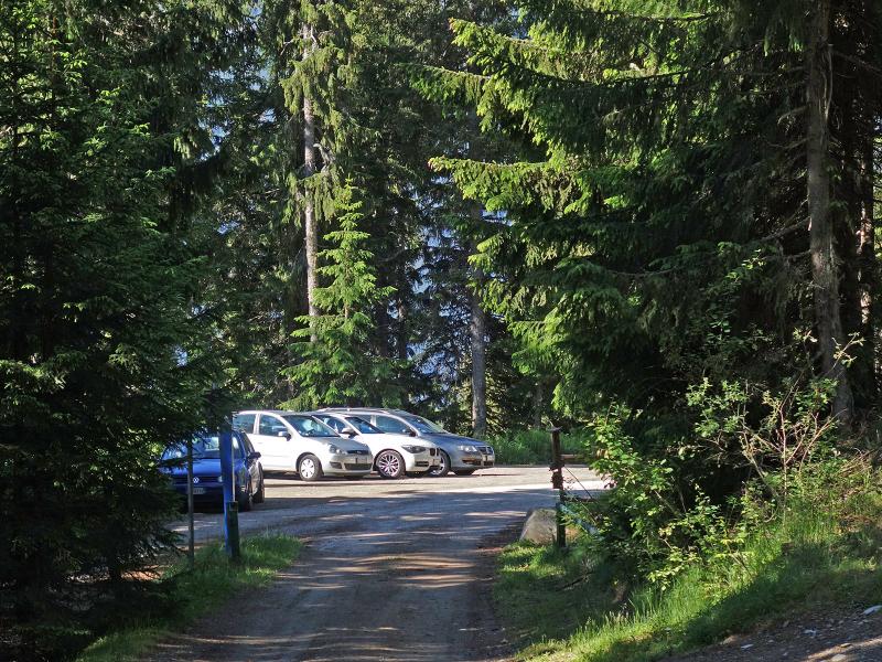

To reach the starting point, we follow the road sign to Sant'Elena in San Pancrazio (alternatively also accessible from Santa Valburga). The winding mountain road leads via the hamlet of Mariolberg to the car park in the forest just before Sant'Elena, where we leave the car.
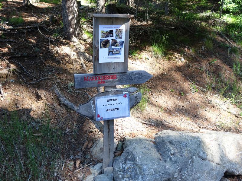
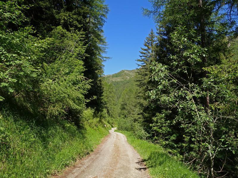
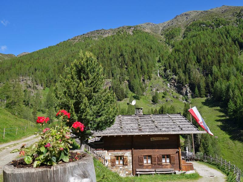
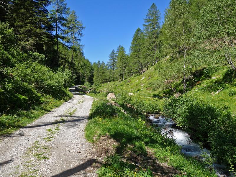
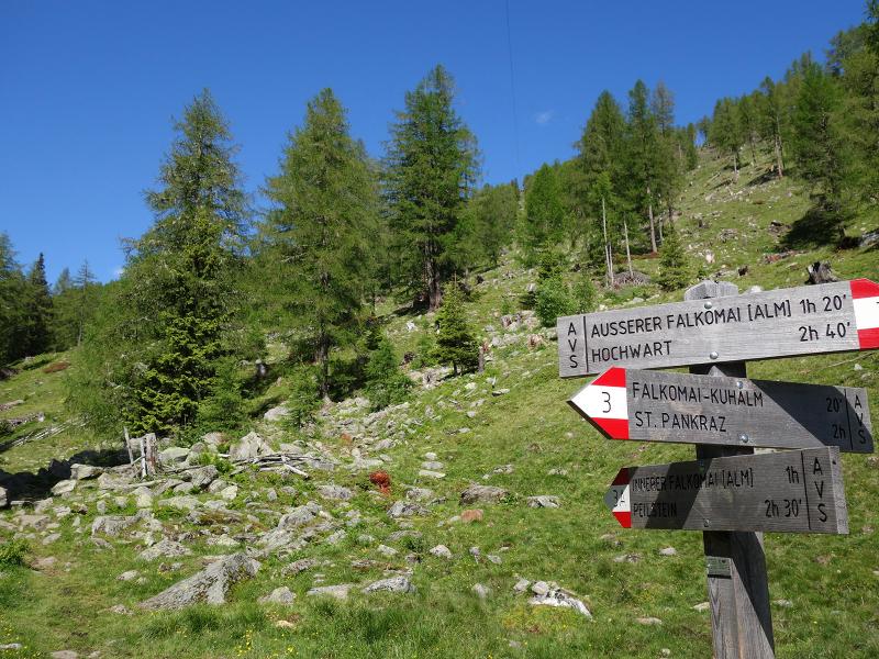
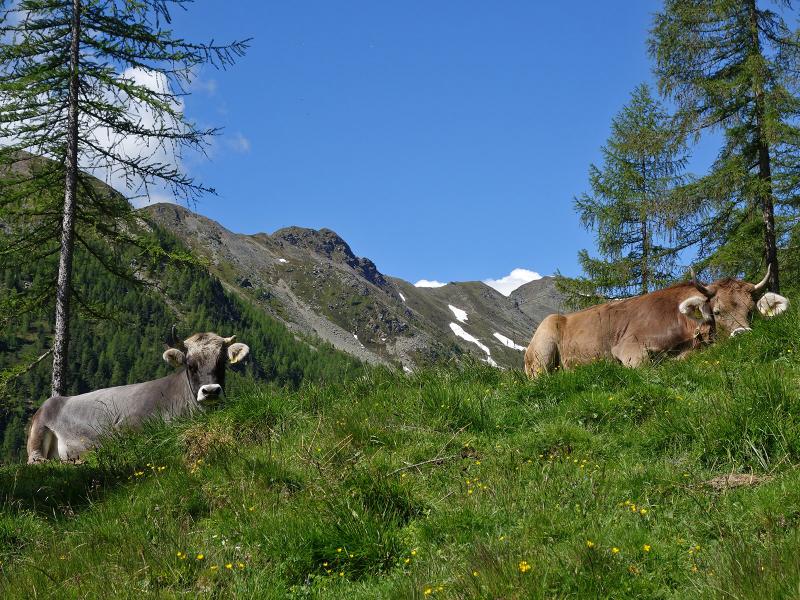
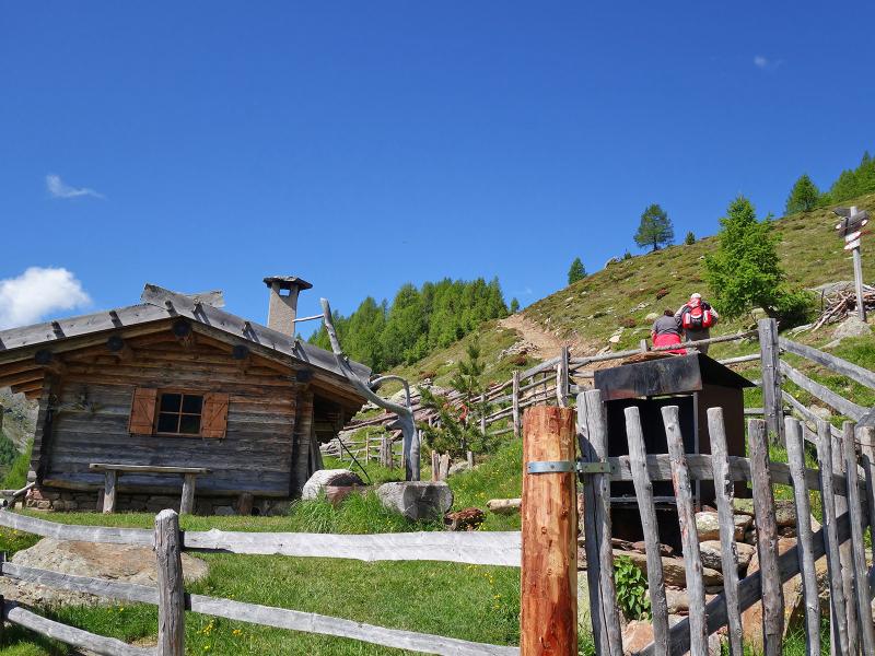
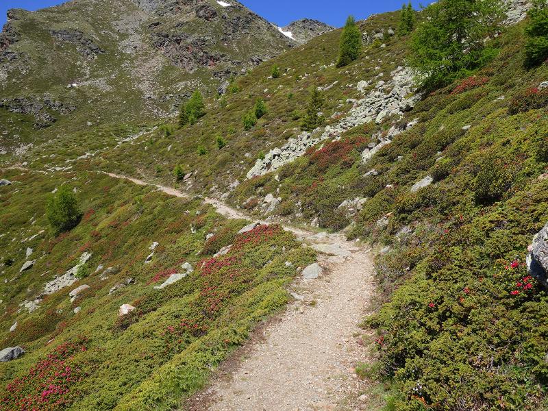
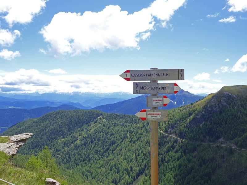
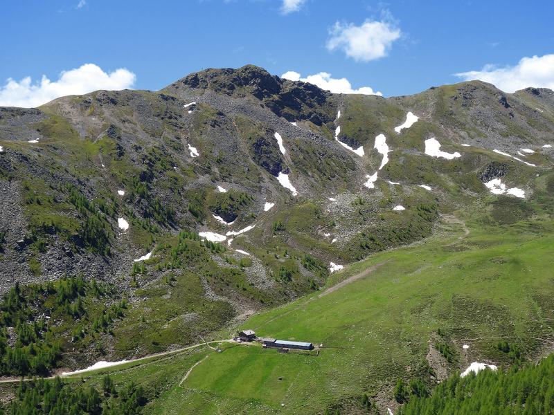
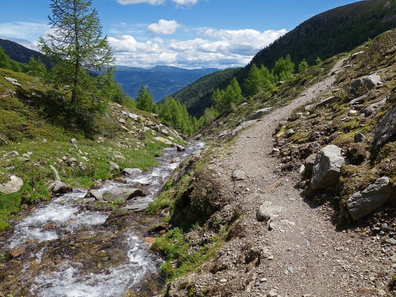
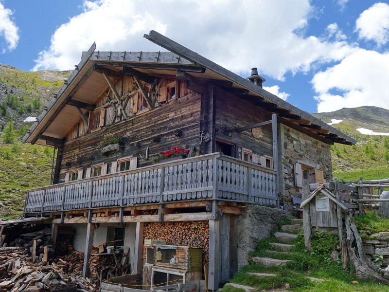
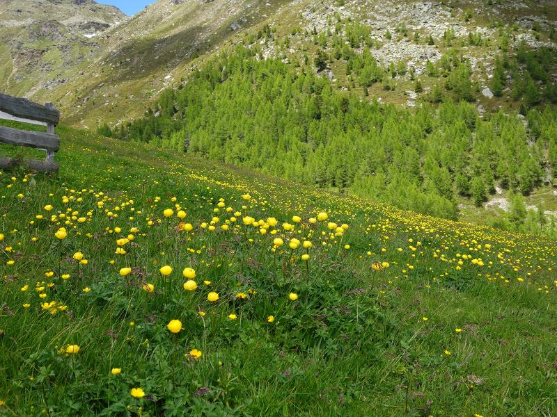
We set off along forest road no. 9A to the Mariolberg Hut, also known as the Falkomai Kuhalm. Walking past it, we stay on the path that leads deeper into the valley alongside the Rio della Chiesa stream. We continue until we reach a bridge, where we follow path no. 3 towards the Outer Valcomai Hut (Ausserfalkomai). The steepest section begins here.
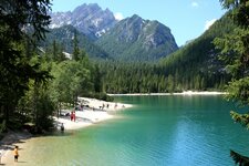
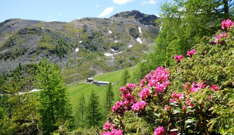
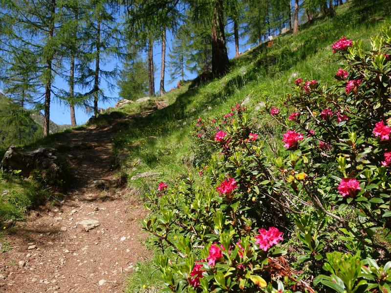
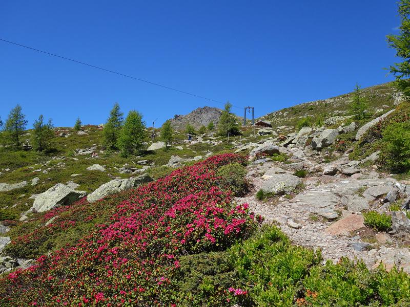
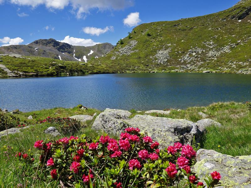
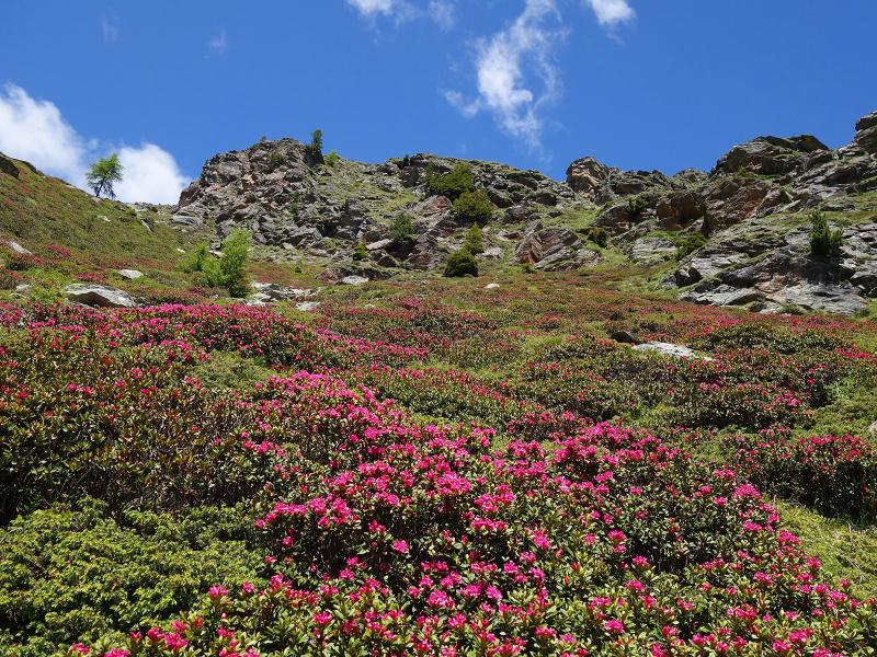
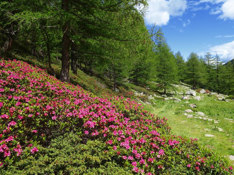
A trail takes us up an ascent of nearly 300 metres in altitude to the Leger Hut. Once at the top, the Alpine Rose Trail provides a slightly easier route onwards to the Valcomai Mountain Huts. The high-altitude path alternates between forest and heathland until it reaches the Outer Valcomai Hut. Naturally, the alpine roses are at their most beautiful right now in June. A carpet of rust-red blossoms covers the alpine landscape. We then continue our hike to Lake Valcomai.
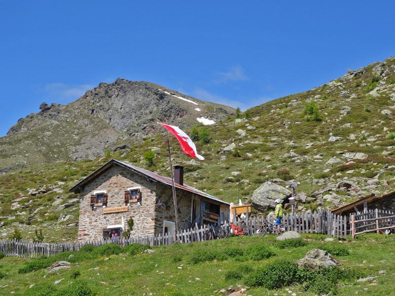
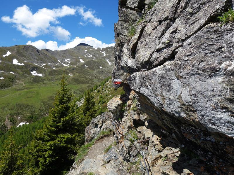
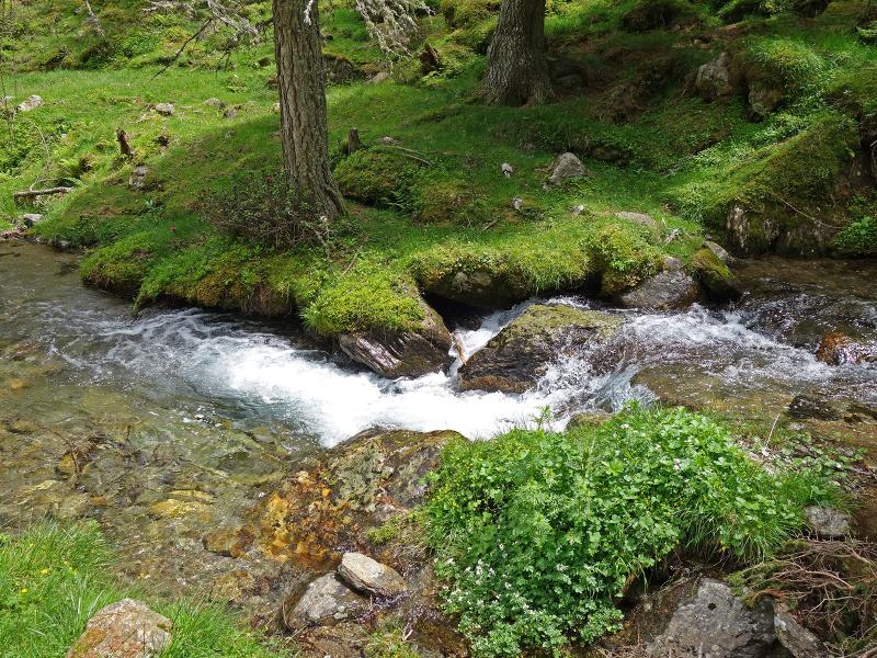
Afterwards, already on the descent, we hike to the Inner Valcomai Hut at the head of the valley. The return to the starting point follows path no. 3A. This route runs alongside the stream and leads to the Mariolberg Hut. From there, we follow the forest road back to the car park. After the lake, the trail briefly leads through rocky terrain, where difficult sections are secured with steel cables.
Author: AT
Experienced: June 2020
Last update: 2026
-
- Starting point:
- parking space before Sant'Elena above San Pancrazio (1,554 m a.s.l.)
-
- Overall time:
- 04:00 h
-
- Total route length:
- 12,7 km
-
- Altitude:
- from 1.554 m to 2.175 m
-
- Altitude difference (uphill | downhill):
- +653 m | -653 m
-
- Route:
- Santa Elena - Mariolberg Hut - Outer Valcomai Hut (Ausserfalkomai) - Lake Valcomai - Inner Valcomai Hut (Innerfalkomai) - Mariolberg - Santa Elena
-
- Signposts:
- no. 9A, 3, 1 (Alpenrosenweg), 3A, 9A
-
- Destination:
- Inner Valcomai Hut (2,050 m a.s.l.)
-
- Resting points:
- Mariolberg Hut (May to October), Outer Valcomai Hut, Inner Valcomai Hut (both from June to September)
-
- Recommended time of year:
- Jan Feb Mar Apr May Jun Jul Aug Sep Oct Nov Dec
-
- Download GPX track:
- Hike to the Valcomai Mountain Huts
-
- More information:
- The overall time shown above refers to the walking time only, not including breaks or stops.
If you want to undertake this hike, we recommend checking the weather and trail conditions in advance and on site before starting this hike!