This hike in Val d’Ultimo leads past alpine pastures and grazing cows to the two beautiful Covolo Lakes
Image gallery: Hike to the Covolo Lakes
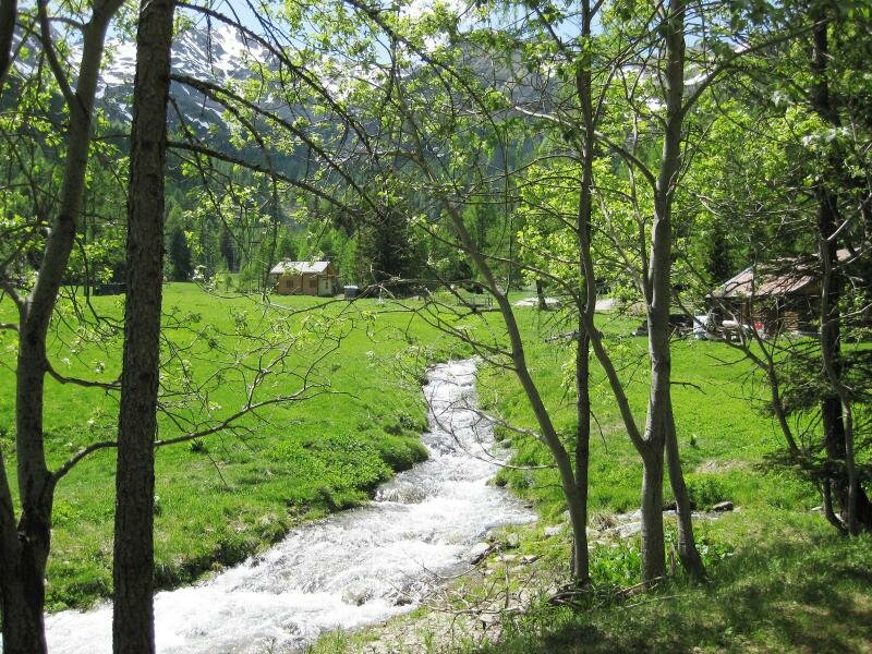
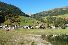
We start on a fine summer day in Pracupola in the Val d'Ultimo and drive to the Steinrast Hut at an altitude of around 1,720 metres. We park our car on the left in front of the mountain restaurant - on the right, the first signs already point the way into the forest. The well-marked path starts off somewhat steeply, but it does not take long to find a comfortable walking pace and cover the 20-minute stretch over rough terrain. A half-ruined alpine hut with a resting place comes into view.
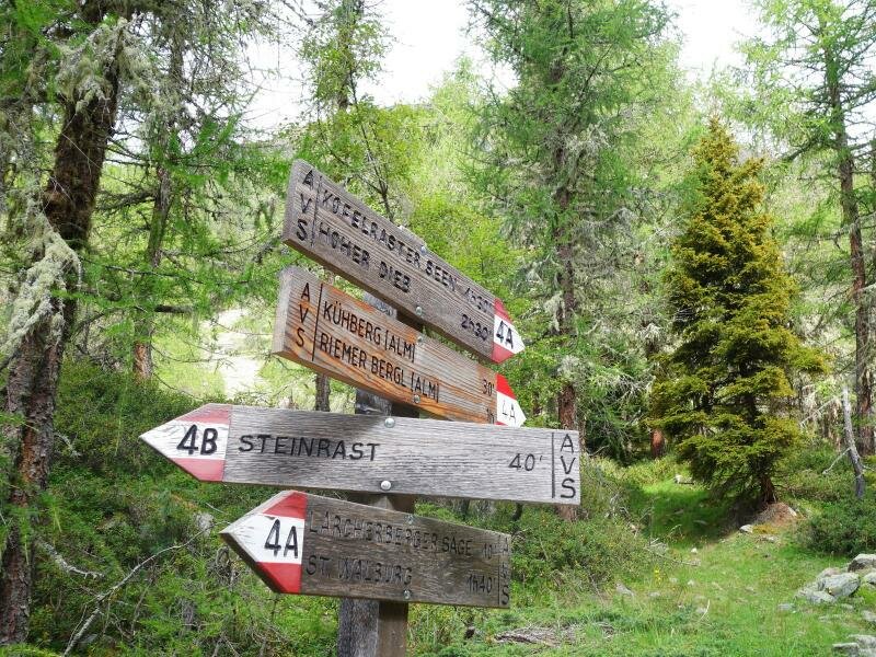
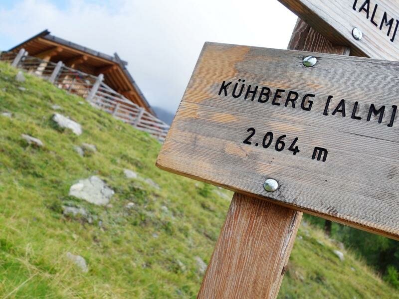
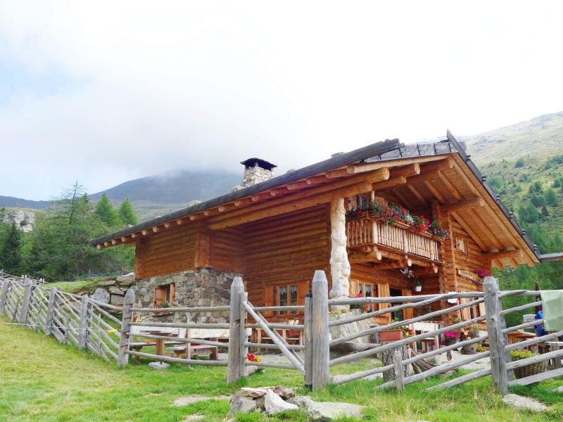
Following path no. 4/4A, we walk through the meadows and forests of the Val d'Ultimo. In an hour, we climb 300 metres in altitude and stand before the Kühberg Hut at 2,064 metres. It not only invites hikers to take a rest but also has overnight accommodation available upon request.
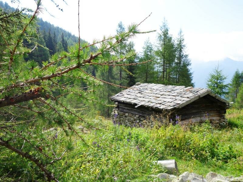
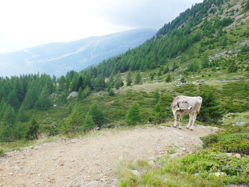
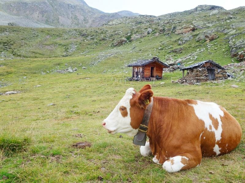
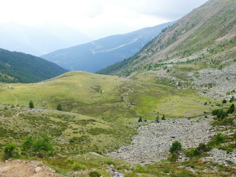
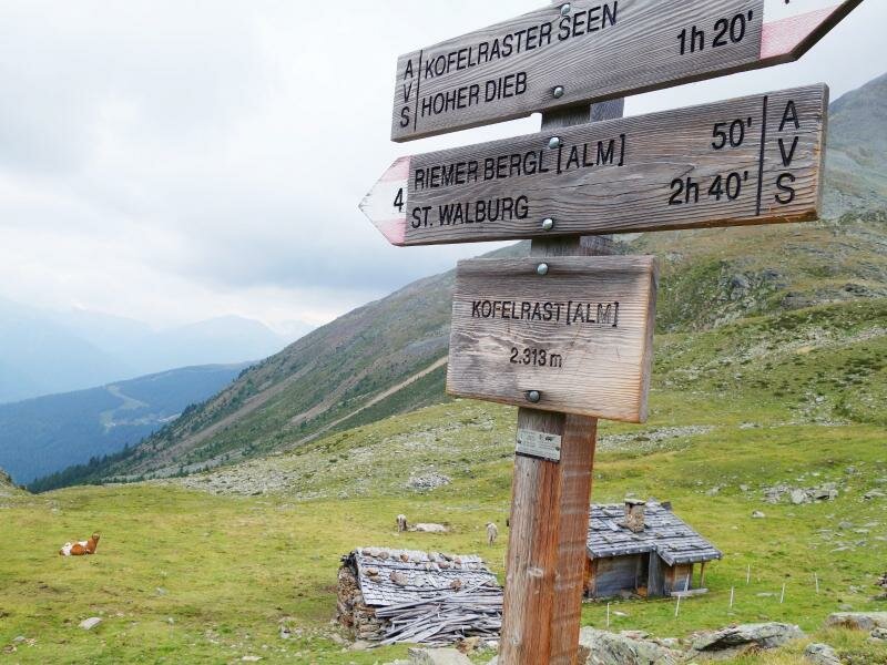
Here, a fence marks the alpine pastures for the cows. We now walk cross-country past resting or grazing cattle. After another 45 minutes, the valley spreads out below us. In front of us is a mountain stream with stepping stones and the unmanaged Covolo Hut (2,313 m a.s.l.). From a distance, you can hear the typical whistling of marmots. It is not far now.
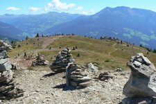
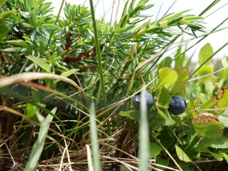
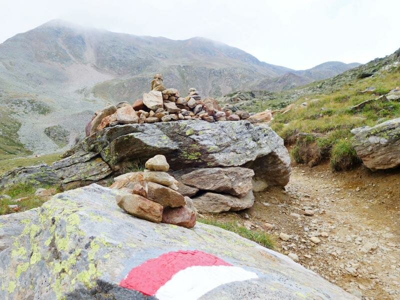
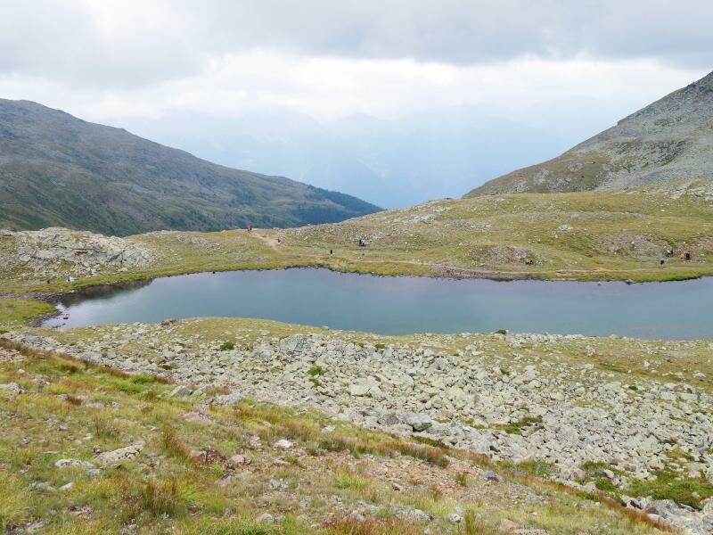
A short, steep ascent still separates us from the two beautiful Covolo Lakes (Kofelraster Seen) in the Gioveretto Group. To the left towers Mt. Gran Ladro (literally: Big Thief). The ascent rewards hikers with a sweeping panoramic view stretching from the mountains of the Val d'Ultimo to the Texel Group and the Dolomites, but it would take us an extra hour and 300 metres of altitude gain in each direction. We decide against it and tackle the final stony section up to the lakes, walking past "Stone Men" and grazing sheep. Once at the top, we take a deep breath.
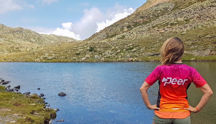
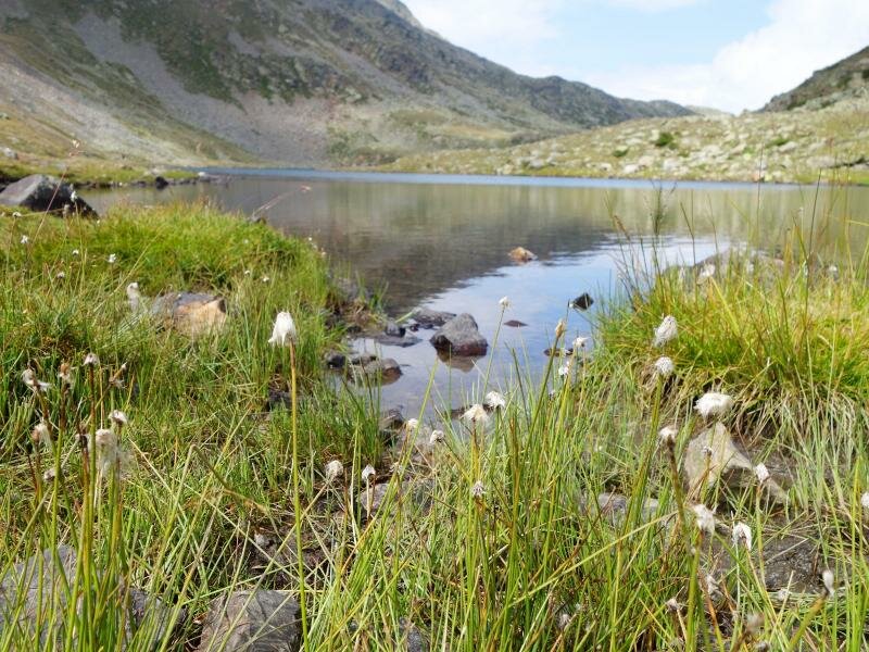
The first lake, with cotton grass on its shores, lies idyllically before us as the cloud cover breaks. We enjoy our provisions - Speck, cheese, and Schüttelbrot (traditional crispbread) - and then begin our journey back. The descent follows the same path. Alternatively, you can walk back via the managed Marcenel, or Marschnell. Hut at 2,213 metres, the highest alpine pasture in the valley. After 3.5 hours, we reach our car again. Please remember to take your rubbish back down with you!
Author: MS
Experienced: August 2018
Last updated: 2026
-
- Starting point:
- Steinrast mountain inn above Pracupola (1,717 m a.s.l.)
-
- Overall time:
- 03:30 h
-
- Total route length:
- 8,8 km
-
- Altitude:
- from 1.717 m to 2.405 m
-
- Altitude difference (uphill | downhill):
- +690 m | -690 m
-
- Signposts:
- no. 4/4A
-
- Destination:
- Covolo Lakes (2,405 m a.s.l.)
-
- Resting points:
- Kühberg Mountain Hut (June to October)
-
- Recommended time of year:
- Jan Feb Mar Apr May Jun Jul Aug Sep Oct Nov Dec
-
- Download GPX track:
- Hike to the Covolo Lakes
-
- More information:
- The overall time shown above refers to the walking time only, not including breaks or stops. For families: This hike is only recommended for children who are used to walking!
If you want to undertake this hike, we recommend checking the weather and trail conditions in advance and on site before starting this hike!