A walk through the woods between the Passo Palade and Monte Macaion leads us to the Tillhüttl gem and a small lake
Image gallery: Hike to the Schönegg viewpoint and the Tillwiesen

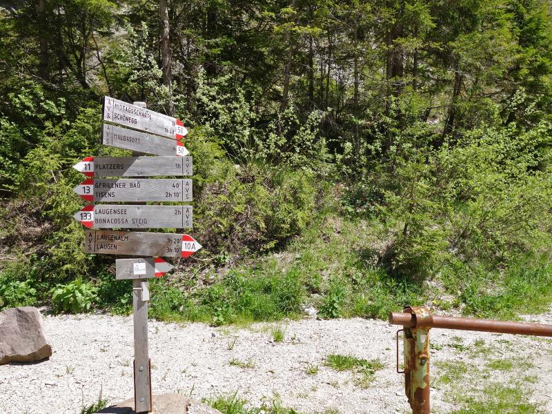
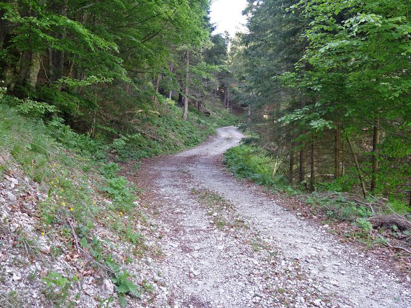
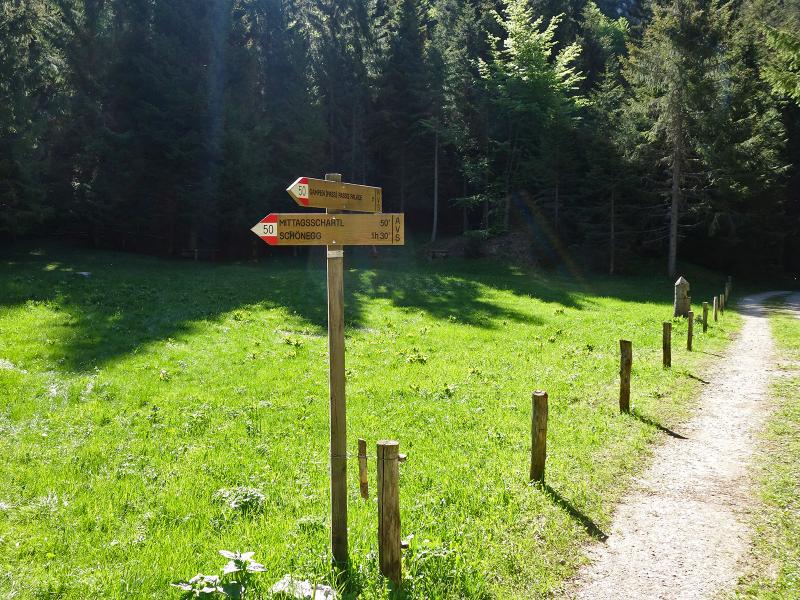
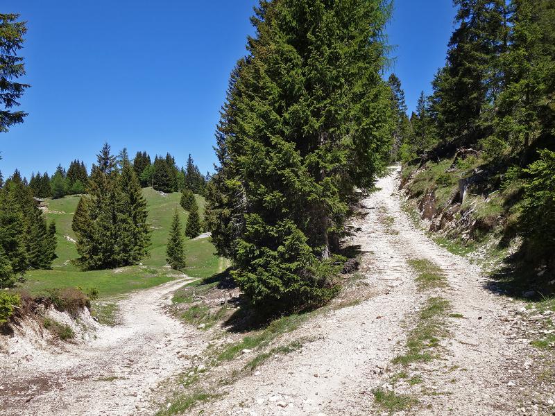
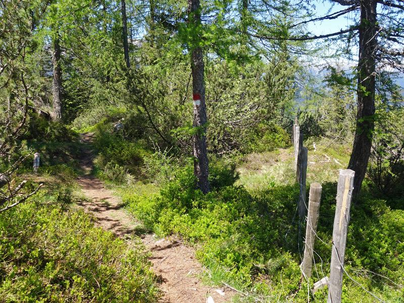
The hike begins at the Passo Palade above Caprile. A car park, an inn, and a bus stop are located here. We follow signpost no. 50. After 100 metres along the forest road, the sign directs us to a path. This trail soon climbs steeply before levelling out along the northern slope.
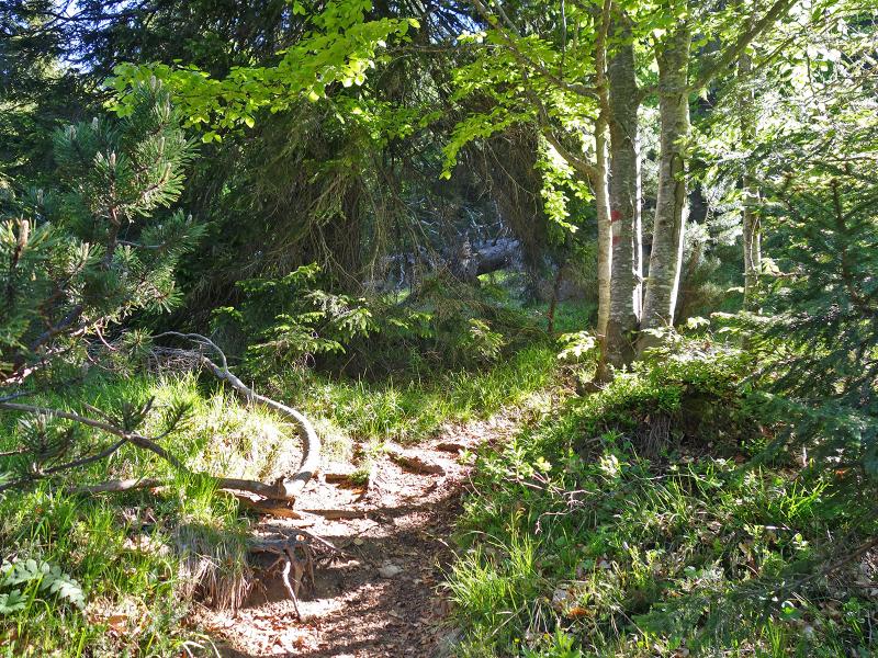
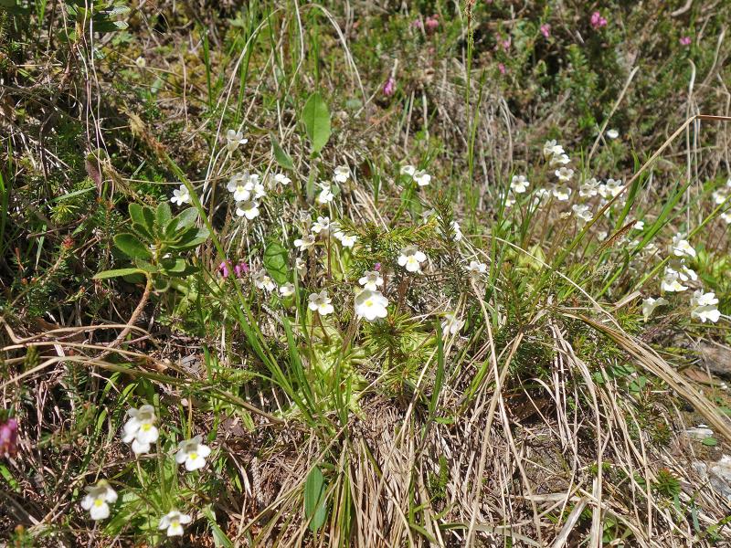
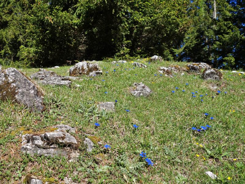
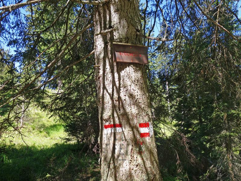
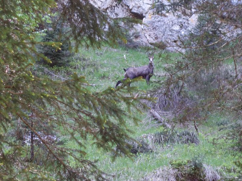
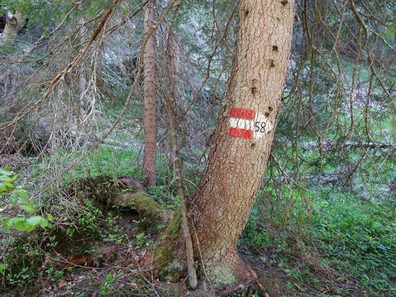
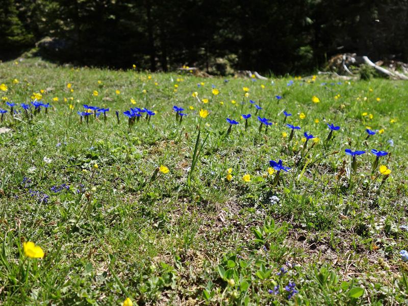
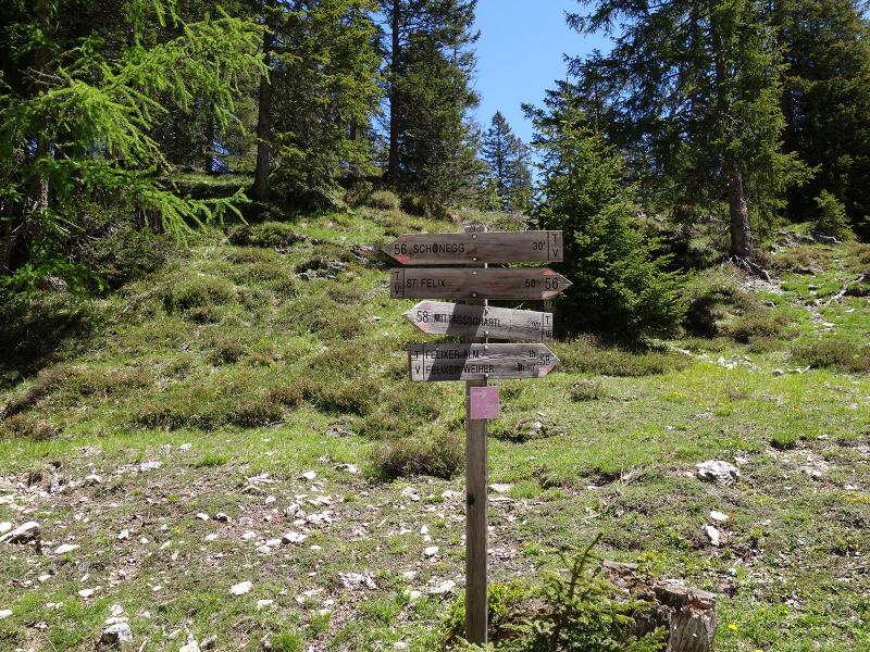
We head south-west through the green coniferous forest. On the left side, the slope drops steeply in places, so hikers must watch their step. In small clearings and along watercourses, nature shows its spring colours. Alpine butterworts, bilberries, lingonberries, gentians, and numerous other plants are in bloom. We reach the small Forcella di Mezzo (Mittagsscharte) ridge and shortly afterwards the junction known as "Wechsel". Here, we turn right onto path number 58.
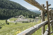
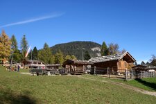
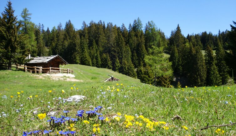
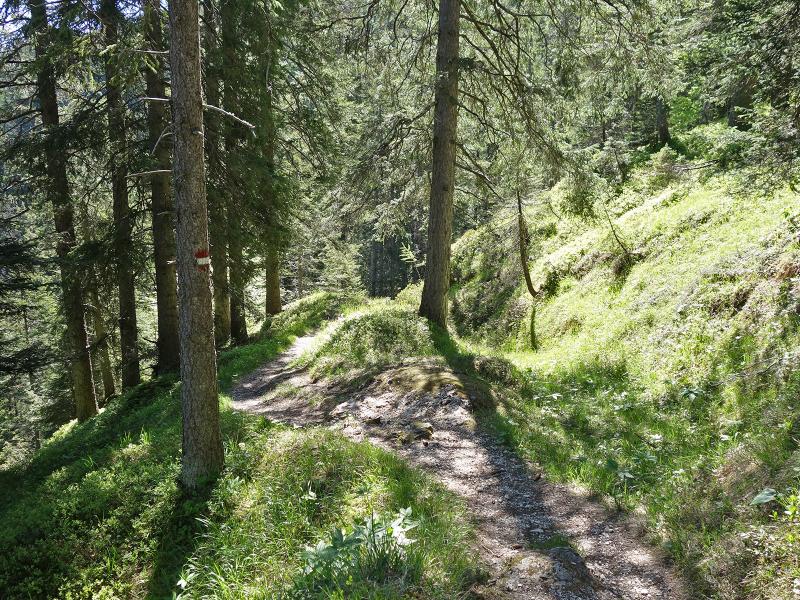
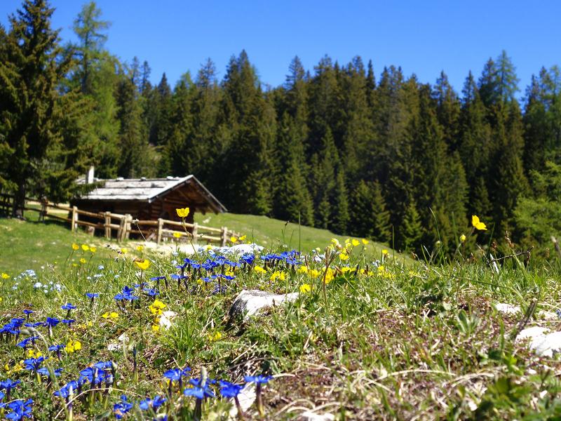
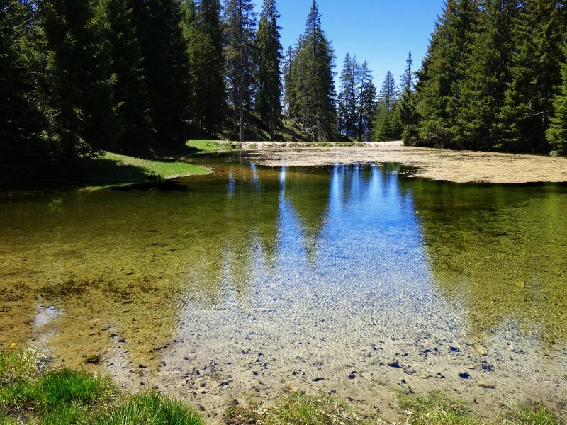
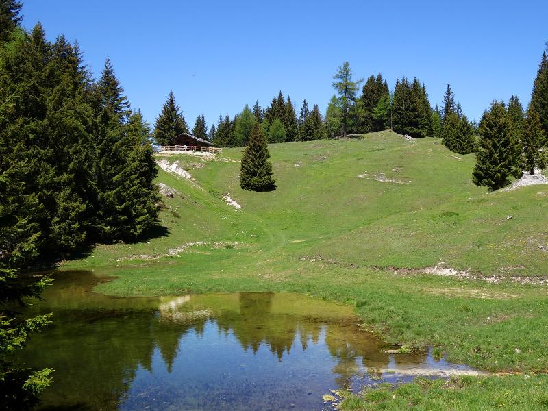
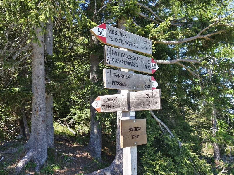
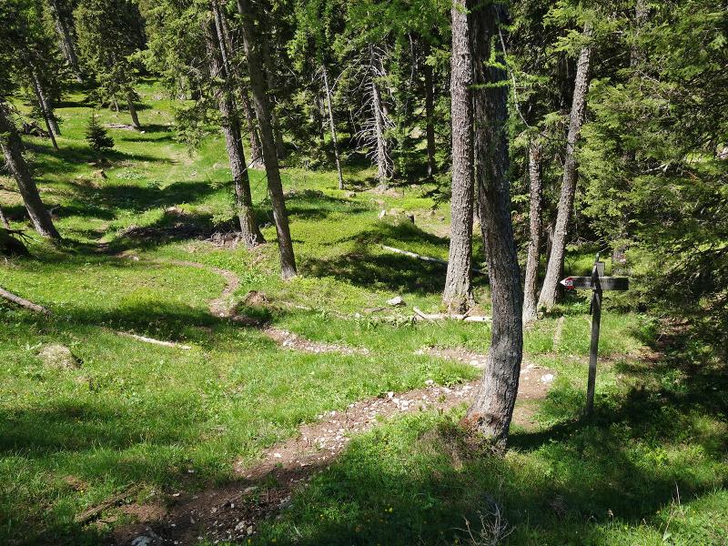
This route takes us to the Tillwiesen meadows in just a few minutes. This area is a small alpine meadow with a traditional wooden hut. Below the hut, a small pond lies at the edge of the forest - a tranquil place! After a break and a packed lunch from our rucksacks, we follow path number 56.
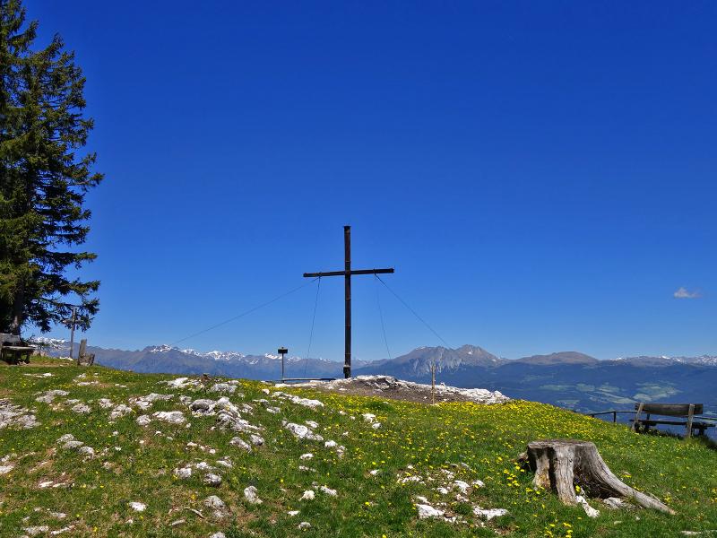
A 20-minute walk along this path brings us to the Schönegg viewpoint at an altitude of 1,767 metres (also signposted as "Schöneck"). From the summit cross, we can enjoy the view on the Texel Group, the Sarentino Alps, and the Dolomites. For the return journey, we follow path no. 50. After a short section along the rocky slope, it leads down to the "Wechsel" junction. From there, we take the outward route back to the 1,535-metre high Passo Palade mountain pass.
Author: AT
Experienced: May 2020
Last updated: 2026
-
- Starting point:
- Passo Palade (pass height, 1,535 m a.s.l.)
-
- Overall time:
- 03:50 h
-
- Total route length:
- 10,6 km
-
- Altitude:
- from 1.535 m to 1.767 m
-
- Altitude difference (uphill | downhill):
- +310 m | -308 m
-
- Route:
- Passo Palade - "Wechsel" - Tillwiesen meadows - Schönegg viewpoint - "Wechsel" - Passo Palade
-
- Signposts:
- no. 50, 58, 56, 50
-
- Destination:
- Schönegg viewpoint (1,767 m a.s.l.)
-
- Resting points:
- Gampenpass inn (all year round)
-
- Recommended time of year:
- Jan Feb Mar Apr May Jun Jul Aug Sep Oct Nov Dec
-
- Download GPX track:
- Hike to the Schönegg viewpoint and the Tillwiesen
-
- More information:
- The overall time shown above refers to the walking time only, not including breaks or stops.
If you want to undertake this hike, we recommend checking the weather and trail conditions in advance and on site before starting this hike!