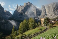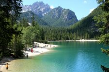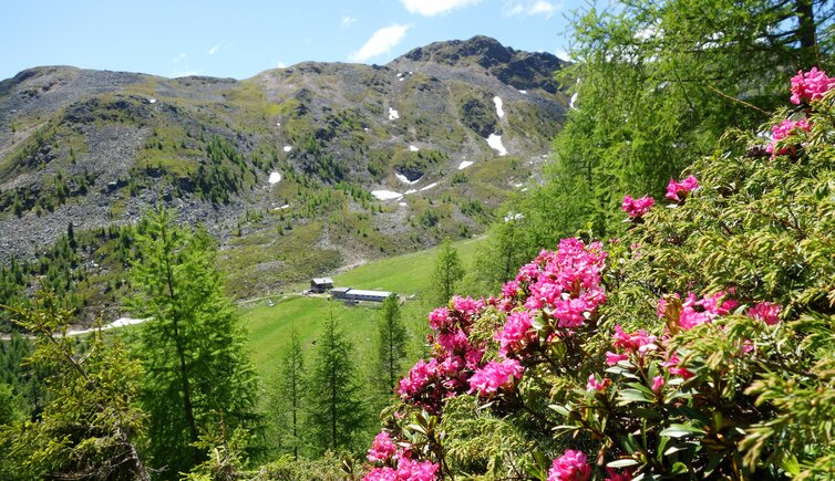
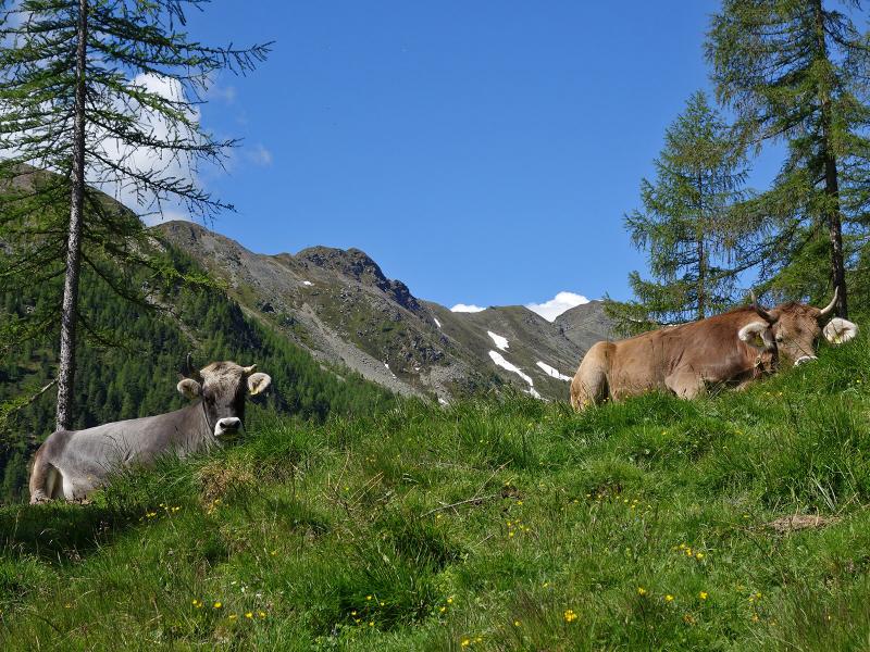
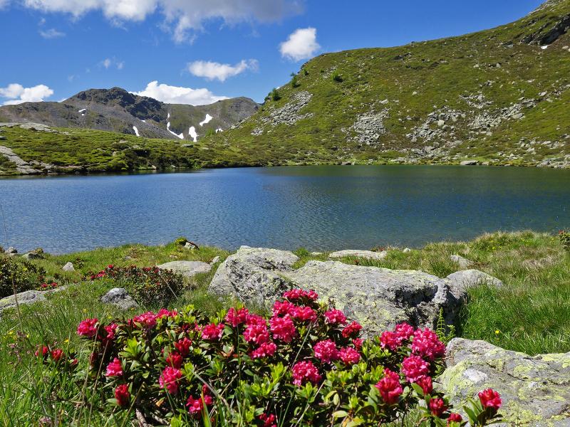
A mountain lake, alpine pastures, panoramic views and a varied landscape make up the charm of this hiking round tour in the Val d’Ultimo mountains
Image gallery: Hike to the Falkomai Mountain Huts
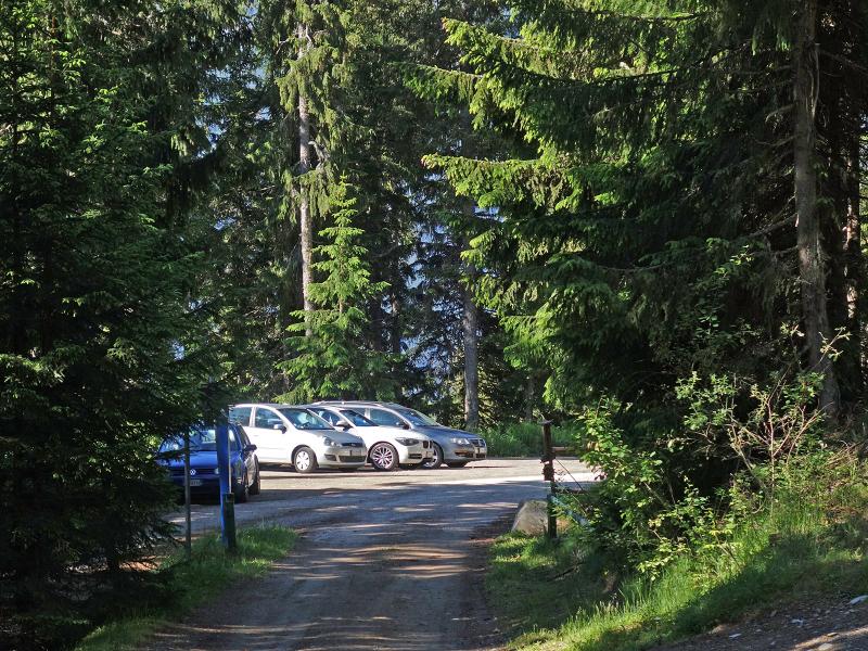
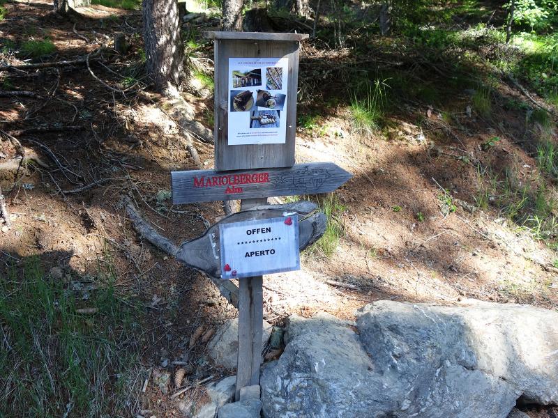
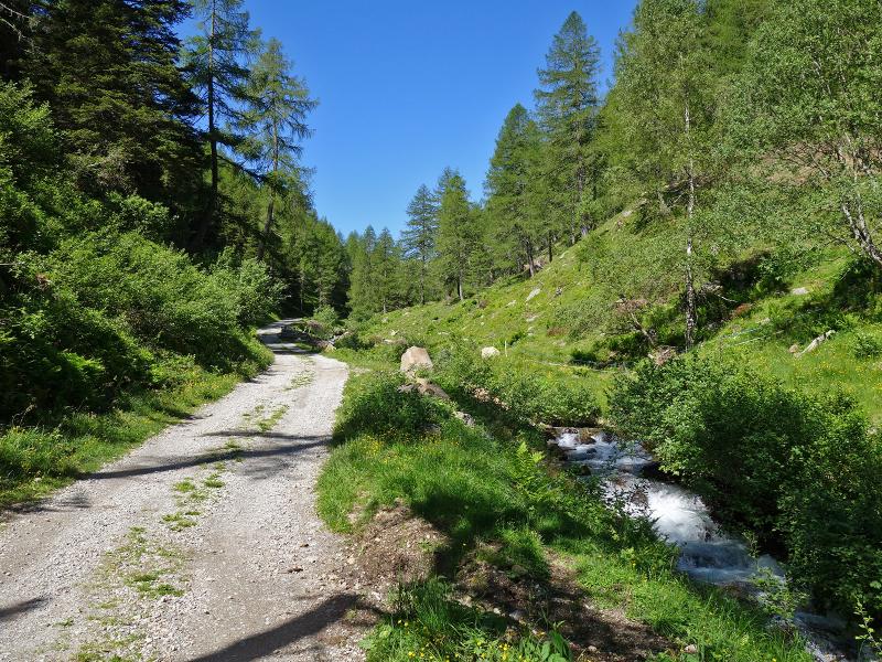

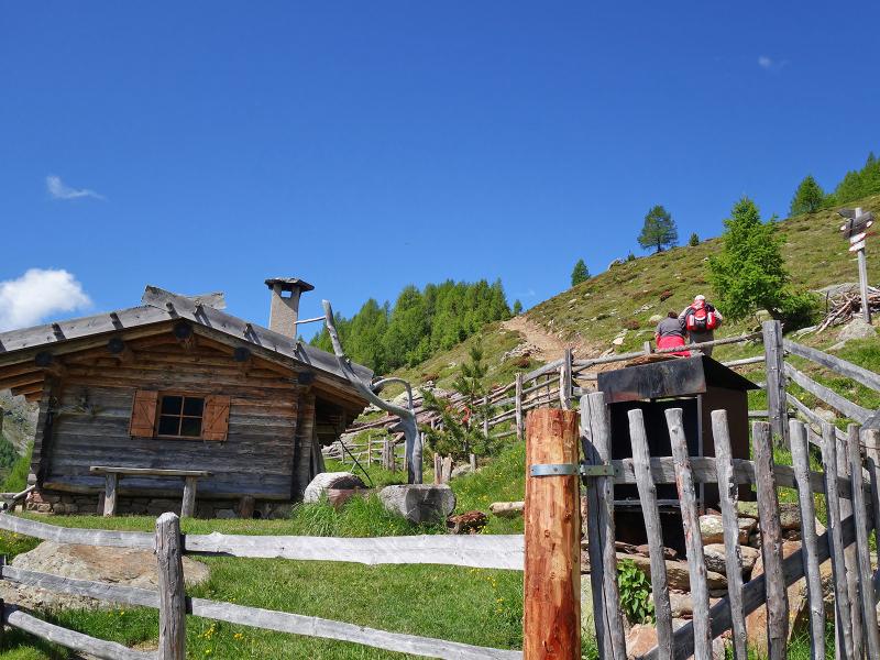
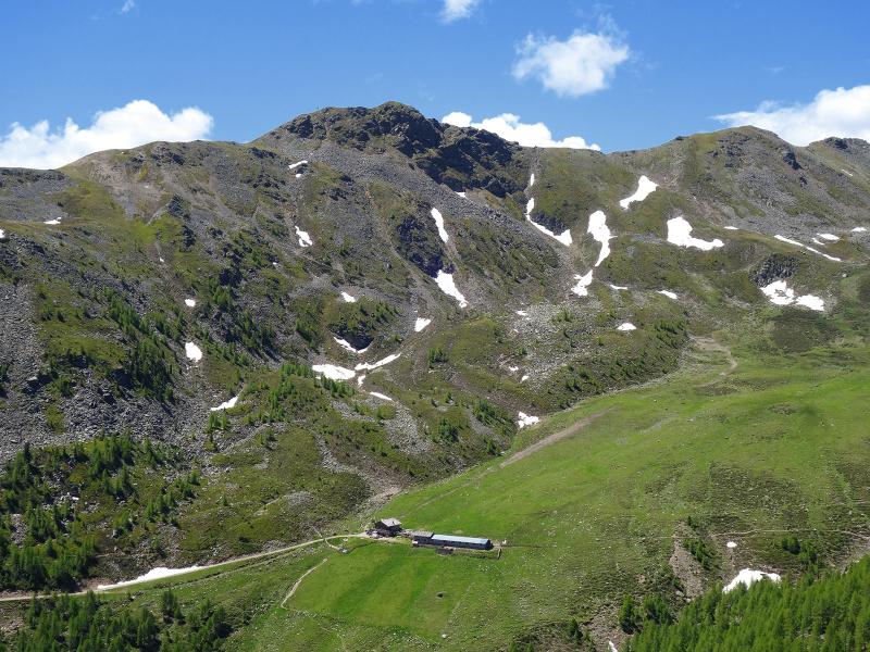
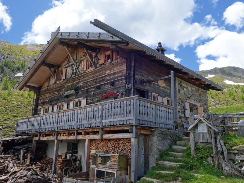
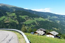
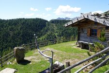
To reach the starting point, we follow the road sign to Santa Elena (St. Helena) in San Pancrazio (or Santa Valburga). The curvy mountain road leads via the mountain hamlet of Mariolberg to the car park in the forest before Santa Elena, where we park our car. We start along the forest road (path no. 9A) to the Mariolberg Mountain Hut (Mariolberger Alm, also called "Falkomai Kuhalm").
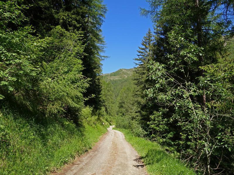
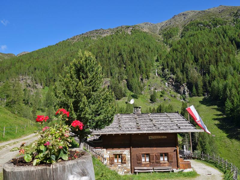
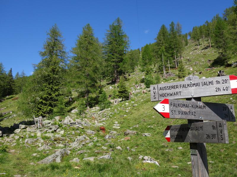
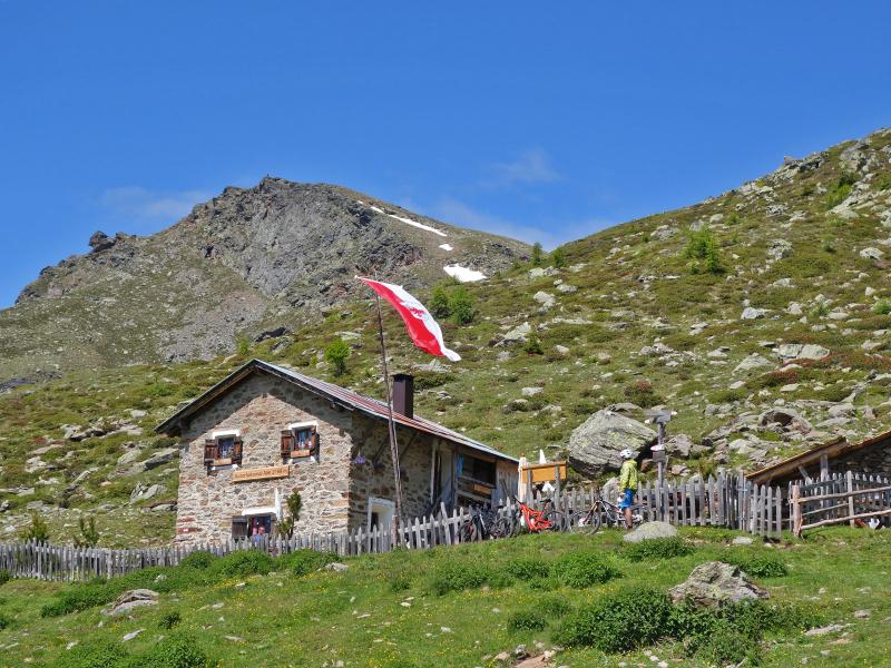
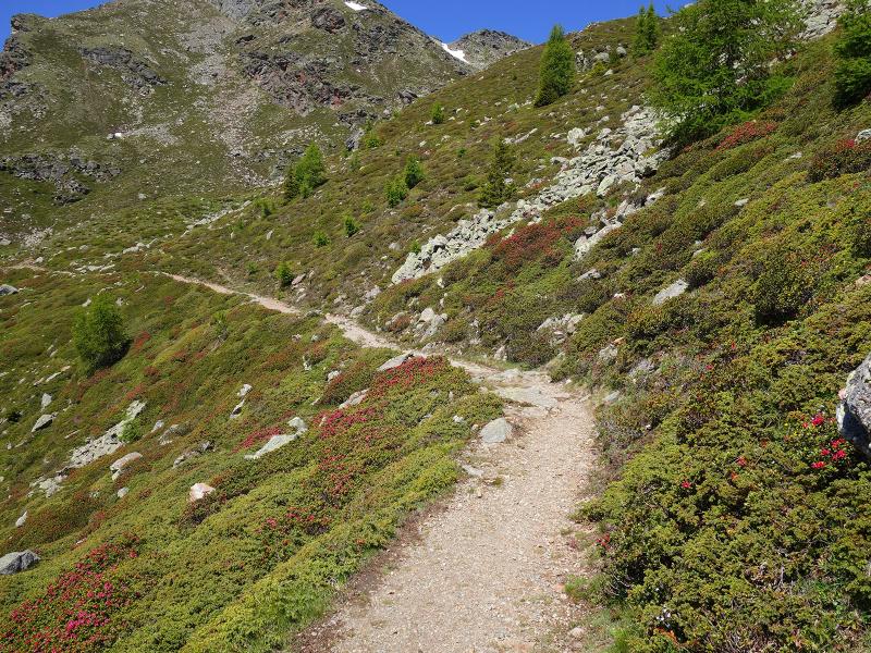
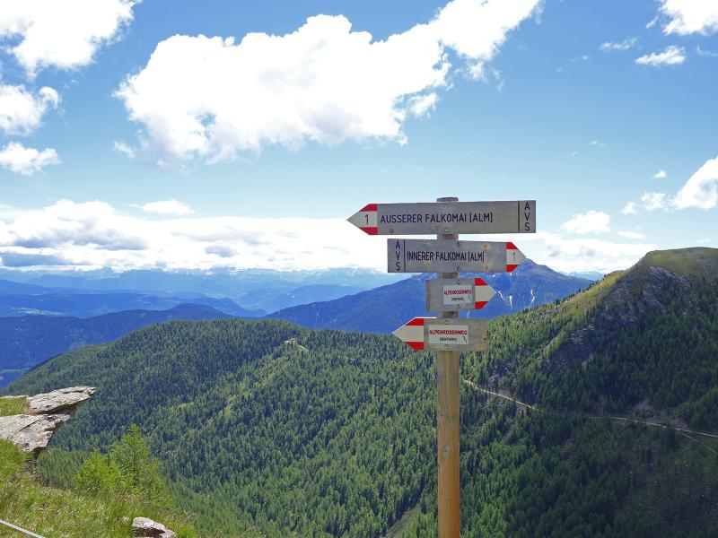
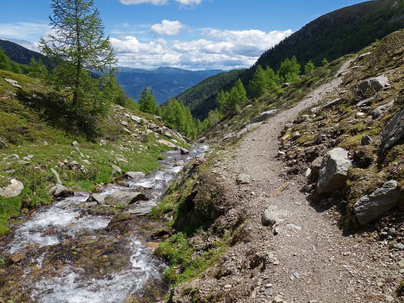
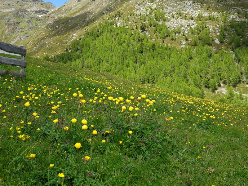
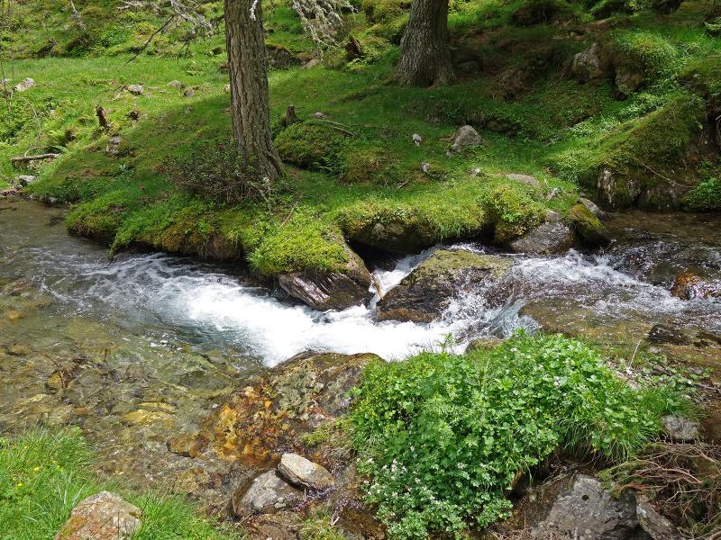
Past the hut, we stay on the path that leads along the Kirchenbach stream deeper into the valley until we reach a bridge, where we follow path no. 3 towards the Outer Falkomai Mountain Hut (Äussere Falkomai Alm). Here follows the steepest part of the hike - it is an ascent of almost 300 m to the Leger Mountain Hut (Leger Alm). Arrived at the top, the "Alpenrosenweg" path (Alpine Roses Trail) leads us a little easier on to the Falkomai Mountain Huts. The high route runs alternately through the forest and through the alpine heath landscape to the Outer Falkomai Mountain Hut.
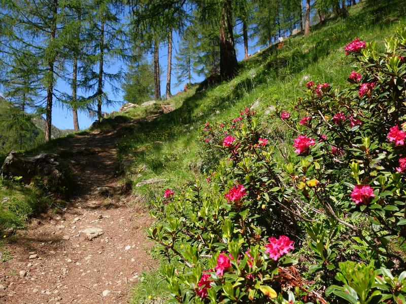
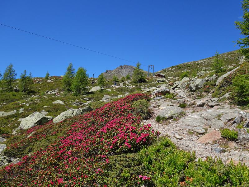
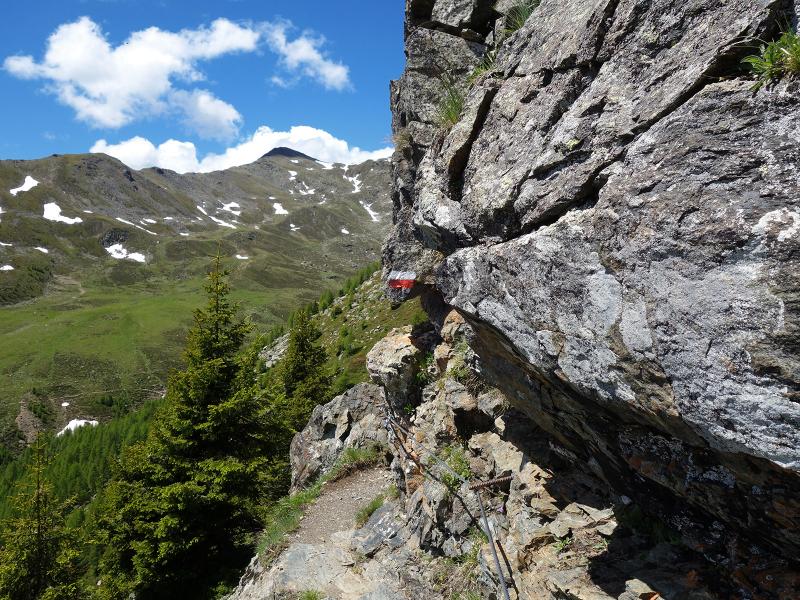
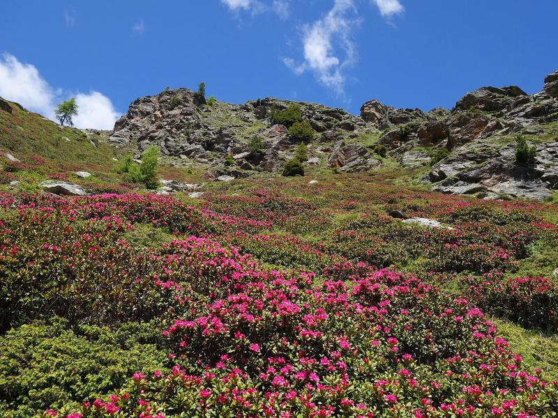
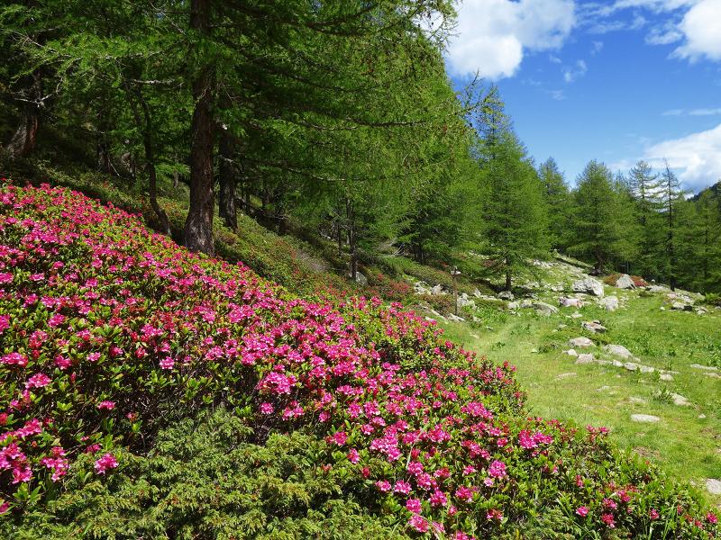
We continue along the same path to the beautiful Lake Falkomai and further on, already descending, to the Inner Falkomai Mountain Hut (Innere Falkomai Alm), which is located at the end of the valley. The above mentioned mountain huts offer food and drink. Back to the starting point, we take path no. 3A, which follows the course of the Kirchenbach stream and leads to the Mariolberg Mountain Hut. There we follow again the forest road back to the car park. Those who make the hike around the end of June can enjoy the splendour of the blooming alpine roses, which turn whole mountain slopes red. After Lake Falkomai the trail leads briefly through rocky terrain - difficult sections are secured with steel ropes.
Author: AT
-
- Starting point:
- parking space before Santa Elena (San Pancrazio in Val d'Ultimo)
-
- Overall time:
- 04:00 h
-
- Total route length:
- 12,7 km
-
- Altitude:
- from 1.554 m to 2.175 m
-
- Altitude difference:
- +653 m | -653 m
-
- Route:
- parking space - Mariolberg Mountain Hut - Outer Falkomai Mountain Hut - Lake Falkomai - Inner Falkomai Mountain Hut - Mariolberg Mountain Hut - parking space
-
- Signposts:
- no. 9A, 3, 1 (Alpenrosenweg), 3A, 9A
-
- Resting points:
- Mariolberg Mountain Hut, Outer Falkomai Mountain Hut, Inner Falkomai Mountain Hut
-
- Recommended time of year:
- Jan Feb Mar Apr May Jun Jul Aug Sep Oct Nov Dec
-
- Download GPX track:
- Hike to the Falkomai Mountain Huts
If you want to do this hike, we suggest you to check the weather and trail conditions in advance and on site before setting out.